| ヨセミテ国立公園 |
 |
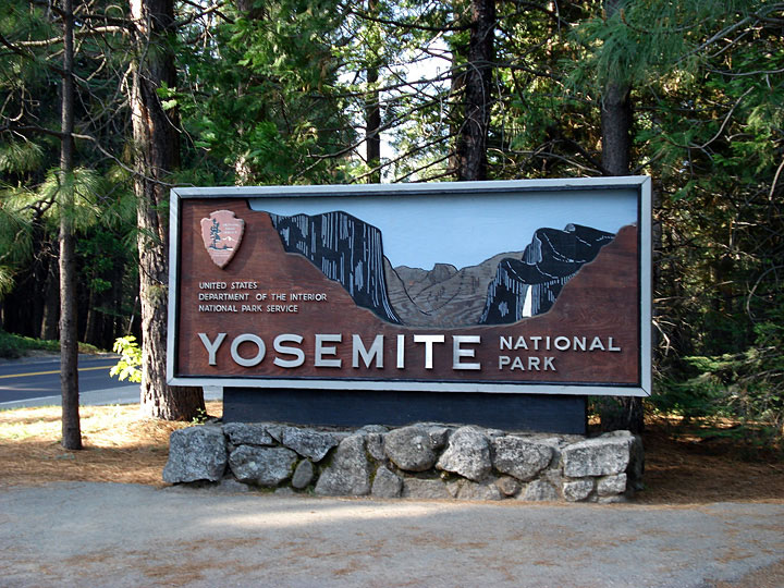
| (Yosemite National Park) |
|
|
|
|
| Sites (日本語) |
|
 |
|
|
|
|
| Articles (日本語) |
 |
 |
 |
|
| トラベル・ガイド |
 |
 |
 |
 |
|
|
|
 |
|
 |
|
 |
 |
|
|
|
| アドベンチャー・ガイド |
|
 |
|
| 写真 |
 |
|
 |
 |
 |
|
|
| サーチ |
 |
|
 |
|
|
|
| Sites |
 |
|
 |
 |
 |
 |
 |
 |
 |
 |
 |
|
| Articles |
 |
 |
 |
 |
 |
 |
|
 |
|
 |
 |
 |
 |
 |
 |
 |
 |
 |
 |
 |
|
| Directories |
|
 |
 |
 |
 |
 |
 |
 |
 |
 |
 |
 |
|
| Travel Guides |
|
|
 |
 |
|
 |
 |
 |
 |
 |
 |
 |
 |
|
 |
 |
 |
 |
 |
 |
 |
 |
|
 |
 |
|
|
 |
 |
 |
 |
 |
 |
 |
 |
 |
|
| Outdoor & Adventure |
|
 |
|
 |
 |
|
 |
 |
 |
 |
 |
 |
 |
|
|
|
 |
 |
|
 |
|
|
| Maps |
 |
 |
 |
|
 |
 |
 |
 |
 |
 |
 |
 |
 |
|
|
|
 |
|
|
 |
|
|
 |
 |
 |
|
|
| Photo Galleries |
 |
 |
|
 |
|
|
|
 |
 |
 |
 |
 |
 |
|
 |
 |
 |
 |
 |
 |
 |
 |
|
 |
 |
|
|
|
|
|
| Photos |
|
|
|
 |
 |
 |
 |
 |
|
|
|
 |
|
|
|
| Searches |
|
|
|
|
|
|
|
|
|
|
 |
|
 |
|
 |
|
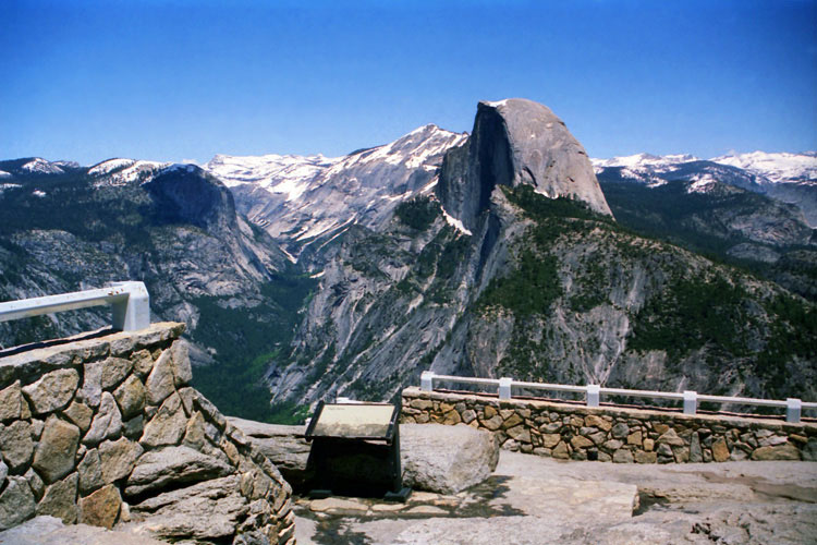
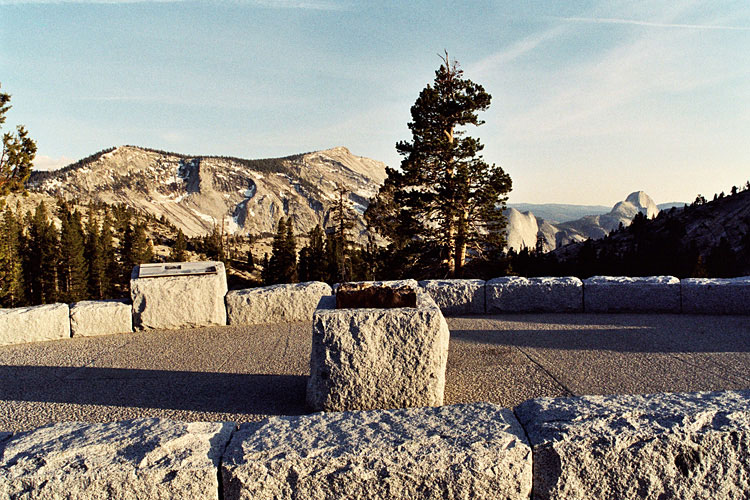
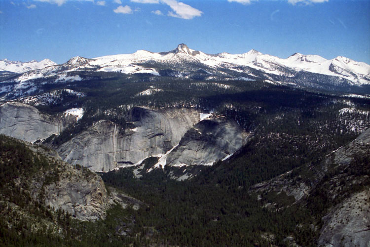
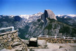
| Glacier Point |
|
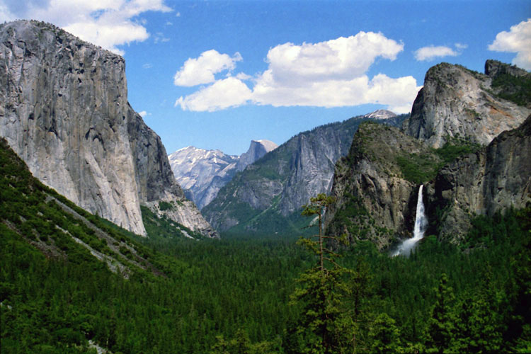
Tunnel View |
|
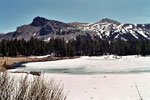
Olmsted Point |
|
|
|
|
|
|
|
|
|
|
|
 |
|
 |
|
 |
|
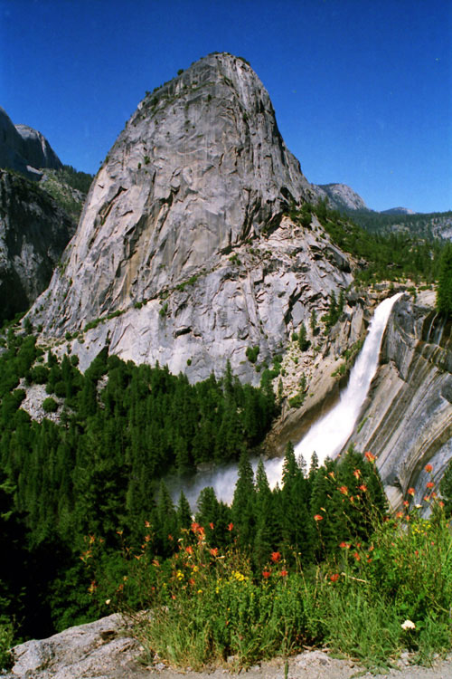
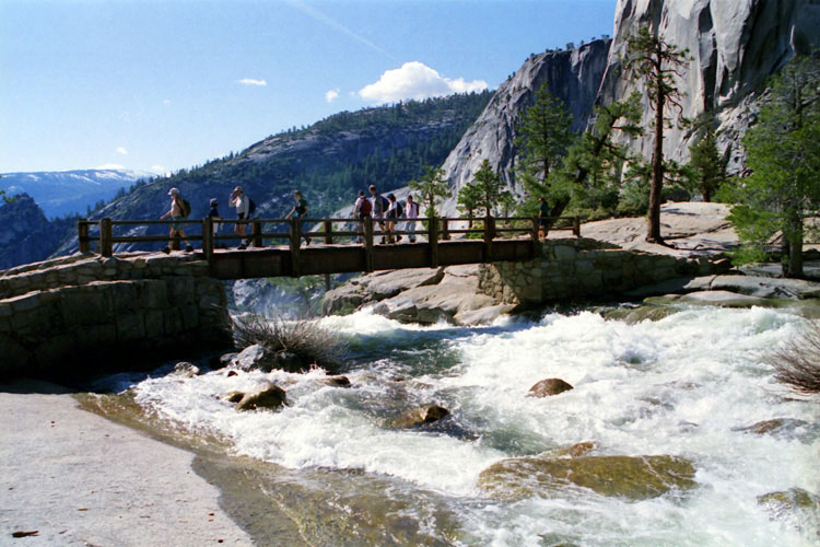
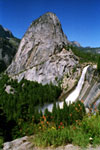
Nevada Fall from
John Muir Trail |
|
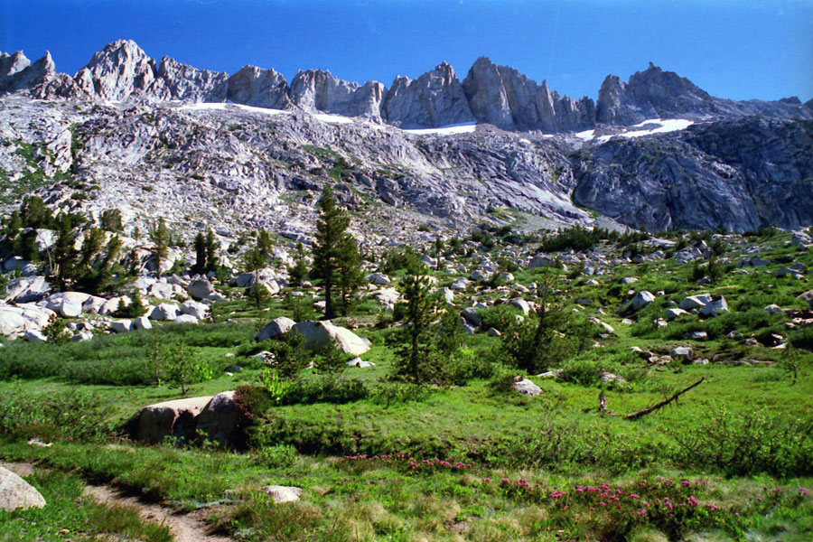
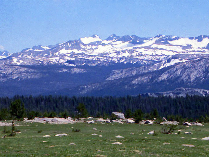
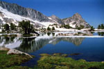
Ragged Peak and
Upper Young Lake |
|
Sawtooth Ridge from
Burro Pass Trail |
|
|
|
|
|
|
|
|
|
|
|
|
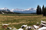
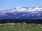
Tuolumne County |
|
|
|
|
|
|
 |
 |
|
|
|
| Mariposa County |
|
|
|
|
|
|
|
|
|
|
|
| Madera County |
|
|
|
|
|
|
|
|
|
|
|
|
|
 |
|
 |
|
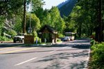
El Portal Road near
Arch Rock Entrance |
|
Big Oak Flat Road near
Big Oak Flat Entrance |
|
|
|
|
|
|
|
|
 |
|
 |
|
 |
|
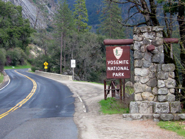
Big Oak Flat Entrance
and Big Oak Flat Road |
|
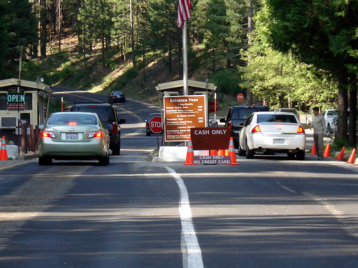
Arch Rock Entrance
and El Portal Road |
|
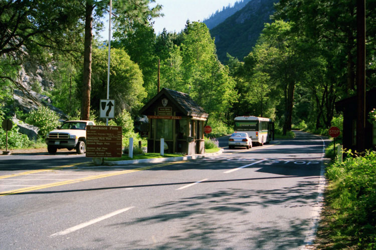
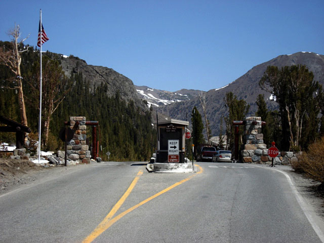
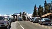
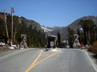
Tioga Pass Entrance
and Tioga Pass Road |
|
|
|
|
|
|
|
|
 |
|
 |
|
 |
|
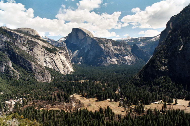
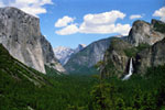
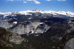
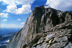
Half Dome and Yosemite
Valley from Columbia Rock |
|
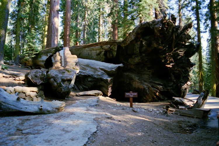
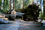
Fallen Tunnel Tree
at Mariposa Grove |
|
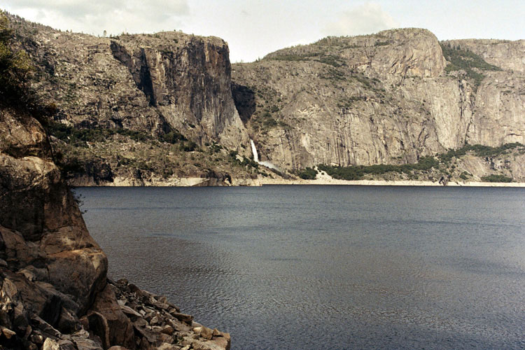
Hetch Hetchy Valley
(Hetch Hetchy Reservoir) |
|
|
 |
|
 |
|
 |
|
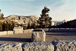
| Olmsted Point |
|
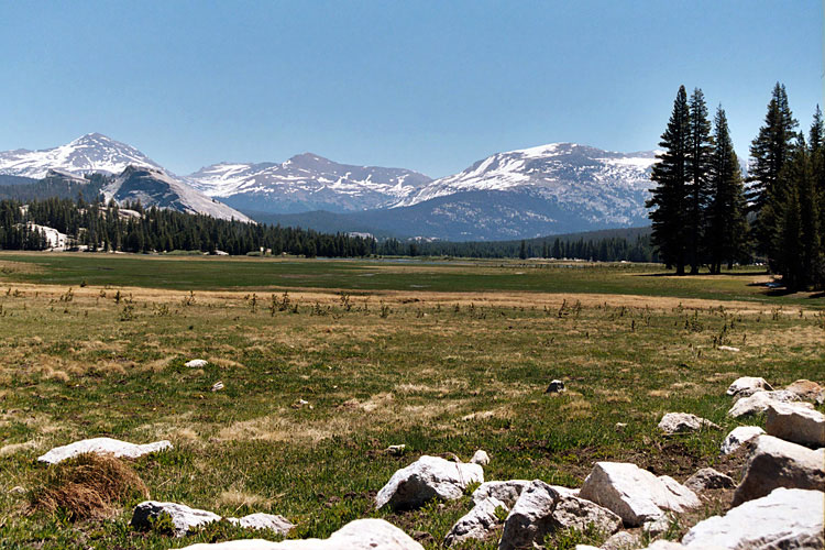
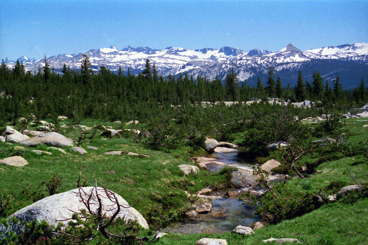
Tuolumne Meadows |
|
Tioga Pass
Entrance Station |
|
|
|
|
|
|
|
|
|
|
|
 |
|
 |
|
 |
|
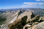
Sawtooth Ridge from
Matterhorn Peak summit |
|
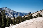
Mt. Lyell and Cathedral Range
from Young Lakes Trail |
|
Mt. Clark and Clark Range
from Half Dome summit |
|
|
|
|
|
|
|
|
|
|
|
 |
|
 |
|
 |
|
Mount Lyell from
Young Lake Trail |
|
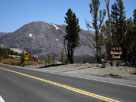
Mount Dana from
near Tioga Pass |
|
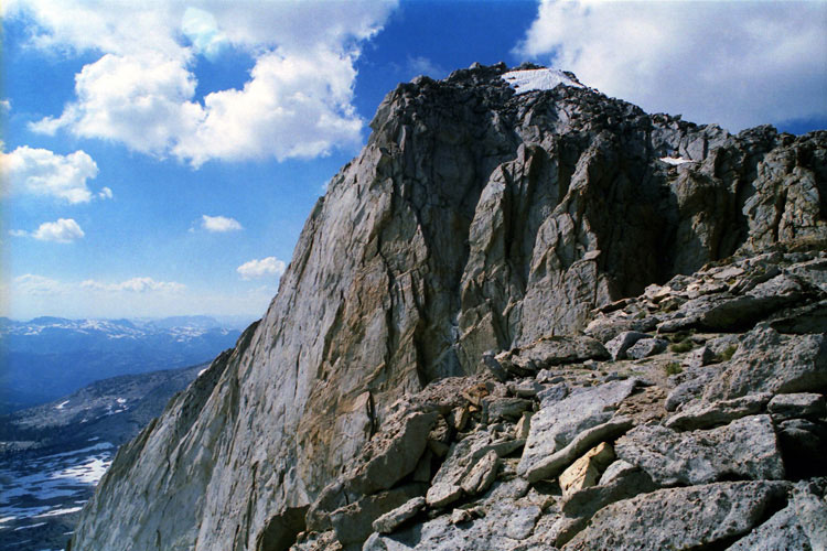
Mount Conness summit |
|
|
|
|
|
|
|
|
|
|
|
 |
|
 |
|
 |
|
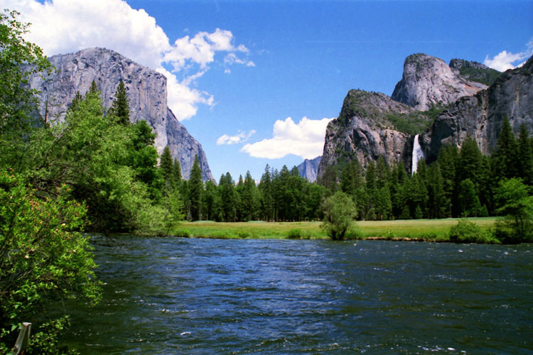
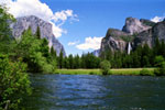
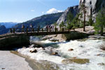
Merced River
from Valley View |
|
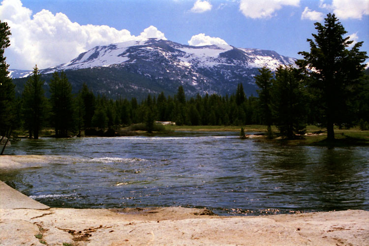
Mammoth Peak
and Tuolumne River |
|
South Fork Tuolumne
River from Tioga Road |
|
|
|
|
|
 |
|
 |
|
 |
|
John Muir Trail
at top of Nevada Fall |
|
John Muir Trail
(Pacific Crest Trail)
in Tuolumne Meadows |
|
Pacific Crest Trail
(Tahoe-Yosemite Trail)
in Tuolumne Meadows |
|
|
|
|
|
|
|
|
|
|
|
 |
|
|
|
Tioga Peak and Tioga Pass
Road from Tioga Pass |
|
|
|
|
|
|
|
|
|
 |
|
|
|
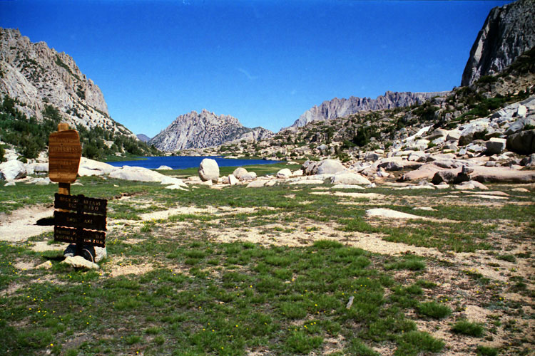
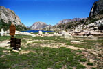
Kettle Peak and Snow Lake
(Hoover Wilderness)
from Rock Island Pass |
|
|