| デス・バレー国立公園 2006 (Day 1) |
 |
|
|
|
|
|
|
|
|
|
|
| Trona Wildrose Road |
|
 |
|
|
|
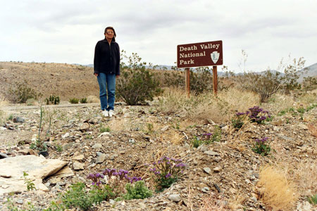
Park entrance on
Trona Wildrose Road |
|
|
|
|
|
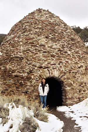
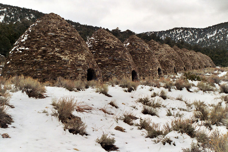
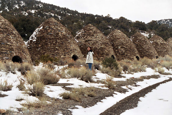
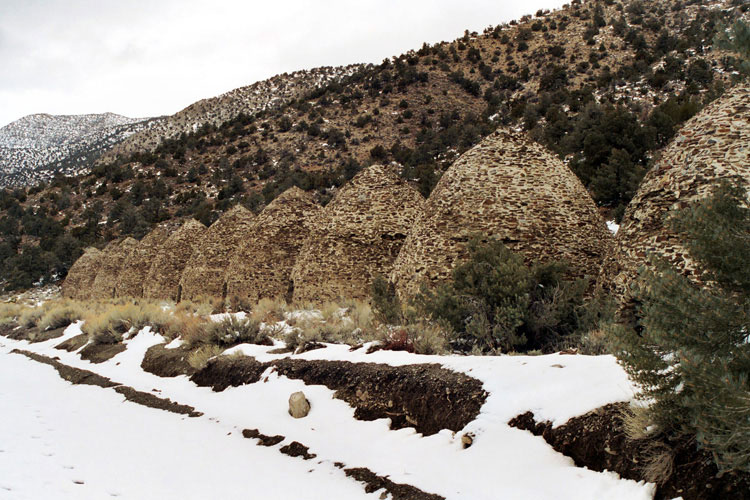
| Wildrose Road & Charcoal Kiln Road |
|
| No photos |
|
|
|
|
|
|
|
|
|
|
|
|
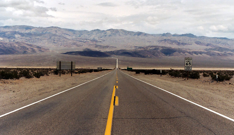
| Emigrant Canyon Road |
|
| No photos (Road closed) |
|
|
|
|
|
|
|
|
|
| Stovepipe Wells Village |
|
| No photos |
|
|
|
|
| Salt Creek |
|
 |
|
 |
|
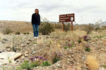
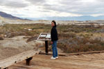
| Salt Creek Interpretive Trail |
|
|
|
|
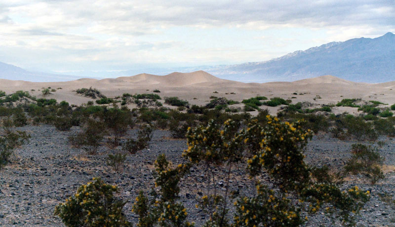
| Mesquite Flat Sand Dunes |
|
 |
|
|
|
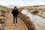
Sand Dunes
from Highway 190 |
|
|
|
|
|
| Stovepipe Wells Village |
|
| No photos |
|
|
|
|
| Day 2 - Natural Bridge & Golden Canyon |
|
 |
|
 |
|
 |
|
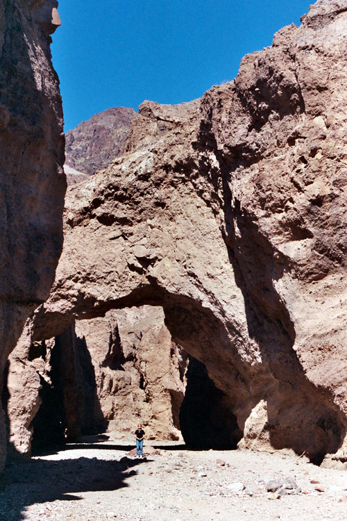
Natural Bridge
Trail |
|
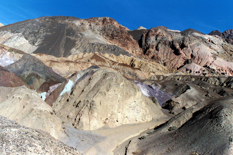
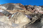
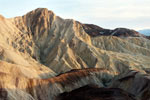
Artist's Palette |
|
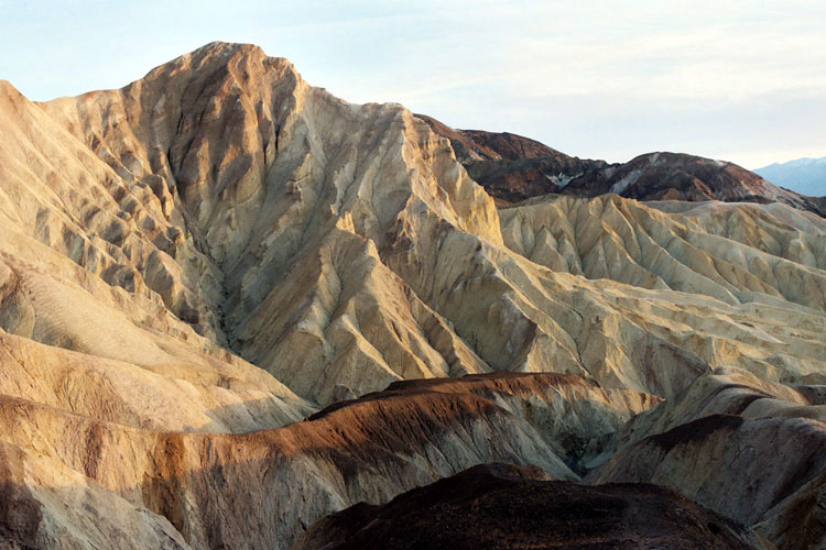
Golden Canyon |
|