| Mojave National Preserve & |
 |
| Death Valley National Park (Day 3) |
 |
|
|
 |
|
|
 |
|
 |
|
|
 |
 |
 |
 |
 |
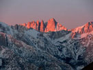
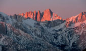
| Mount Whiney from Dow Villa Motel, Lone Pine |
|
 |
|
 |
|
|
 |
 |
 |
 |
 |
 |
 |
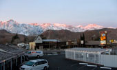
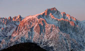
Mt. Whiney and Mt. Williamson
from Dow Villa Motel, Lone Pine |
|
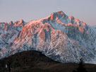
Lone Pine Peak from Dow Villa Motel |
|
 |
|
 |
|
|
 |
 |
 |
 |
 |
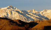
Lone Pine Peak and Mount
Whitney from gas station
off Highway 395, Lone Pine |
|
|
 |
|
 |
|
|
 |
 |
 |
 |
 |
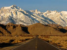
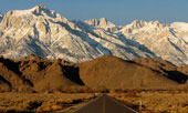
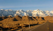
Lone Pine Peak, Mount Whitney and Mount
Russell from Highway 136 |
|
 |
 |
 |
 |
 |
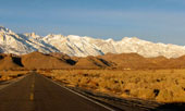
Mt. Langley, Lone Pine Peak, Mt. Whitney, Mt. Russell,
Mt. Williamson and Alabama Hills from Highway 136 |
|
 |
 |
 |
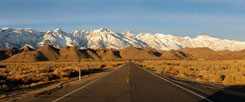
Mount Langley, Lone Pine Peak, Mount
Whitney, Mount Russell, Mount Williamson
and Alabama Hills from Highway 136 |
|
 |
 |
 |
 |
 |
 |
 |
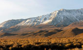
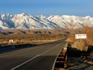
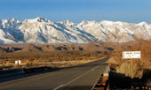
Horseshoe Meadows Road and
Wanoga Peak from Highway 136 |
|
Lone Pine Peak, Mount Whitney and Mount Russell
from Highway 136 crossing Owens River |
|
 |
|
 |
| Dolomite Loop |
 |
 |
 |
 |
 |
 |
 |
 |
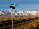
Lone Pine Peak, Mount
Whitney and Dolomite
Loop from Owenyo Road |
|
|
 |
|
 |
|
|
 |
 |
 |
 |
 |
 |
 |
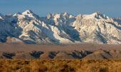
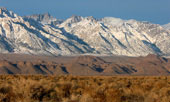
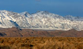
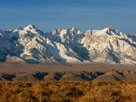
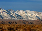
Mount Langley, Mount Corcoran, Lone Pine Peak, Mount Whitney, Mount Russell,
Mount Carillon, Mount Barnard and Mount Williamson from Owenyo Road |
|
 |
 |
 |
 |
 |
 |
 |
 |
|
Mount Langley,
Mount Corcoran and
Lone Pine Peak |
|
Mount Whitney,
Mount Russell and
Mount Carillon |
|
Mount Barnard and
Mount Williamson |
|
 |
 |
 |
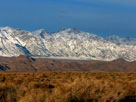
Mount Langley, Mount Corcoran, Lone Pine Peak, Mount
Whitney, Mount Russell, Mount Carillon, Mount Barnard
and Mount Williamson from Owenyo Road |
|
 |
 |
 |
 |
 |
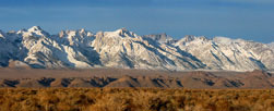
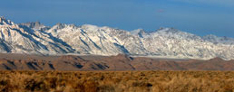
Mount Langley, Mount Corcoran, Lone Pine Peak, Mount Whitney, Mount Russell,
Mount Carillon, Mount Barnard and Mount Williamson from Owenyo Road |
|
 |
 |
 |
 |
 |
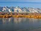
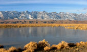
Mount Langley, Lone Pine Peak and Mount Whitney
from Owenyo Road |
|
 |
 |
 |
 |
 |
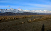
Lone Pine Narrow Gauge Road
and Owenyo Road at Long
John Canyon Road junction |
|
|
 |
|
 |
|
|
 |
 |
 |
 |
 |
 |
 |
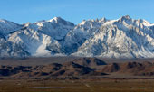
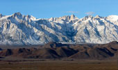
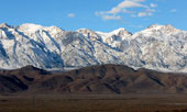
Mount Langley, Mount Corcoran, Lone Pine Peak, Mount Whitney, Mount
Russell, Mount Carillon, Tunnabora Peak, Mount Barnard, Trojan
Peak and Mount Williamson from Long John Canyon Road |
|
 |
 |
 |
 |
 |
 |
 |
 |
|
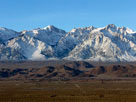
Mount Langley, Mount
Corcoran and Lone
Pine Peak |
|
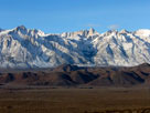
Lone Pine Peak, Mount
Whitney, Mount Russell
and Mount Carillon |
|
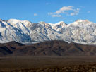
Tunnabora Peak, Mount
Barnard, Trojan Peak
and Mount Williamson |
|
 |
 |
 |
Mt. Langley, Mt. Corcoran, Lone Pine Peak, Mt. Whitney,
Mt. Russell, Mt. Carillon, Tunnabora Peak, Mt. Barnard, Trojan
Peak and Mt. Williamson from Long John Canyon Road |
|
 |
 |
 |
 |
 |
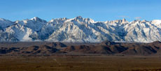
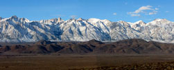
Mount Langley, Mount Corcoran, Lone Pine Peak, Mount Whitney, Mount
Russell, Mount Carillon, Tunnabora Peak, Mount Barnard, Trojan
Peak and Mount Williamson from Long John Canyon Road |
|
 |
 |
 |
 |
 |
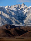
Mount Whitney
from Long John
Canyon Road |
|
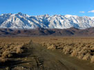
Lone Pine Peak and
Mount Whitney from
Long John Canyon Road |
|
 |
|
 |
|
|
 |
 |
 |
 |
 |
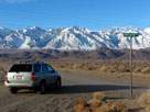
Lone Pine Narrow Gauge
Road and Owenyo Road
(Owenyo Lone Pine Road) |
|
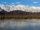
Trojan Peak and Mount
Williamson from Lone
Pine Narrow Gauge Road |
|
 |
 |
 |
 |
 |
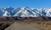
Mount Langley, Lone Pine
Peak and Mount Whitney from
Lone Pine Narrow Gauge Road |
|
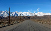
Lone Pine Peak, Mount Whitney
and Mount Williamson from
Lone Pine Narrow Gauge Road |
|
 |
 |
 |
 |
 |
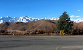
Lone Pine Peak, Mount Whitney
and Highway 395 from Lone
Pine Narrow Gauge Road |
|
|
 |
|
 |
|
|
 |
 |
 |
 |
 |
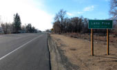
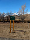
U.S. 395 (south)
entering Lone Pine |
|
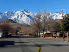
Lone Pine Peak
from U.S. 395 |
|
 |
|
 |
|
|
 |
 |
 |
 |
 |
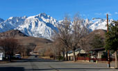
Lone Pine Peak and Mount Whitney
from Whitney Portal Road off U.S. 395 |
|
 |
 |
 |
 |
 |
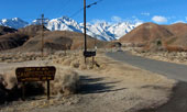
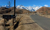
Lone Pine Peak, Mount Whitney and Whitney Portal Road
from Tuttle Creek Road junction |
|
 |
|
 |
|
|
 |
 |
 |
 |
 |
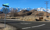
Mount Langley, Lone Pine Peak
and Tuttle Creek Road
from Whitney Portal Road |
|
|
 |
|
 |
|
|
 |
 |
 |
 |
 |
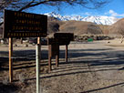
Potagee Joe Campground
off Tuttle Creek Road |
|
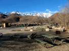
Lone Pine Peak and
Mount Whitney from
Potagee Joe Campground |
|
 |
|
 |
|
|
 |
 |
 |
 |
 |
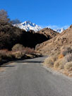
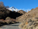
Lone Pine Peak, Mount Whitney and
Tuttle Creek Road entering Alabama Hills |
|
 |
 |
 |
 |
 |
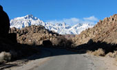
Lone Pine Peak, Mount
Whitney and Mount Russell
from Tuttle Creek Road |
|
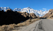
Lone Pine Peak and Mount
Whitney from Tuttle Creek Road |
|
 |
 |
 |
 |
 |
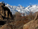
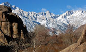
| Mount Whitney from Tuttle Creek Road |
|
 |
|
 |
|
|
 |
 |
 |
 |
 |
Lone Pine Peak and Granite View Drive
from Horseshoe Meadows Road |
|
 |
|
 |
|
|
 |
 |
 |
 |
 |
Lone Pine Peak
and Tuttle Creek
Campground entrance from
Horseshoe Meadows Road |
|
Tuttle Creek Campground entrance
from Horseshoe Meadows Road |
|
 |
|
 |
|
|
 |
 |
 |
 |
 |
Horseshoe Meadows Road
from Whitney Portal Road |
|
Lone Pine Peak, Mount
Whitney, Whitney Portal Road
and Horseshoe Meadows Road |
|
 |
|
 |
|
|
 |
 |
 |
 |
 |
Lone Pine Peak, Mount Whitney
and Whitney Portal Road near
Horseshoe Meadows Road junction |
|
Lone Pine Peak,
Mount Whitney and
Whitney Portal Road |
|
 |
 |
 |
 |
 |
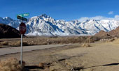
Lone Pine Peak, Mount
Whitney and Whitney Portal
Road from Movie Road |
|
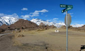
Mount Williamson and Whitney
Portal Road from Movie Road |
|
 |
 |
 |
 |
 |
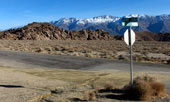
Inyo Mountains, Alabama
Hills and Movie Road
from Whitney Portal Road |
|
|
 |
|
 |
|
|
 |
 |
 |
 |
 |
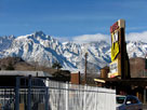
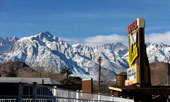
Lone Pine Peak and Mount Whitney
from Dow Villa Motel, Lone Pine |
|
 |
|
 |
|
|
 |
|
 |
| Highway 395 (U.S. Route 395) |
 |
 |
 |
 |
 |
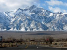
Mount Williamson from
Manzanar Reward Road
off Highway 395 |
|
|
 |
|
 |
|
|
 |
 |
 |
 |
 |
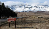
Goodale Mountain and Goodale
Road from Tinnemaha Road |
|
|
 |
|
 |
|
|
 |
 |
 |
 |
 |
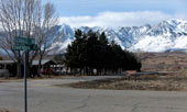
Goodale Mountain and
Goodale Road from Tinnemaha
Road (Tinemaha Road) |
|
|
 |
 |
 |
 |
 |
 |
 |
Goodale Mountain and Taboose Campground
from Tinnemaha Road |
|
Taboose Creek through
Taboose Campground |
|
 |
 |
 |
 |
 |
 |
 |
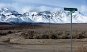
Mount Williamson, Taboose
Campground and Tinnemaha
Rd from Aberdeen Station Rd |
|
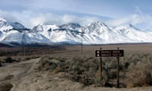
Split Mountain (in clouds), Mount Tinemaha,
Taboose Creek Road and Tinnemaha Road
from Aberdeen Station Road |
|
 |
|
 |
|
|
 |
 |
 |
 |
 |
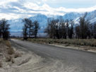
Mount Williamson and
Tinnemaha Road from
Aberdeen Station Road |
|
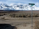
Taboose Creek Road and
Tinnemaha Road from
Aberdeen Station Road |
|
 |
|
 |
|
|
 |
|
 |
|
|
 |
 |
 |
 |
 |
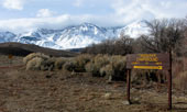
Mount Tinemaha, Birch
Mountain and Tinnemaha
Road from Fish Springs Road |
|
|
 |
|
 |
|
|
 |
 |
 |
 |
 |
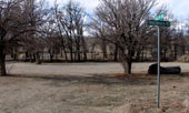
Tinnemaha Campground and
Fuller Road from Tinnemaha
Road (Tinemaha Road) |
|
|
 |
|
 |
|
|
 |
 |
 |
 |
 |
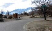
Tinnemaha Campground and
Fuller Road from Tinnemaha
Road (Tinemaha Road) |
|
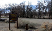
Tinnemaha Campground
from Tinnemaha Road |
|
 |
|
 |
|
|
 |
 |
 |
 |
 |
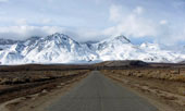
Mount Tinemaha and Birch
Mountain from Fuller Road |
|
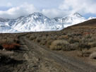
Mount Tinemaha, Birch
Mountain and Fuller Road |
|
 |
|
 |
| Fish Springs Road |
 |
 |
 |
 |
 |
 |
 |
 |
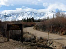
Mount Tinemaha, Birch
Mountain and Birch Creek
Road from Tinnemaha Road |
|
|
 |
|
 |
|
|
 |
 |
 |
 |
 |
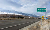
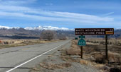
| U.S. 395 (north) entering Big Pine |
|
|
 |
|
 |
|
|
 |
 |
 |
 |
 |
Inyo Mountains and
Highway 168 eastbound |
|
|
 |
|
 |
|
|
 |
|
 |
|
|
 |
 |
 |
 |
 |
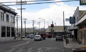
Main Street (U.S. 395) and
East Line Street, Bishop |
|
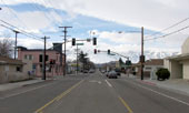
West Line Street (CA 168) |
|
 |
|
 |
| Highway 395 (U.S. Route 395) |
 |
 |
 |
 |
 |
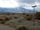
Mount Williamson and
Moffat Ranch Road
off Highway 395 |
|
|
 |
|
 |
|
|
 |
 |
 |
 |
 |
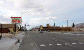
| Lone Pine and U.S. 395 (north) |
|
|
 |
|
 |
|
|
 |
 |
 |
 |
 |
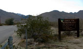
Ninemile Canyon Road (9 Mile
Canyon Road) off Highway 395 |
|
|
 |
|
 |
| Highway 178 (California State Route 178) |
 |
 |
 |
 |
 |
 |
 |
 |
 |
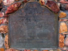
Freeman Junction Historic
Landmark off Highway 178 |
|
|
 |
|
 |
| Walker Pass |
 |
 |
 |
 |
| No photos ...Found out CA 178 was closed... |
|
 |
|
 |
|
|
 |
|
 |
|
|
 |
|
 |
|
|
 |
|
 |
| Highway 99 (U.S. Route 99) |
 |
| No photos ...Heavy raining... |
|
 |
|
 |
| See also |
 |
|
|
|