() Photo Albums / Sierra Nevada Traverse / Rivers & Creeks [ITODA.COM]
Tyndall Creek
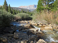
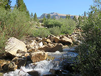
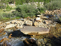
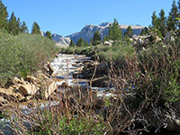
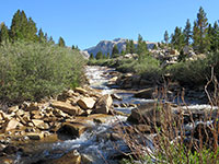
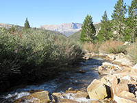
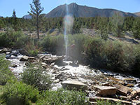
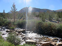
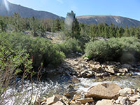
Photos of Tyndall Creek and vicinity in Sequoia National Park, viewed from and crossed on Pacific Crest Trail (John Muir Trail). [August 7 & 8, 2018]
[IMG_2809.jpg] [IMG_2829.jpg] [IMG_2830.jpg]
[maps.google.com.jpg] [naturalatlas.com.png]

Above Tyndall Creek / Sequoia National Park [maps.google.com.jpg]
[IMG_2801.jpg]
Tributary of Tyndall Creek

Junction - Tyndall Ranger Station Trail [maps.google.com.jpg] [naturalatlas.com.png]
[IMG_2804.jpg] [IMG_2802+.jpg] [IMG_2803.jpg
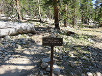
Trail to Ranger Station "Tyndall Creek Ranger Station 0.6"

Tyndall Creek
[IMG_2805.jpg] [IMG_2806+.jpg] [IMG_2808+.jpg
Tyndall Creek
[IMG_2809.jpg [IMG_2810.jpg
Tyndall Creek
[IMG_2811.jpg [IMG_2812.jpg [IMG_2814+.jpg
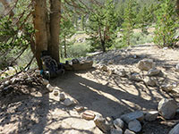
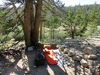
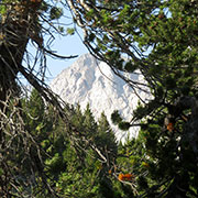
Campsite by Tyndall Creek Mt. Tyndall?

Along Tyndall Creek
[IMG_2817.jpg] [IMG_2818.jpg [IMG_2819+.jpg
Peak 4120+ Peak 4120+, Trojan Peak? and Mt. Barnard?

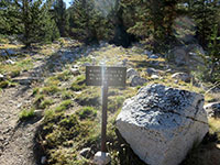
Junction - Shepherd Pass Trail [maps.google.com.jpg] [naturalatlas.com.png]
[IMG_2822.jpg] [IMG_2821+.jpg [IMG_2820+.jpg
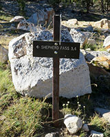
PCT/JMT and Shepherd Pass Trail "Forester Pass 5.0"
"Wallace Creek 4.4"

Along Tyndall Creek [Cont'd]
[IMG_2823+.jpg] [IMG_2824.jpg]
Tyndall Creek

Tyndall Creek [maps.google.com.jpg]
[IMG_2825.jpg [IMG_2826.jpg [IMG_2827.jpg
Tyndall Creek / Diamond Mesa
[IMG_2828.jpg [IMG_2829.jpg [IMG_2830.jpg
Tyndall Creek / Diamond Mesa
[IMG_2831.jpg [IMG_2832.jpg [IMG_2833.jpg
Peak 4120+ and Tyndall Creek

Above Tyndall Creek
[IMG_2834+.jpg
Tyndall Creek

For questions and comments, please send e-mail to webmaster@itoda.com.
Copyright © 2018-2020, Yuichi Itoda. All rights reserved.
[Japanese] [English]