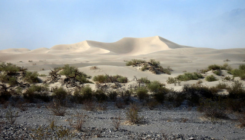
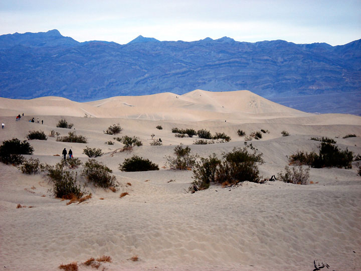
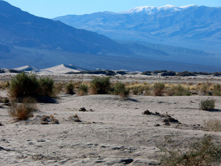
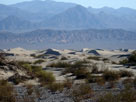
| Mesquite Flat Sand Dunes |
 |
| (メスキート・フラット・サンド・デューンズ) |
|
|
|
|
|
|
|
|
|
|
|
|
|
|
|
 |
|
 |
|
 |
|
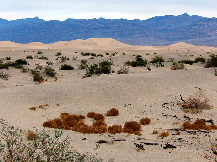
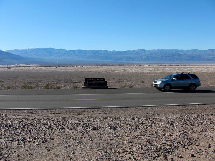
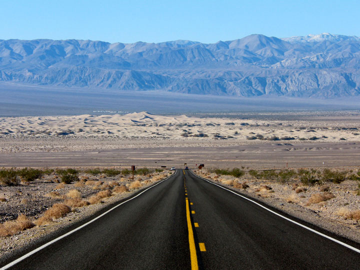
| Mesquite Flat Sand Dunes from Highway 190 |
|
|
|
|
|
|
|
|
|
|
|
|
|
|
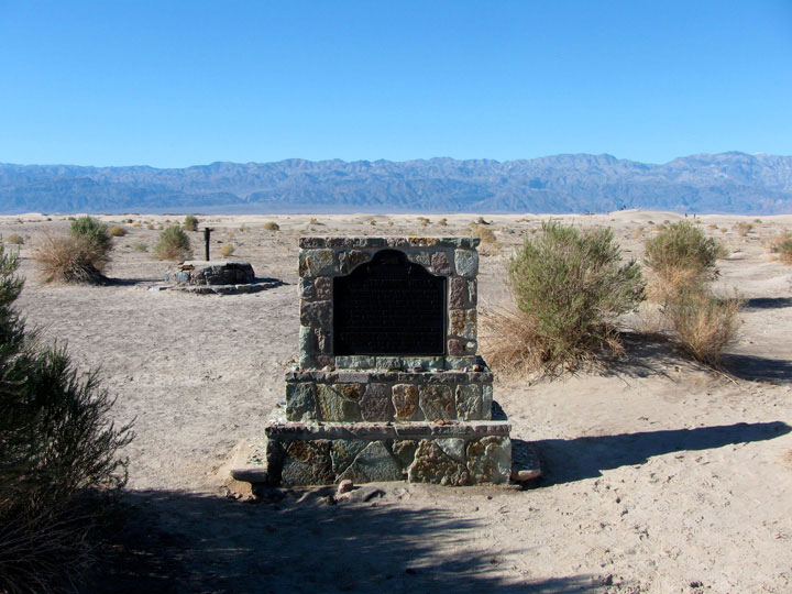
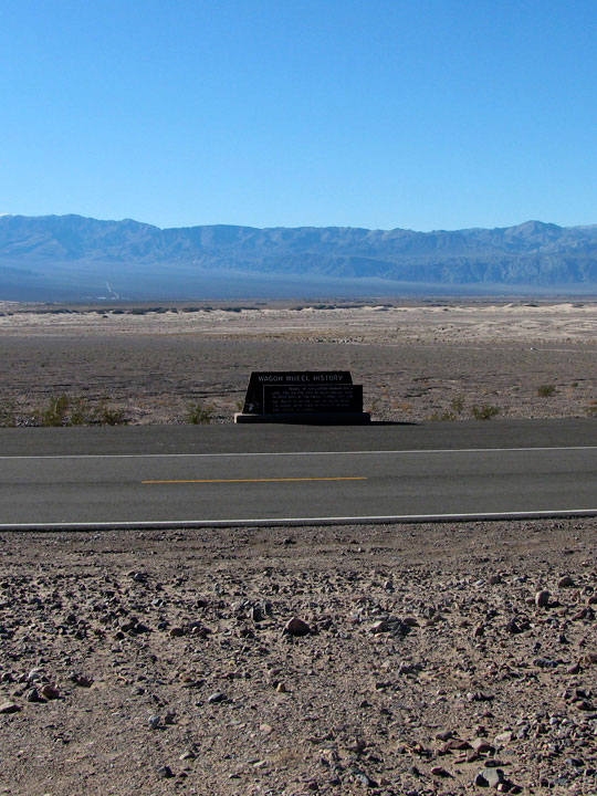
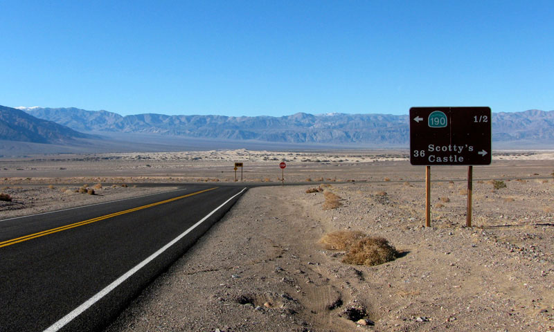
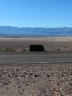
| Scottys Castle Road (Scotty's Castle Road) |
|
 |
|
|
 |
|
 |
|
|
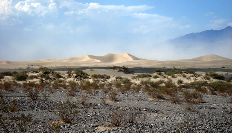
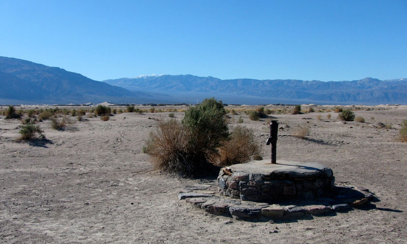
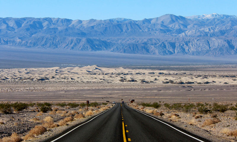
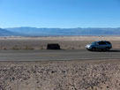
Panamint Range, Mesquite Flat Sand Dunes and
Scottys Castle Road from below Kit Fox Hills |
|
|
|
|
|
|
|
|
 |
|
 |
|
|
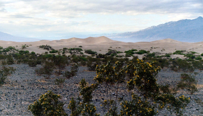
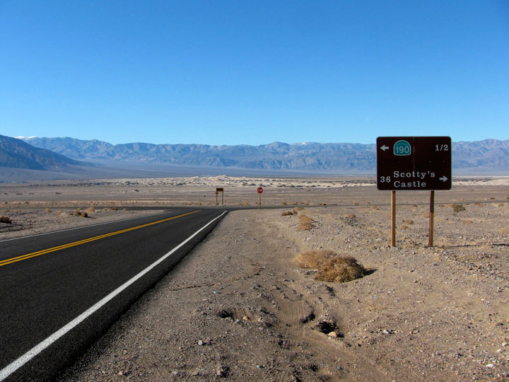
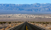
Panamint Range and
Mesquite Flat Sand Dunes
from Daylight Pass Road |
|
|
|
|
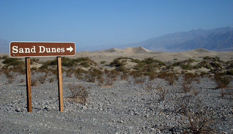
| Mesquite Flat Sand Dunes (Mesquite Flat Dunes) の写真 ON WEB |
|
|
|
|