| Panamint Valley |
 |
|
|
|
|
|
|
|
|
|
|
|
|
|
|
|
|
|
|
|
|
|
|
|
|
 |
|
 |
|
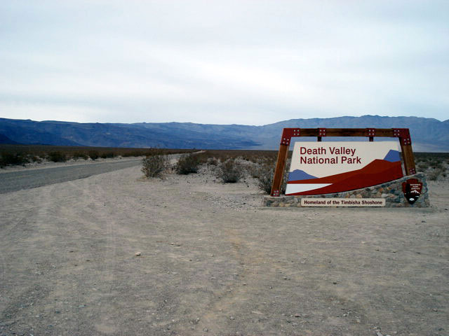
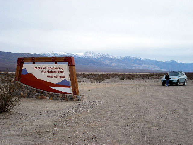
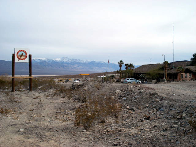
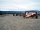
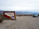
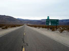
Death Valley National Park boundary
from Panamint Valley Road |
|
|
|
|
|
|
|
 |
|
 |
|
 |
|
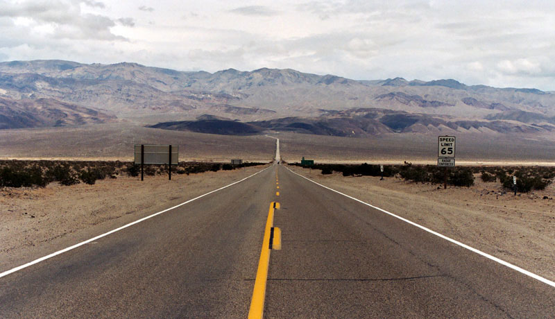
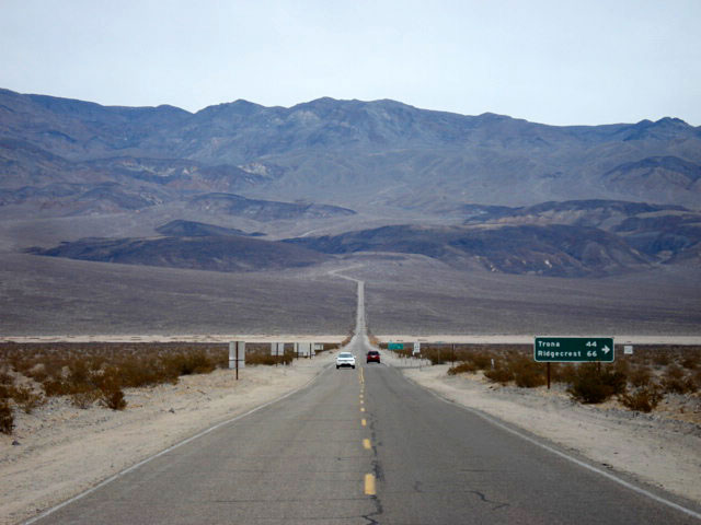
Panamint Range and Highway 190 (east)
near Panamint Valley Road junction |
|
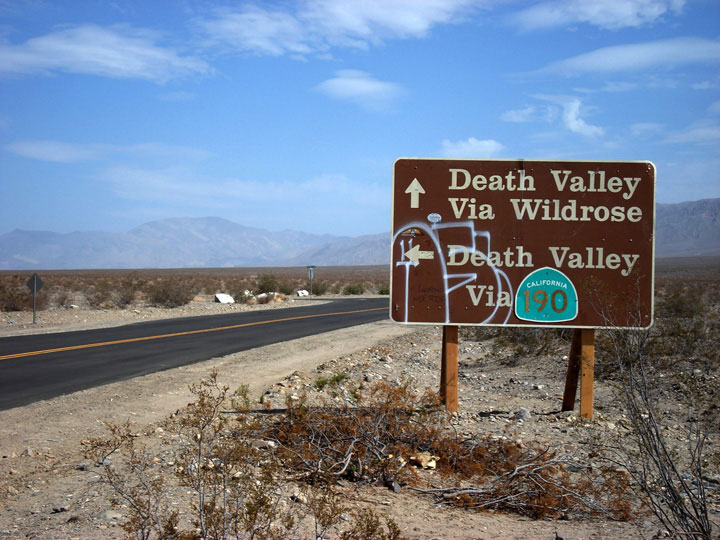
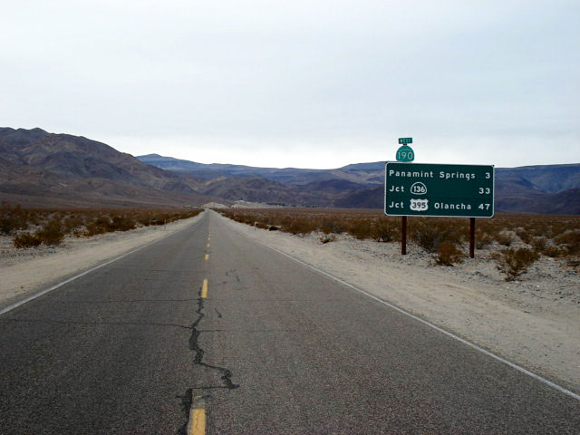
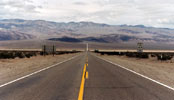
Highway 190 (west)
near Panamint Valley
Road junction |
|
|
|
|
|
|
|
|
|
|
|
|
|
|
|
|
|
|
|
|
|
|
 |
|
 |
|
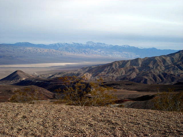
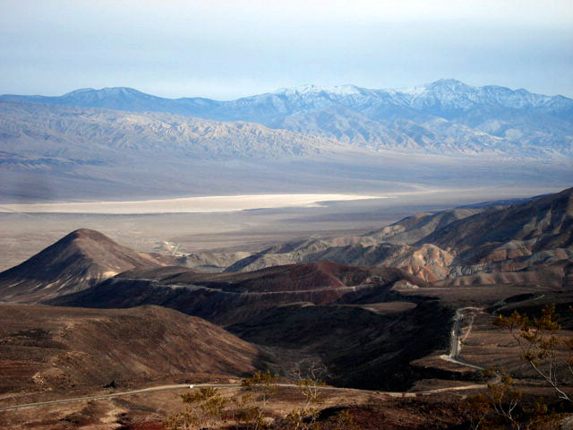
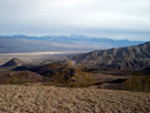
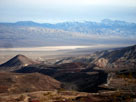
Panamint Range and Panamint Valley
from Father Crowley Vista |
|
|
 |
|
 |
|
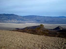
Panamint Range and Panamint Valley
from Father Crowley Vista |
|
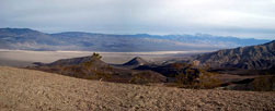
Panamint Range, Panamint
Valley and Highway 190 |
|
|
|
|
| Panamint Valley Photos on Web |
|
|
|
|