| Highways of Sierra Nevada |
 |
| Bookmark collections of resources regarding Highways and Roads running in and around Sierra Nevada Mountains (California/Nevada, USA). |
|
|
|
|
|
 |
Highways of Sierra Nevada |
|
 |
|
|
|
|
|
|
|
|
 |
|
 |
|
 |
|
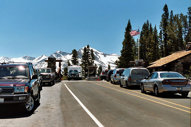
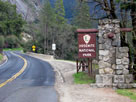
Tioga Pass Entrance,
Yosemite National Park
and Highway 120 |
|
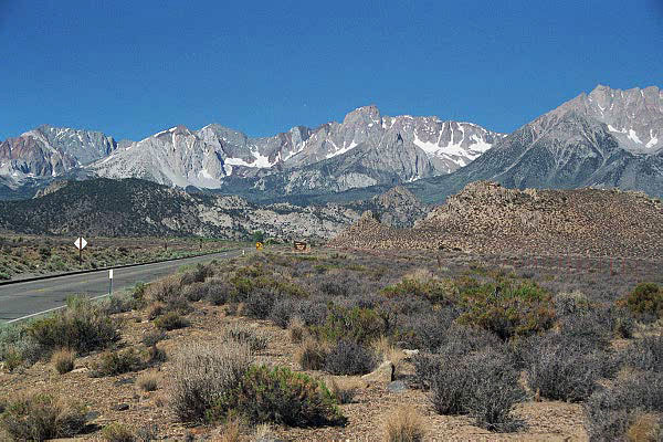
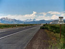
Sherwin Range from
Highway 395 (south) |
|
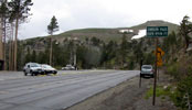
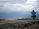
Highway 178 (east)
and Walker Pass National
Historic Landmark |
|
|
|
|
|
|
|
|
 |
|
 |
|
 |
|
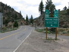
Highway 88 (east)
and Carson Pass |
|
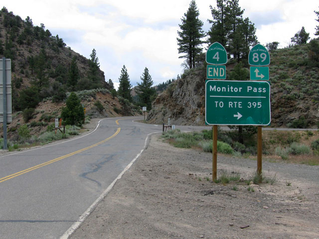
Highway 89
and Highway 4 |
|
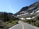
Gaylor Peak, Tioga Peak,
Tioga Pass and Tioga Road
(Highway 120) |
|
|
|
|
|
|
|
|
 |
|
 |
|
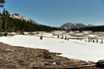
Mammoth Mountain,
Ritter Range and
Highway 395 (north) |
|
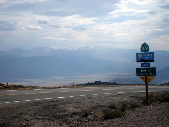
Antelope Valley and
Highway 89 (south)
from Monitor Pass |
|
|
|
|
|
|
|
|
 |
|
 |
|
 |
|
Highway 108 (east)
below Sonora Pass |
|
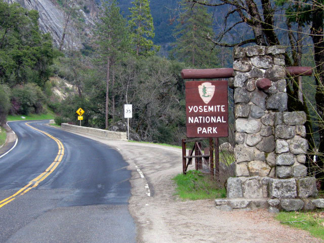
Highway 140 into
Yosemite National Park |
|
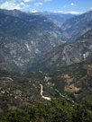
Kings Canyon
and Highway 180 |
|
|
|
|
|
|
|
|
 |
|
 |
|
 |
|
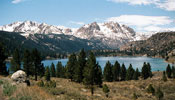
June Mountain, Carson Peak
and June Lake from Highway
158 (June Lake Loop) |
|
Mount Humphreys and
Highway 168 (west) |
|
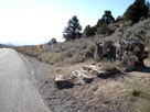
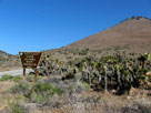
Highway 178
to Walker Pass |
|