| タイオガ・パス |
 |
| (タイオガ峠、Tioga Pass) |
 |
| Bookmark collection of resources regarding Tioga Pass, a pass/gap located on the boundary of Yosemite National Park and Inyo National Forest (Tuolumne and Mono Counties, California, USA). |
 |
| Tioga Pass is: |
 |
| - a mountain gap/pass in Sierra Nevada Mountains (The Sierra, Sierra Nevada, High Sierra), on the crest/divide (Sierra Crest, Sierra Nevada Divide), |
 |
| - a road/highway pass on Tioga Pass Road and Highway 120 (California State Route 120), |
 |
| - the highest road summit (9,945 feet, 3,031 meters) in California, |
 |
| - the east end of Tioga Road with Tioga Pass Entrance Station of Yosemite National Park, |
 |
| - the east end of Tioga Road/Big Oak Flat Road (National Scenic Byway), |
 |
| - a tralhead for Gaylor Lakes Trail and Mount Dana Trail, |
 |
| and is a scenic viewpoint/roadstop for viewing Mount Dana, Mammoth Peak and Tioga Peak. |
|
 |
| Articles (日本語) |
 |
 |
 |
| トラベル・ガイド |
|
| アドベンチャー・ガイド |
|
 |
|
| 写真 |
|
 |
|
|
| サーチ |
 |
 |
|
|
 |
| Articles/Directories |
 |
 |
 |
 |
 |
 |
 |
 |
|
| Travel Guides |
 |
 |
 |
 |
|
| Outdoor & Adventure |
|
 |
 |
|
| Maps |
 |
 |
 |
 |
 |
 |
 |
 |
 |
 |
 |
 |
 |
 |
 |
|
|
| Photo Galleries |
 |
 |
|
| Photos |
 |
 |
 |
 |
 |
 |
|
|
| Searches |
 |
 |
 |
 |
 |
 |
|
|
 |
 |
 |
 |
 |
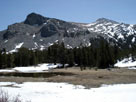
Mount Dana
from Tioga Pass |
|
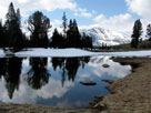
Mammoth Peak
from Tioga Pass |
|
 |
|
|
 |
|
|
 |
 |
 |
 |
 |
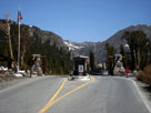
Tioga Pass Entrance
Station and Tioga Road,
Yosemite National Park |
|
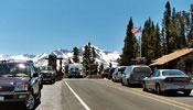
Tioga Pass Entrance
and Tioga Pass Road
(CA State Route 120) |
|
 |
|
|
 |
|
|
 |
|
|
 |
|
|
 |
 |
 |
 |
 |
 |
 |
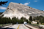
Lembert Dome and
Tuolumne Meadows Bridge
from Tioga Road |
|
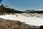
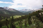
Gaylor Peak, Tioga Peak,
Tioga Pass and Tioga Road |
|
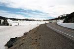
Mammoth Peak and Tioga
Pass from Tioga Pass Road
(CA State Route 120) |
|
 |
|
|
 |
|
|
 |
 |
 |
 |
 |
 |
 |
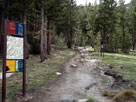
Gaylor Lakes Trailhead
at Tioga Pass |
|
Mount Gibbs, Kuna Crest
and Upper Dana Meadow
from Gaylor Lakes Trail |
|
Mount Dana
from Tioga Pass |
|
 |
|
|
 |
|
|
 |
 |
 |
 |
 |
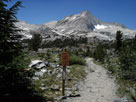
North Peak and
20 Lakes Basin Trail
into Hoover Wilderness |
|
White Mountain and southeast
peak of Mount Conness (Hall Natural
Area) from Saddlebag Lake Road |
|
 |
|
|
 |
|
|
 |
|
|
 |
 |
 |
 |
 |
 |
 |
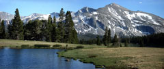
Peak 11,409 and Mt. Dana
summit from Tioga Pass |
|
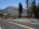
Kuna Cret and Mammoth Peak
from Tioga Pass |
|
Tioga Peak
from Tioga Pass |
|
 |
|
|
 |
|
|
 |
 |
 |
 |
 |
 |
 |
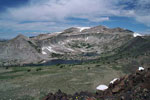
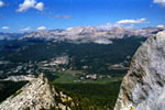
Peak 11,887 and
Granite Lakes from
Gaylor Peak summit |
|
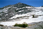
White Mountain from
above Upper Young Lake |
|
Mount Conness and
White Mountain from
Cathedral Peak summit |
|
 |
|
|
 |
|
|
 |
 |
 |
Mount Dana, Mount Gibbs and Mammoth Peak
from Lembert Dome summit |
|
 |
|
|
 |
|
|
 |
 |
 |
 |
 |
 |
 |
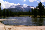
Gaylor Peak, Tioga Peak,
Tioga Pass and
Upper Dana Meadow |
|
Mount Dana
and Dana Fork |
|
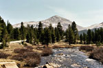
Mammoth Peak
and Tuolumne River |
|
 |
|
|
 |
|
|
 |
 |
 |
 |
 |
 |
 |
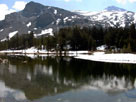
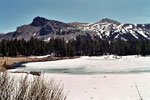
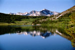
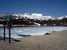
Mammoth Peak, Tioga Pass
and Tioga Lake |
|
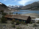
White Mountain
and Ellery Lake |
|
Saddlebag Lake and
Saddlebag Lake Resort |
|
 |
|
|
 |
|
|
 |
 |
 |
 |
 |
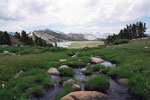
Mammoth Peak, Cathedral
Range and Middle Gaylor
Lake (Gaylor Lakes) |
|
|
 |
|
|
 |
|
|
 |
 |
 |
 |
 |
Mono Pass Trailhead
and Tioga Road |
|
|
 |
|
|
 |
|
|
 |
|
|
 |
 |
 |
 |
 |
 |
 |
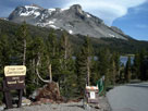
Mount Dana from Tioga
Lake Campground entrance |
|
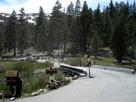
Junction Campground |
|
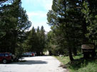
Sawmill Campground
entrance |
|
 |
|
|
 |
|
|
 |
|
|
 |
 |
 |
 |
 |
 |
 |
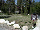
| Tuolumne Meadows Lodge |
|
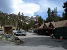
Mount Dana and
Tioga Pass Resort |
|
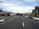
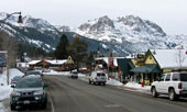
Town of Lee Vining
and Highway 395 (north) |
|
 |
|
|
 |
|
|
 |
|
|
 |
 |
 |
 |
 |
 |
 |
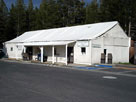
Tuolumne Meadows
Store and Grill |
|
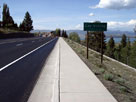
Town of Lee Vining
and Mono Lake from
Highway 395 (north) |
|
Carson Peak and
town of June Lake |
|