| Independence |
 |
|
|
 |
|
 |
| Highway 395 (U.S. Route 395) |
 |
 |
 |
 |
 |
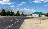
Highway 395 (north)
into Independence |
|
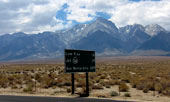
Mt. Williamson from Highway
395 near Independence |
|
 |
|
 |
|
|
 |
|
 |
|
|
 |
|
 |
|
|
 |
|
 |
| Independence Creek Campground |
 |
 |
 |
 |
 |
 |
 |
 |
 |
 |
Mt. Williamson, Mt. Keith,
Mt. Bradley, Onion Valley
Road and Independence
Creek Campground |
|
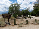
Mount Williamson from
Independence Creek
Campground |
|
 |
|
 |
| Onion Valley Road |
 |
 |
 |
 |
 |
 |
 |
 |
 |
 |
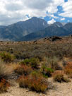
Mount Williamson
from Onion Valley
Road |
|
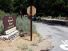
Lower Grays Meadow
Campground entrance
from Onion Valley Road |
|
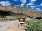
Onion Valley Road
and Upper Grays Meadow
Campground |
|
 |
|
 |
| Onion Valley |
 |
 |
 |
 |
 |
 |
 |
 |
 |
 |
 |
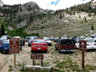
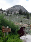
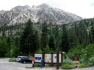
Onion Valley
(Onion Valley Roadend) |
|
Kearsarge Pass
Trailhead |
|
Independence Peak,
Robinson Lake Falls and
Onion Valley Campground |
|
 |
|
 |
|
|
 |
|
 |
|
|
 |
|
 |
| Manzanar National Historic Site |
 |
 |
 |
 |
 |
|
 |
 |
 |
 |
 |
|
 |
|
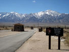
Mount Williamson and
Manzanar Nat'l Historic Site
entrance off Highway 395 |
|
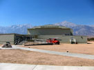
Manzanar Nat'l Historic
Site Visitor Center |
|
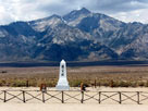
Mount Williamson
and Manzanar Cemetery |
|
|
 |
|
 |
| Independence Photos on Web |
 |
|
|
|