| Lake Sabrina, Little Lakes Valley & |
 |
| T.J.-Barrett Lakes (Day 2) |
 |
|
|
 |
|
 |
|
|
 |
|
|
 |
|
 |
|
|
 |
|
 |
|
|
 |
 |
 |
 |
 |
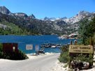
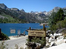
| Lake Sabrina and Sabrina Boating Site |
|
 |
|
|
 |
 |
 |
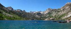
| Lake Sabrina |
|
 |
 |
 |
 |
 |
 |
 |
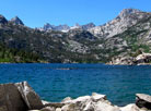
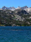
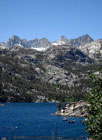
| Picture Peak, Mount Haeckel and Lake Sabrina |
|
 |
|
 |
| Highway 168 (California State Route 168) |
 |
 |
 |
 |
 |
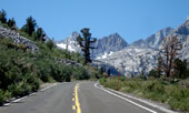
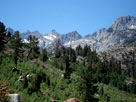
Mount Haeckel
from Highway 168 |
|
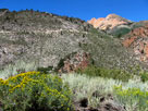
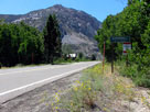
North Lake Road
from Highway 168 |
|
 |
 |
 |
 |
 |
Mt. Haeckel and Jawbone
Canyon from Highway 168 |
|
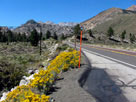
Highway 168 (west)
into Aspendell |
|
 |
 |
 |
 |
 |
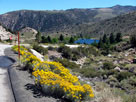
Highway 168 (west)
above Intake II |
|
Bishop Creek 104-033
Dam and Intake II
from Highway 168 |
|
 |
 |
 |
 |
 |
| Intake II (Intake No. 2) |
|
Intake 2 Picnic Site
from Highway 168 |
|
 |
|
 |
| South Lake Road |
 |
 |
 |
 |
 |
Highway 168 and Forks
Campground entrance
off South Lake Road |
|
Four Jeffrey Campground
from South Lake Road |
|
 |
 |
 |
 |
 |
 |
 |
|
South Lake Road
and Bishop Creek Lodge |
|
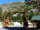
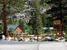
Bishop Creek Lodge |
|
 |
 |
 |
 |
 |
 |
 |
Willow Campground
entrance and South Lake Rd |
|
Parchers Resort and Rainbow Pack Station entrance
from South Lake Road |
|
 |
 |
 |
 |
 |
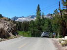
South Lake Road
below Weir Lake |
|
|
 |
|
 |
|
|
 |
|
 |
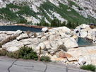
| South Lake |
 |
 |
 |
 |
 |
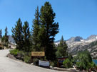
South Lake,
Hillside 104-030 Dam
and South Lake Road |
|
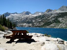
South Lake Road
and South Lake |
|
 |
 |
 |
 |
 |
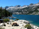
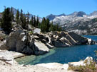
Mount Gilbert and South Lake
from South Lake Picnic Site |
|
 |
 |
 |
 |
 |
 |
 |
Mount Gilbert and
South Lake from
Hillside 104-030 Dam |
|
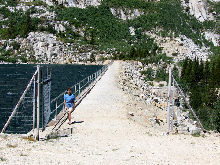
Hillside 104-030 Dam |
|
Bishop Creek Canyon from
Hillside 104-030 Dam |
|
 |
 |
 |
 |
 |
 |
 |
|
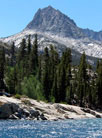
Hurd Peak, Mount
Johnson, Mount Gilbert
and South Lake from
Hillside 104-030 Dam |
|
Hurd Peak
from Hillside
104-030 Dam |
|
 |
|
 |
| South Lake [Cont'd] |
 |
 |
 |
 |
 |
 |
 |
| South Lake from Hillside 104-030 Dam |
|
 |
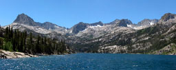 |
 |
 |
 |
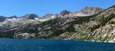
| South Lake from Hillside 104-030 Dam |
|
 |
 |
 |
Hurd Peak, Mount Johnson, Mount Gilbert and South Lake
from Hillside 104-030 Dam |
|
 |
 |
 |
 |
 |
 |
 |
| South Lake from Hillside 104-030 Dam |
|
 |
 |
 |
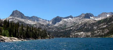
Hurd Peak, Mount Johnson, Mount Gilbert and South Lake
from Hillside 104-030 Dam |
|
 |
 |
 |
 |
 |
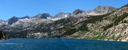
| South Lake from Hillside 104-030 Dam |
|
 |
 |
 |
 |
 |
South Lake Road from
Hillside 104-030 Dam |
|
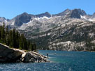
Mount Gilbert and
South Lake from
Hillside 104-030 Dam |
|
 |
|
 |
|
|
 |
 |
 |
 |
 |
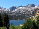
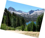
Mt. Gilbert and South Lake
from Bishop Pass Trailhead |
|
Hurd Peak and South Lake
from Bishop Pass Trailhead |
|
 |
|
 |
|
|
 |
 |
 |
 |
 |
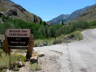
Table Mountain Group
Campground entrance
and South Lake Road |
|
Mountain Glen
Campground entrance |
|
 |
 |
 |
 |
 |
 |
 |
 |
 |
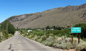
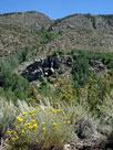
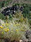
South Lake Road into South
Fork Bishop Creek (village) |
|
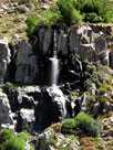
?? Falls from South Lake Road |
|
 |
|
 |
| Highway 168 (California State Route 168) |
 |
 |
 |
 |
 |
 |
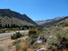
Bishop Creek
pipeline (penstock)
from Highway 168 |
|
Bitterbrush Campground
entrance and
Highway 168 (west) |
|
|
 |
 |
 |
 |
 |
 |
 |
|
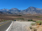
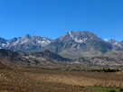
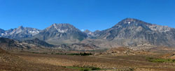
Mount Humphreys, Basin Mountain and Mount Tom
from Highway 168 |
|
 |
 |
 |
 |
 |
|
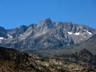
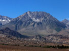
Mount Humphreys, Basin Mountain
and Mount Tom from Highway 168 |
|
 |
 |
 |
 |
 |
 |
 |
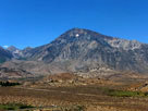
Mount Humphreys
from Highway 168 |
|
Basin Mountain |
|
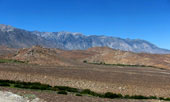
Wheeler Ridge
from Highway 168 |
|
 |
|
 |
| Highway 168 [Cont'd] |
 |
 |
 |
 |
 |
 |
 |
 |
 |
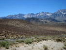
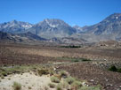
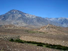
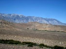
Checkered Demon, Mount Humphreys, Basin Mountain, Mount Tom
and Wheeler Ridge from Highway 168 |
|
 |
 |
 |
Checkered Demon, Mount Humphreys, Basin Mountain, Mount Tom
and Wheeler Ridge from Highway 168 |
|
 |
 |
 |
 |
 |
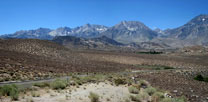
Checkered Demon, Mount Humphreys, Basin Mountain, Mount Tom
and Wheeler Ridge from Highway 168 |
|
 |
 |
 |
 |
 |
 |
|
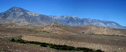
Checkered Demon, Mount Humphreys, Basin Mountain, Mount Tom
and Wheeler Ridge from Highway 168 |
|
 |
 |
 |
 |
|
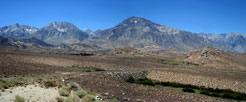
Mount Humphreys, Basin Mountain
and Mount Tom from Highway 168 |
|
 |
|
 |
| Bishop |
 |
 |
 |
 |
 |
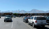
Checkered Demon, Mount
Humphreys, Basin Mountain
and Mount Tom from Bishop |
|
|
 |
|
 |
| Highway 395 (U.S. Route 395) |
 |
 |
 |
 |
 |
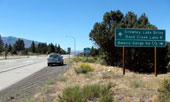
Highway 395 (north) near
Rock Creek Road junction |
|
|
 |
 |
 |
 |
 |
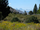
Mount Ritter and Banner
Peak from Owens Gorge
Road near Highway 395 |
|
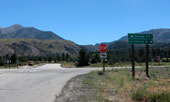
Rock Creek Road and Highway
395 from Owens Gorge Road |
|
 |
|
 |
| Rock Creek Road |
 |
 |
 |
 |
 |
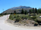
Rock Creek Road from
Crowley Lake Drive |
|
Rock Creek Road and
Crowley Lake Drive |
|
 |
 |
 |
 |
 |
 |
 |
Rock Creek Road into
Rock Creek Recreation Area |
|
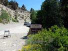
French Camp
Campground entrance
from Rock Creek Road |
|
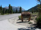
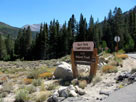
Aspen Group
Campground entrance |
|
 |
 |
 |
 |
 |
 |
 |
Iris Meadow Campground
entrance and Rock
Creek Road |
|
Palisade Campground
entrance |
|
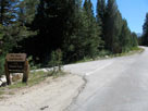
East Fork Campground
entrance |
|
 |
 |
 |
 |
 |
 |
 |
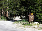
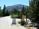
Pine Grove Campground and Rock Creek Lodge
entrance from Rock Creek Road |
|
Rock Creek Lakes
Resort entrance |
|
 |
|
 |
|
|
 |
 |
 |
 |
 |
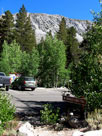
Tamarack Lakes
Trailhead in Rock
Creek Lake
Campground |
|
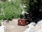
Rock Creek Lake
Campground, Site #9 |
|
 |
|
 |
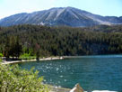
| Rock Creek Lake |
 |
 |
 |
 |
 |
Rock Creek Lake (Rock
Creek Lake Picnic Site) |
|
Bear Creek Spire, Pip-
squeak Spire, Mt. Dade, Mt.
Abbot and Rock Creek Lake |
|
 |
|
 |
| Rock Creek Road |
 |
 |
 |
 |
 |
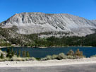
Wheeler Crest and
Rock Creek Lake from
Rock Creek Road |
|
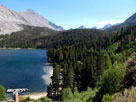
Rock Creek Lake and
Rock Creek Boating Site |
|
 |
 |
 |
 |
 |
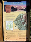
Hilton Creek Trailhead
from Rock Creek Road |
|
|
 |
 |
 |
 |
 |
Rock Creek Pack Station entrance
from Rock Creek Road |
|
 |
|
 |
|
|
 |
|
 |
|
|
 |
 |
 |
 |
 |
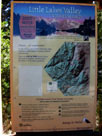
| Little Lakes Valley Trailhead |
|
|
 |
 |
 |
 |
 |
Mosquito Flat
Backpacker Campground |
|
Mack Lake Trail (use trail)
through Mosquito Flat
Backpacker Campground |
|
 |
|
 |
|
|
 |
 |
 |
 |
 |
 |
 |
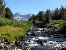
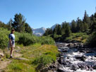
Use trail along
Rock Creek |
|
Bear Creek Spire,
Pip-squeak Spire, Mount
Dade and Rock Creek |
|
|
 |
 |
 |
 |
 |
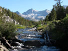
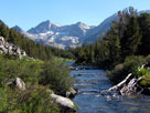
Pyramid Peak, Bear Creek Spire, Pip-squeak Spire,
Mount Dade and Rock Creek |
|
 |
|
 |
| Mack Lake |
 |
 |
 |
 |
 |
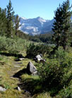
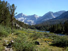
Pip-squeak Spire,
Mack Lake and
Rock Creek |
|
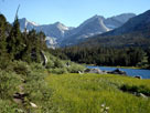
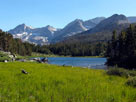
Bear Creek Spire, Pip-
squeak Spire, Mt. Dade,
Mt. Abbot, Treasure
Peak and Mack Lake |
|
 |
 |
 |
 |
 |
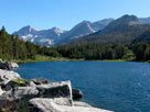
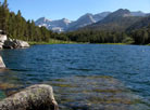
Bear Creek Spire, Pip-squeak Spire, Mount Dade,
Mount Abbot, Treasure Peak and Mack Lake |
|
 |
 |
 |
 |
 |
Bear Creek Spire, Pip-squeak Spire, Mount Dade,
Mount Abbot, Treasure Peak and Mack Lake |
|
 |
|
 |
|
|
 |
 |
 |
 |
 |
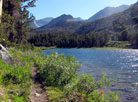
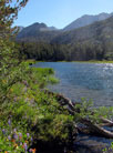
Mount Abbot, Peak 11902, Ruby Peak(?)
and Mack Lake |
|
 |
|
 |
| Rock Creek above Mack Lake |
 |
 |
 |
 |
 |
Mount Dade, Mount
Abbot, Treasure Peak
and Peak 11902 from
above Mack Lake |
|
Mack Lake
and Rock Creek |
|
 |
|
 |
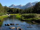
| Rock Creek below Marsh Lake |
 |
 |
 |
 |
 |
 |
 |
Rosy Finch Peak, Pyramid
Peak, Bear Creek Spire,
Pip-squeak Spire
and Rock Creek |
|
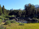
Bear Creek Spire
and Rock Creek |
|
 |
 |
 |
 |
 |
 |
 |
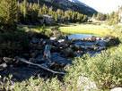
Bear Creek Spire,
Pip-squeak Spire, Mount
Abbot and Rock Creek |
|
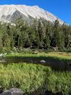
Wheeler Crest
and Rock Creek
below Marsh Lake |
|
 |
|
 |
| Marsh Lake |
 |
 |
 |
 |
 |
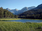
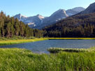
Bear Creek Spire, Pip-squeak Spire, Mount Dade,
Mount Abbot, Treasure Peak and Marsh Lake |
|
 |
 |
 |
 |
 |
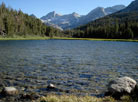
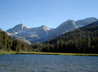
Bear Creek Spire, Pip-squeak Spire, Mount Dade,
Mount Abbot, Treasure Peak and Marsh Lake |
|
 |
 |
 |
 |
 |
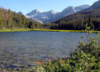
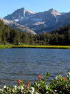
Bear Creek Spire, Pip-squeak Spire
and Marsh Lake |
|
 |
 |
 |
 |
 |
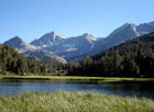
Pyramid Peak, Bear Creek
Spire, Pip-squeak Spire
and Marsh Lake |
|
Peak 11902, Ruby
Peak(?) and Marsh Lake |
|
 |
|
 |
| Marsh Lake [Cont'd] |
 |
 |
 |
 |
 |
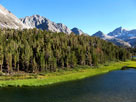
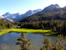
Little Lakes Peak, Pyramid Peak, Bear Creek Spire,
Pip-squeak Spire, Heart Lake and Marsh Lake |
|
 |
 |
 |
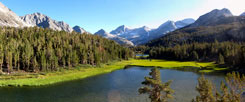
Little Lakes Peak, Rosy Finch Peak, Pyramid
Peak, Bear Creek Spire, Pip-squeak Spire,
Mt. Dade, Mt. Abbot, Treasure Peak,
Peak 11902, Heart Lake and Marsh Lake |
|
 |
 |
 |
 |
 |
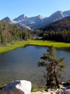
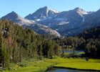
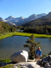
Pyramid Peak, Bear Creek Spire, Pip-squeak Spire,
Heart Lake and Marsh Lake |
|
 |
 |
 |
 |
 |
|
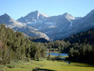
Bear Creek Spire,
Pip-squeak Spire
and Heart Lake |
|
 |
|
 |
| Rock Creek above Marsh Lake |
 |
 |
 |
 |
 |
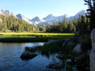
Bear Creek Spire
and Rock Creek
above Marsh Lake |
|
|
 |
|
 |
| Heart Lake |
 |
 |
 |
 |
 |
 |
 |
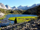
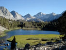
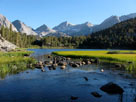
Rosy Finch Peak, Pyramid Peak, Bear Creek Spire,
Pip-squeak Spire, Mount Dade and Heart Lake |
|
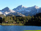
Pyramid Peak, Bear Creek
Spire, Pip-squeak Spire
and Heart Lake |
|
 |
 |
 |
 |
 |
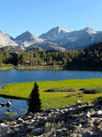
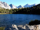
Pyramid Peak, Bear Creek Spire, Pip-squeak
Spire and Heart Lake |
|
 |
 |
 |
 |
 |
Rosy Finch Peak, Pyramid
Peak, Bear Creek Spire,
Pip-squeak Spire
and Heart Lake |
|
|
 |
|
 |
|
|
 |
 |
 |
 |
 |
|
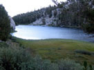
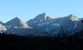
Mack Lake from
Little Lakes Valley Trail |
|
 |
 |
 |
 |
 |
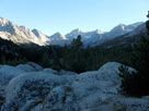
Pyramid Peak, Bear Creek
Spire and Pip-squeak Spire
from Little Lakes Valley Trail |
|
|
 |
 |
 |
 |
 |
 |
 |
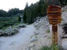
Little Lakes Valley Trail
(Morgan Pass Trail)
and Mono Pass Trail |
|
Little Lakes Valley Trail out
from John Muir Wilderness |
|
 |
|
 |
| Mosquito Flat |
 |
 |
 |
 |
 |
 |
 |
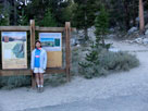
Little Lakes Valley
Trailhead at Mosquito Flat |
|
Mosquito Flat Backpacker Campground
and Rock Creek |
|
 |
|
 |
| Rock Creek Road |
 |
 |
 |
 |
 |
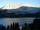
Wheeler Crest and
Rock Creek Lake
from Rock Creek Road |
|
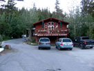
Rock Creek Lakes Resort
off Rock Creek Road |
|
 |
|
 |
|
|
 |
|
 |
| Day 3 - Lake Barrett & T.J. Lake |
 |
 |
 |
 |
 |
 |
 |
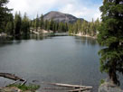
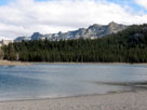
Mammoth Mountain
and Lake Barrett |
|
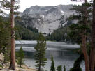
Mammoth Crest
and T.J. Lake |
|
Mammoth Crest
and Horseshoe Lake |
|