| Lake Sabrina, Little Lakes Valley & |
 |
| T.J.-Barrett Lakes (Day 3) |
 |
|
|
 |
|
 |
|
|
 |
|
 |
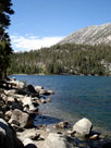
| Rock Creek Lake |
 |
 |
 |
 |
 |
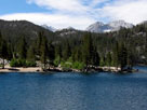
| Rock Creek Lake |
|
Bear Creek Spire, Pip-
squeak Spire, Mt. Dade, Mt.
Abbot and Rock Creek Lake |
|
 |
|
 |
| Rock Creek Road |
 |
 |
 |
 |
 |
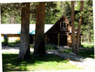
Rock Creek Lodge
off Rock Creek Road |
|
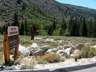
East Fork Campground
entrance from Rock
Creek Road |
|
 |
|
 |
| Toms Place |
 |
 |
 |
 |
 |
 |
 |
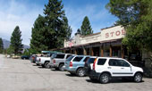
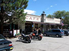
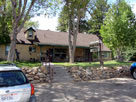
Tom's Place and
Crowley Lake Drive |
|
Toms Place Lodge |
|
 |
|
 |
| Crowley Lake Drive |
 |
 |
 |
 |
 |
 |
 |
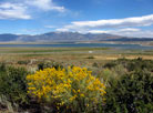
Lake Crowley from
Crowley Lake Drive |
|
Mount Baldwin from Crowley Lake Drive |
|
 |
|
 |
| McGee Creek Road |
 |
 |
 |
 |
 |
 |
 |
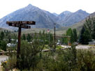
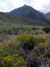
Mount Morgan, Mount
Stanford(?) and McGee
Creek Road from
Crowley Lake Drive |
|
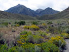
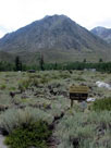
Mount Morgan and Nevahbe Ridge
from McGee Creek Road |
|
 |
 |
 |
 |
 |
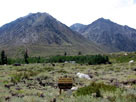
Mount Morgan, Nevahbe Ridge and McGee Creek
Campground off McGee Creek Road |
|
 |
|
 |
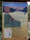
| McGee Pass Trailhead (McGee Creek Trailhead) |
 |
 |
 |
 |
 |
 |
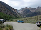
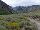
Mount Baldwin and
McGee Pass Trailhead
(McGee Creek Roadend) |
|
|
 |
 |
 |
 |
 |
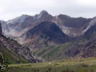
Mount Baldwin and
McGee Pass Trail |
|
Mount Baldwin |
|
 |
|
 |
| McGee Creek Road |
 |
 |
 |
 |
 |
 |
 |
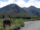
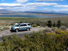
Mount Morgan and McGee
Creek Campground from
McGee Creek Road |
|
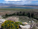
Lake Crowley from McGee Creek Road |
|
 |
|
 |
| Highway 395 (U.S. Route 395) |
 |
 |
 |
 |
 |
 |
 |
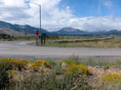
Mammoth Mountain,
Ritter Range and
Highway 395 from
Hot Creek Hatchery Road |
|
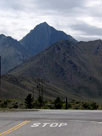
Mount Morrison
and Highway 395
from Hot Creek
Hatchery Road |
|
Mammoth Mountain
and Minarets
from Highway 395 |
|
 |
|
 |
|
|
 |
|
 |
|
|
 |
|
 |
| Lake Mary Road |
 |
 |
 |
 |
 |
Mammoth Mountain
and Lake Mary Road
from Old Mammoth Road |
|
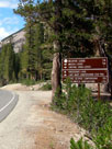
Lake Mary Loop Road
and Lake Mary Road |
|
 |
 |
 |
 |
 |
Lake Mary Loop Road
and Lake Mary Road |
|
|
 |
|
 |
| Lake Mary Loop Road (Around Lake Mary Road) |
 |
 |
 |
 |
 |
 |
 |
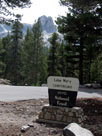
Crystal Crag & Lake
Mary Capmground
entrance |
|
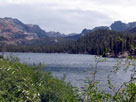
Lake Mary from
Lake Mary Loop Road |
|
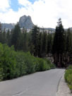
Crystal Crag and
Lake Mary Loop Rd |
|
 |
 |
 |
 |
 |
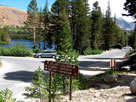
Lake Mary, Lake Mary Loop
Rd and Lake George Rd |
|
|
 |
|
 |
| Lake George Road |
 |
 |
 |
 |
 |
 |
 |
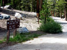
Lake George Road from
Lake Mary Loop Road |
|
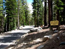
Lake George Road into
Lake George Recreation Site |
|
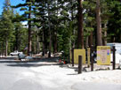
Lake George Campground
entrance (Lake George
Roadend) |
|
 |
|
 |
|
|
 |
|
 |
|
|
 |
 |
 |
 |
 |
 |
 |
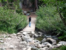
Lake George outlet
and Barrett Lake Trail |
|
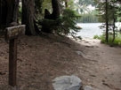
Lake George and
Barrett Lake Trail
(T.J.-Barrett Lakes Trail) |
|
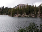
Mammoth Mountain
and Lake George from
Barrett Lake Trail |
|
 |
 |
 |
 |
 |
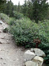
Barrett Lake Trail
(T.J.-Barrett
Lakes Trail) |
|
Mammoth Mountain
and Lake George from
Barrett Lake Trail |
|
 |
|
 |
|
|
 |
 |
 |
 |
 |
 |
 |
|
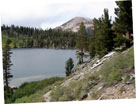
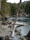
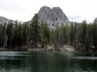
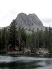
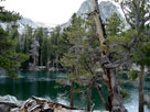
Crystal Crag and Lake Barrett
from Barrett Lake Loop Trail |
|
 |
 |
 |
 |
 |
 |
 |
|
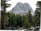
Crystal Crag
and Lake Barrett |
|
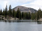
Mammoth Mountain
and Lake Barrett |
|
 |
|
 |
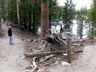
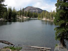
| Barrett Lake Loop Trail - South Shore of Lake Barrett |
 |
 |
 |
 |
 |
 |
 |
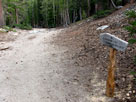
Emerald Lake Trail junction
above Lake Barrett |
|
Lake Barrett and
Barrett Lake Loop Trail |
|
Mammoth Mountain and
Lake Barrett from
Barrett Lake Loop Trail |
|
 |
|
 |
|
|
 |
|
 |
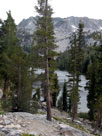
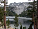
| T.J. Lake (T J Lake) |
 |
 |
 |
 |
 |
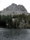
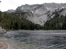
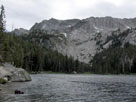
Mammoth Crest
and T.J. Lake |
|
Crystal Crag
and T.J. Lake |
|
 |
 |
 |
 |
 |
 |
 |
Crystal Crag
and T.J. Lake |
|
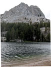
Mammoth Crest and T.J. Lake |
|
 |
 |
 |
 |
 |
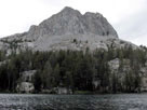
| Crystal Crag and T.J. Lake |
|
 |
 |
 |
 |
 |
 |
 |
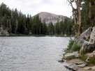
Mammoth Mountain
and T.J. Lake |
|
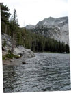
Mammoth Crest
and T.J. Lake |
|
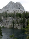
Crystal Crag
and T.J. Lake |
|
 |
|
 |
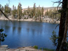
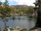
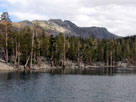
| Lake Barrett (Barrett Lake) |
 |
 |
 |
 |
 |
 |
 |
Lake Barrett from Barrett Lake Trail
(T.J.-Barrett Lakes Trail) |
|
|
 |
 |
 |
 |
 |
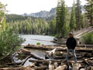
Mammoth Crest and
Lake Barrett outlet |
|
|
 |
|
 |
|
|
 |
 |
 |
 |
 |
| Lake George outlet |
|
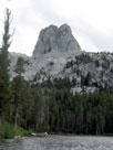
Crystal Crag and
Lake George from
Barrett Lake Trail |
|
 |
|
 |
| Lake George |
 |
 |
 |
 |
 |
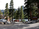
Crystal Crag, Lake
George and Lake
George Boat Landing |
|
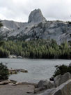
Crystal Crag
and Lake George |
|
 |
|
 |
|
|
 |
|
 |
|
|
 |
|
|
 |
|
 |
| Horseshoe Lake |
 |
 |
 |
 |
 |
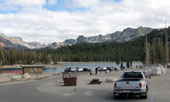
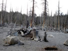
Mammoth Crest and Horseshoe
Lake from Horseshoe Lake
Picnic Site (Lake Mary Roadend) |
|
|
 |
 |
 |
 |
 |
 |
 |
|
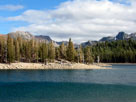
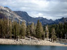
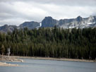
Mammoth Crest and Horseshoe Lake |
|
 |
 |
 |
 |
 |
|
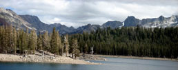
Mammoth Crest and Horseshoe Lake |
|
 |
 |
 |
 |
 |
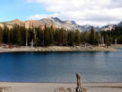
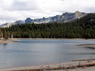
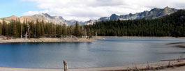
| Mammoth Crest and Horseshoe Lake |
|
 |
 |
 |
 |
 |
| Mammoth Crest and Horseshoe Lake |
|
|
 |
 |
 |
 |
 |
Mammoth Crest and
Horseshoe Lake |
|
Crystal Crag and
Horseshoe Lake |
|
 |
|
 |
| Horseshoe Lake [Cont'd] |
 |
 |
 |
 |
 |
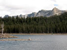
Mammoth Crest and
Horseshoe Lake |
|
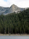
Crystal Crag and
Horseshoe Lake |
|
 |
 |
 |
 |
 |
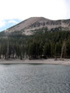 |
 |
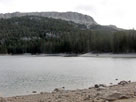
Mammoth Crest and
Horseshoe Lake |
|
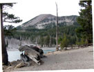
Mammoth Mountain and Horseshoe Lake |
|
 |
|
 |
|
|
 |
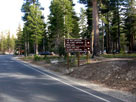 |
 |
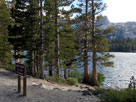 |
 |
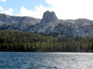 |
 |
Lake Mary Road and
Lake Mary Loop Road |
|
Crystal Crag and Lake
Mary from Lake Mary Road |
|
Crystal Crag
and Lake Mary |
|
 |
 |
 |
 |
 |
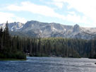
Mammoth Crest, Crystal
Crag and Twin Lakes
from Lake Mary Road |
|
|
 |
|
 |
|
|
 |
|
 |
|
|
 |
 |
 |
 |
 |
 |
 |
Lee Vining and
Highway 395 (north) |
|
Lee Vining and Highway 395 (south) |
|
 |
|
 |
|
|
 |
|
 |
|
|
 |
 |
 |
 |
 |
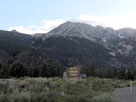
Mount Dana from
Tioga Pass Road |
|
|
 |
|
 |
| Poole Power Plant Road |
 |
 |
 |
 |
 |
 |
 |
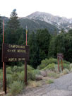
Mt. Dana from Poole
Power Plant Road |
|
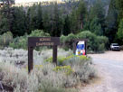
Moraine Campground
entrance |
|
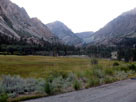
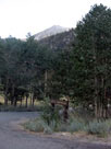
Tioga Peak,
Lee Vining Canyon and
Poole Power Plant Road |
|
 |
 |
 |
 |
 |
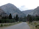
Mt. Dana and
Aspen Campground
entrace from Poole
Power Plant Road |
|
Tioga Peak and Tioga
Pass Road from Poole
Power Plant Road |
|
 |
|
 |
| Tioga Pass Road [Cont'd] |
 |
 |
 |
 |
 |
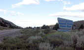
Tioga Pass Road out from
Mono Basin National Scenic Area |
|
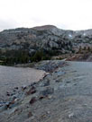
Gaylor Peak
and Tioga Lake |
|
 |
|
 |
|
|
 |
|
 |
| Tuolumne Meadows |
 |
 |
 |
 |
 |
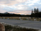
Fairview Dome, Tuolumne
Meadows and Tioga Road |
|
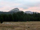
Fairview Dome from
Tuolumne Meadows |
|
 |
 |
 |
 |
 |
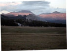
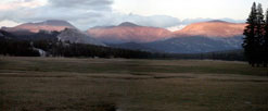
Mount Dana, Lembert Dome, Mount Gibbs,
Mammoth Peak and Tuolumne Meadows |
|
 |
 |
 |
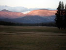
Mt. Dana, Lembert Dome, Mt. Gibbs,
Mammoth Peak and Tuolumne Meadows |
|
 |
 |
 |
 |
 |
Mt. Dana, Lembert Dome, Mt. Gibbs,
Mammoth Peak and Tuolumne Meadows |
|
 |
 |
 |
 |
 |
Mt. Dana, Lembert Dome, Mt. Gibbs,
Mammoth Peak and Tuolumne Meadows |
|
|
 |
 |
 |
 |
 |
Mammoth Peak and
Tuolumne Meadows |
|
|
 |
|
 |
|
|