Sentinel Dome, Devils Postpile &
20 Lakes Basin (Day 3) |
 |
|
|
 |
|
 |
|
|
 |
|
 |
|
|
 |
|
 |
|
|
 |
|
 |
|
|
 |
 |
 |
 |
 |
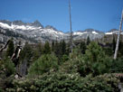
| The Buttresses from Rainbow Falls Trail |
|
 |
|
 |
|
|
 |
 |
 |
 |
 |
 |
 |
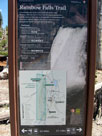
Rainbow Falls Trail
at junction with
Trail from Devils
Postpile |
|
|
 |
|
 |
|
|
 |
 |
 |
 |
 |
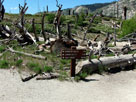
| Fish Creek Trail junction |
|
|
 |
|
 |
|
|
 |
|
 |
|
|
 |
 |
 |
 |
 |
 |
 |
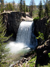
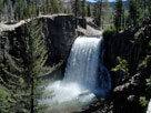
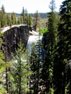
| Rainbow Falls from 2nd Viewpoint |
|
|
 |
 |
 |
 |
 |
 |
 |
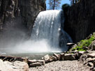
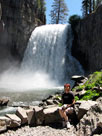
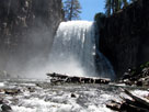
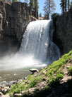
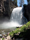
| Rainbow Falls from 3rd Viewpoint |
|
|
 |
 |
 |
 |
 |
| Rainbow Falls from above 3rd Viewpoint |
|
 |
|
 |
| Rainbow Falls [Cont'd] |
 |
 |
 |
 |
 |
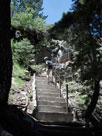
Stairs between 2nd
and 3rd Viewpoints |
|
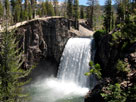
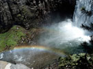
Rainbow Falls
from 2nd Viewpoint |
|
 |
 |
 |
 |
 |
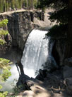
| Rainbow Falls from 1st Viewpoint |
|
 |
|
 |
| Rainbow Falls Trail (Back to Reds Meadow) |
 |
 |
 |
 |
 |
 |
 |
| Rainbow Falls |
|
Mammoth Mountain from
Rainbow Falls Trail |
|
|
 |
|
 |
|
|
 |
|
 |
|
|
 |
|
 |
|
|
 |
|
 |
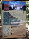
| Agnew Meadows |
 |
 |
 |
 |
 |
 |
 |
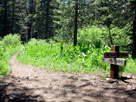
Trailhead for High Trail
(Pacific Crest Trail north)
off Agnew Meadows Rd |
|
Pacific Crest Trail (south) |
|
 |
 |
 |
 |
 |
 |
 |
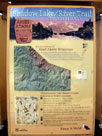
Trailhead for River Trail
(Shadow Lake Trail) off
Agnew Meadows Road |
|
Agnew Meadows
Campground (Agnew
Meadows Roadend) |
|
 |
|
 |
|
|
 |
|
 |
|
|
 |
|
 |
| Minaret Vista |
 |
 |
 |
 |
 |
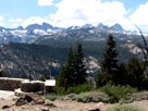
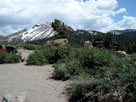
Ritter Range
from Minaret Vista |
|
Mammoth Mountain
from Minaret Vista |
|
 |
|
 |
|
|
 |
|
 |
|
|
 |
|
 |
| Highway 395 (U.S. Route 395) |
 |
 |
 |
 |
 |
Smokey Bear Flat
from Highway 395 |
|
Deadman Summit and
Highway 395 (north) |
|
 |
|
 |
|
|
 |
|
 |
|
|
 |
|
 |
|
|
 |
|
 |
|
|
 |
 |
 |
 |
 |
June Lake Campground
entrance |
|
|
 |
|
 |
|
|
 |
|
 |
| June Lake Loop [Cont'd] |
 |
 |
 |
 |
 |
Reversed Creek
Campground entrance |
|
Gull Lake Campground
entrance |
|
 |
 |
 |
 |
 |
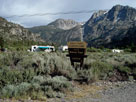
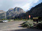
Carson Peak
and Silver Lake |
|
Silver Lake Resort |
|
 |
 |
 |
 |
 |
Silver Lake
Campground |
|
Carson Peak from
Rush Creek Trailhead |
|
 |
 |
 |
 |
 |
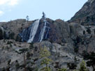
Horsetail Falls
(Rush Creek Falls)
from June Lake Loop |
|
|
 |
|
 |
|
|
 |
|
 |
|
|
 |
|
|
 |
|
 |
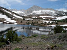
| Day 4 - 20 Lakes Basin |
 |
 |
 |
 |
 |
 |
 |
 |
 |
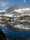
Mount Conness, North
Peak and Lake Helen |
|
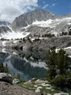
North Peak and
Shamrock Lake |
|
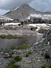
North Peak and
Steelhead Lake |
|
North Peak and
Wasco Lake |
|