Death Valley Photo Gallery
Furnace Creek
Original photo collection of sceneries in and around
Furnace Creek
, a populated place located in
Death Valley National Park
(Inyo County, California, USA)
.
Highway 190
(California State Route 190)
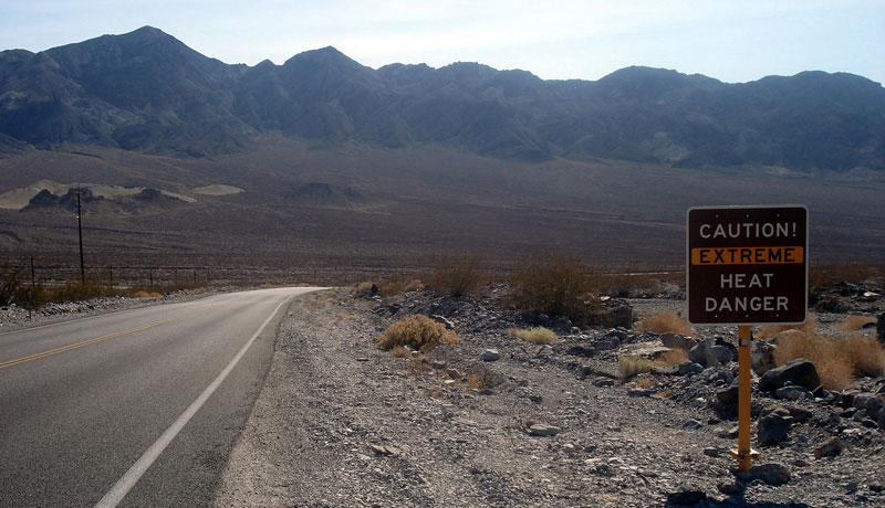
Highway 190 (west)
at Death Valley Junction
Highway 190 (west)
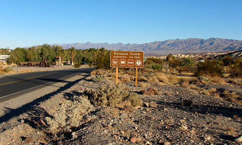
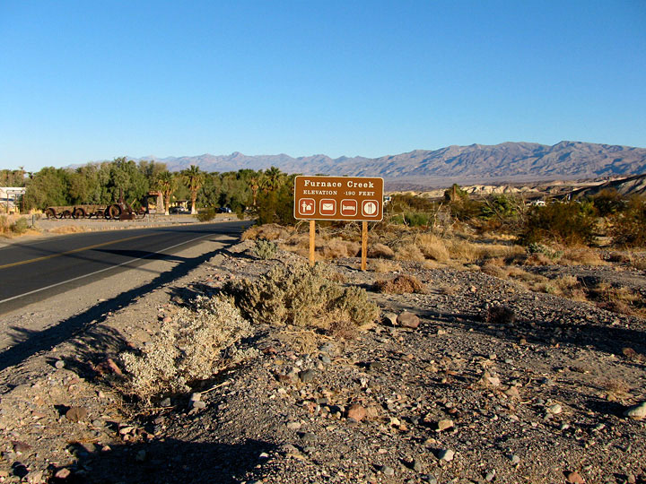
Furnace Creek
Highway 190 (west)
into Furnace Creek
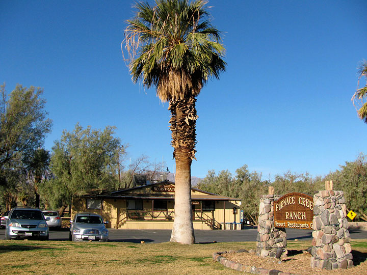
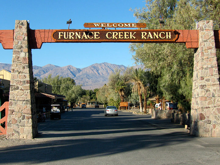
Furnace Creek Ranch
Furnace Creek Ranch
from Highway 190
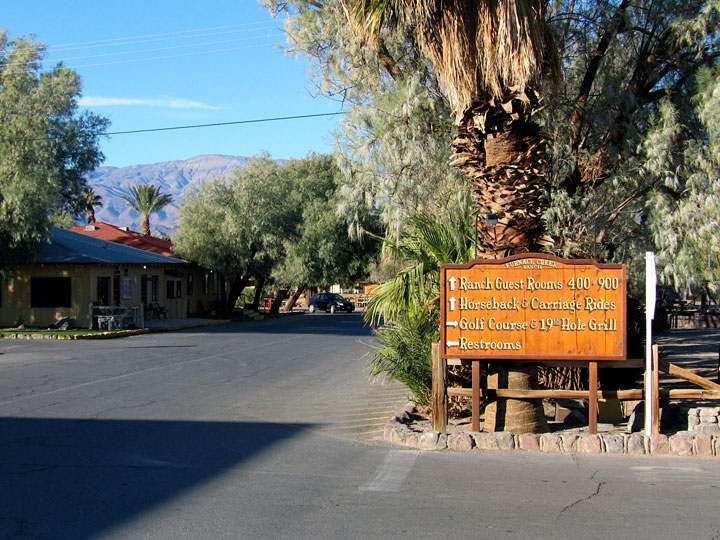
Panamint Range and Furnace Creek Ranch
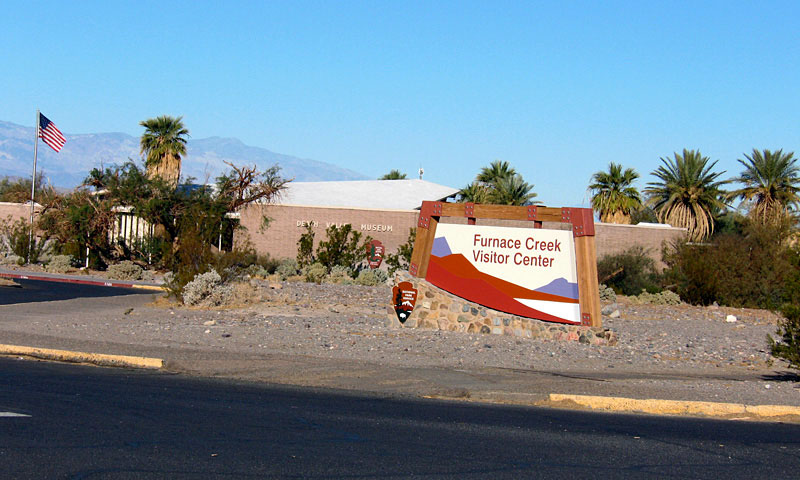
Furnace Creek Visitor Center
(
Death Valley National Park Visitor Center
)
Furnace Creek Visitor Center
Furnace Creek Campground
Forthcoming...
Furnace Creek Inn
Forthcoming...
Furnace Creek Airport
(
Death Valley Airport
)
Forthcoming...
Indian Village
Forthcoming...
Furnace Creek Wash
Forthcoming...
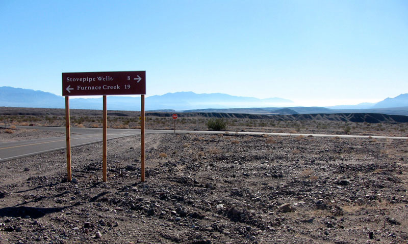
Scottys Castle Road
(Scotty's Castle Road)
Highway 190 and Scottys
Castle Road junction -
19 miles to Furnace Creek
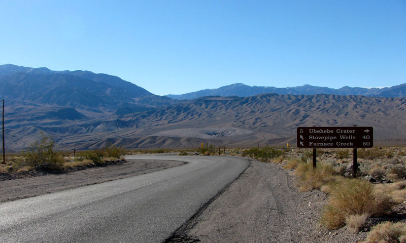
Scottys Castle Road near
Ubehebe Crater Road junction
- 50 miles to Furnace Creek
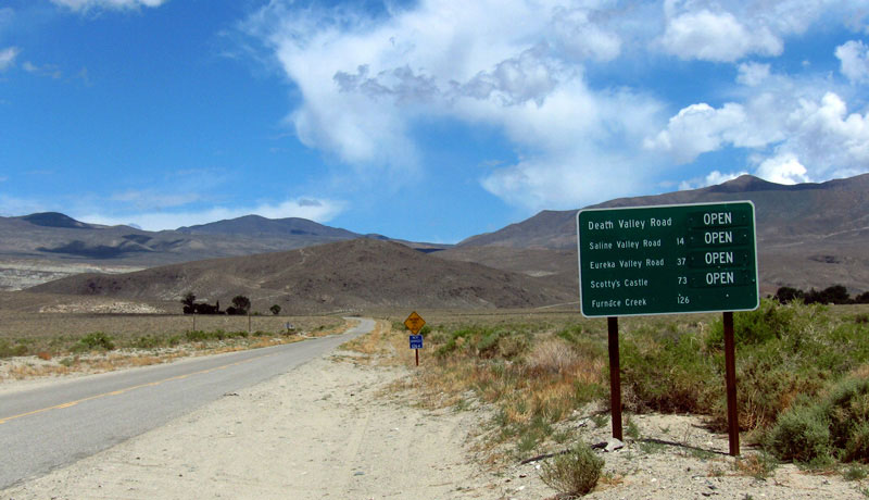
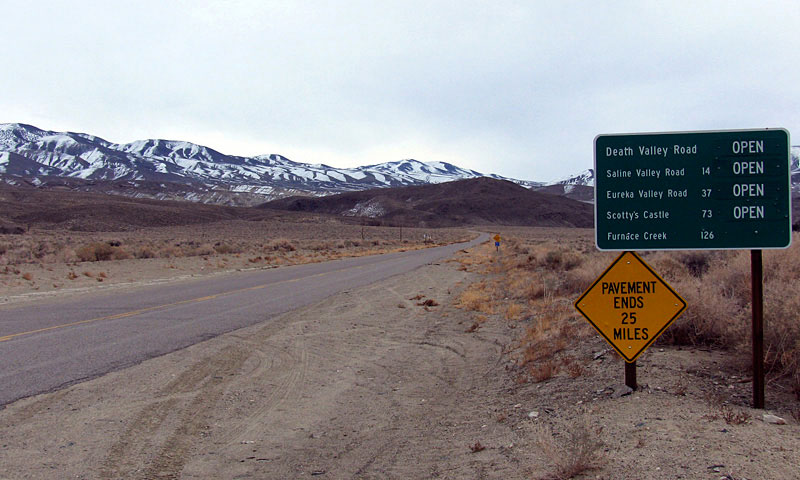
Death Valley Road
(
Big Pine Road
)
Death Valley Road (Big Pine Road) off CA 168
near Big Pine - 126 miles to Furnace Creek
Furnace Creek Photos on Web
Forthcoming...
Death Valley
Ranges
Peaks
Dunes
Passes
Summits
Springs
Streams
Falls
Lakes
Canyons
Valleys & Basins
Flats
Trails
Trailheads
Roads
Highways
Scenic Byways
Vista Points
Historic Sites
Campgrounds
Villages
Furnace Creek
Panamint Springs
Stovepipe Wells
Populated Places
Yosemite
Sequoia & Kings Canyon
Sierra Nevada Mountains
Mojave Desert
Northern Sierra
Eastern Sierra
Southern Sierra
National Parks in U.S.
National Parks in Canada
[ English |
Japanese
]
For questions and comments, please send e-mail to
webmaster@itoda.com
.
Copyright © 2001-2011, Object Factory, Inc. All rights reserved.