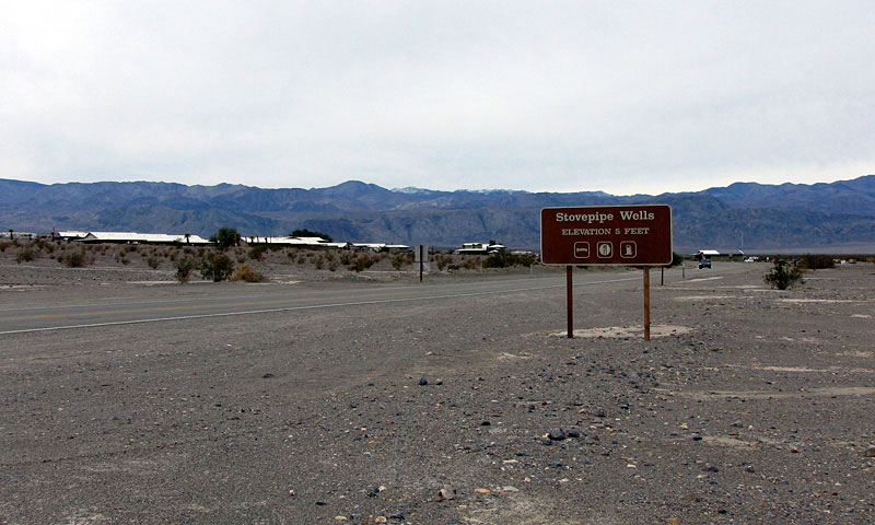
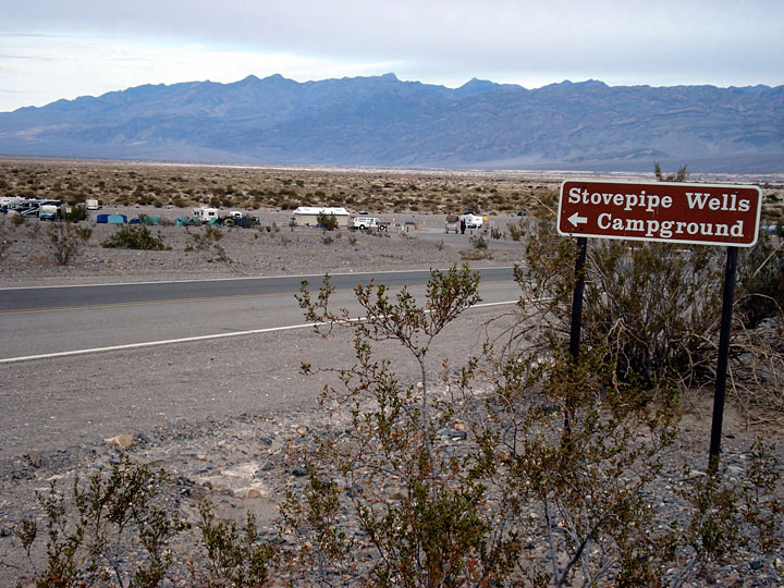
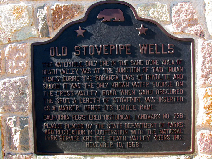
| Stovepipe Wells |
 |
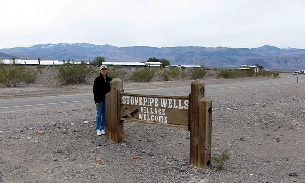
| (Stovepipe Wells Village) |
|
|
|
|
|
|
|
|
|
|
|
|
| Highway 190 (California State Route 190) |
|
 |
 |
|
|
 |
|
 |
|
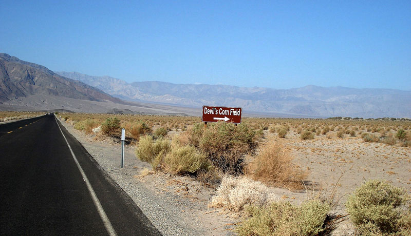
Devil's Corn Field
and Highway 190 (west) |
|
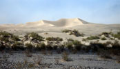
Sand Dunes from Highway 190 |
|
|
|
|
|
|
|
|
|
|
|
|
 |
|
 |
|
 |
|
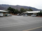
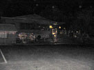
Stovepipe Wells Lodge
from CA 190 |
|
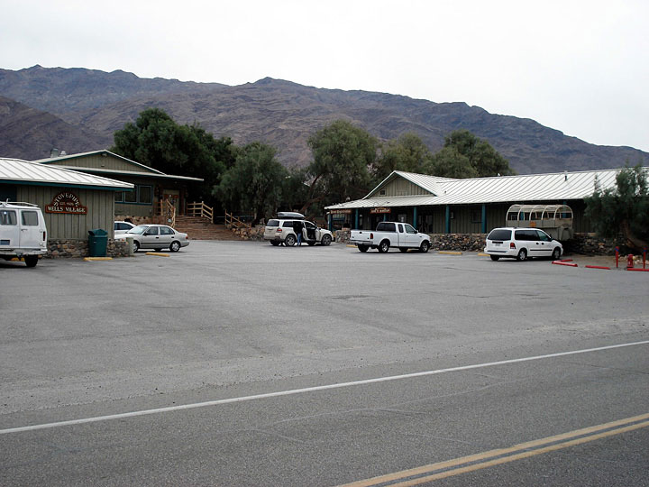
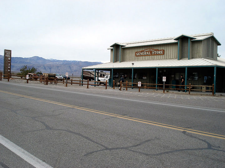
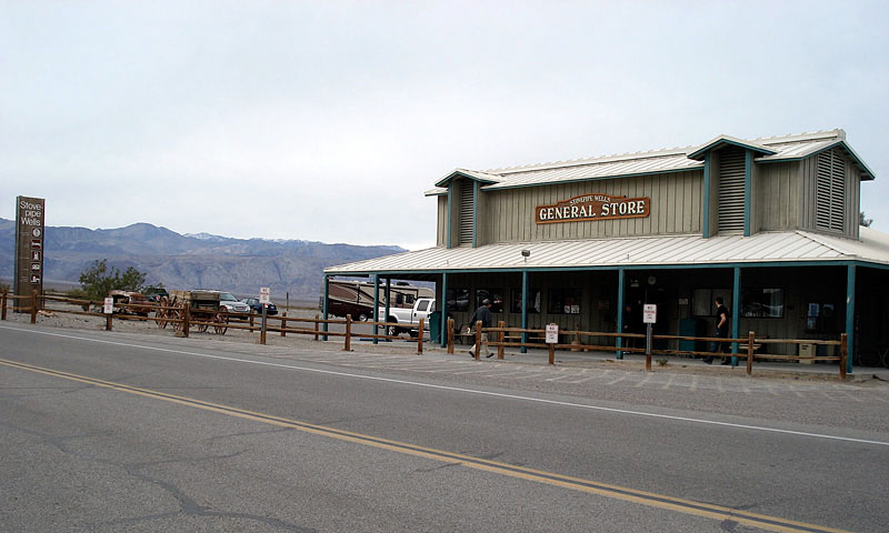
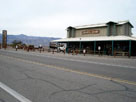
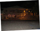
Stovepipe Wells General Store and CA 190 (west) |
|
|
 |
|
 |
|
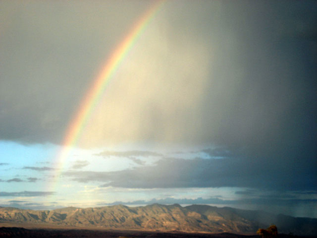
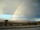
| Rainbow from Stovepipe Wells Village |
|
|
|
|
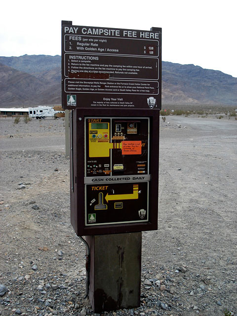
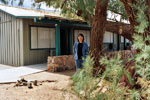
| Stovepipe Wells Village [Cont'd] |
|
 |
|
 |
|
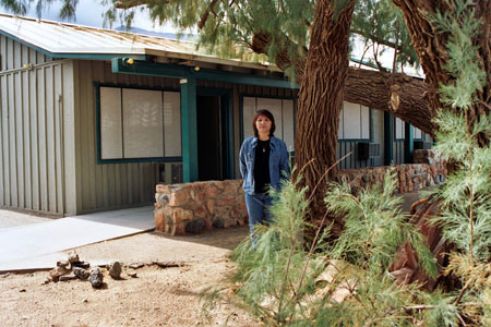
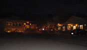
| Stovepipe Wells Lodge |
|
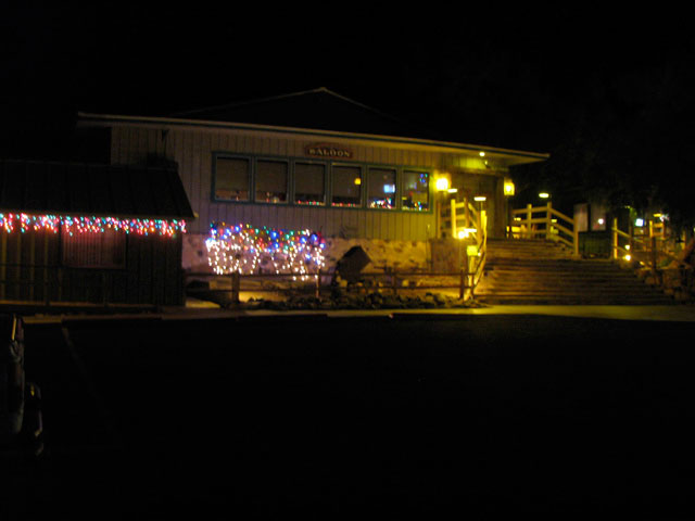
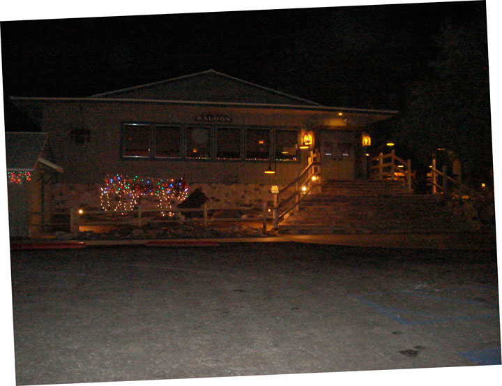
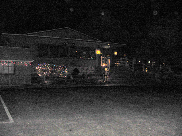
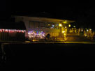
Badwater Saloon and
Stovepipe Wells Lodge |
|
|
 |
|
 |
|
 |
|
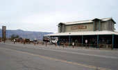
| Badwater Saloon, Stovepipe Wells Village |
|
!? |
|
|
|
|
|
|
|
|
|
|
|
|
|
|
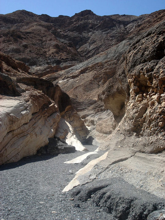
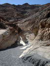
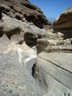
| Mosaic Canyon |
|
 |
 |
 |
 |
 |
|
|
 |
|
 |
|
 |
|
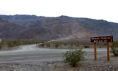
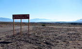
Mosaic Canyon Road and CA
190 near Stovepipe Wells |
|
Mosaic Canyon |
|
|
|
|
|
|
|
|
|
|
|
|
|
|
| Scottys Castle Road (Scotty's Castle Road) |
|
 |
|
|
 |
|
 |
|
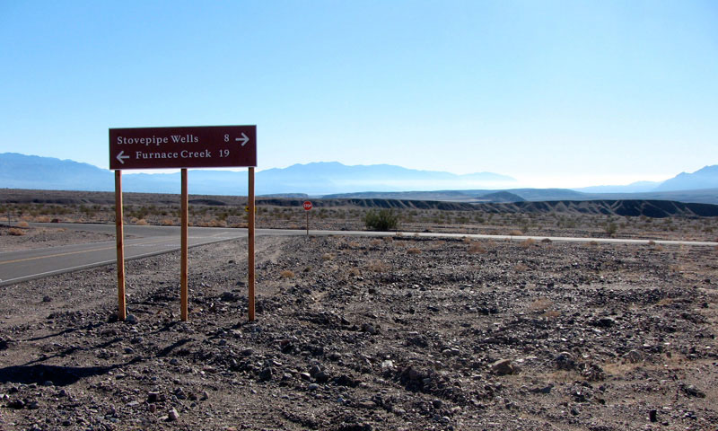
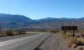
Highway 190 and Scottys
Castle Road junction - 8 miles
to Stovepipe Wells |
|
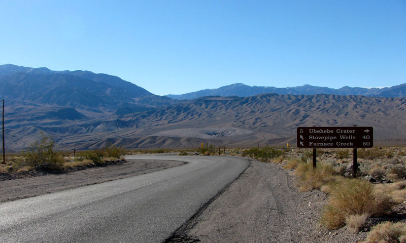
Scottys Castle Road near
Ubehebe Crater Road junction
- 40 miles to Stovepipe Wells |
|
|
|
|
| Stovepipe Wells Photos on Web |
|
|
|
|