| Minaret Summit Road |
 |
| (ミナレット・サミット・ロード) |
 |
|
|
 |
| Articles (日本語) |
|
| シーニック・ドライブ |
|
| 写真 |
 |
 |
 |
|
| サーチ |
|
|
 |
| Articles/Directories |
 |
 |
|
| Scenic Drives |
 |
|
| Outdoor & Adventure |
 |
|
| Maps |
 |
 |
|
 |
 |
|
|
| Photo Galleries |
|
 |
|
| Photos |
 |
 |
 |
 |
 |
 |
 |
 |
 |
 |
 |
|
| Searches |
 |
 |
 |
 |
 |
 |
 |
|
|
 |
|
|
 |
|
|
 |
|
|
 |
 |
 |
 |
 |
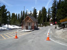
Minaret Summit (Ansel
Adams Wilderness
entrance
station) and Minaret Road |
|
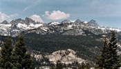
Ritter Range (Minarets, Mount
Ritter and Banner Peak) from
Minaret Vista near Minaret Summit |
|
 |
|
|
 |
|
|
 |
|
|
 |
|
|
 |
|
|
 |
 |
 |
 |
 |
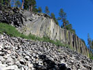
Devil's Postpile from
Devils Postpile Trail (Devils
Postpile Nat'l Monument) |
|
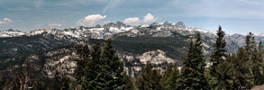
Ritter Range (Ansel Adams Wilderness)
from Minaret Vista |
|
 |
|
|
 |
|
|
 |
 |
 |
 |
 |
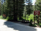
Agnew Meadows Road
junction with Minaret
Summit Road |
|
|
 |
|
|
 |
|
|
 |
 |
 |
 |
 |
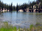
| Starkweather Lake |
|
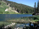
Sotcher Lake |
|
 |
|
|
 |
|
|
 |
|
|
 |
|
|
 |
|
|
 |
 |
 |
 |
 |
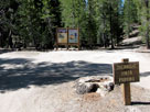
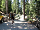
Minaret Lake Trailhead (John
Muir Trail North Trailhead) |
|
Rainbow Falls Trailhead
off Minaret Summit Road |
|
 |
|
|
 |
|
|
 |
 |
 |
 |
 |
 |
 |
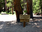
High Trail (Pacific
Crest Trail) Trailhead
at Agnew Meadows |
|
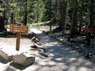
John Muir Trail signs
on Devils Postpile Trail |
|
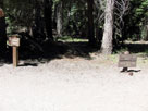
Rainbow Falls Trail
crossing Pacific Crest
Trail (John Mur Trail) |
|
 |
|
|
 |
|
|
 |
 |
 |
 |
 |
 |
 |
 |
 |
Upper Soda Springs
Campground entrance and
Minaret Summit Road |
|
Pumice Flat
Campground entrance |
|
Minaret Falls
Campground entrance |
|
Reds Meadow
Campground entrance
off Minaret Summit Road |
|