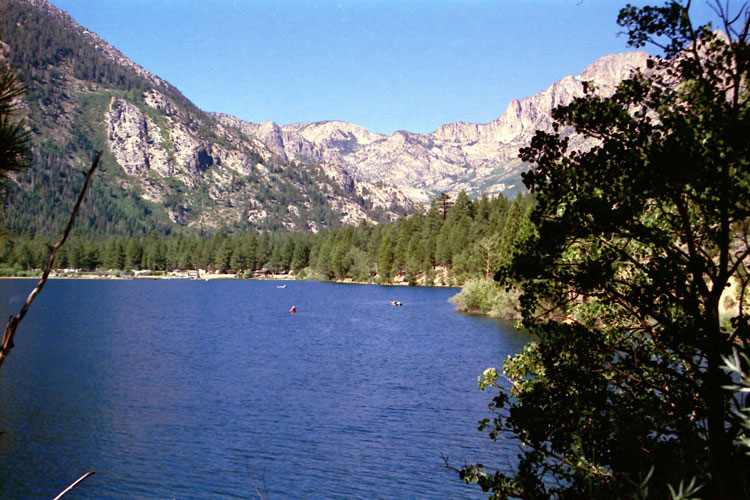
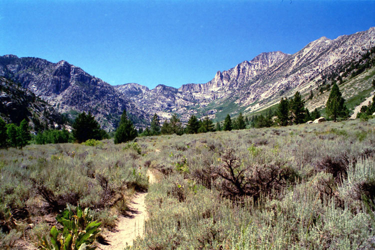
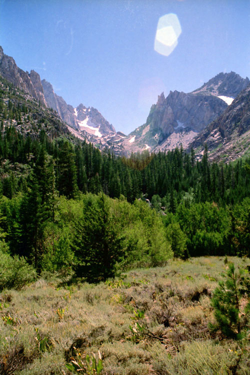
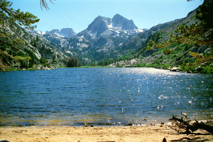
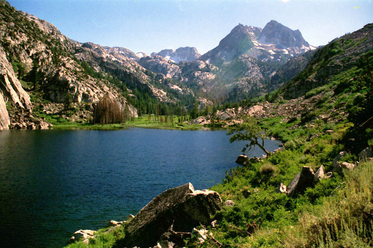
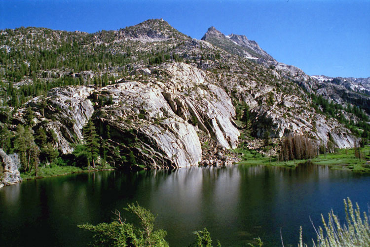
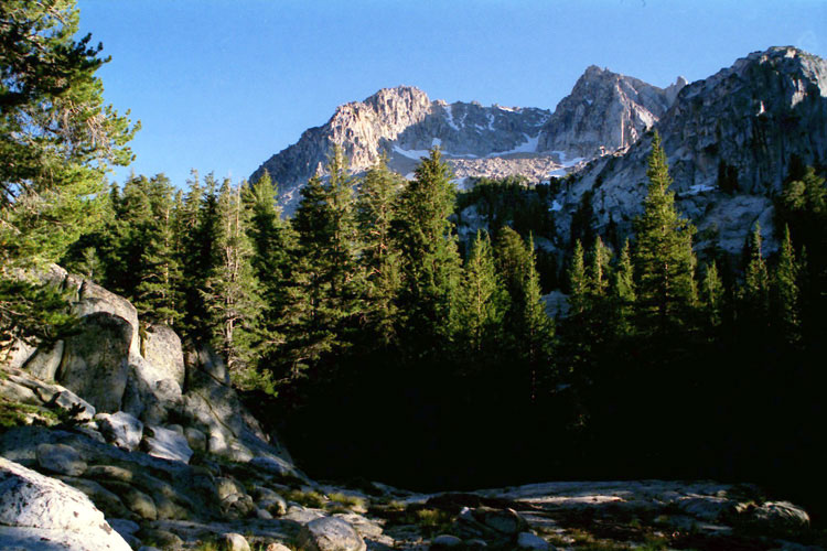
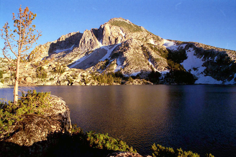
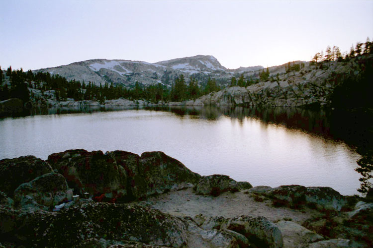
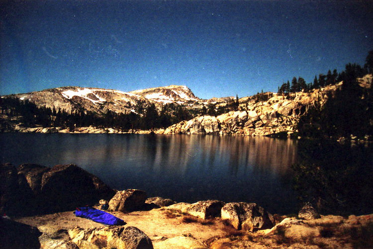
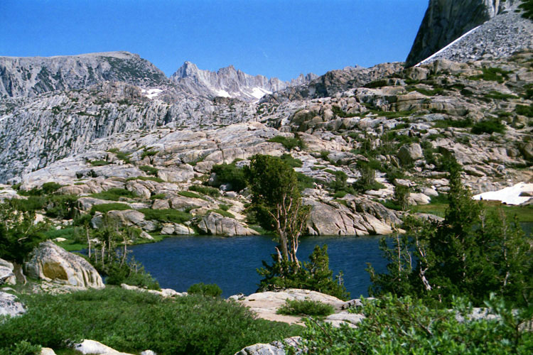
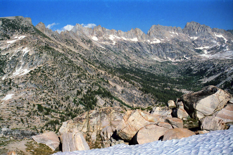
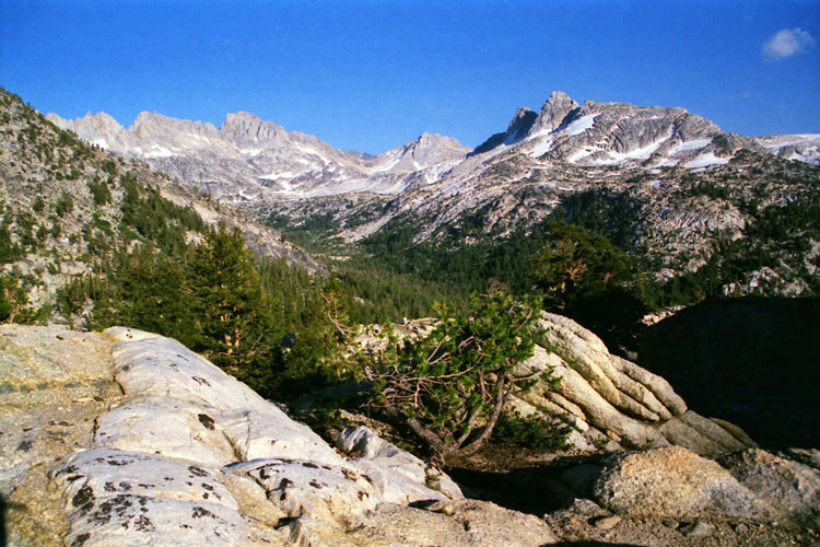
| Peeler Lake & Matterhorn Peak (Day 1) |
 |
|
|
|
|
|
|
|
|
|
|
|
|
|
|
|
| Dana Meadows |
|
 |
|
 |
|
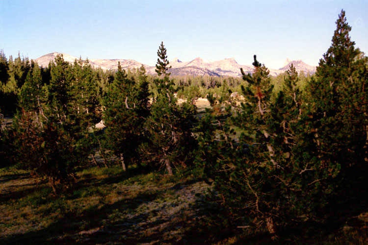
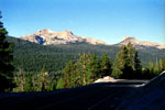
Johnson Peak, Unicorn Peak
and Cathedral Peak
from Dana Meadows |
|
Unicorn Peak and Cathedral
Peak from Tioga Road |
|
|
|
|
| Tuolumne Meadows |
|
 |
|
|
|
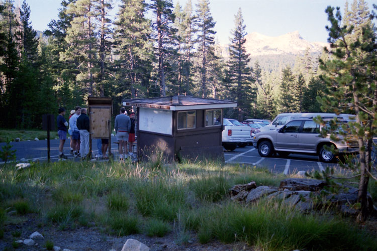
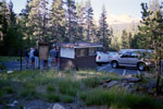
Wilderness permit kiosk,
Tuolumne Meadows
- wrong place for permit |
|
|
|
|
|
|
|
|
|
|
|
|
|
|
|
|
|
|
|
|
| Twin Lakes Road |
|
 |
|
 |
|
 |
|
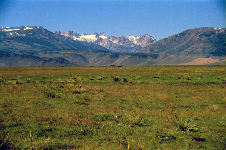
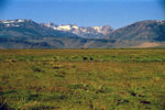
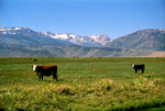
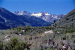
Matterhorn Peak and Sawtooth Ridge
from Twin Lakes Road |
|
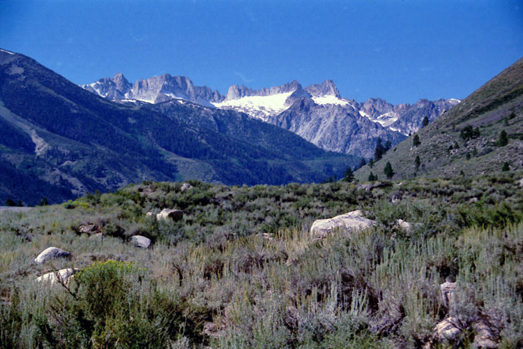
Matterhorn Peak
and Sawtooth Ridge |
|
|
|
|
| Twin Lakes |
|
 |
|
 |
|
 |
|
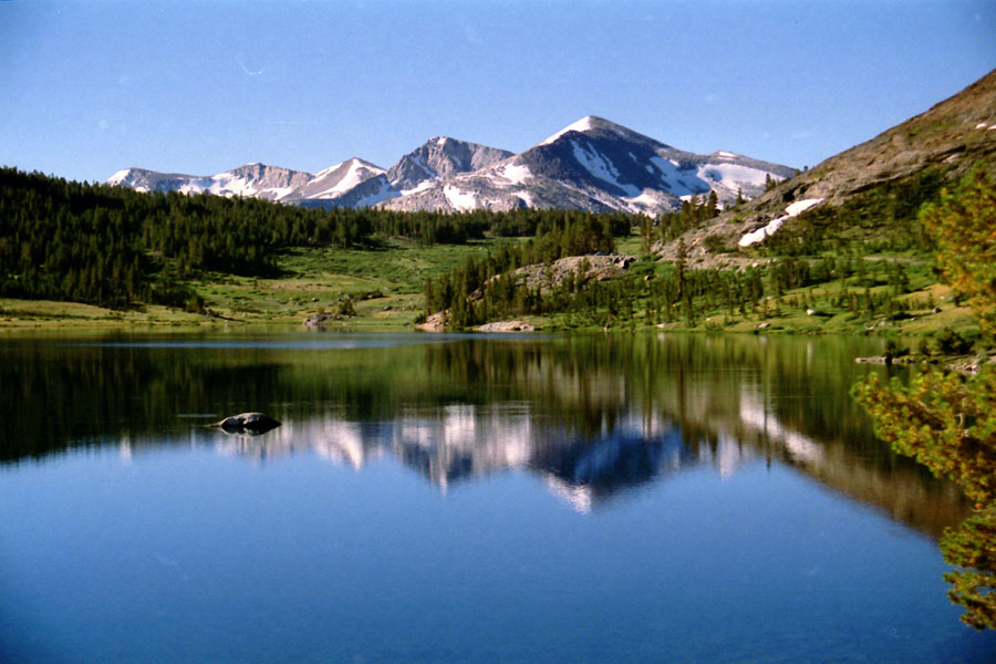
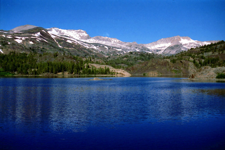
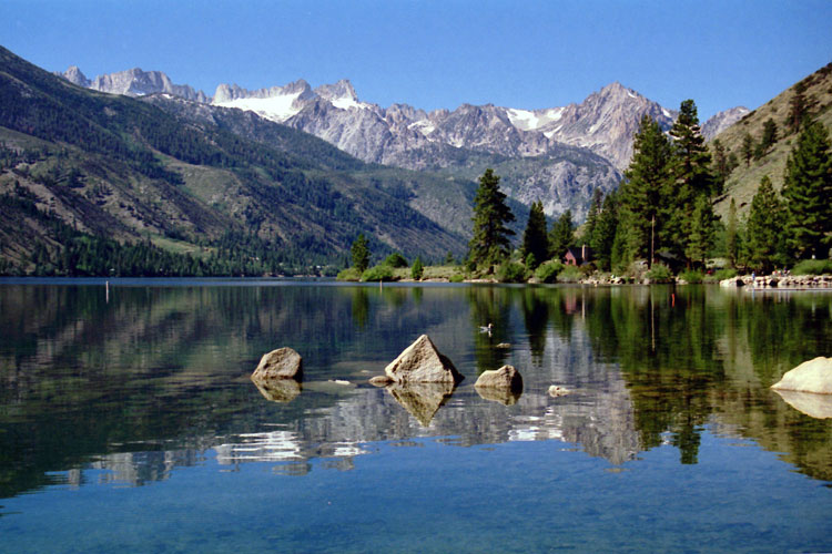
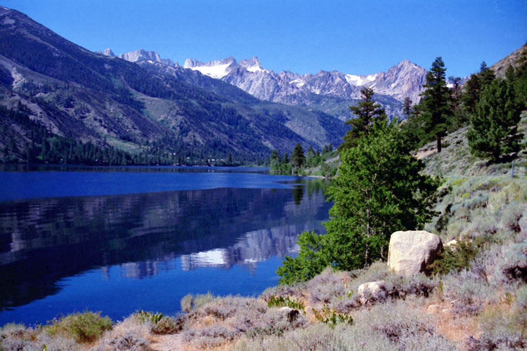
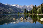
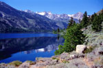
Matterhorn Peak, Sawtooth Ridge
and Lower Twin Lake |
|
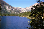
Upper Twin Lake
and Mono Village |
|
|
|
|
|
|
|
|
|
|
|
|
|
|
| Barney Lake |
|
 |
|
 |
|
 |
|
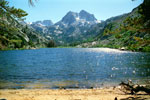
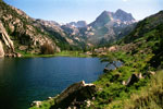
| Crown Point and Barney Lake |
|
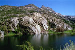
Kettle Peak and Barney Lake |
|
|
|
|
|
|
|
|
|
|
|
|
|
|
|
|
|
| Day 2 - Peeler Lake to Mule Pass to Upper Piute Creek |
|
 |
|
 |
|
 |
|
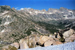
Blacksmith Peak
and Snow Lake from
Rock Island Pass Trail |
|
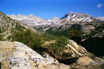
Sawtooth Ridge
and Matterhorn Peak
from Mule Pass |
|
Matterhorn Peak, Whorl
Mountain and Finger Peaks
from Burro Pass Trail |
|