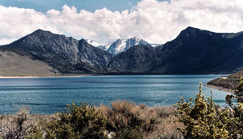
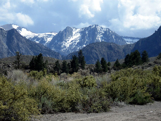
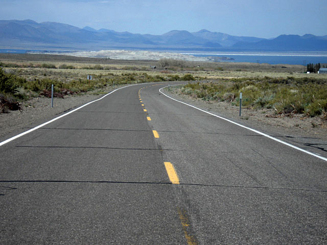
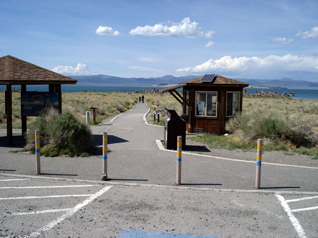
| Tioga Road & Convict Lake (Day 2 pm) |
 |
|
|
|
|
|
|
|
|
|
|
|
|
|
|
|
|
|
|
|
|
|
|
|
|
|
|
|
|
|
|
|
 |
|
 |
|
 |
|
|
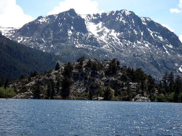
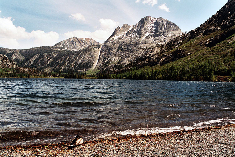
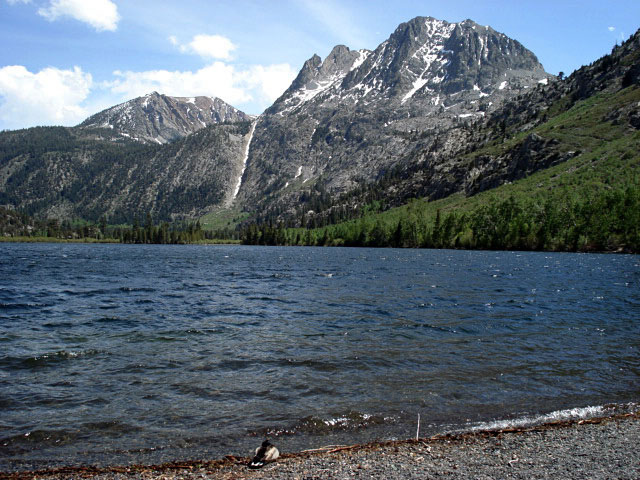
Carson Peak and Gull Lake |
|
|
|
 |
|
 |
|
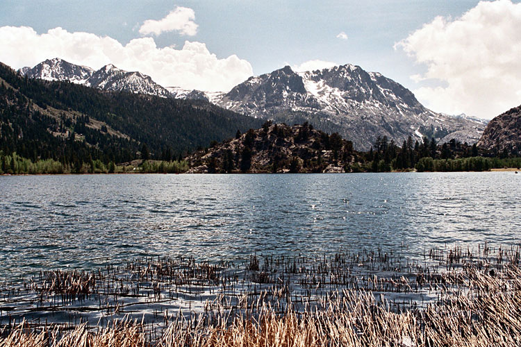
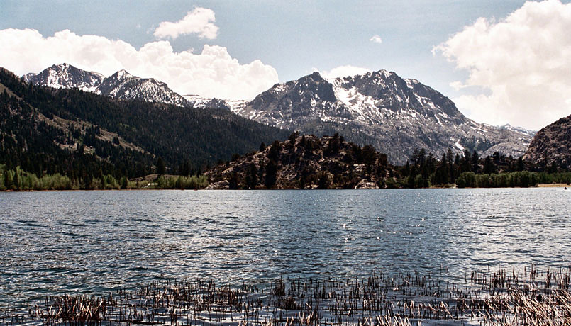
| Carson Peak and Gull Lake |
|
|
|
|
|
| June Lake Loop (Cont'd) |
|
 |
|
 |
|
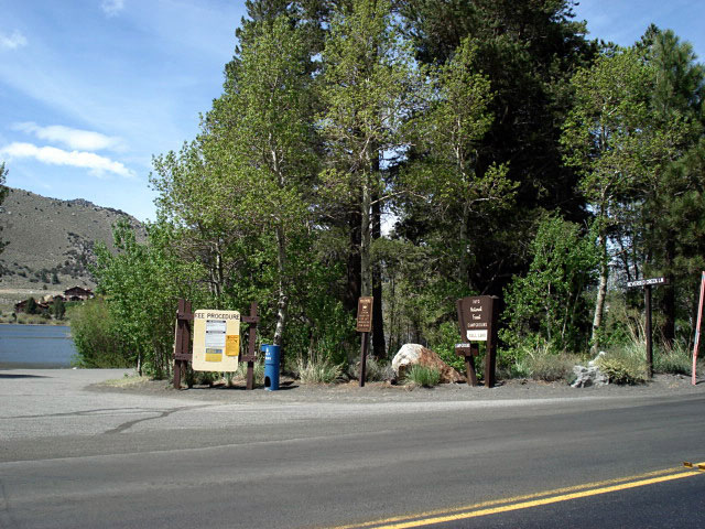
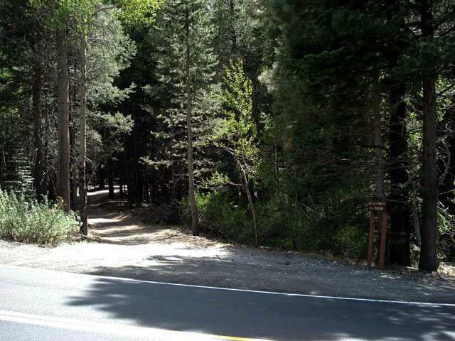
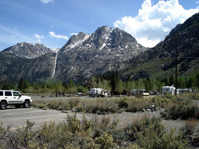
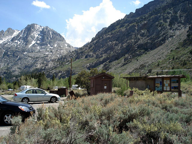
Gull Lake Campground
entrance |
|
Fern Creek/Yost Lake
Trailhead |
|
|
|
|
|
|
|
|
|
|
 |
|
 |
|
 |
|
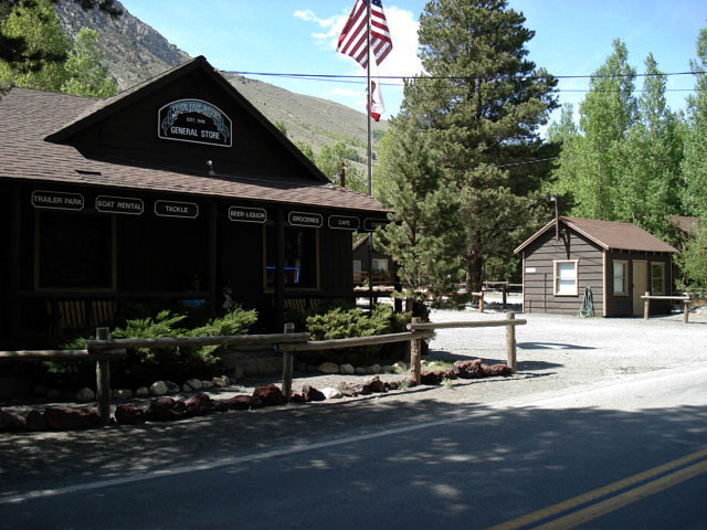
Carson Peak and
Silver Lake RV Park |
|
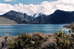
Carson Peak and
Rush Creek Trailhead |
|
|
|
|
|
|
|
|
 |
|
 |
|
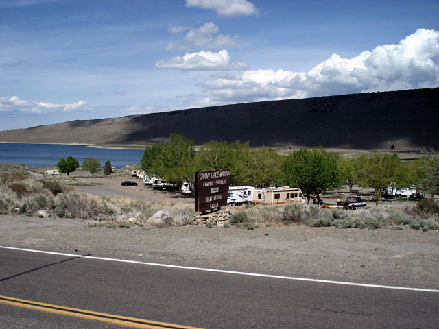
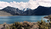
| Carson Peak and Grant Lake |
|
|
|
|
|
| June Lake Loop (Cont'd) |
|
 |
|
 |
|
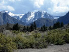
Carson Peak from
June Lake Loop |
|
Mono Lake from
June Lake Loop |
|
|
|
|
| Highway 120 (California State Route 120) East |
|
| No photos |
|
|
|
|
|
|
|
|
|
|
|
|
|
 |
|
 |
|
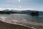
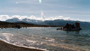
Mount Gibbs, Mount
Dana and Mono Lake |
|
|
|
|
|
|
|
|
| Highway 120 (California State Route 120) West |
|
| No photos |
|
|
|
|
| Highway 395 (U.S. Route 395) North |
|
 |
|
|
|
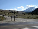
Highway 120 and Highway
395, near Lee Vining |
|
|
|
|
|
| Lee Vining |
|
 |
|
 |
|
| Highway 395 (north) |
|
Highway 395 (south) |
|
|
|
|
|
|
|
 |
|
 |
|
 |
|
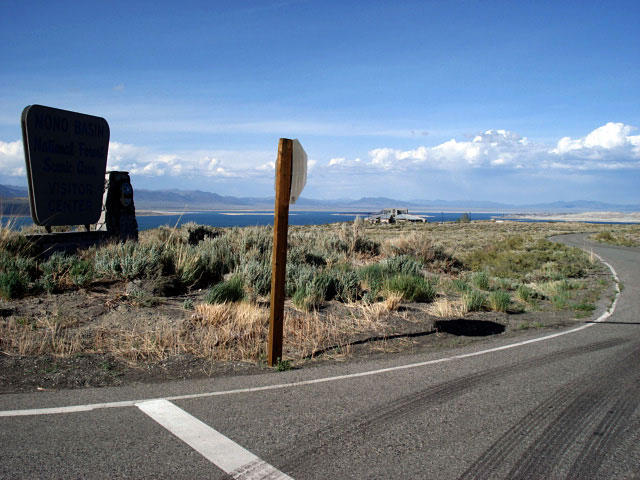
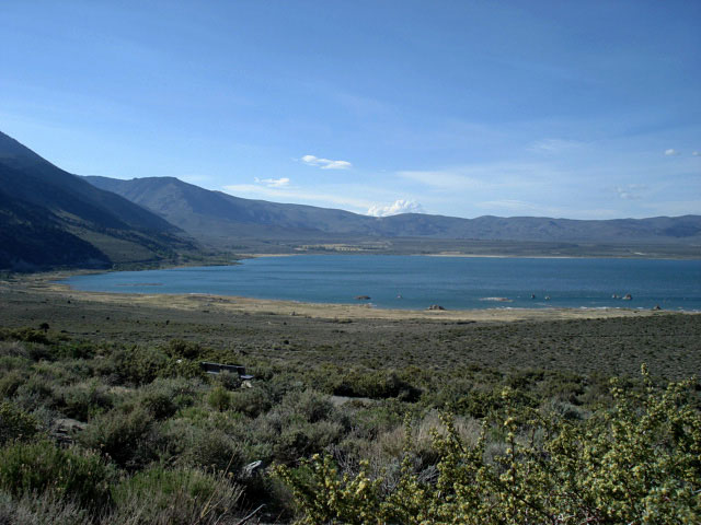
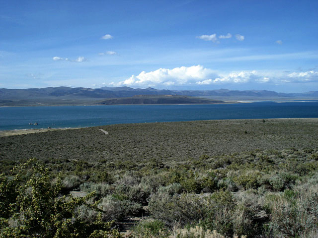
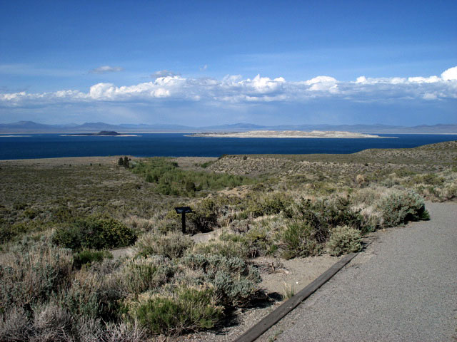
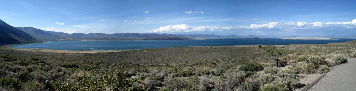
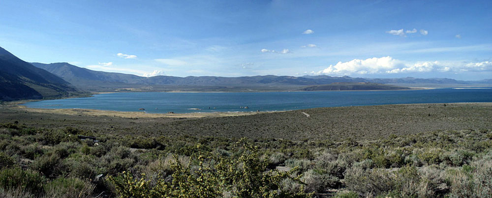
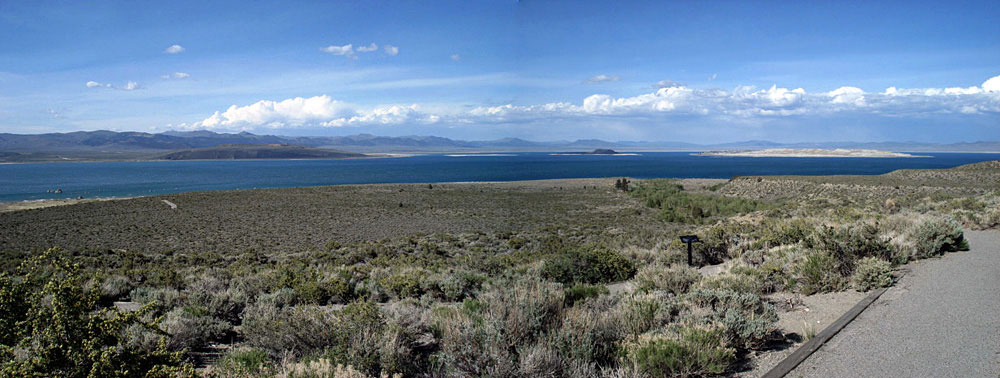
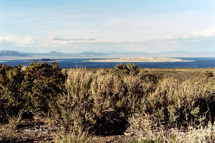
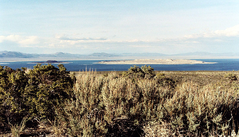
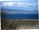
Mono Lake from Mono Basin
Scenic Area Visitor Center |
|
|
|
 |
|
 |
|
 |
|
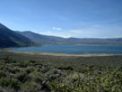
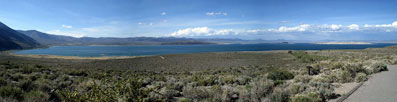
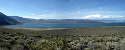
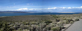
| Mono Lake from Mono Basin Scenic Area Visitor Center |
|
|
 |
|
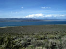
| Mono Lake from Mono Basin Scenic Area Visitor Center |
|
|
 |
|
 |
|
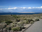
| Mono Lake from Mono Basin Scenic Area Visitor Center |
|
|
|
|
|
|
|
|
|
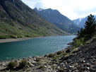
| Lundy Lake - Lundy Lake Road |
|
 |
|
 |
|
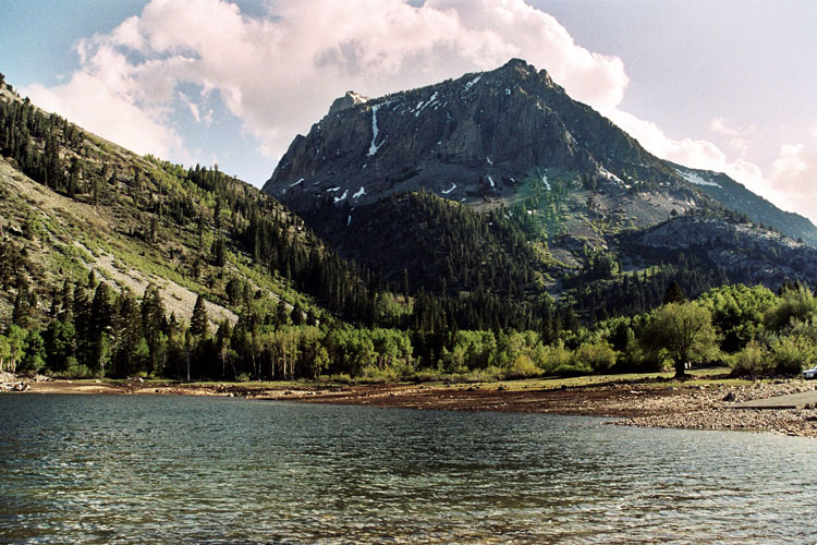
Lundy Lake from
Lundy Lake Road |
|
|
|
 |
|
 |
|
Gilcrest Peak
and Lundy Lake |
|
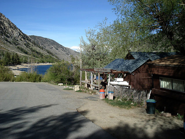
Lundy Lake Resort |
|
|
|
|
| Lundy Canyon |
|
 |
|
 |
|
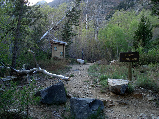
| Lundy Pass Trailhead |
|
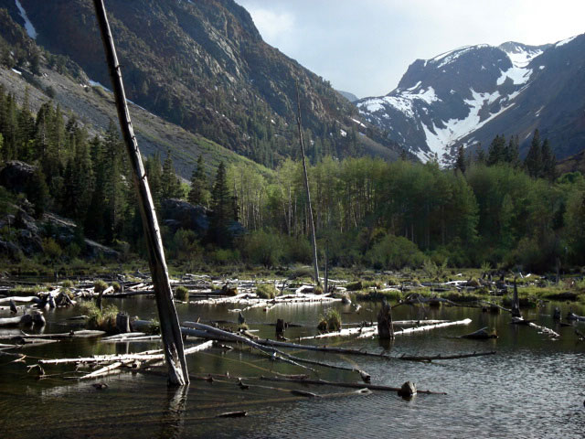
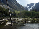
Lundy Canyon
and Mill Creek |
|
|
|
|
| Lundy Lake - Lundy Lake Road |
|
 |
|
|
|
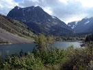
Gilcrest Peak
and Lundy Lake from
Lundy Lake Road |
|
|
|
 |
|
 |
|
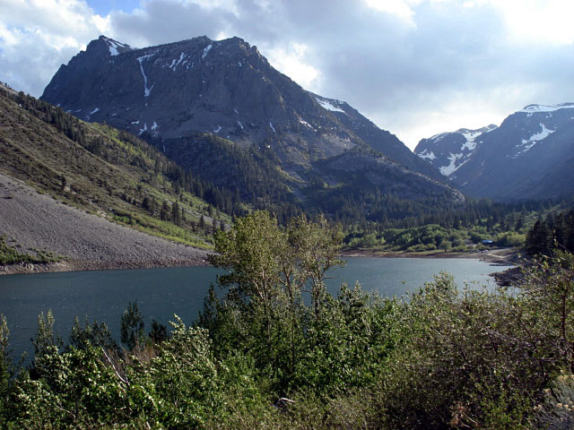
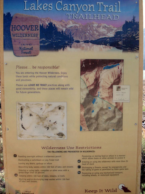
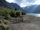
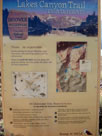
Lakes Canyon Trailhead
and Lundy Lake |
|
|
|
|
|
| Mill Creek Campground |
|
| No photos |
|
|
|
|
|
|
|
|
|
|
|
|
|
|
|
|
|
|
|
|
|
|
|
|
|
|
|
 |
|
|
|
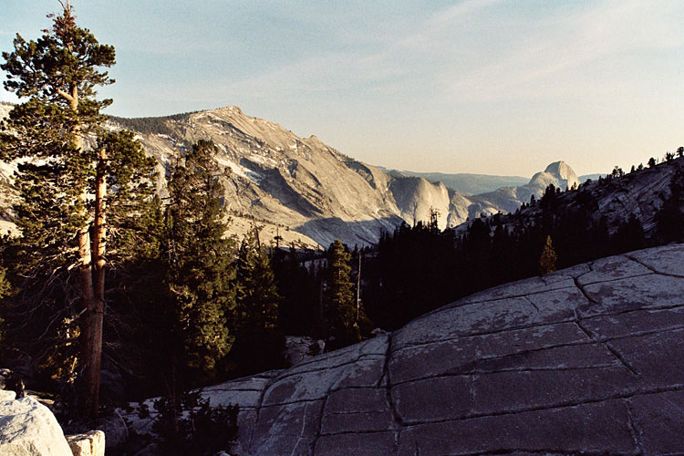
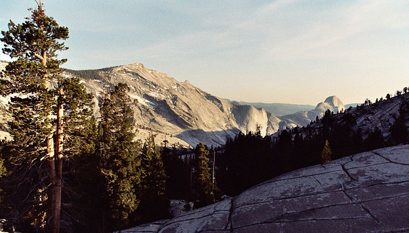
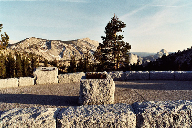
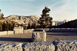
Clouds Rest and Half Dome
from Olmsted Point |
|
|
|
|
|
|
|