| サザン・シエラ |
 |
| (Southern Sierra) |
 |
|
|
 |
|
 |
|
|
 |
|
 |
| Sage Flat |
 |
 |
 |
|
 |
 |
 |
 |
 |
|
 |
|
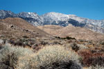
Olancha Peak and
Highway 395 from near
Sage Flats Road junction |
|
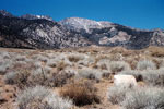
Olancha Peak from Sage Flat (Sage Flats Road) |
|
|
 |
|
 |
|
|
 |
|
 |
| Giant Sequoia National Monument |
 |
 |
 |
 |
 |
|
 |
 |
 |
 |
 |
|
 |
|
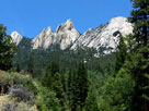
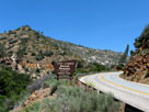
Kings Canyon and Highway
180 from Junction View |
|
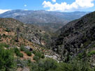
Kern Canyon from
Mountain Highway 99 |
|
Mountain Highway 99
near Johnsondale Bridge |
|
|
 |
|
 |
| Lloyd Road |
 |
 |
 |
|
 |
 |
 |
 |
 |
|
 |
|
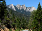
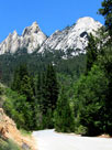
| The Needles from Lloyd Road |
|
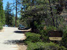
Jerkey Meadow
(Lloyd Roadend) |
|
|
 |
|
 |
| Mountain Highway 99 |
 |
 |
 |
|
 |
 |
 |
 |
 |
|
 |
|
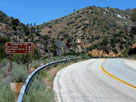
Mountain Highway 99
and Sherman Pass
Road junction |
|
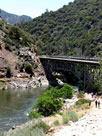
North Fork Kern
River, Johnsondale
Bridge and Mountain
Highway 99 |
|
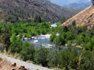
North Fork Kern River,
Kern Canyon and
Mountain Highway 99 |
|
|
 |
|
 |
|
|
 |
|
 |
| Kennedy Meadows |
 |
 |
 |
|
 |
 |
 |
|
 |
|
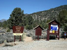
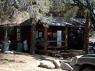
Kennedy Meadows
Campground from
Kennedy Meadow Road |
|
Kennedy Meadows
General Store |
|
|
 |
|
 |
|
|
 |
|
 |
| Canebrake Road |
 |
 |
 |
|
 |
 |
 |
 |
 |
|
 |
|
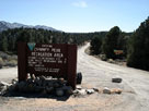
Canebrake Road into
Chimney Peak
Recreation Area |
|
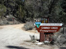
Chimney Creek
Campground |
|
Domeland Wilderness
from Canebrake Road
off Highway 178 |
|
|
 |
|
 |
|
|
 |
|
 |
| Walker Pass |
 |
 |
 |
 |
 |
|
 |
 |
 |
 |
 |
|
 |
|
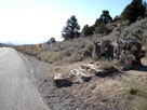
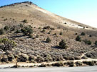
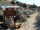
Walker Pass National
Historic Landmark
and CA 178 (east) |
|
Peak 6,366
from Walker Pass |
|
Pacific Crest Trail
(north) at Walker Pass |
|
|
 |
|
 |
| Walker Pass Campground |
 |
 |
 |
 |
 |
|
 |
 |
 |
 |
 |
|
 |
|
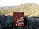
Walker Pass Campground
entrance off Highway 178 |
|
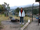
Walker Pass Campground and Pacific Crest Trail |
|
|
 |
|
 |
|
|
 |
|
 |
|
|
 |
|
 |
|
|
 |
|
 |
|
|
 |
|
 |
| サザン・シエラ (Southern Sierra) の写真 ON WEB |
 |
| 写真 |
|
|
| Photo Galleries |
 |
 |
 |
 |
 |
|
| Photos |
 |
 |
 |
 |
 |
 |
 |
 |
 |
 |
 |
 |
|
|