| シエラ・ネバダの道路&ハイウェイ |
 |
| (Roads & Highways of Sierra Nevada) |
 |
|
|
 |
|
 |
|
|
 |
|
 |
|
|
 |
|
 |
|
|
 |
|
 |
| Yosemite National Park [Photo Galleries] |
 |
 |
 |
 |
 |
 |
 |
Arch Rock Entrance and El
Portal Road (Highway 140) |
|
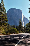
El Capitan and
Southside Drive |
|
El Capitan, Cathedral Rocks,
Bridalveil Fall and Merced
River from Valley View
off Northside Drive |
|
 |
 |
 |
 |
 |
 |
 |
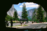
Tunnel View and Wawona
Road (Highway 41)
from Wawona Tunnel |
|
Tenaya Canyon and Half
Dome from Glacier Point |
|
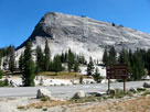
Lembert Dome
and Tioga Road |
|
 |
|
 |
|
|
 |
|
 |
| Minaret Road (California State Route 203) |
 |
 |
 |
 |
 |
 |
 |
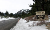
State Route 203 to Mammoth
Lakes and to Minaret Summit |
|
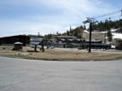
Mammoth Mountain Ski
Area and Minaret Road |
|
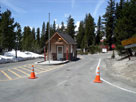
Minaret Vista Station
at Minaret Summit
from Minaret Road |
|
 |
|
 |
| Minaret Summit Road |
 |
 |
 |
 |
 |
 |
 |
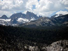
Minarets from
Minaret Summit Road |
|
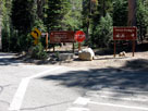
Minaret Summit Road
and Devils Postpile Road
to Devils Postpile
National Monument |
|
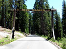
Red's Meadow Resort
entrance |
|
 |
|
 |
|
|
 |
|
 |
| Sequoia National Park |
 |
 |
 |
 |
 |
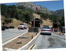
Ash Mountain Entrance,
Sequoia National Park
and Highway 198 |
|
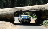
Tunnel Log (Crescent
Meadow Road) |
|
 |
|
 |
|
|
 |
|
 |
| Mineral King Road |
 |
 |
 |
 |
 |
 |
 |
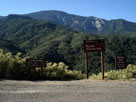
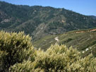
Lookout Point Entrance,
Sequoia National Park
from Mineral King Road |
|
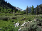
Lookout Point Entrance
and Mineral King Road |
|
Mosquito-Eagle Trailhead,
Mineral King |
|
 |
|
 |
| Eastern Sierra [Photo Galleries] |
 |
 |
 |
 |
 |
 |
 |
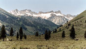
Matterhorn Peak and Sawtooth
Ridge from Twin Lakes Road |
|
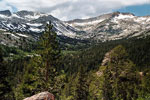
Mammoth Peak and
Tioga Pass from
Tioga Pass Road |
|
White Mountain and Mount
Conness (southeast peak)
from Saddlebag Lake Road |
|
 |
 |
 |
 |
 |
 |
 |
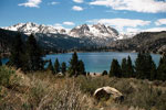
Carson Peak and June Lake
from June Lake Loop |
|
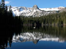
Lake Mamie (Mammoth
Lakes) from Lake Mary Rd |
|
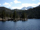
Rock Creek Lake
off Rock Creek Road |
|
 |
 |
 |
 |
 |
 |
 |
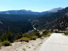
Onion Valley Road
to Onion Valley |
|
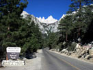
Mount Whitney and
Whitney Portal Road |
|
Horseshoe Meadow and
Horseshoe Meadows Road |
|
 |
|
 |
|
|
 |
|
 |
| Lloyd Road |
 |
 |
 |
 |
 |
 |
 |
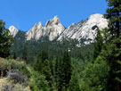
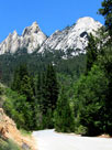
| The Needles from Lloyd Road |
|
Jerkey Meadow
(Lloyd Roadend) |
|
 |
|
 |
| Mountain Highway 99 |
 |
 |
 |
 |
 |
 |
 |
Mountain Highway 99
near Johnsondale Bridge |
|
Sherman Pass Road
junction |
|
North Fork Kern River,
Kern Canyon and
Mountain Highway 99 |
|
 |
|
 |
|
|
 |
|
 |
|
|
 |
|
 |
| Canebrake Road |
 |
 |
 |
 |
 |
 |
 |
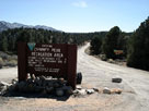
Canebrake Road into
Chimney Peak
Recreation Area |
|
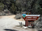
Chimney Creek
Campground |
|
Canebrake Road
off Highway 178 |
|
 |
|
 |
|
|
 |
|
 |
| シーニック・バイウェイ (Scenic Byways) [フォト・ギャラリー] |
 |
 |
 |
 |
 |
 |
 |
Ebbetts Pass and
Highway 4 (west) |
|
Red Lake from
Highway 88 |
|
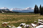
Mount Dana, Lembert Dome,
Mount Gibbs, Mammoth
Peak and Tuolumne
Meadows from Tioga Road |
|
 |
 |
 |
 |
 |
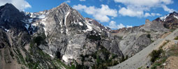
Peak 11,403 (Dana Crest), Lee Vining Canyon
and Highway 120 |
|
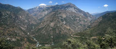
Middle Fork Kings River, Kings Canyon (South
Fork) and Highway 180 from Junction View |
|