| Populated Places of Mojave Desert |
 |
| Original photo collections of sceneries in and around Populated Places (Towns, Villages, Unincorporated Communities, Junctions, Visitor Centers, Ranger Stations, etc.), located in Mojave Desert (California/Nevada/Arizona/Utah, USA). |
|
 |
|
|
 |
|
 |
|
|
 |
| Grapevine |
 |
 |
 |
 |
 |
 |
 |
 |
 |
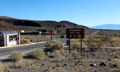
Grapevine Ranger Station and
Scottys Castle Road (south) |
|
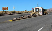
Grapevine Entrance Station and
Scottys Castle Road (north) |
|
 |
|
 |
|
|
 |
|
 |
|
|
 |
 |
 |
 |
 |
 |
 |
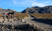
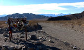
Hidden Valley Road
from Teakettle Junction |
|
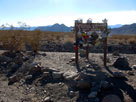
Last Chance Range and
Racetrack Rd (Racetrack Valley
Rd) from Teakettle Junction |
|
 |
|
 |
|
|
 |
 |
 |
 |
 |
 |
 |
CA 190 (west)
entering Stovepipe Wells
(Stovepipe Wells Village) |
|
Stovepipe Wells Village and CA 190 |
|
 |
|
 |
|
|
 |
|
 |
|
|
 |
 |
 |
 |
 |
 |
 |
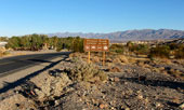
Highway 190 (west)
entering Furnace Creek |
|
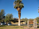
Furnace Creek Ranch |
|
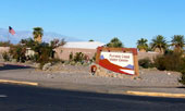
Furnace Creek Visitor Center |
|
 |
|
 |
| Badwater |
 |
 |
 |
 |
 |
 |
 |
 |
 |
Sea level sign
from Badwater
off Badwater Road |
|
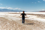
Badwater Basin
(Badwater Salt Flats) |
|
 |
|
 |
|
|
 |
|
 |
|
|
 |
|
|
 |
|
 |
|
|
 |
|
|
 |
|
 |
|
|
 |
|
|