| Mojave National Preserve & |
 |
| Death Valley National Park |
|
|
|
 |
|
|
|
|
|
| Day 1 - Mojave National Preserve |
|
 |
|
 |
|
 |
|
Kelbaker Road (north) entering
Mojave National Preserve |
|
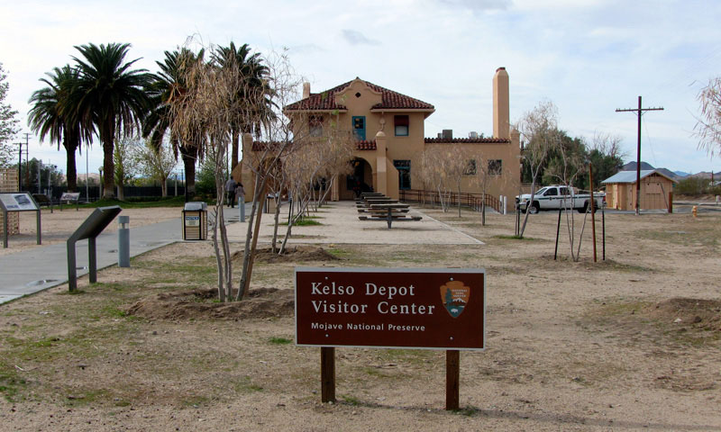
Kelso Depot Visitor Center
off Kelso Cima Road |
|
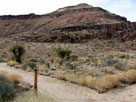
Mid Hills to Hole-in-the-
Wall Trail (south) from
Wild Horse Canyon Road |
|
|
 |
|
 |
|
 |
|
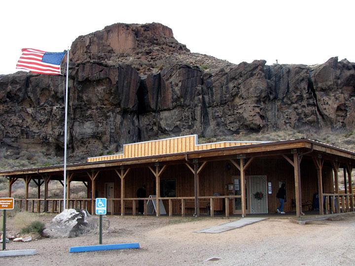
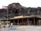
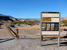
Hole In The Wall Visitor
Center (Hole-in- the-Wall
Information Center) |
|
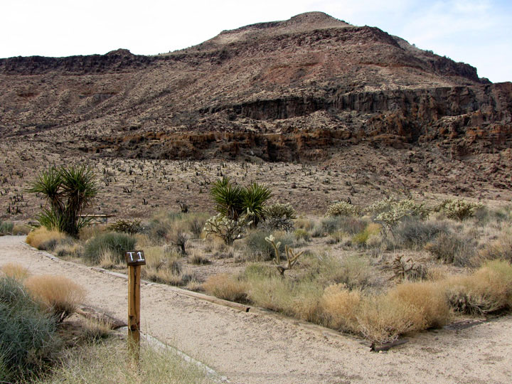
Hole In The Wall
Campground (Hole-in-
the-Wall
Campground) |
|
Mojave Road (west)
from Kelso Cima Road |
|
|
|
|
| Day 2 - Death Valley National Park |
|
 |
|
 |
|
 |
|
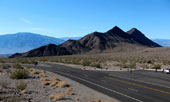
Death Valley Buttes, Hells
Gate and Daylight Pass Road |
|
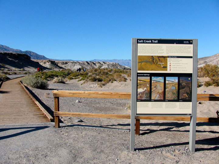
Salt Creek Trailhead |
|
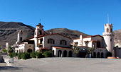
Scotty's Castle |
|
|
 |
|
 |
|
 |
|
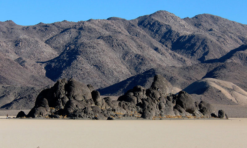
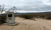
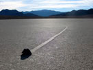
The Grandstand in The
Racetrack (Racetrack Playa) |
|
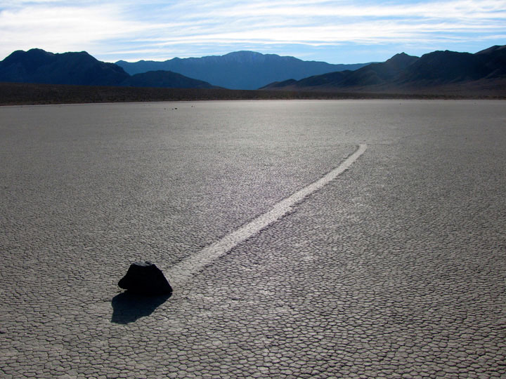
Moving Rocks
in The Racetrack |
|
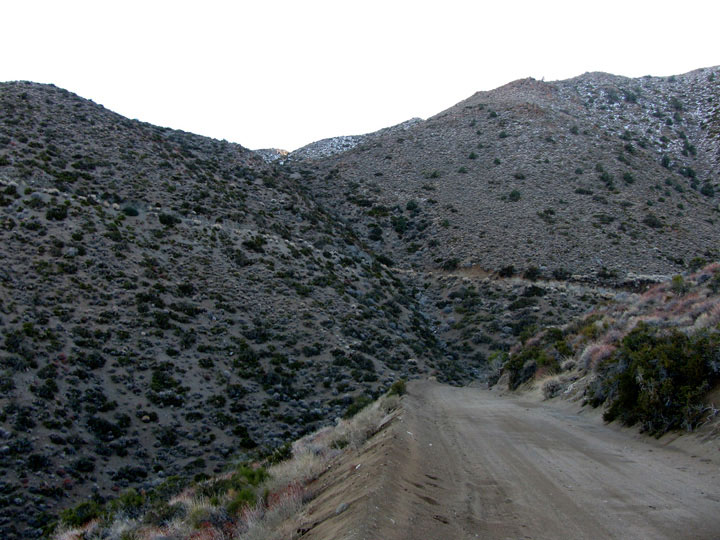
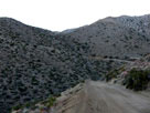
Hunter Mountain Road
in Cottonwood Mountains |
|
|
|
|
| Day 3 - Eastern Sierra |
|
 |
|
 |
|
 |
|
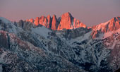
Mount Whiney from Dow
Villa Motel, Lone Pine |
|
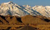
Lone Pine Peak, Mount
Whitney and Mount Russell
from Highway 136 |
|
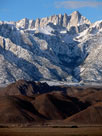
Lone Pine Peak
and Mount Whitney
from Owenyo Road |
|
|
 |
|
 |
|
 |
|
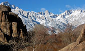
Mount Whitney
from Long John
Canyon Road |
|
Mount Whitney from
Tuttle Creek Road |
|
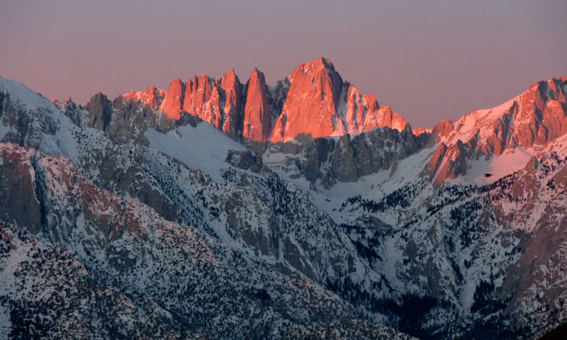
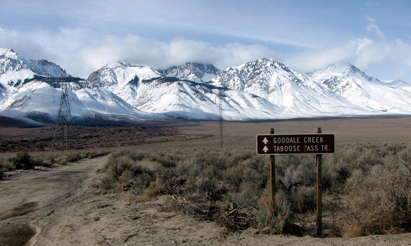
Split Mountain (in clouds),
Mount Tinemaha and Taboose
Creek Road from Tinnemaha Road |
|
|
|
|
| See also |
|
|
|
|