Death Valley Photo Gallery
Devil's Corn Field
(Devils Cornfield)
Original photo collection of sceneries in and around
Devil's Corn Field
(Devils Corn Field,
Devils Cornfield
, Devil's Cornfield)
, a flat located in
Death Valley National Park
(Inyo County, California, USA)
.
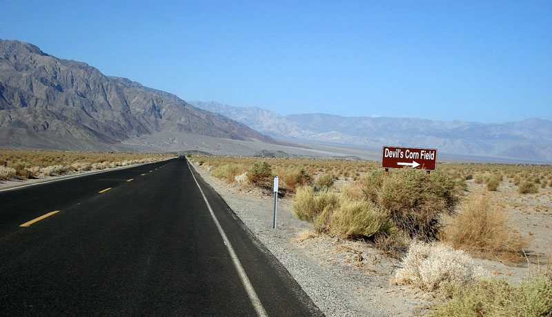
Highway 190
(California State Route 190)
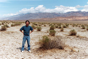
Devil's Corn Field and Highway 190 (west)
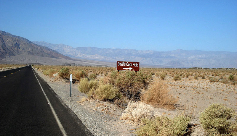
Devil's Corn Field
from Highway 190
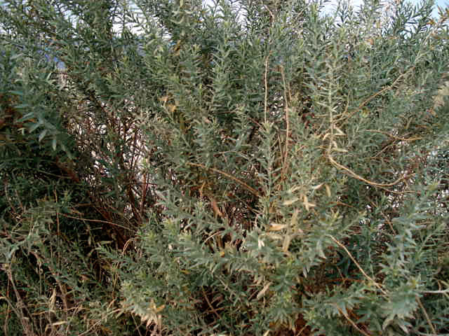
Devil's Corn Field
(Devils Cornfield)
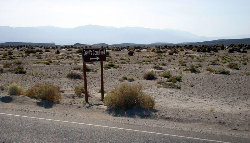
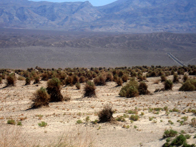
Panamint Range and Devil's Corn Field
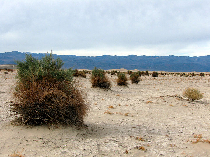
Devil's Corn Field
Devil's Corn Field
(Devils Cornfield)
Photos on Web
Forthcoming...
Death Valley
Ranges
Peaks
Dunes
Passes
Summits
Springs
Streams
Falls
Lakes
Canyons
Valleys & Basins
Flats
Devil's Corn Field
Devil's Golf Course
Lee Flat
Mahogany Flat
Mesquite Flat
The Racetrack
Ulida Flat
Trails
Trailheads
Roads
Highways
Scenic Byways
Vista Points
Historic Sites
Campgrounds
Villages
Yosemite
Sequoia & Kings Canyon
Sierra Nevada Mountains
Mojave Desert
Northern Sierra
Eastern Sierra
Southern Sierra
National Parks in U.S.
National Parks in Canada
[ English |
Japanese
]
For questions and comments, please send e-mail to
webmaster@itoda.com
.
Copyright © 2001-2011, Object Factory, Inc. All rights reserved.