フォト・ギャラリー
デス・バレーの砂丘
(Sand Dunes of Death Valley)
Original photo collection of sceneries with, from and around
Dunes
(
Sand Dunes
)
, located in
Death Valley National Park
(Inyo and San Bernardino Counties, California, USA)
.
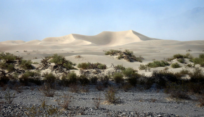
Mesquite Flat Sand Dunes
(
Mesquite Flat Dunes
)
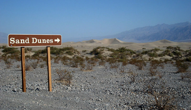
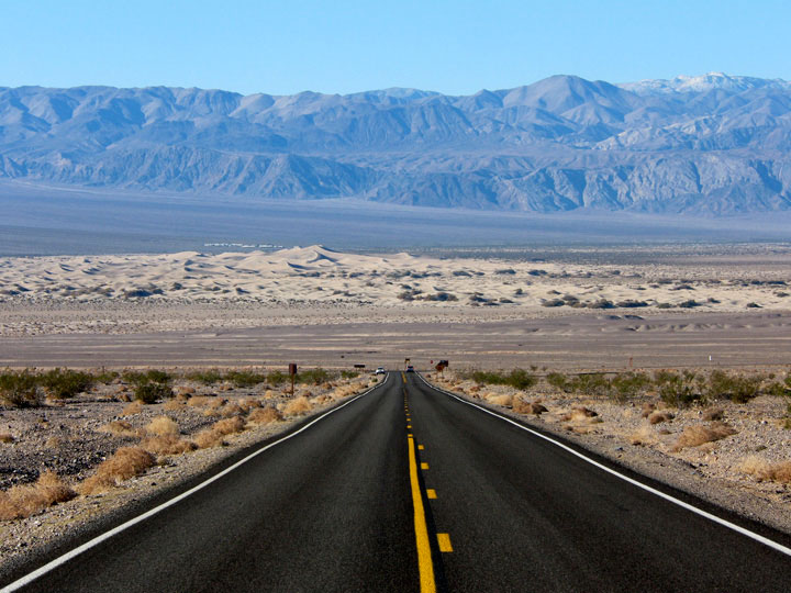
Mesquite Flat Sand Dunes from Highway 190
Panamint Range and
Mesquite Flat Sand Dunes
from Daylight Pass Road
Eureka Sand Dunes
(
Eureka Valley Sand Dunes
,
Eureka Dunes
)
Eureka Sand Dunes (Eureka
Dunes) and South Eureka Road
Last Chance Range and Eureka Sand
Dunes from South Eureka Road
Saline Valley Sand Dunes
(
Saline Valley Dunes
,
The Dunes
)
Forthcoming...
Panamint Sand Dunes
(
Panamint Dunes
,
The Dunes
)
Forthcoming...
Ibex Sand Dunes
(
Ibex Dunes
)
Forthcoming...
See also
フォト・ギャラリー 〜
モハヴィ砂漠の砂丘
デス・バレー
山脈
(
Ranges
)
山・峰
(
Peaks
)
砂丘 (
Dunes
)
Eureka Sand Dunes
Mesquite Flat
Sand Dunes
峠
(
Passes
)
サミット
(
Summits
)
泉
(
Springs
)
川
(
Streams
)
滝 (Falls)
湖
(
Lakes
)
峡谷
(
Canyons
)
渓谷・盆地
(
Valleys...
)
フラット
(
Flats
)
トレイル
(
Trails
)
Trailheads
道路
(
Roads
)
ハイウェイ
(
Highways
)
Scenic Byways
Vista Points
Historic Sites
Campgrounds
ビレッジ
(
Villages
)
ヨセミテ
Sequoia & Kings Canyon
シエラネバダ山脈
モハヴィ砂漠
Northern Sierra
イースタン・シエラ
Southern Sierra
アメリカの国立公園
カナダの国立公園
[
English
| 日本語 ]
ご意見・ご質問は,
webmaster@itoda.com
宛にメールをお送りください.
Copyright © 2001-2011, Object Factory, Inc. All rights reserved.