| デス・バレーのフラット&プレイン |
 |
| (Flats & Plains of Death Valley) |
|
|
|
|
|
|
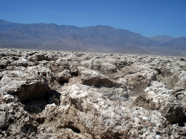
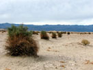
| Mesquite Flat |
|
 |
|
|
 |
|
 |
|
 |
|
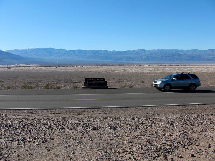
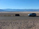
Panamint Range,
Mesquite Flat and
Scotty's Castle Road
below Kit Fox Hills |
|
Panamint Range and
Mesquite Flat from
Old Stovepipe Wells |
|
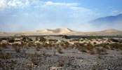
Mesquite Flat Sand
Dunes from Highway 190 |
|
|
|
|
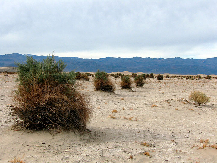
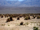
| Devil's Corn Field (Devils Cornfield) |
|
|
|
|
 |
|
 |
|
 |
|
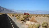
Devil's Corn Field
and Highway 190 (west) |
|
Panamint Range and
Devil's Corn Field |
|
|
|
|
|
|
|
|
|
|
|
|
|
|
|
|
|
 |
|
 |
|
 |
|
 |
|
|
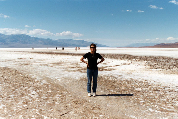
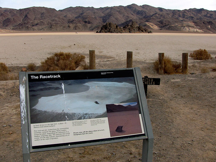
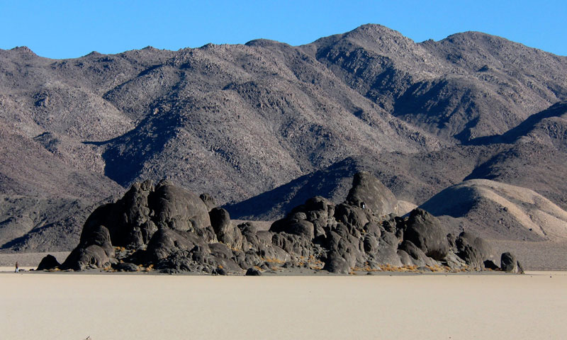
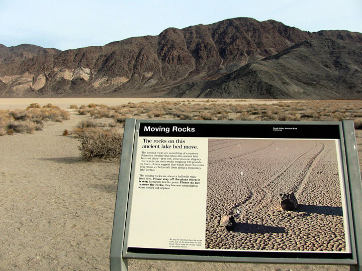
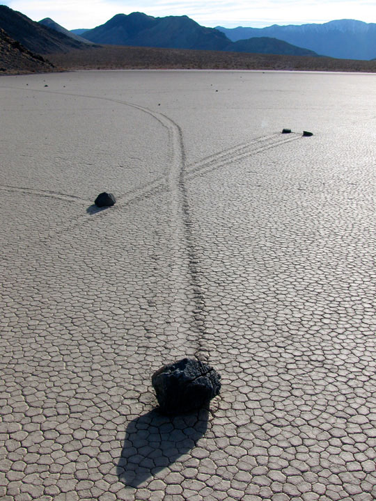
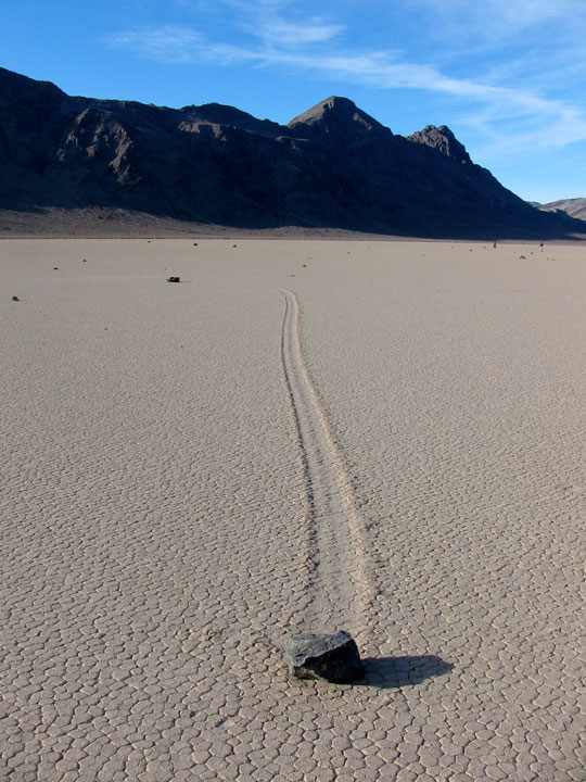
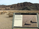
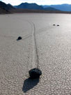
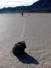
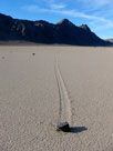
Moving Rocks in The Racetrack |
|
Ubehebe Peak
and Moving Rocks |
|
|
|
|
|
|
|
|
|
|
|
|
|
|
|
|