Golden Trout Lakes Trail,
Mono Lake & Fairview Dome (Day 2) |
 |
|
|
 |
|
 |
|
|
 |
 |
 |
 |
 |
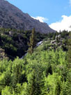
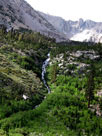
Robinson Lake Falls
from Onion Valley Campground |
|
 |
|
 |
|
|
 |
 |
 |
 |
 |
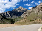
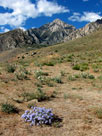
| Independence Peak from Onion Valley Road |
|
 |
|
 |
|
|
 |
|
 |
|
|
 |
|
 |
|
|
 |
 |
 |
 |
 |
 |
 |
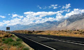
| Sierra Nevada from Highway 395 near Division Creek Roadside Rest Area |
|
 |
 |
 |
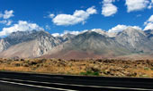
| Sierra Nevada from Highway 395 near Division Creek Roadside Rest Area |
|
 |
 |
 |
 |
 |
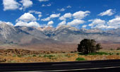
| Sierra Nevada from Highway 395 near Division Creek Roadside Rest Area |
|
 |
 |
 |
 |
 |
 |
 |
 |
|
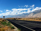
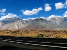
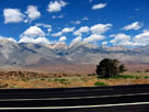
Sierra Nevada from Highway 395 near Division Creek Roadside Rest Area |
|
 |
|
 |
| Highway 395 [Cont'd] |
 |
 |
 |
 |
 |
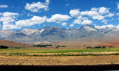
Split Mountain, Mount
Tinemaha and Birch Mountain
from Highway 395 |
|
|
 |
|
 |
| Big Pine |
 |
 |
 |
 |
 |
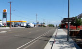
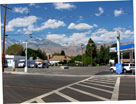
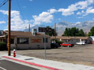
Big Pine and
Highway 395 (north) |
|
|
 |
 |
 |
 |
 |
Glacier Lodge Road and
Highway 395, Big Pine |
|
Mount Tinemaha, Split
Mountain and Birch
Mountain from Big Pine |
|
 |
|
 |
|
|
 |
|
|
 |
 |
 |
 |
 |
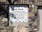
Old bath house,
Keough Hot Springs |
|
|
 |
|
|
 |
|
 |
| Bishop |
 |
 |
 |
 |
 |
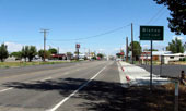
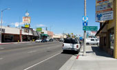
Bishop and
Highway 395 (north) |
|
|
 |
 |
 |
 |
 |
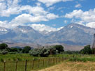
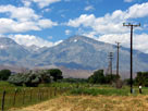
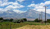
| Basin Mountain and Mount Tom from Bishop |
|
 |
 |
 |
Basin Mountain and Mount Tom
from Bishop |
|
 |
 |
 |
 |
 |
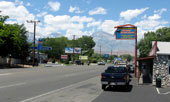
Bishop and
Highway 395 (north) |
|
Basin Mountain, Mount Tom
and Highway 395 (north) |
|
 |
|
 |
| Highway 395 [Cont'd] |
 |
 |
 |
 |
 |
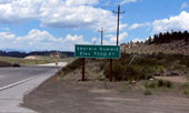
Sherwin Summit and
Highway 395 (north) |
|
|
 |
|
 |
|
|
 |
 |
 |
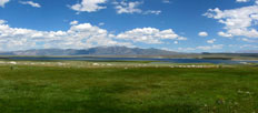
Lake Crowley from
Vista Point off Highway 395 north |
|
 |
 |
 |
 |
 |
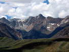
| Mount Morgan |
|
Mount Baldwin |
|
 |
|
 |
|
|
 |
 |
 |
 |
 |
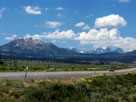
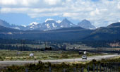
Mammoth Mountain,
Ritter Range and
Highway 395 from
Hot Creek Hatchery Road |
|
Mount Ritter, Banner
Peak and Highway 395 |
|
 |
|
 |
|
|
 |
|
 |
| Twin Lakes - Mammoth Lakes |
 |
 |
 |
 |
 |
 |
 |
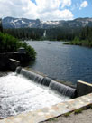
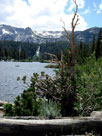
Twin Lakes from Twin Lakes Vista
off Lake Mary Road |
|
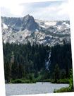
Crystal Crag,
Twin Falls
and Twin Lakes |
|
 |
|
 |
|
|
 |
|
 |
|
|
 |
|
 |
|
|
 |
|
|
 |
|
|
 |
|
 |
| Lake Mary |
 |
 |
 |
 |
 |
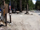
| Pine City Campground |
|
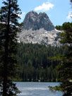
Crystal Crag
and Lake Mary |
|
 |
|
 |
|
|
 |
|
 |
|
|
 |
|
 |
|
|
 |
|
|
 |
|
 |
|
|
 |
|
 |
|
|
 |
|
 |
|
|
 |
|
 |
|
|
 |
|
 |
|
|
 |
|
 |
|
|
 |
 |
 |
 |
 |
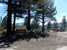
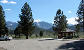
June Lake Loop Information Kiosk off Highway 158
near June Lake Junction |
|
 |
|
 |
| Viewpoint Road |
 |
 |
 |
 |
 |
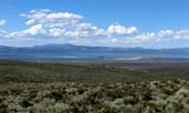
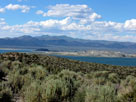
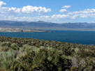
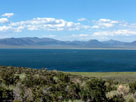
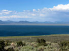
Mono Lake from Vista Point
along Viewpoint Road
off Highway 395 |
|
|
 |
 |
 |
 |
 |
 |
 |
 |
 |
| Mono Lake from Vista Point along Viewpoint Road off Highway 395 |
|
 |
 |
 |
| Mono Lake from Vista Point off Highway 395 |
|
 |
 |
 |
 |
 |
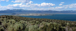
| Mono Lake from Vista Point off Highway 395 |
|
 |
 |
 |
 |
 |
 |
 |
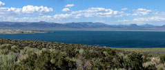
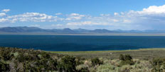
| Mono Lake from Vista Point off Highway 395 |
|
 |
|
 |
| Highway 120 (California Sate Route 120) |
 |
 |
 |
 |
 |
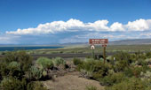
| Mono Lake and Highway 120 |
|
|
 |
|
 |
|
|
 |
 |
 |
 |
 |
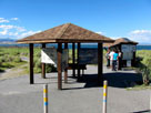
Mono Lake Tufa State
Natural Reserve entrance |
|
|
 |
|
 |
|
|
 |
 |
 |
 |
 |
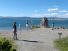
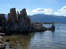
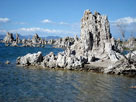
| Mono Lake South Tufa from South Tufa Trail |
|
 |
 |
 |
 |
 |
 |
 |
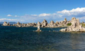
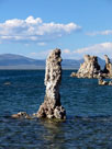
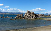
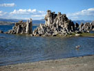
| Mono Lake South Tufa from South Tufa Trail |
|
|
 |
 |
 |
 |
 |
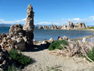
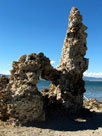
| Mono Lake South Tufa from South Tufa Trail |
|
 |
 |
 |
 |
 |
| Mono Lake South Tufa from South Tufa Trail |
|
 |
|
|
 |
|
 |
|
|
 |
 |
 |
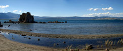
| Mono Lake South Tufa from South Tufa Trail |
|
 |
 |
 |
 |
 |
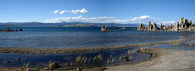
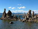
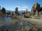
| Mono Lake South Tufa from South Tufa Trail |
|
 |
 |
 |
 |
 |
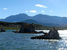
| Mono Lake South Tufa from South Tufa Trail |
|
 |
 |
 |
 |
 |
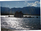
Mount Gibbs, Mount
Dana and Mono Lake |
|
|
 |
|
|
 |
|
 |
|
|
 |
|
|
 |
 |
 |
 |
 |
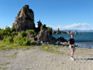
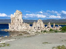
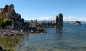
| Mono Lake South Tufa from South Tufa Trail |
|
 |
|
|
 |
 |
 |
 |
 |
 |
 |
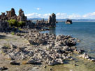
| Mono Lake South Tufa from South Tufa Trail |
|
|
 |
 |
 |
 |
 |
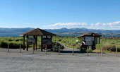
Mono Lake Tufa State
Natural Reserve entrance |
|
|
 |
|
 |
|
|
 |
 |
 |
 |
 |
 |
 |
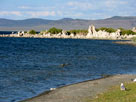
Mono Lake South Tufa
from Navy Beach |
|
|
 |
|
 |
| Highway 120 (California Sate Route 120) |
 |
 |
 |
 |
 |
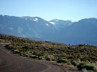
Koip Peak (?)
from Highway 120 |
|
|
 |
|
 |
|
|
 |
|
 |
|
|
 |
|
 |
|
|
 |
|
 |
|
|
 |
|
|
 |
|
 |
| Day 3 - Fairview Dome |
 |
 |
 |
 |
 |
 |
 |
 |
 |
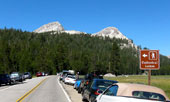
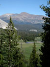
Fairview Dome from
Cathedral Lakes Trailhead |
|
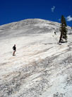
South slope of
Fairview Dome |
|
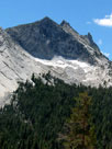
Cathedral Peak
from Fairview Dome |
|
Mount Gibbs from
Tenaya Lake Trail |
|