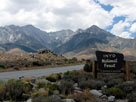
| オニオン・バレー・ロード |
 |
| (Onion Valley Road) |
|
|
|
|
|
|
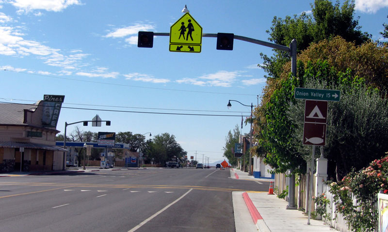
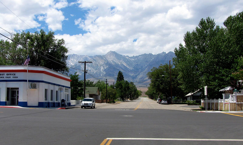
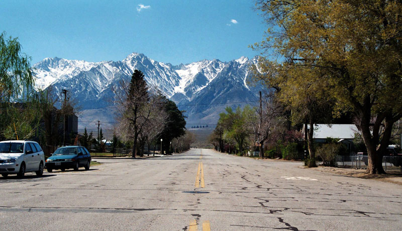
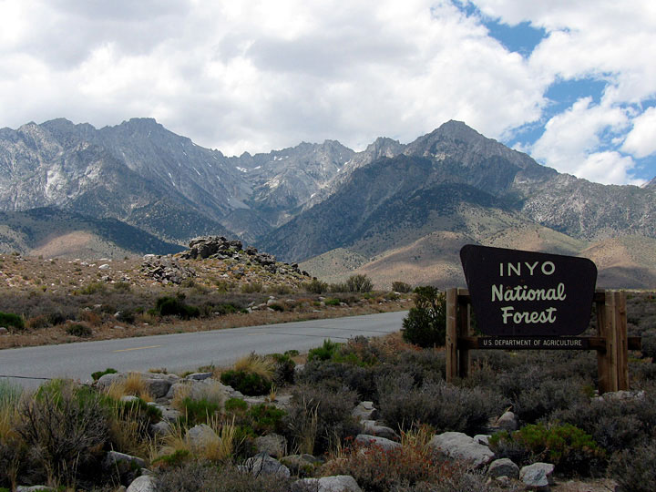
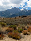
| Independence - Highway 395 (U.S. Route 395) |
|
 |
|
 |
|
|
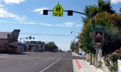
Independence and
Highway 395 (south) |
|
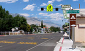
Independence and
Highway 395 (north) |
|
|
|
|
|
|
|
|
|
|
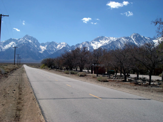
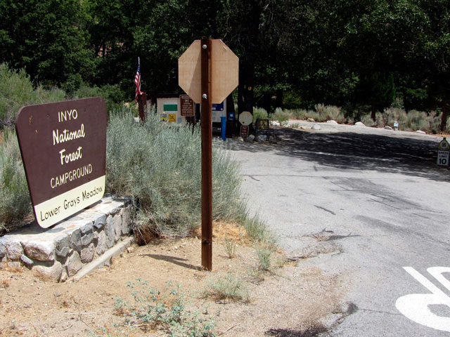
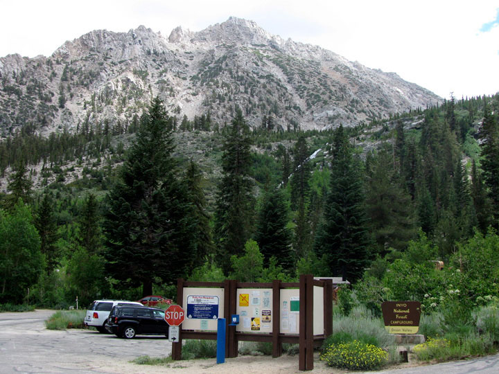
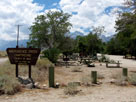
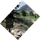
| Independence Creek Campground |
|
 |
|
 |
|
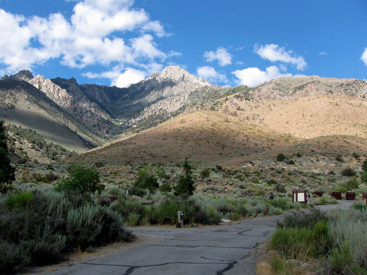
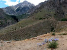
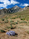
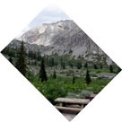
Mt. Williamson, Mt. Keith,
Mt. Bradley, Onion Valley
Road and Independence
Creek Campground |
|
Mount Williamson from
Independence Creek
Campground |
|
|
|
|
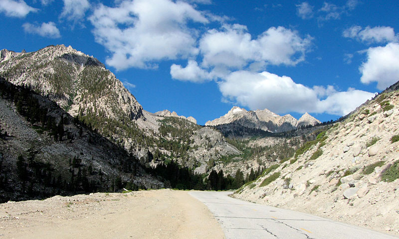
| Onion Valley Road [Cont'd] |
|
 |
|
 |
|
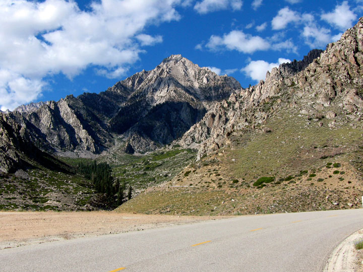
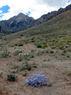
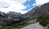
Mount Bradley, University
Peak and Independence
Peak from Onion Valley Rd |
|
Mount Williamson |
|
|
|
|
|
|
|
|
|
|
|
|
|
|
|
|
|
|
|
| Onion Valley Road [Cont'd] |
|
 |
|
 |
|
 |
|
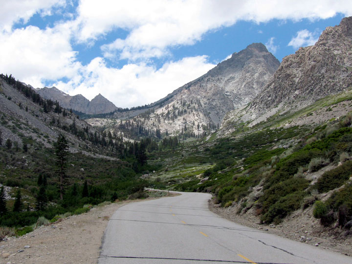
| Independence Peak from Onion Valley Road |
|
|
 |
|
 |
|
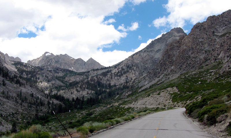
Independence Peak and
Onion Valley Road |
|
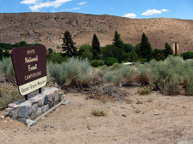
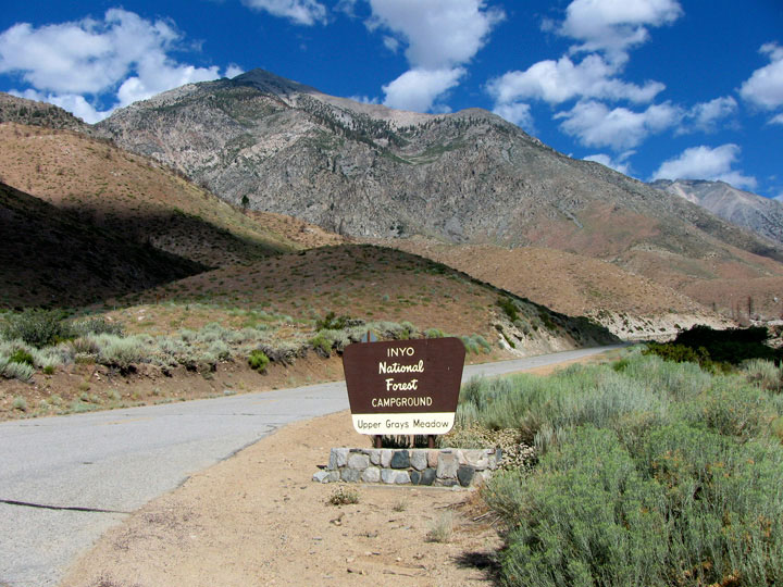
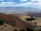
Inyo Mountains, Owens
Valley and Grays Meadow |
|
|
 |
|
 |
|
 |
|
| Onion Valley Road to Onion Valley |
|
|
|
|
| オニオン・バレー (Onion Valley) |
|
 |
|
 |
|
 |
|
Onion Valley
(Onion Valley Roadend) |
|
Onion Valley from
Kearsarge Pass Trail |
|
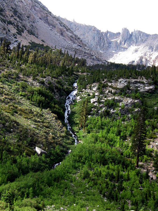
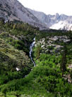
Robinson Lake Falls |
|
|
|
|
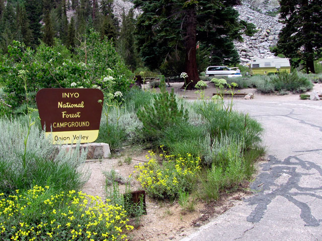
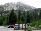
| Onion Valley Campground |
|
 |
|
 |
|
 |
|
Independence Peak,
Robinson Lake Falls and
Onion Valley Campground |
|
Onion Valley from
Onion Valley Campground |
|
|
|
|
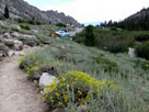
| Kearsarge Pass Trail |
|
 |
|
 |
|
 |
|
 |
|
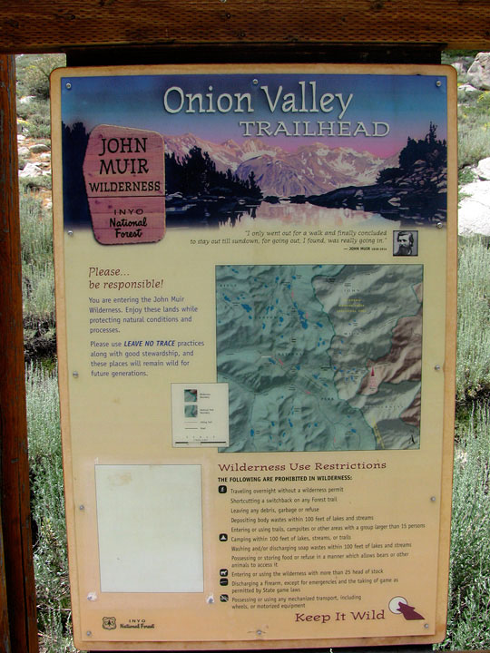
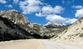
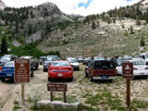
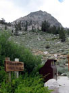
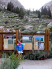
Kearsarge Pass Trailhead
(Onion Valley Trailhead) |
|
Golden Trout Falls and
Kearsarge Pass Trail |
|
|
|
|
|
|
|
|
|
| オニオン・バレー・ロード (Onion Valley Road) の写真 ON WEB |
|
| 写真 |
|
 |
|
|
| Photo Galleries |
|
 |
|
|
| Photos |
 |
 |
 |
 |
 |
 |
 |
 |
 |
 |
|
|
|