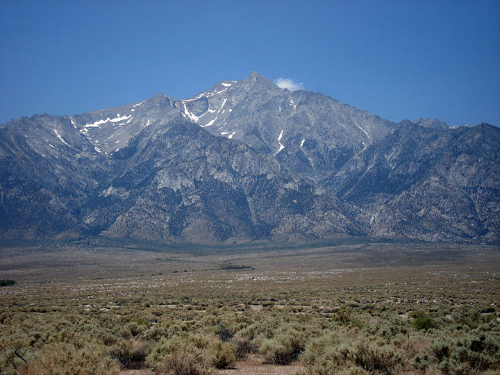
| North Fork Lone Pine Creek (Day 1) |
 |
|
|
|
|
|
|
|
|
|
|
|
|
|
|
|
|
|
|
|
|
|
|
|
|
|
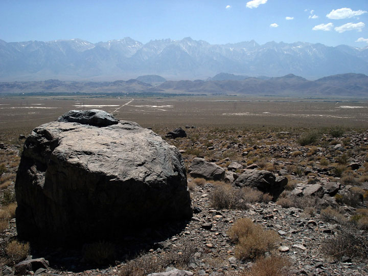
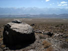
| Lone Pine Narrow Gauge Road |
|
 |
|
 |
|
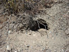
| Where did the tortoise go? |
|
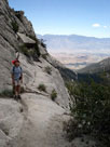
Sierra Nevada Mountains
and Lone Pine from
above Lone Pine Narrow
Gauge Road |
|
|
|
|
|
|
|
|
|
|
|
|
|
|
| Day 2 - North Fork Lone Pine Creek & Tioga Pass |
|
 |
|
 |
|
 |
|
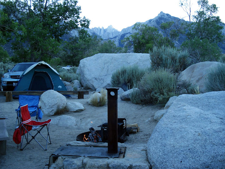
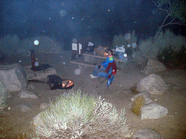
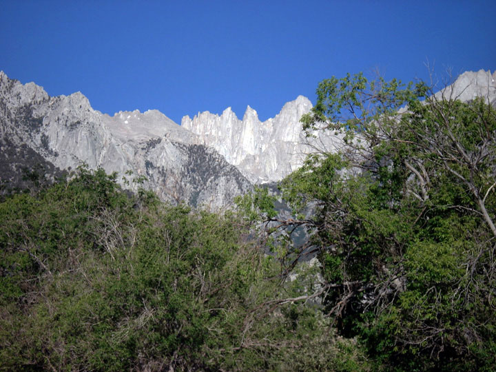
Mount Whitney from
Lone Pine Campground |
|
North Fork Lone Pine
Creek Trail |
|
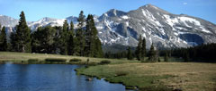
Kuna Crest, Mammoth Peak and Upper Dana
Meadow from near Tioga Pass |
|