デス・バレー フォト・ギャラリー
Mesquite Flat
(メスキート・フラット)
Original photo collection of sceneries in and around
Mesquite Flat
located in
Death Valley National Park
(Inyo County, California, USA)
.
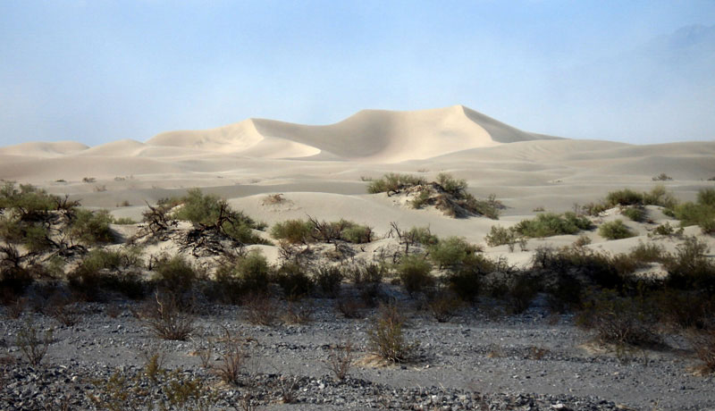
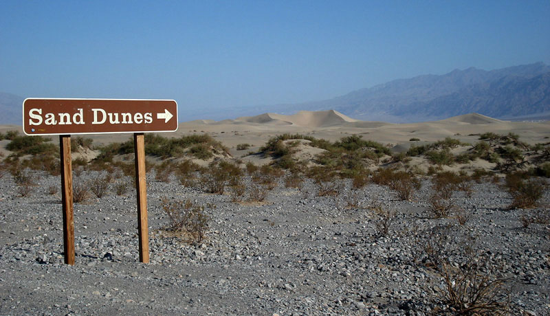
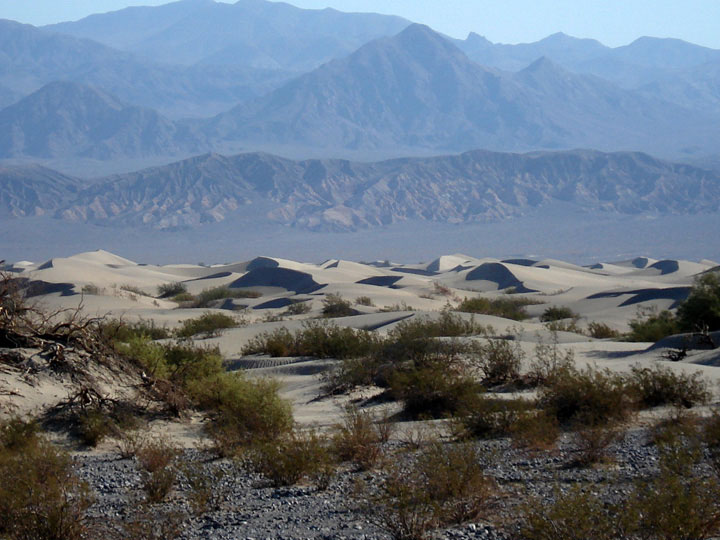
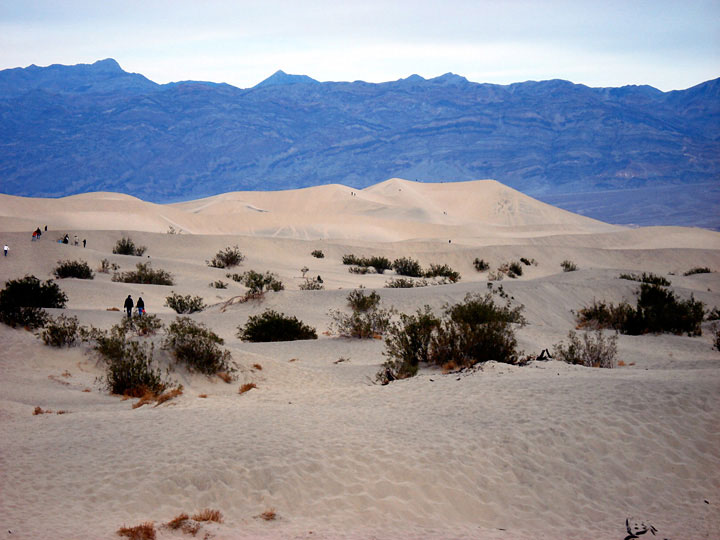
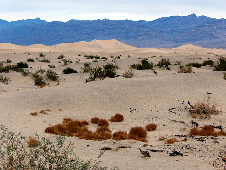
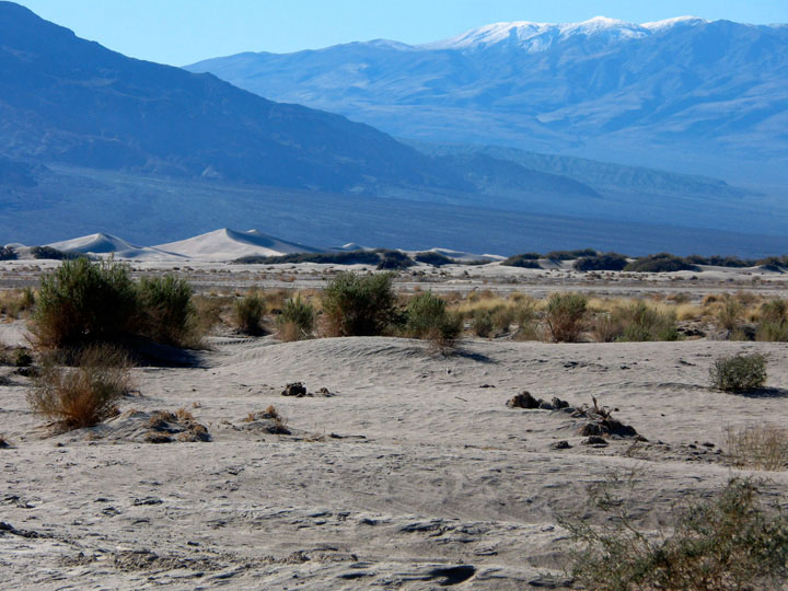
Mesquite Flat Sand Dunes
(
Mesquite Flat Dunes
)
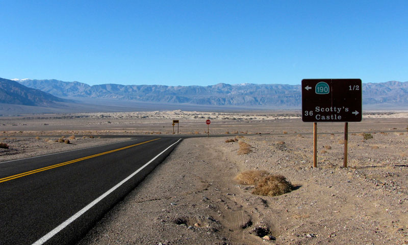
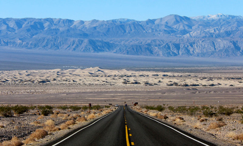
Mesquite Flat Sand Dunes from Highway 190
Mesquite Flat Sand Dunes from Highway 190
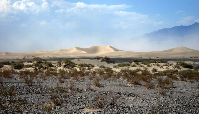
Mesquite Flat Sand Dunes Trailhead
Grapevine Mountains and Mesquite Flat Sand Dunes from
Mesquite Flat Sand Dunes Trailhead off Highway 190
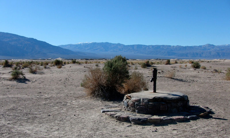
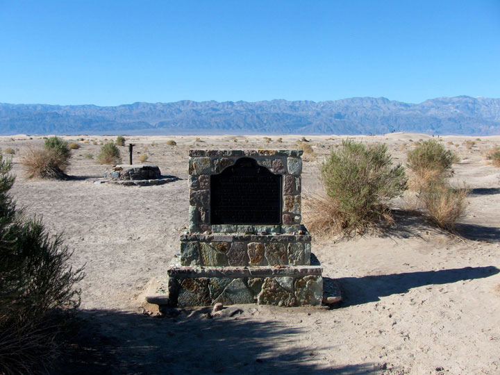
Old Stovepipe Wells
(
Historic Stovepipe Wells
)
Panamint Range and Mesquite Flat Sand Dunes
from Old Stovepipe Wells
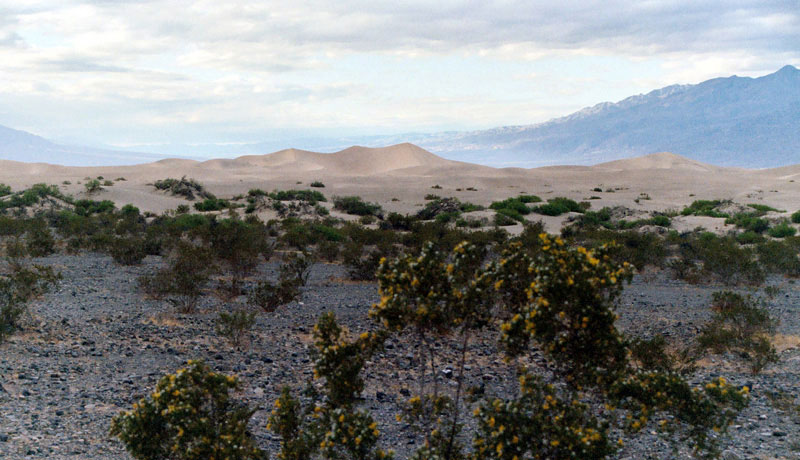
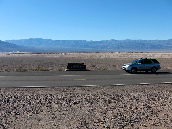
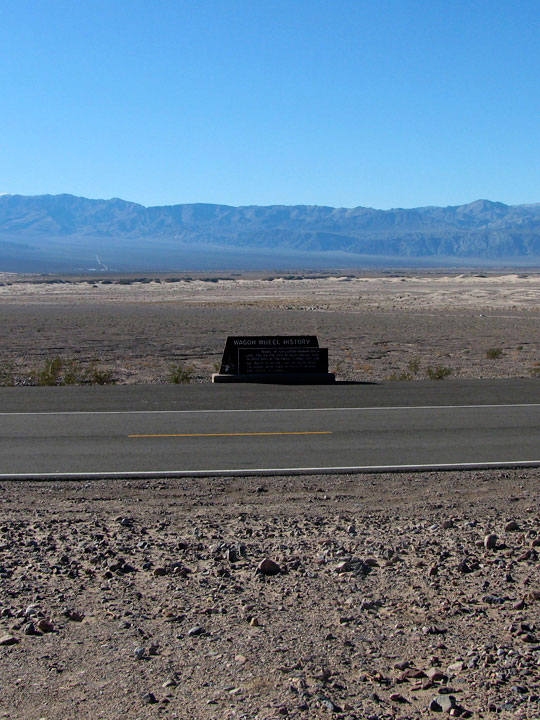
Scottys Castle Road
(Scotty's Castle Road)
Panamint Range, Mesquite Flat and Scottys
Castle Road from below Kit Fox Hills
Daylight Pass Road
Panamint Range and Mesquite Flat Sand Dunes
from Daylight Pass Road
メスキート・フラット
(Mesquite Flat)
の写真 ON WEB
Forthcoming...
デス・バレー
山脈
(
Ranges
)
山・峰
(
Peaks
)
砂丘
(
Dunes
)
峠
(
Passes
)
サミット
(
Summits
)
泉
(
Springs
)
川
(
Streams
)
滝 (Falls)
湖
(
Lakes
)
峡谷
(
Canyons
)
渓谷・盆地
(
Valleys...
)
フラット
(
Flats
)
Devil's Corn Field
Devil's Golf Course
Lee Flat
Mahogany Flat
Mesquite Flat
The Racetrack
Ulida Flat
トレイル
(
Trails
)
Trailheads
道路
(
Roads
)
ハイウェイ
(
Highways
)
Scenic Byways
Vista Points
Historic Sites
Campgrounds
ビレッジ
(
Villages
)
ヨセミテ
Sequoia & Kings Canyon
シエラネバダ山脈
モハヴィ砂漠
Northern Sierra
イースタン・シエラ
Southern Sierra
アメリカの国立公園
カナダの国立公園
[
English
| 日本語 ]
ご意見・ご質問は,
webmaster@itoda.com
宛にメールをお送りください.
Copyright © 2001-2011, Object Factory, Inc. All rights reserved.