ITODA.COM デス・バレー フォト・ギャラリー
ザブリスキー・ポイント
 (Zabriskie Point)
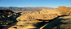
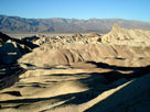
Original photo collection of sceneries from and around Zabriskie Point, a scenic viewpoint (classified as Summit) off Highway 190 (California State Route 190), located in Death Valley National Park (Inyo County, California, USA).

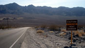
Highway 190 (California State Route 190)
Black Mountains and
Highway 190 (west)

Zabriskie Point Trailhead
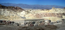
Zabriskie Point from Zabriskie Point Trailhead
off Highway 190

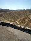
Zabriskie Point Trail
Manly Beacon from
Zabriskie Point Trail

ザブリスキー・ポイント (Zabriskie Point)
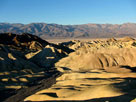
Panamint Range, Death Valley and Golden Canyon
from Zabriskie Point
Panamint Range, Death Valley and Golden
Canyon from Zabriskie Point
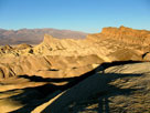
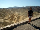
Panamint Range, Death Valley and Golden Canyon
from Zabriskie Point
Panamint Range, Death Valley and Golden
Canyon from Zabriskie Point

ザブリスキー・ポイント [続き]
Highway 190 from
Zabriskie Point

ザブリスキー・ポイント (Zabriskie Point) の写真 ON WEB
Forthcoming...
デス・バレー
山脈 (Ranges)
山・峰 (Peaks)
砂丘 (Dunes)
(Passes)
サミット (Summits)
(Springs)
(Streams)
滝 (Falls)
(Lakes)
峡谷 (Canyons)
渓谷・盆地 (Valleys...)
フラット (Flats)

トレイル (Trails)
Trailheads
道路 (Roads)
ハイウェイ (Highways)
Scenic Byways
Vista Points
Artsist's Palette
Dante's View
Father Crowley Vista
Hells Gate
Ubehebe Crater
 Overlook
Zabriskie Point
Historic Sites
Campgrounds
ビレッジ (Villages)

ヨセミテ
Sequoia & Kings Canyon

シエラネバダ山脈
モハヴィ砂漠

Northern Sierra
イースタン・シエラ
Southern Sierra

アメリカの国立公園
カナダの国立公園
[ English | 日本語 ]

ご意見・ご質問は,webmaster@itoda.com 宛にメールをお送りください.
Copyright © 2001-2011, Object Factory, Inc. All rights reserved.