| Valleys & Basins of Eastern Sierra |
 |
|
|
|
|
|
|
|
|
|
|
|
|
|
|
|
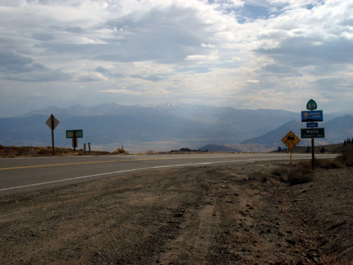
| Bridgeport Valley |
|
 |
|
 |
|
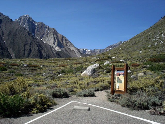
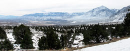
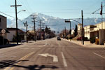
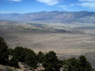
Sawtooth Ridge and
Bridgeport Valley from
Highway 395 near Bridgeport |
|
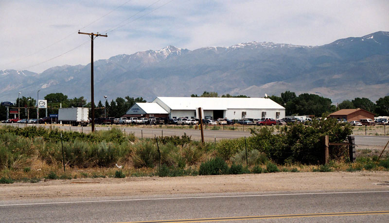
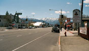
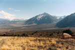
Bridgeport and
Highway 395 (north) |
|
|
|
|
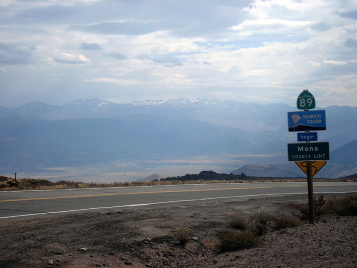
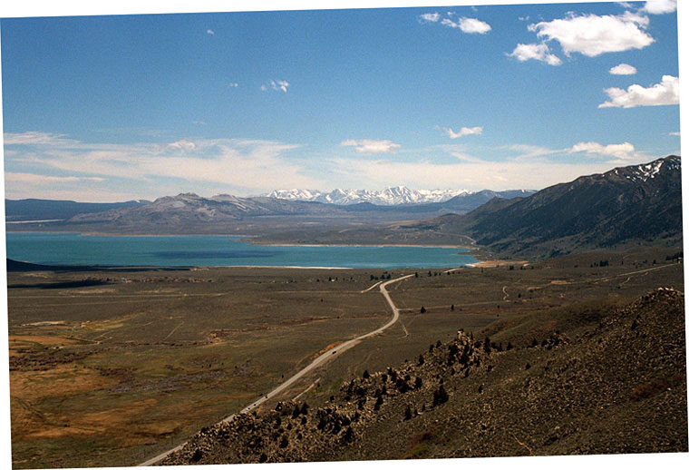
| Mono Basin |
|
 |
|
 |
|
 |
|
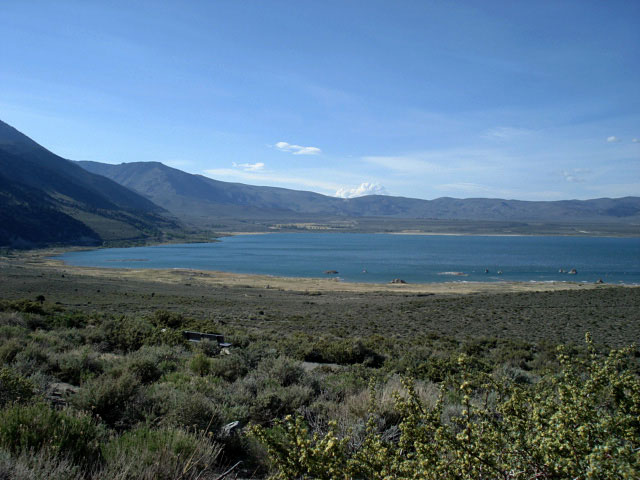
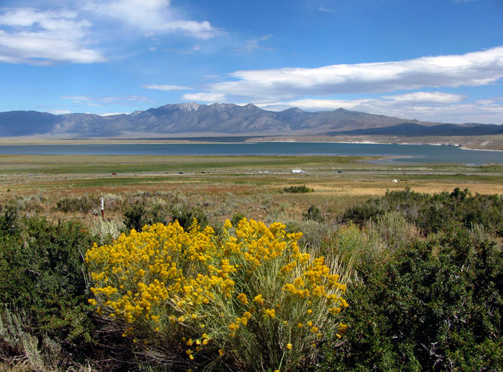
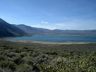
Mono Basin and Mono Lake
from Mono Lake Vista |
|
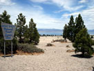
Mono Lake from Mono
Basin Scenic Area
Visitor Center |
|
Mono Basin and Mono Lake
from CA State Route 120 |
|
|
|
|
| 20 Lakes Basin (Twenty Lakes Basin) |
|
 |
|
 |
|
 |
|
|
 |
|
 |
|
 |
|
|
|
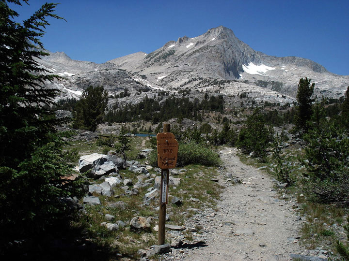
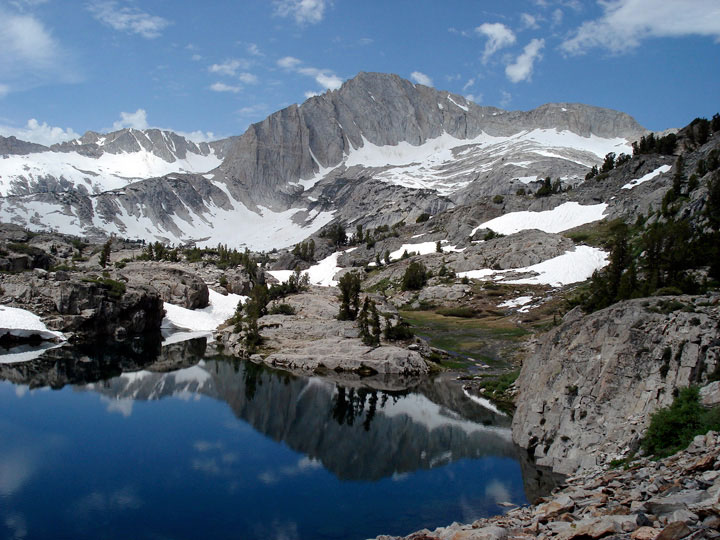
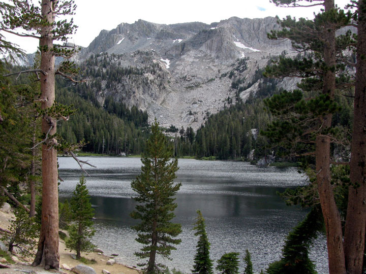
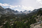
North Peak,
Greenstone Lake and
20 Lakes Basin Trail |
|
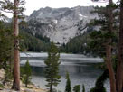
North Peak
and Wasco Lake |
|
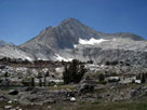
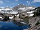
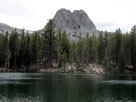
Shepherd Crest and
unnamed lake
(headwater of Mill Creek) |
|
|
|
 |
|
 |
|
 |
|
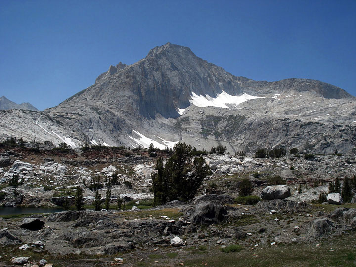
North Peak and
Steelhead Lake |
|
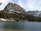
North Peak and
Shamrock Lake |
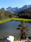
|
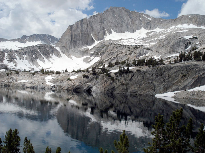
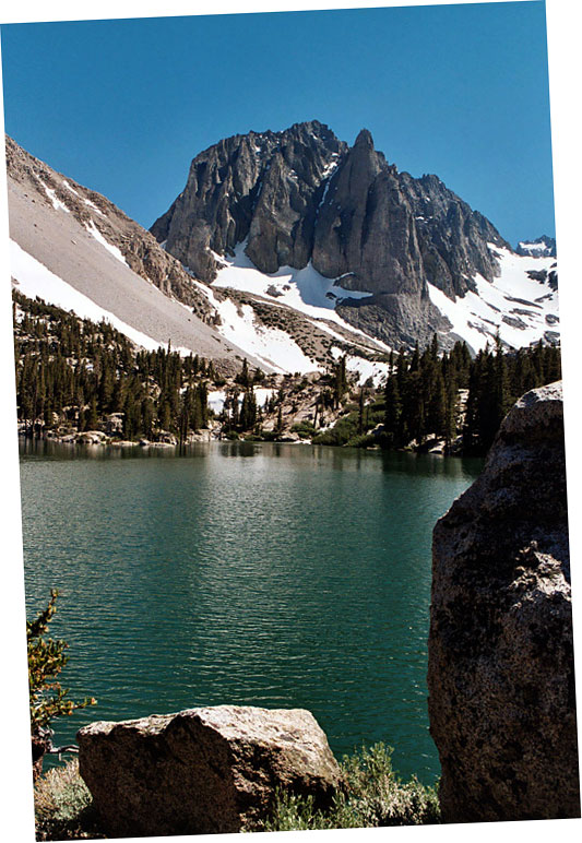
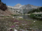
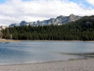
Lake Helen |
|
|
|
|
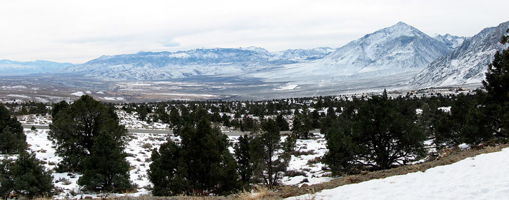
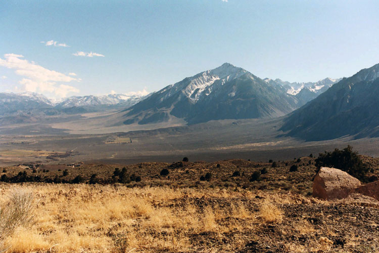
| Long Valley |
|
 |
|
 |
|
Northeast rim of Long Valley Caldera
from Highway 395 |
|
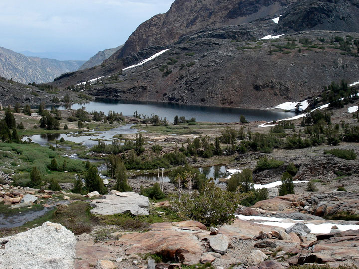
Lake Crowley (Long
Valley) from Crowley
Lake Drive |
|
|
|
|
| Mammoth Lakes Basin |
|
 |
|
 |
|
 |
|
|
 |
|
 |
|
 |
|
|
|
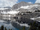
Crystal Crag
and Lake Mary |
|
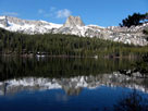
Crystal Crag
and Lake George |
|
Mammoth Crest
and Horseshoe Lake |
|
|
|
 |
|
 |
|
 |
|
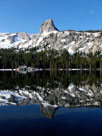
Crystal Crag
Crystal Lake |
|
Crystal Crag
and Lake Barrett |
|
Mammoth Crest
and T.J. Lake |
|
|
|
|
| Little Lakes Valley |
|
|
|
|
|
|
 |
|
 |
|
 |
|
|
|
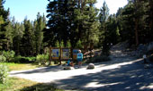
Little Lakes Valley Trailhead
(Mono Pass Trailhead)
at Mosquito Flat |
|
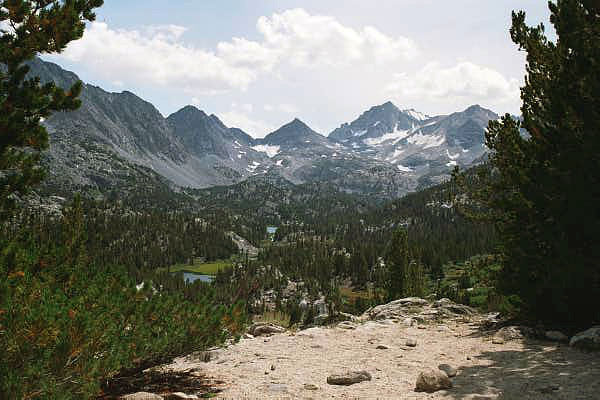
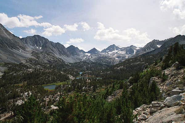
Bear Creek Spire and Little Lakes Valley
from Mono Pass Trail |
|
|
|
 |
|
 |
|
 |
|
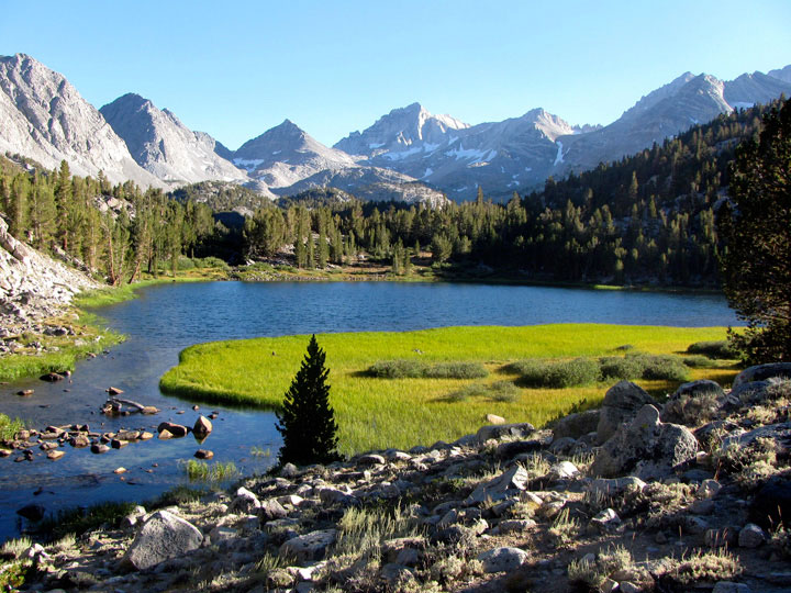
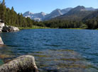
Bear Creek Spire
and Mack Lake |
|
Bear Creek Spire
and Marsh Lake |
|
Bear Creek Spire
and Heart Lake |
|
|
|
|
| Round Valley |
|
 |
|
 |
|
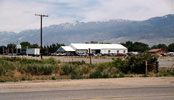
| Round Valley and Mount Tom from Lower Rock Creek Road |
|
|
|
|
|
|
|
|
|
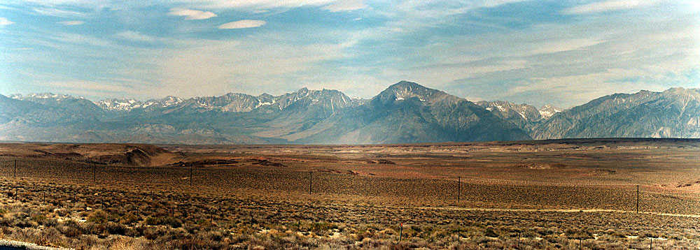
| Chalfant Valley |
|
 |
|
 |
|
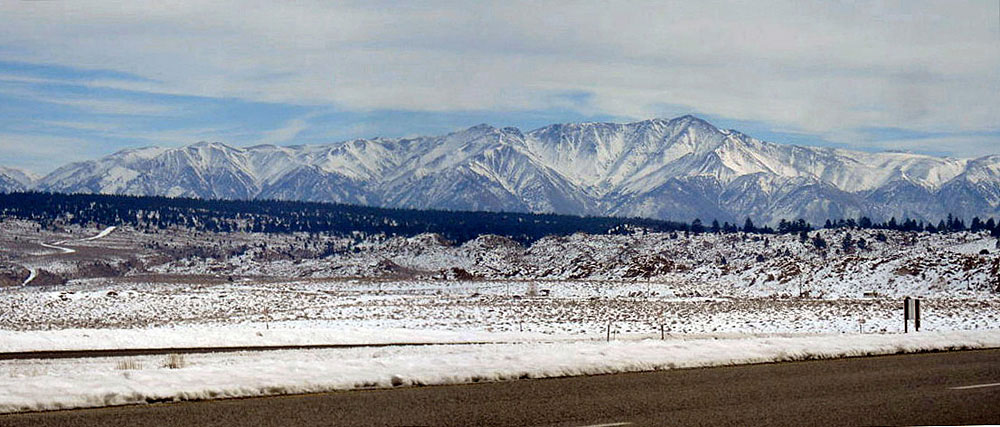
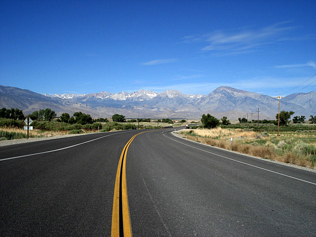
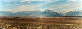
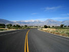
Sierra Nevada Mountains and
Chalfant Valley from US 6 |
|
White Mountain Peak
from Chalfant Valley |
|
|
|
|
| Owens Valley |
|
 |
|
 |
|
 |
|
Mount Tom and West
Line Street (CA 168), Bishop |
|
White Mountain Peak and
US 6 from Wye Road, Bishop |
|
Sierra Nevada and Owens
Valley from US 6 |
|
|
|
|
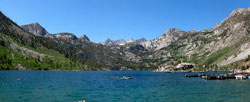
| Sabrina Basin |
|
|
|
 |
|
|
 |
|
 |
|
|
|
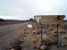
Sabrina Basin Trailhead
(Sabrina Lake Trailhead) from
Lake Sabrina Road (CA 168) |
|
Lake Sabrina |
|
|
|
|
|
|
|
|
|
|
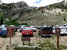
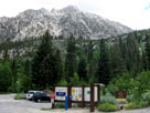
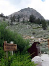
| Onion Valley |
|
 |
|
 |
|
 |
|
Onion Valley
(Onion Valley Roadend) |
|
Independence Peak,
Robinson Lake Falls and
Onion Valley Campground |
|
Kearsarge Pass
Trailhead |
|
|
|
|
| Owens Valley [Cont'd] |
|
 |
|
 |
|
Inyo Mountains, Owens
Valley and Lone Pine from
Horseshoe Meadows Road |
|
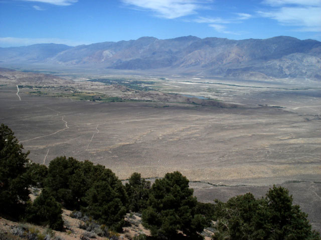
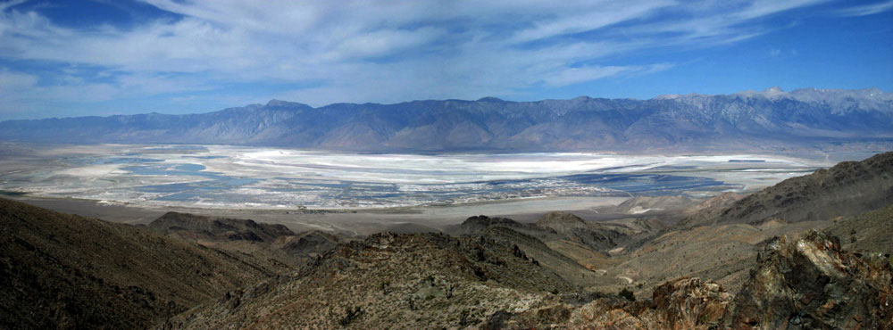
Owens Valley (Owens Lake)
from Cerro Gordo Road |
|
|
|
|
|
|
|
|
|
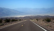
| Eureka Valley |
|
 |
|
 |
|
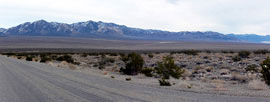
Last Chance Range and Eureka Valley
from Big Pine Road (Death Valley Road) |
|
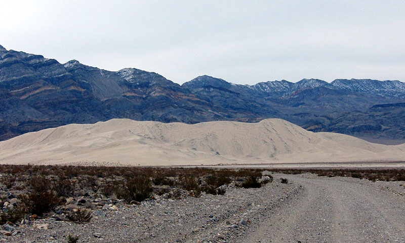
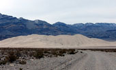
Eureka Sand Dunes
and South Eureka Road |
|
|
|
|
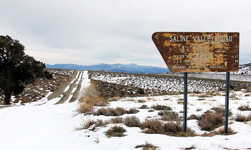
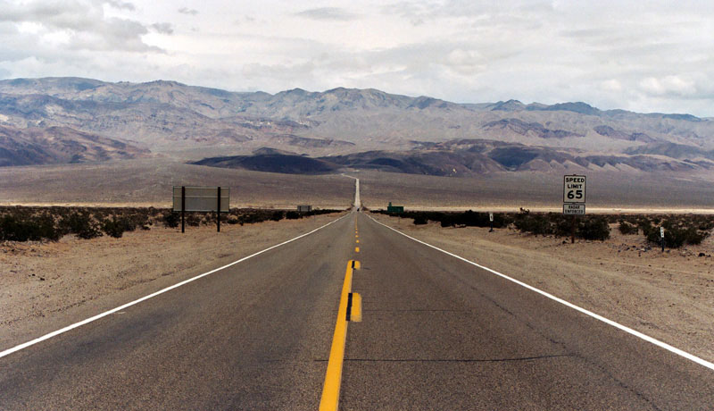
| Saline Valley |
|
 |
|
 |
|
Saline Valley Road
from Death Valley Road |
|
Saline Valley Road
off Highway 190 |
|
|
|
|
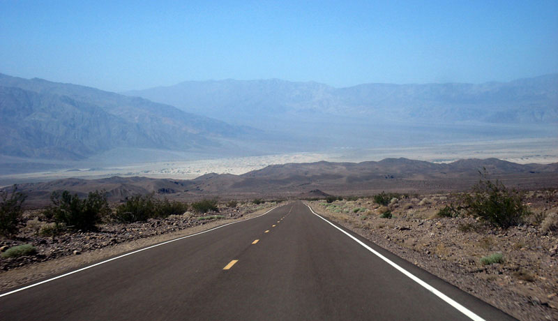
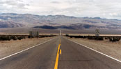
| Panamint Valley |
|
 |
|
 |
|
Panamint Range and Panamint Valley
from Father Crowley Vista |
|
Panamint Range, Panamint Valley
and CA 190 (east) |
|
|
|
|
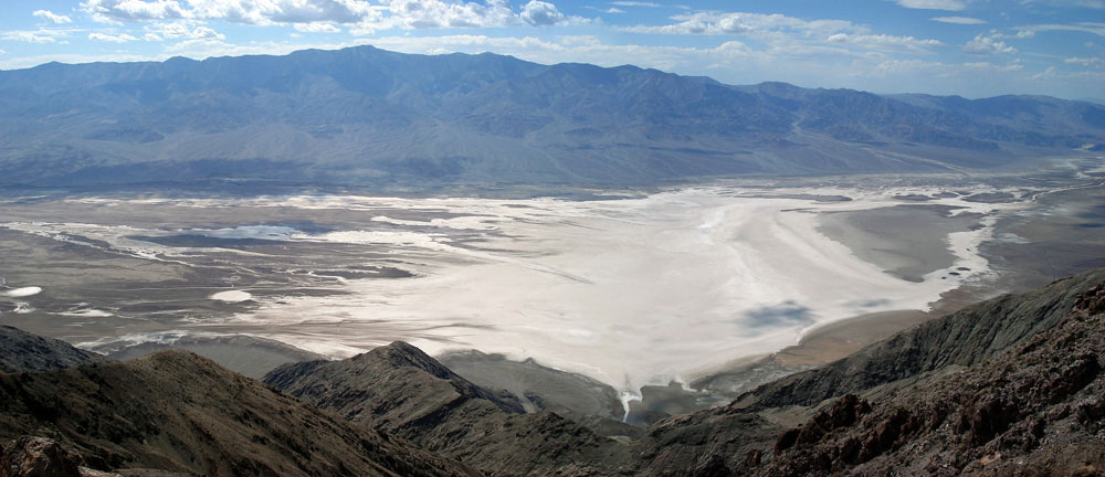
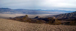
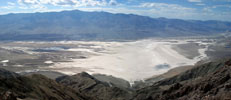
| Death Valley |
|
 |
|
 |
|
Death Valley from
Daylight Pass Road |
|
Death Valley from Dante's View |
|
|
|
|
| Canyons & Gorges [Photo Galleries] |
|
 |
|
 |
|
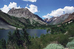
Gilcrest Peak, Lundy
Canyon and Lundy Lake |
|
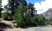
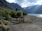
Lakes Canyon Trailhead
and Lundy Lake |
|
|
 |
|
 |
|
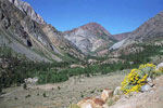
Tioga Peak and
Lee Vining Canyon |
|
Mount Morrison and
Convict Canyon from
Convict Creek Trailhead |
|
|
|
|
| See also |
|
|
|
|