| Highways of Eastern Sierra |
 |
|
|
|
|
|
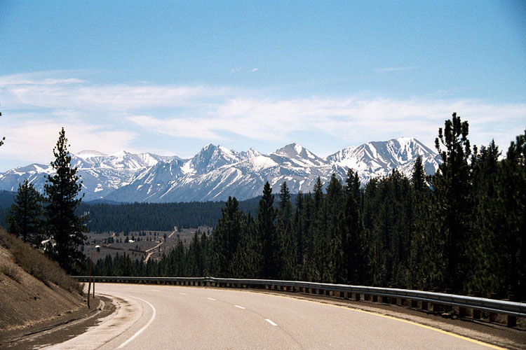
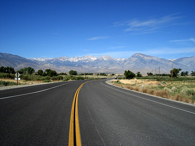
| Highway 395 (U.S. Route 395) |
|
 |
|
 |
|
 |
|
|
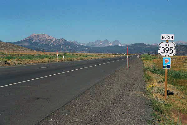
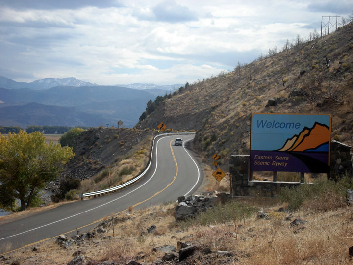
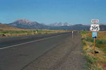
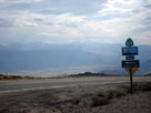
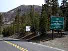
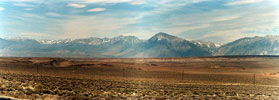
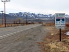
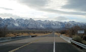
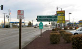
North end of Eastern
Sierra Scenic Byway
near Topaz Lake |
|
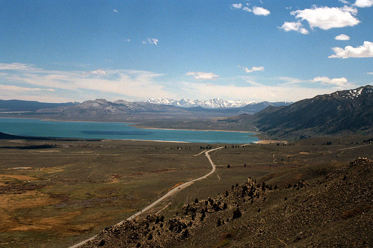
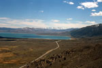
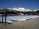
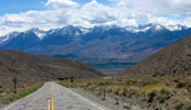
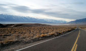
Mono Lake and Highway
395 from Mono Lake Vista
near Conway Summit |
|
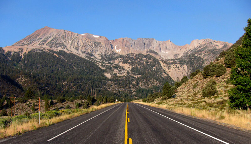
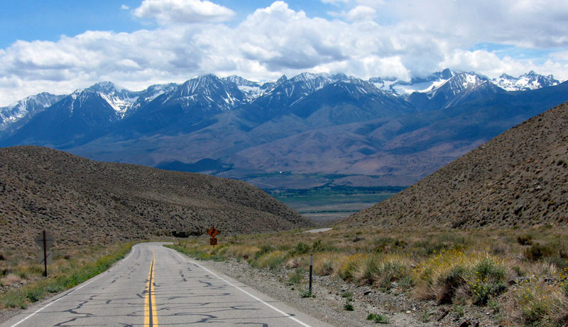
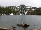
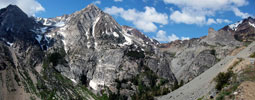
Mount Morrison
and Laurel Mountain |
|
|
|
 |
|
 |
|
 |
|
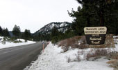
Mammoth Mountain
and Ritter Range |
|
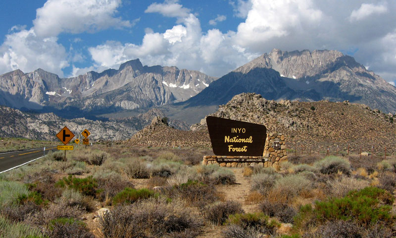
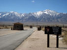
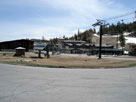
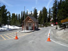
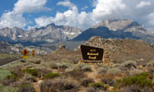
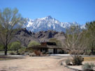
Manzanar National
Historic Site entrance |
|
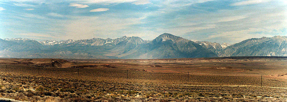
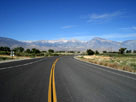
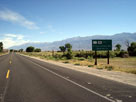
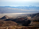
South end of Eastern
Sierra Scenic Byway
near Little Lake |
|
|
|
|
| Highway 89 (California State Route 89) |
|
 |
|
 |
|
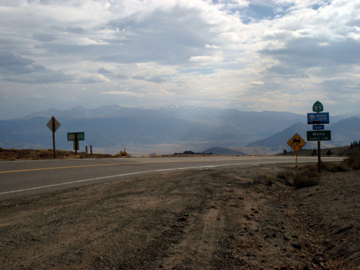
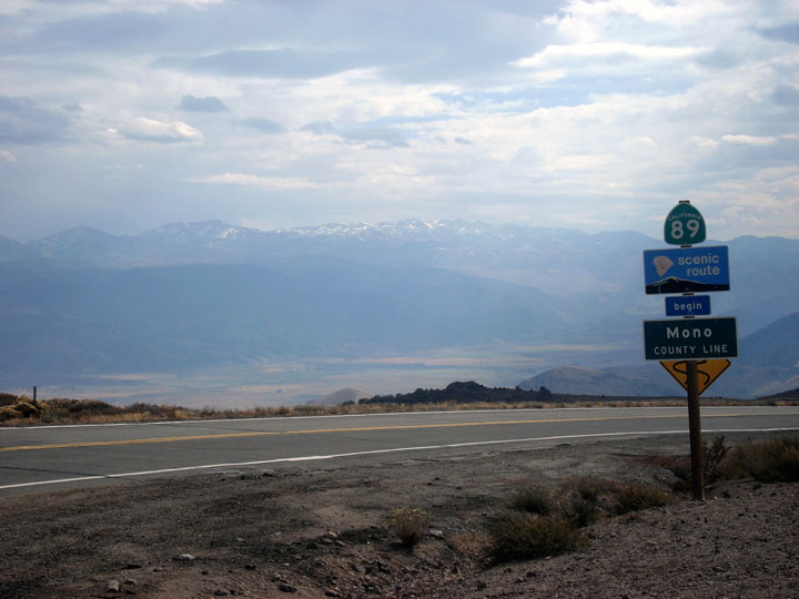
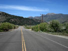
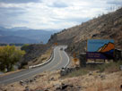
Antelope Valley and Highway 89 (south)
from near Monitor Pass |
|
|
|
|
| Highway 88 (California State Route 88) |
|
 |
|
 |
|
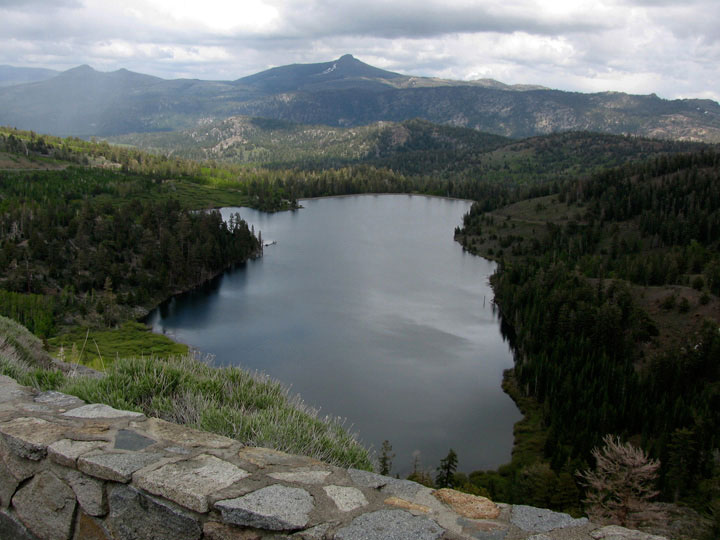
Red Lake from
Highway 88 |
|
Carson Pass and
Highway 88 (west) |
|
|
|
|
| Highway 4 (California State Route 4) |
|
 |
|
 |
|
 |
|
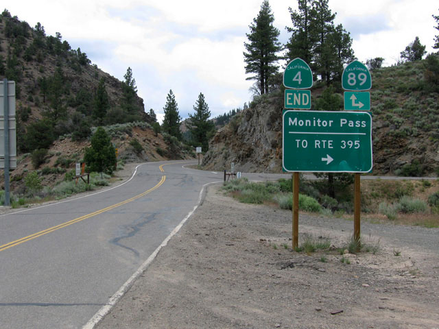
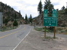
| Highway 89 junction |
|
Kinney Reservoir |
|
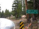
Ebbetts Pass and
Highway 4 (west) |
|
|
|
|
| Highway 108 (California State Route 108) |
|
 |
|
 |
|
 |
|
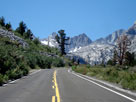
Highway 108 from
Sonora Junction |
|
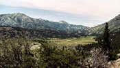
Leavitt Meadows from
Leavitt Falls Vista Point |
|
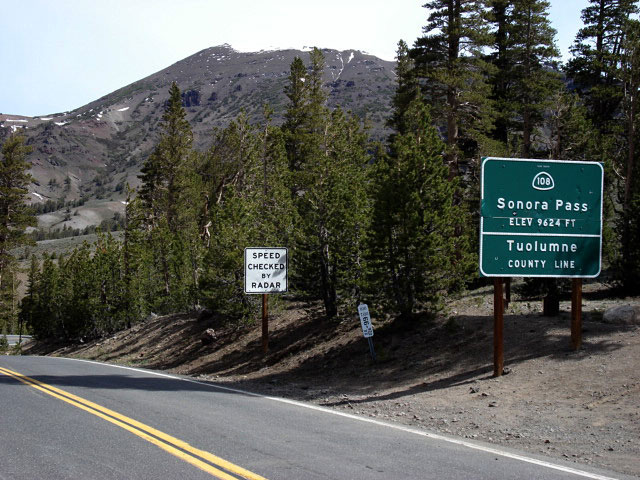
Sonora Peak
and Sonora Pass |
|
|
|
|
| Highway 182 (California State Route 182) |
|
| Forthcoming... |
|
|
|
|
| Highway 270 (California State Route 270) |
|
| Forthcoming... |
|
|
|
|
| Highway 167 (California State Route 167) |
|
| Forthcoming... |
|
|
|
|
| Highway 120 (California State Route 120) West |
|
 |
|
 |
|
 |
|
Mount Dana, Dana Crest
and Highway 120 (west) |
|
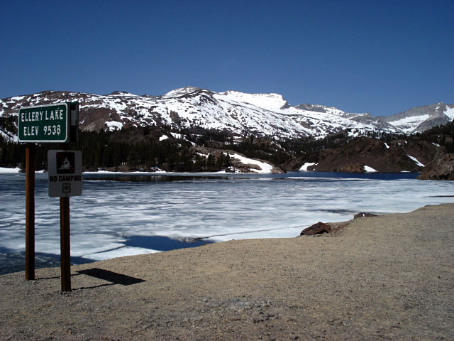
White Mountain
and Ellery Lake |
|
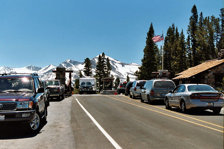
Highway 120 and
Tioga Pass Entrance,
Yosemite National Park |
|
|
|
|
| Highway 120 (California State Route 120) East |
|
 |
|
 |
|
 |
|
Mono Lake and
Highway 120 (Test
Station Road junction) |
|
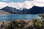
Mono Lake (Mono Basin
National Scenic Area) |
|
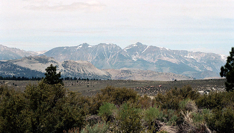
Mt. Gibbs and Mt. Dana
from Sagehen Summit |
|
|
|
|
| Highway 158 (California State Route 158) |
|
 |
|
 |
|
 |
|
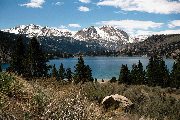
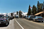
June Lake from
Highway 158 |
|
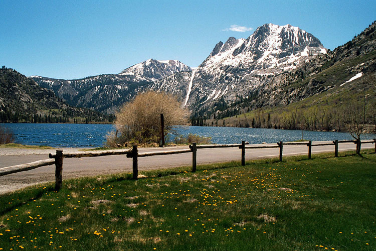
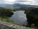
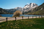
Silver Lake |
|
Grant Lake |
|
|
|
|
| Highway 203 (California State Route 203) |
|
 |
|
 |
|
 |
|
Highway 203 to
Mammoth Lakes |
|
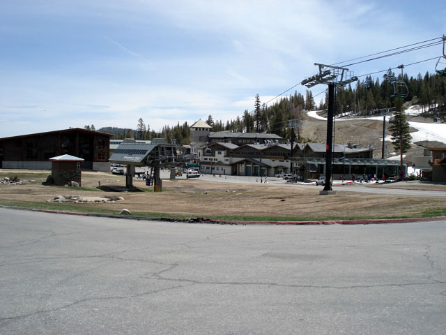
Mammoth Mountain
Ski Area |
|
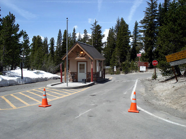
Minaret Summit and
Ansel Adams Wilderness
entrance station |
|
|
|
|
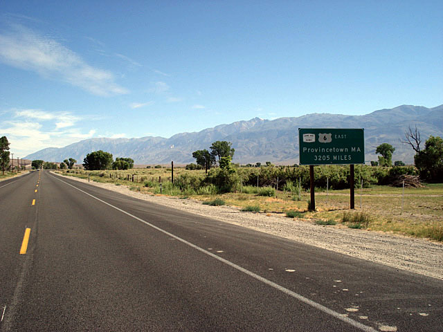
| Highway 6 (U.S. Route 6) |
|
 |
|
 |
|
 |
|
Mount Humphreys,
Basin Mountain
and Mount Tom |
|
White Mountains
and Highway 6 |
|
Sierra Nevada Mountains
from Highway 6 |
|
|
|
|
| Highway 168 (California State Route 168) West |
|
 |
|
 |
|
 |
|
Mount Tom from West Line
Street (CA 168), Bishop |
|
Mount Humphreys and Basin
Mountain from Highway 168 |
|
Highway 168 (west)
above Jawbone Canyon |
|
|
|
|
| Highway 168 (California State Route 168) East |
|
 |
|
 |
|
 |
|
Highway 168 (east)
off Highway 395 |
|
The Palisades from
Highway 168 |
|
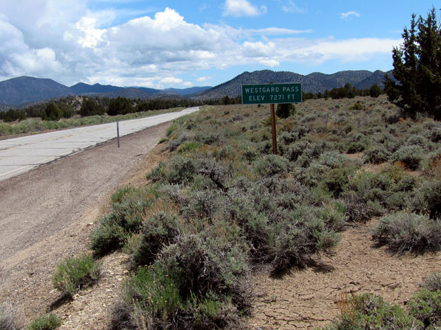
Westgard Pass |
|
|
|
|
| Highway 136 (California State Route 136) |
|
 |
|
 |
|
 |
|
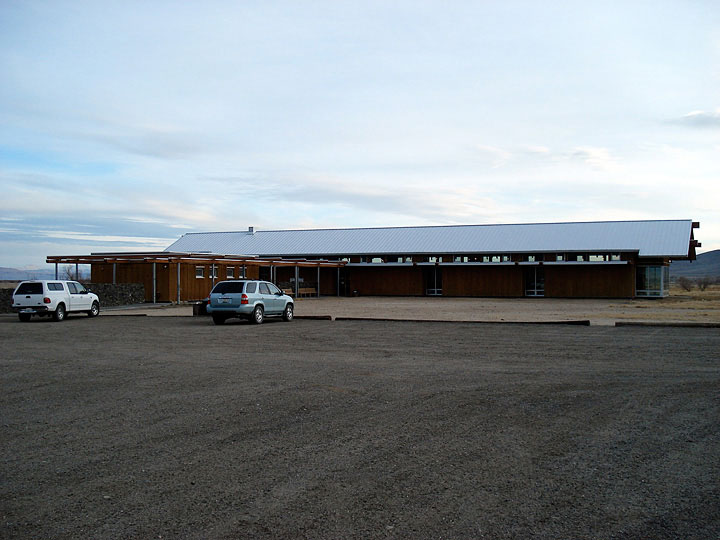
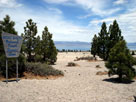
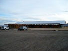
Eastern Sierra Interagency
Visitor Center
off Highway 136 |
|
Lone Pine Peak
and old Visitor Center |
|
Sierra Nevada Mountains
and Highway 136
crossing Owens River |
|
|
|
|
| Highway 190 (California State Route 190) |
|
 |
|
 |
|
 |
|
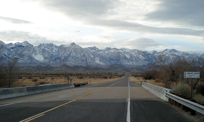
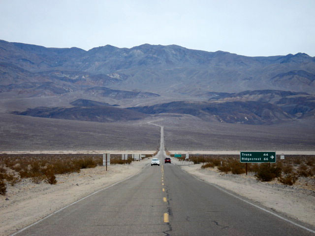
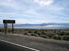
Sierra Nevada Mountains,
Owens Lake and Highway 190 |
|
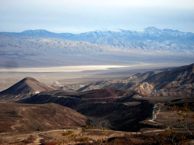
Panamint Valley and
Highway 190 from
Father Crowley Vista |
|
Panamint Range
and Highway 190 |
|
|
|
|
| Highway 14 (California State Route 14) |
|
| Forthcoming... |
|
|
|
|
| Highway 178 (California State Route 178) East |
|
 |
|
 |
|
|
|
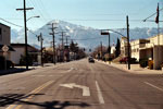
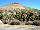
Inyokern and
Highway 178 (east) |
|
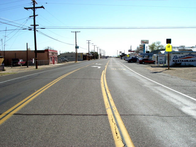
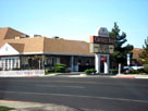
Carriage Inn, Ridgecrest
and Highway 178 |
|
|
|
|
|
| Highway 178 (California State Route 178) West |
|
 |
|
 |
|
 |
|
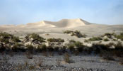
California Desert
Conservation Area |
|
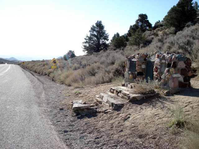
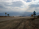
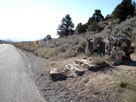
Walker Pass National
Historic Landmark |
|
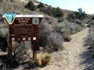
Pacific Crest Trail
(north) at Walker Pass |
|
|
|
|
| Highway 58 (California State Route 58) |
|
 |
 |
|
|
 |
|
 |
|
 |
|
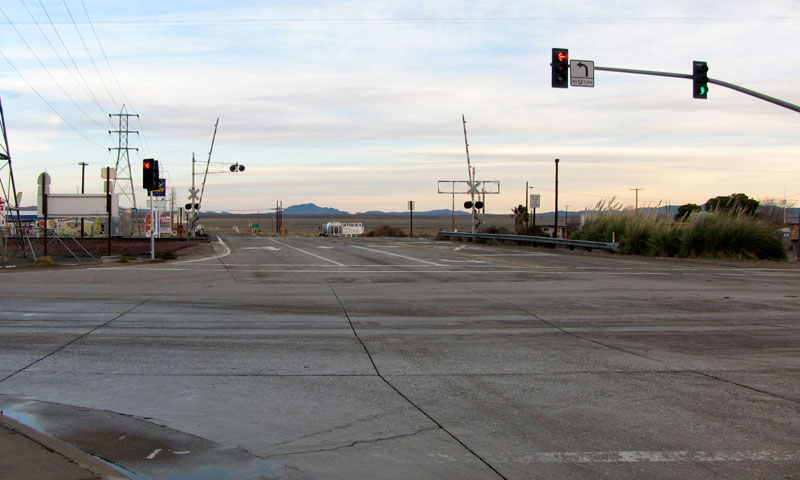
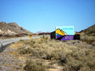
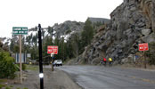
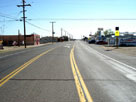
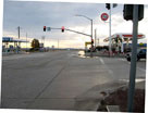
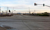
| CA 58 and U.S. 395 at Kramer Junction |
|
U.S. 395 and CA 58
(Kramer Junction) |
|
|
|
|
| Scenic Byways [Photo Galleries] |
|
 |
|
 |
|
Eastern Sierra
Scenic Byway |
|
Lee Vining Canyon Scenic Byway |
|
|
|
|
 |
|
Ancient Bristlecone
Scenic Byway |
|
Death Valley Scenic Byway |
|