| Parks & Reserves of Eastern Sierra |
 |
| Original photo collection of sceneries in and around Parks and Reserves (National Parks, National Preserves, National Monuments, National Forests, Wilderness Areas, State Parks, State Reserves, etc.), located in Eastern Sierra, the eastern side of Sierra Nevada Mountains (California/Nevada, USA). |
|
|
|
|
|
|
|
 |
|
 |
|
 |
|
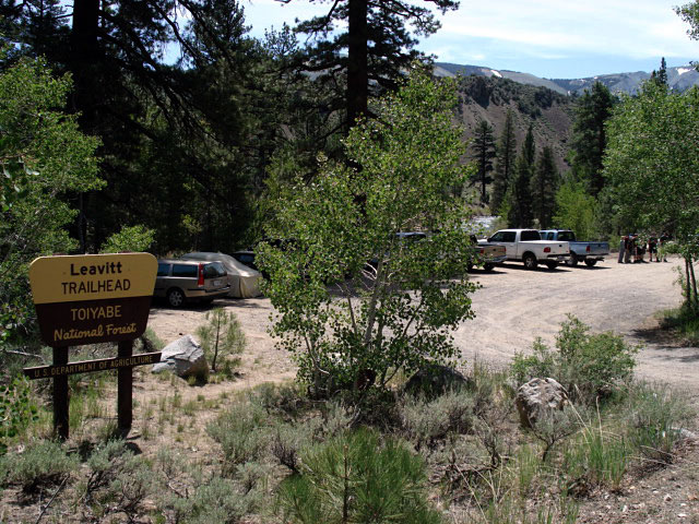
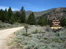
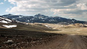
Sonora Bridge
Campground entrance |
|
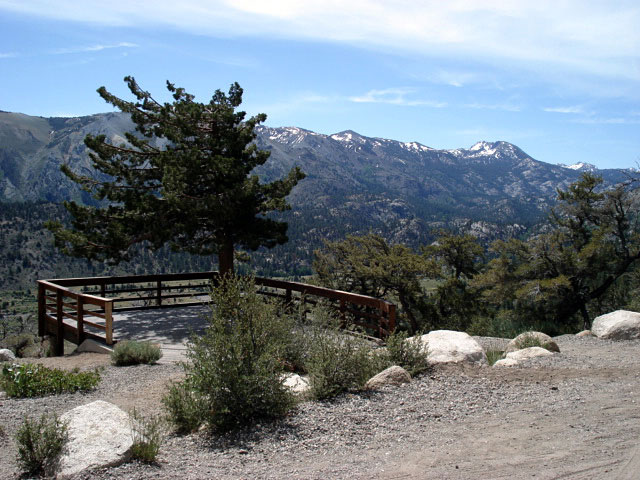
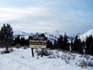
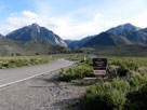
Twin Lakes
Recreation Area |
|
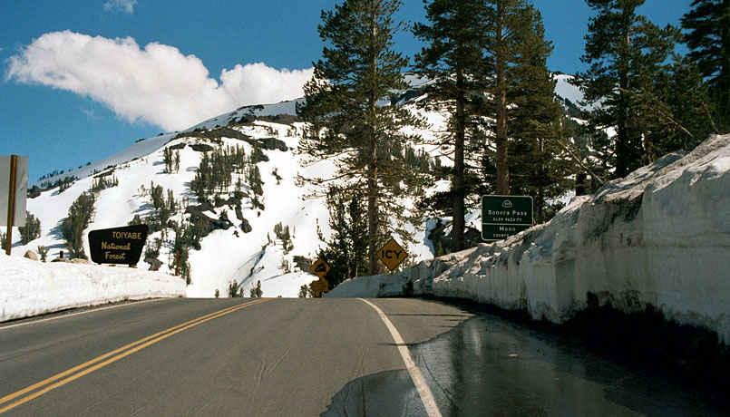
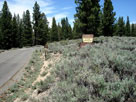
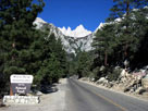
Crags Campground
entrance |
|
|
|
|
|
|
|
|
|
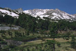
| Hoover Wilderness |
|
 |
|
 |
|
 |
|
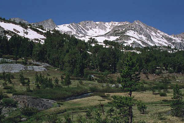
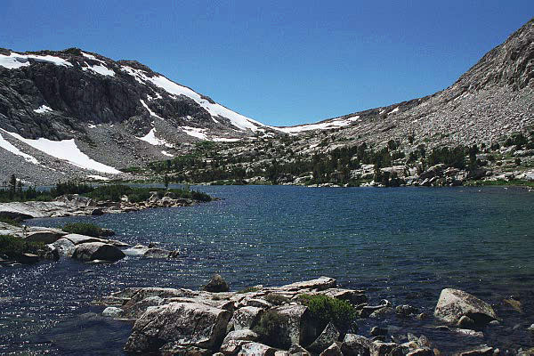
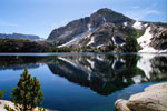
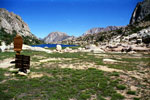
Crown Point
and Barney Lake |
|
Crown Point
and Peeler Lake |
|
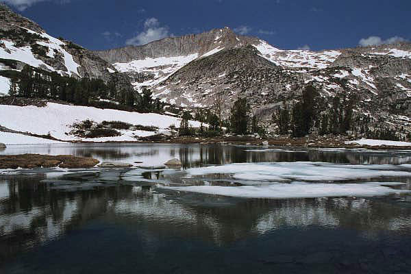
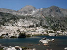
Kettle Peak and Snow Lake
from Rock Island Pass |
|
|
 |
|
 |
|
 |
|
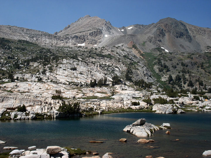
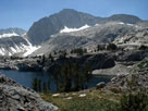
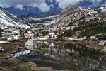
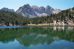
North Peak and
Greenstone Lake |
|
Noth Peak and
Steelhead Lake |
|
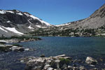
Shepherd Crest
and Cascade Lake |
|
|
|
|
|
|
|
|
|
|
|
|
|
|
| Inyo National Forest |
|
 |
|
 |
|
 |
|
Tioga Peak and Tioga
Pass Rd from Tioga Pass |
|
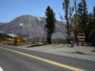
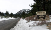
CA State Route 203
to Mammoth Lakes |
|
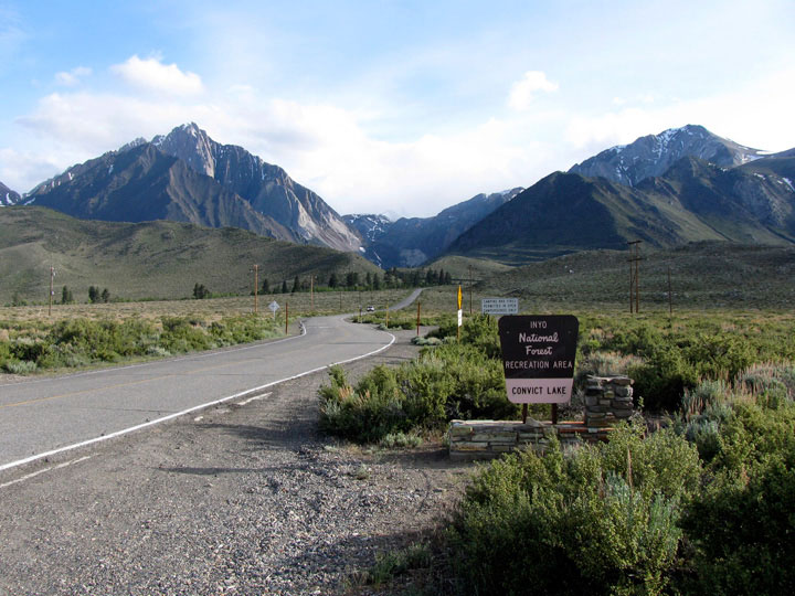
Mount Morrison and
Convict Lake Road |
|
|
 |
|
 |
|
 |
|
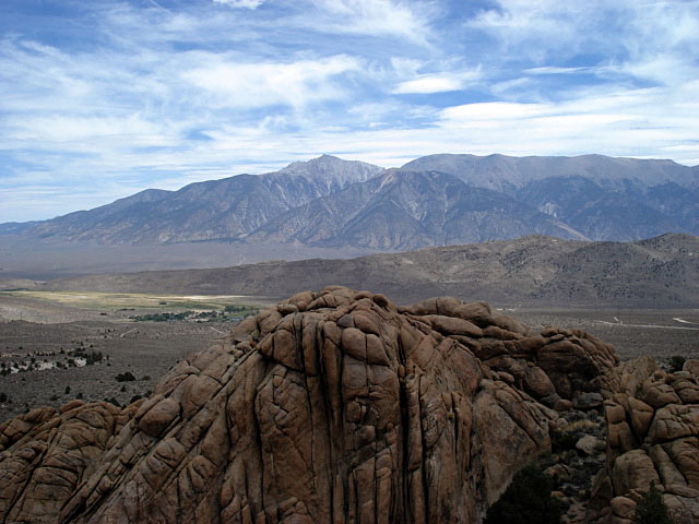
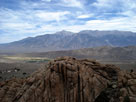
Sierra View and
White Mountain Road |
|
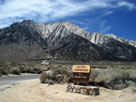
Lone Pine Peak from
Lone Pine Campground
entrance |
|
Mount Whiteny and
Whiteny Portal Road |
|
|
|
|
|
|
|
 |
|
 |
|
 |
|
White Mountain
and Lee Vining Creek |
|
Mt. Conness (southeast peak)
and Lake 10,040+ |
|
Mt. Conness (southeast peak)
and Green Treble Lake |
|
|
|
|
| Ansel Adams Wilderness |
|
 |
|
 |
|
Mt. Gibbs and Mt. Dana
from Highway 395 |
|
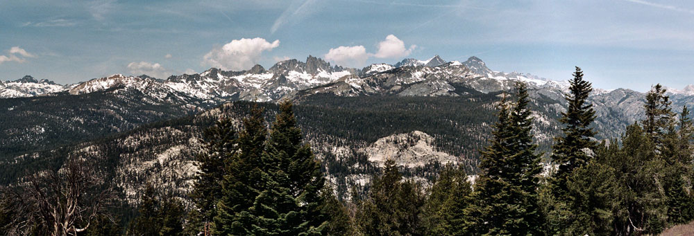
Ritter Range from Minaret Vista near Minaret Summit |
|
|
|
|
|
|
|
|
|
|
|
|
 |
|
 |
|
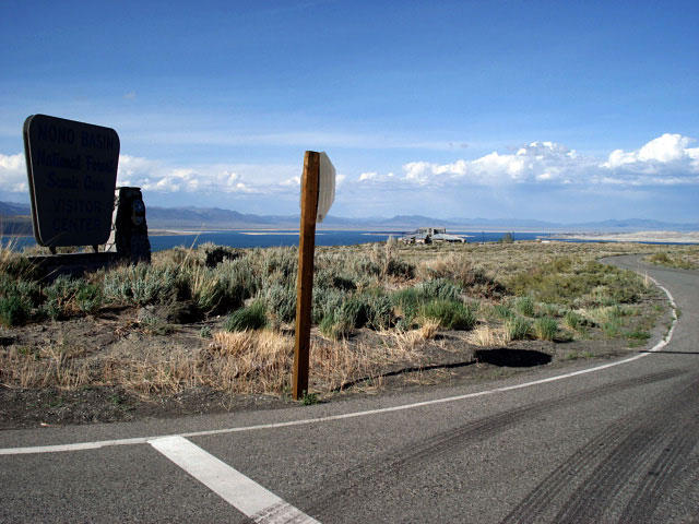
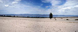
Mono Lake (Mono Basin)
from CA State Route 120 |
|
|
|
|
|
|
|
|
 |
|
 |
|
 |
|
|
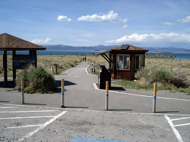
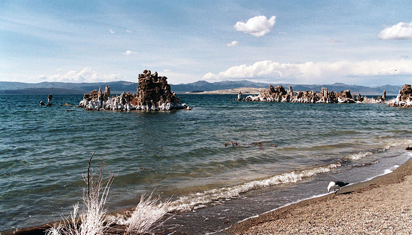
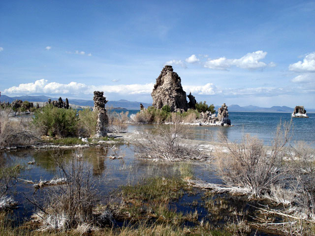
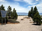
| Mono Lake South Tufa |
|
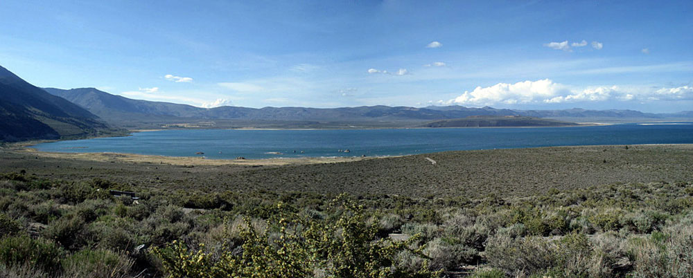
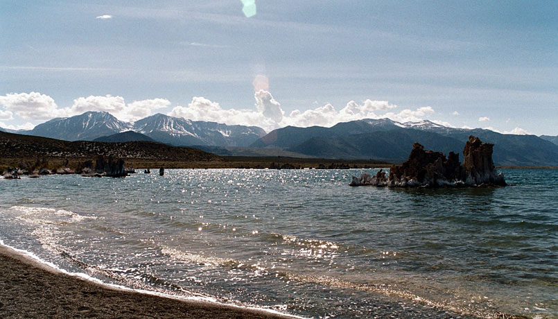
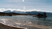
Mount Gibbs, Mount
Dana and Mono Lake |
|
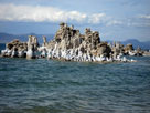
Mono Lake South Tufa |
|
|
|
|
| John Muir Wilderness |
|
 |
|
 |
|
 |
|
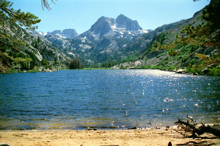
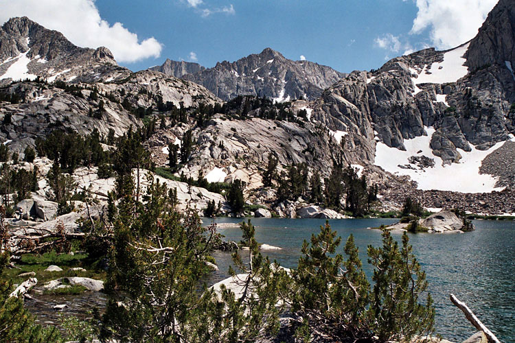
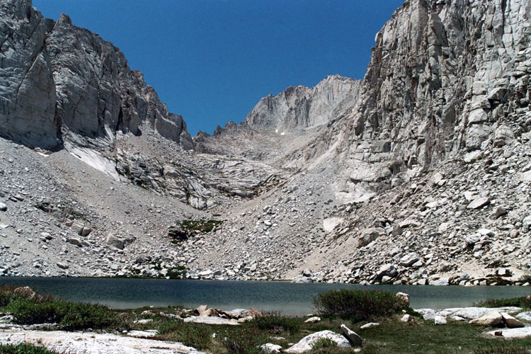
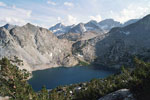
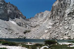
Bear Creek Spire, Mt. Dade,
Mt. Abbot and Ruby Lake |
|
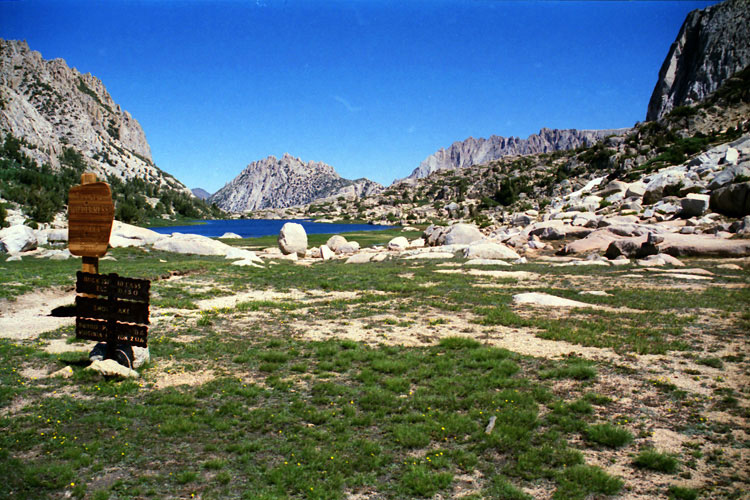
Piute Pass and Piute Lake |
|
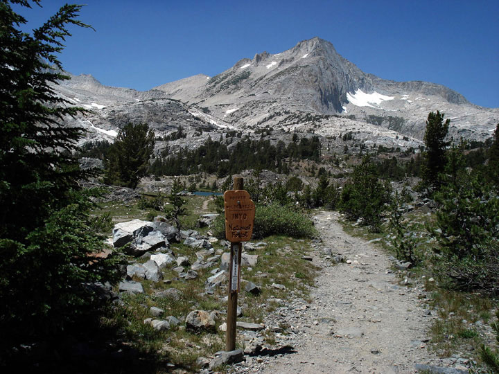
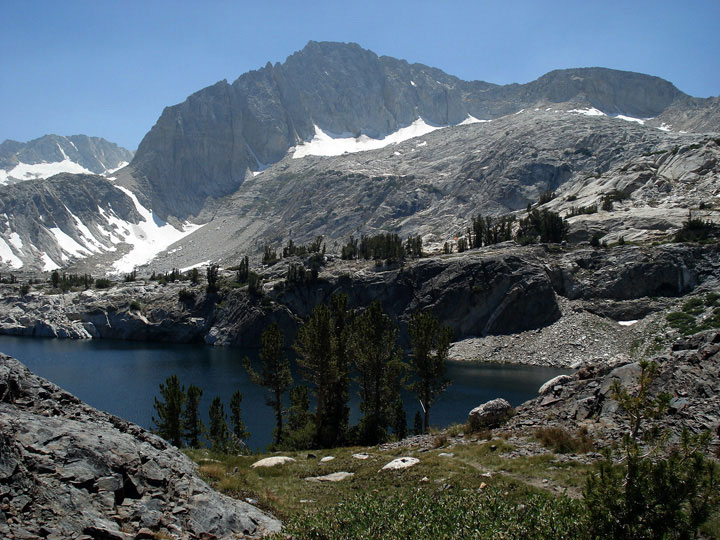
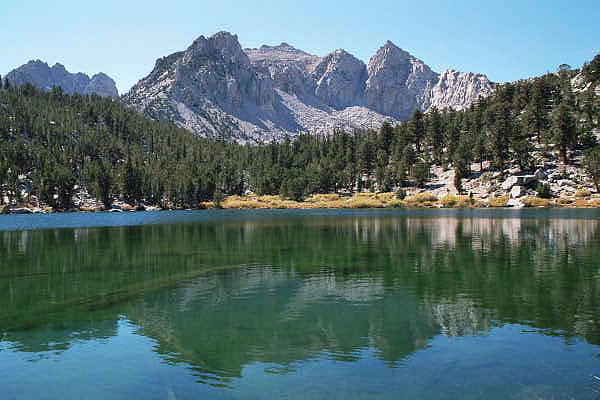
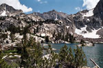
Mt. Goode and Mt. Johnson
from Lowest Treasure Lake
(Treasure Lakes) |
|
|
 |
|
 |
|
 |
|
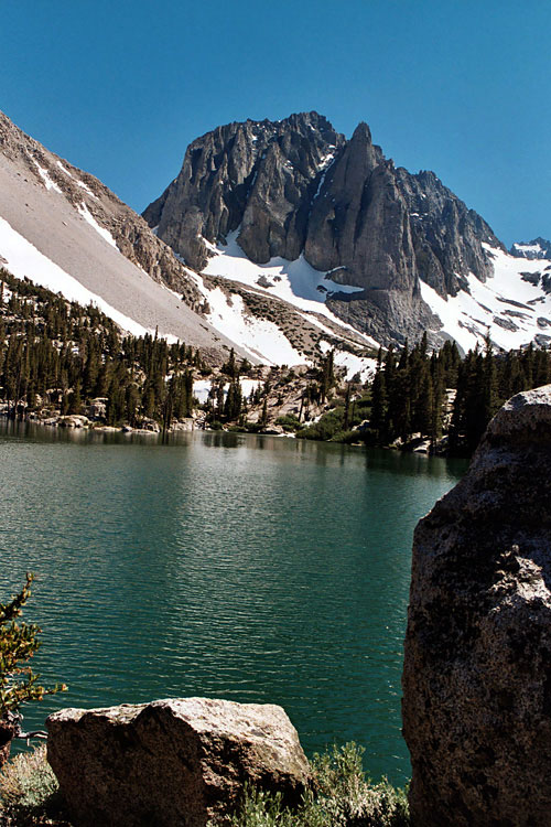
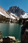
Temple Crag
and First Lake of
Big Pine Lakes |
|
Nameless Pyramid
and Gilbert Lake |
|
Mount Russell and
Upper Boy Scout Lake |
|
|
|
|
|
|
|
|
|
|
|
|
|
|
| White Mountains Wilderness |
|
 |
|
 |
|
 |
|
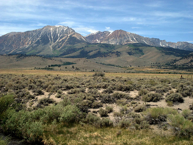
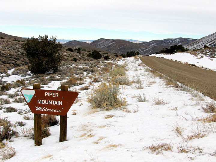
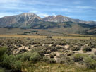
White Mountains
(Montgomery Peak)
from CA State Route 120 |
|
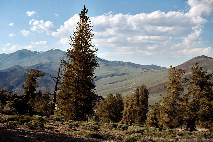
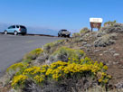
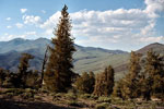
White Mountains and
White Mountain Road |
|
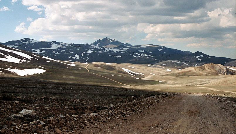
White Mountain Peak
from White Mountain Road |
|
|
|
|
|
|
|
 |
|
 |
|
 |
|
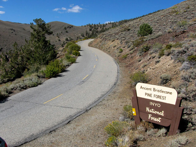
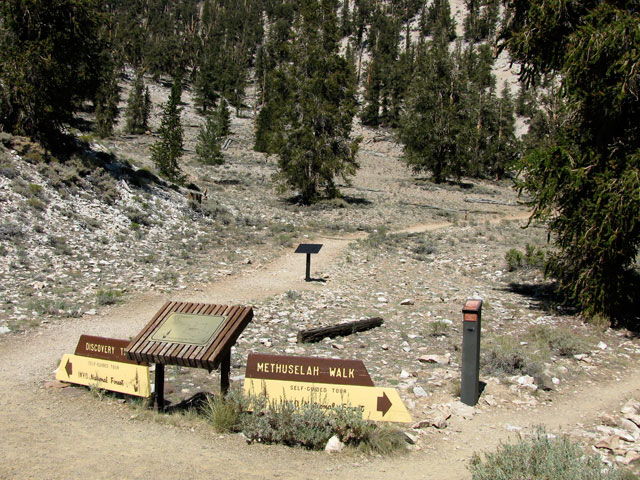
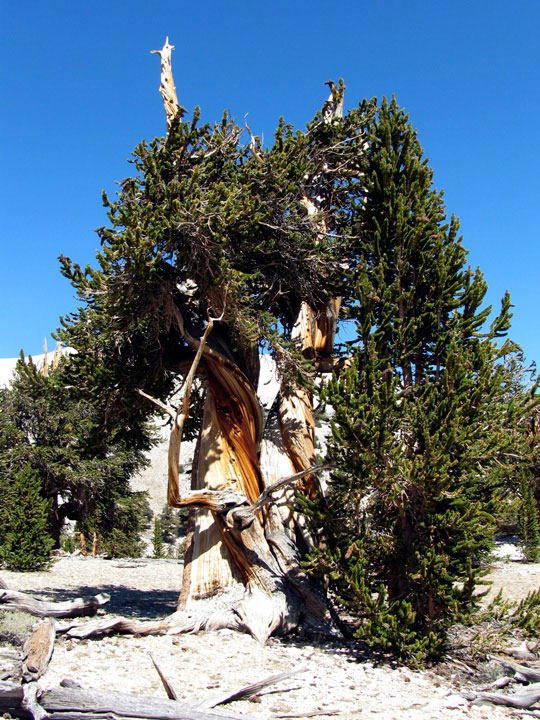
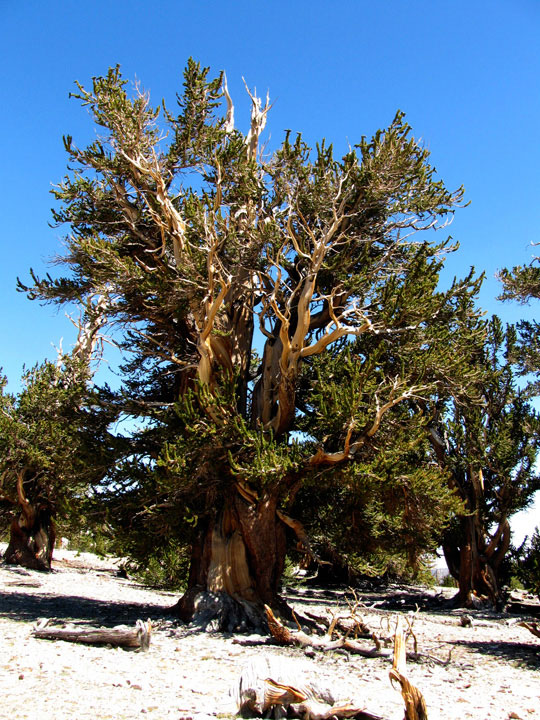
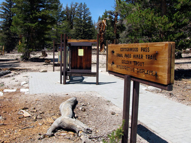
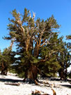
Bristlecone pines from
Timberline Ancients Nature Trail |
|
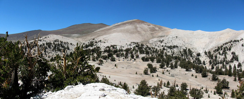
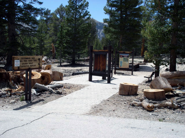
Cottonwood Basin and Patriarch Grove
from Cottonwood Basin Overlook Trail |
|
|
|
|
| Big Pine Triangle County Park |
|
 |
|
 |
|
 |
|
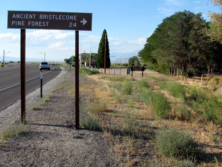
Highway 395 (north),
Highway 168 and Big
Pine Triangle County Park |
|
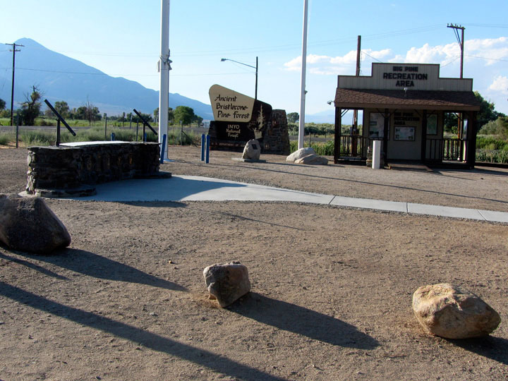
Big Pine Triangle
County Park |
|
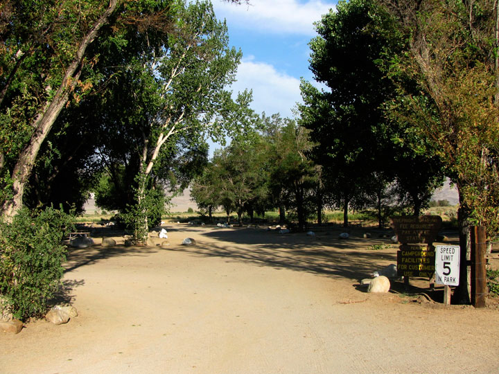
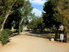
Glacier View Campground |
|
|
|
|
|
|
|
|
|
|
|
|
|
|
|
|
|
|
|
|
|
|
 |
|
 |
|
 |
|
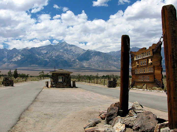
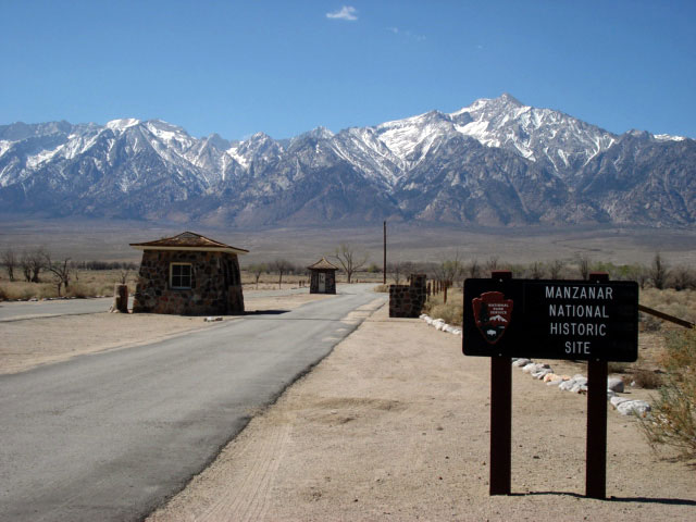
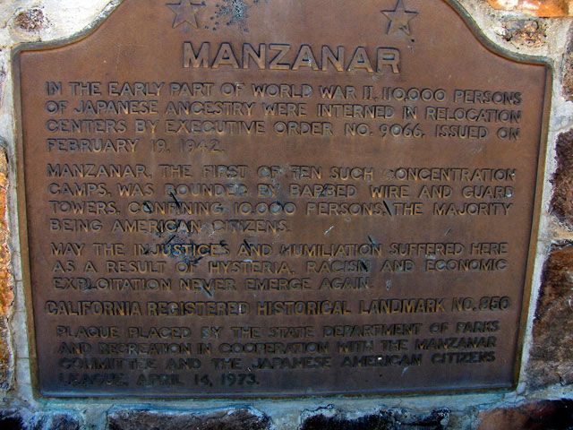
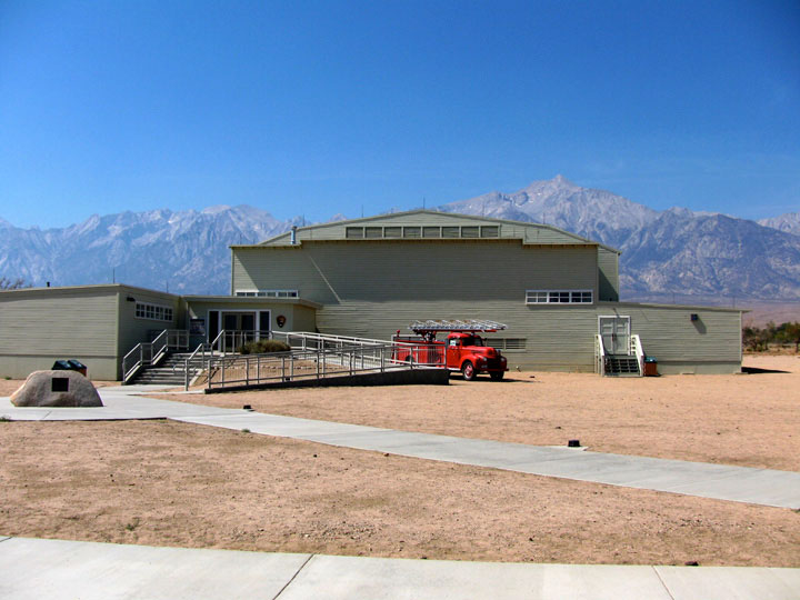
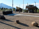
Visitor Center
(Interpretive Center) |
|
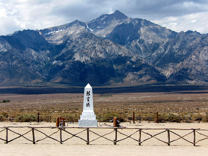
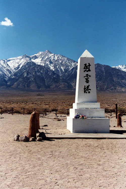
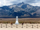
Mount Williamson
and Manzanar Cemetery |
|
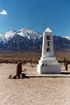
Soul Consoling
Tower |
|
|
|
|
|
|
|
|
|
|
|
|
|
|
|
|
|
|
|
|
|
|
|
|
|
|
|
|
|
|
|
|
|
|
|
|
|
 |
|
 |
|
 |
|
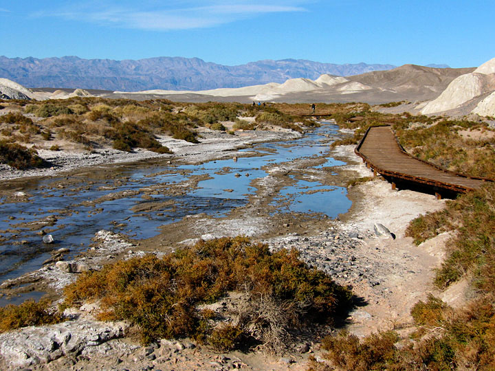
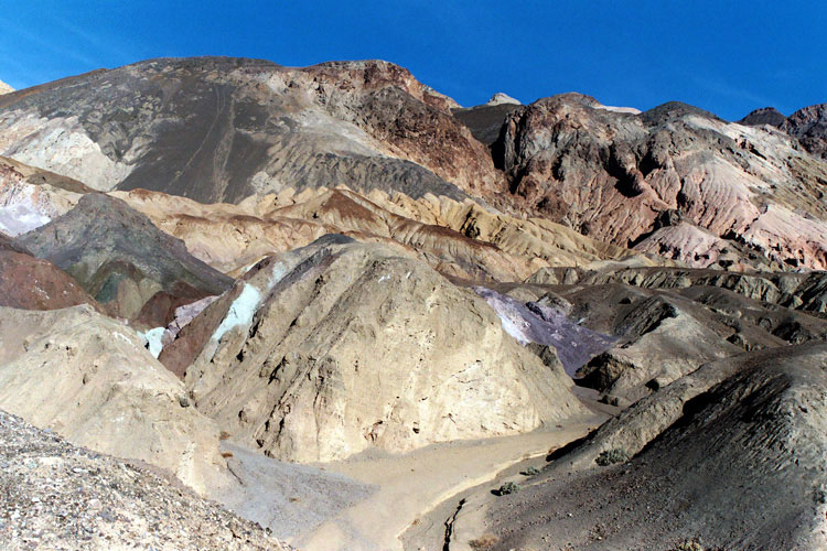
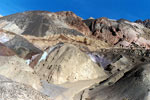
Artist's Palette
(Artist Drive) |
|
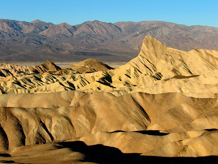
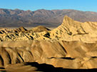
Zabriskie Point |
|
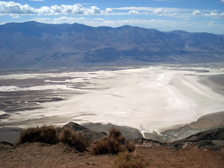
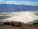
Panamint Range
and Death Valley
from Dante's View |
|
|
 |
|
 |
|
 |
|
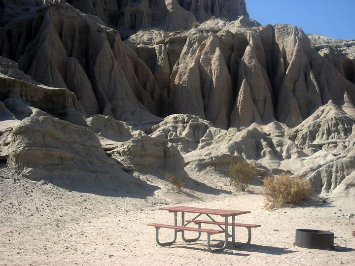
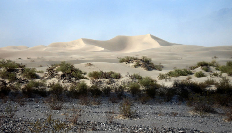
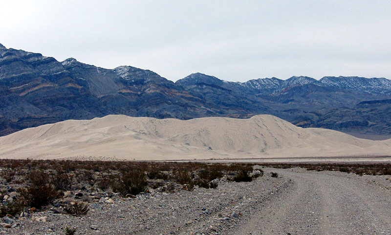
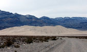
Last Chance Range
and Eureka Sand Dunes |
|
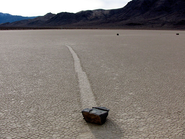
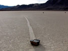
Moving Rocks
(The Racetrack) |
|
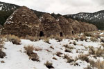
Charcoal Kilns
(Wildrose) |
|
|
|
|
|
|
|
|
|
|
|
|
|
|
| See also |
|
|
|
|