| アラバマ・ヒルズ & マンザナール (Day 2) |
 |
|
|
|
|
|
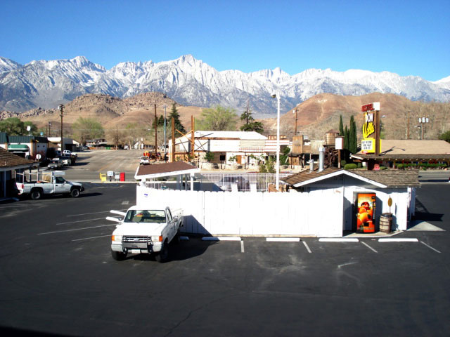
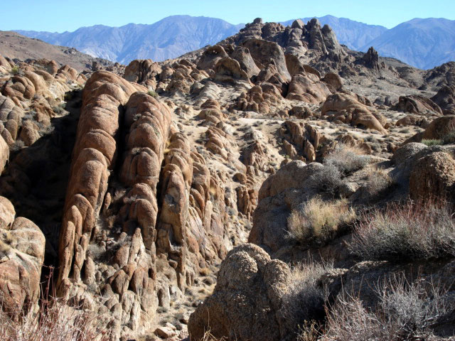
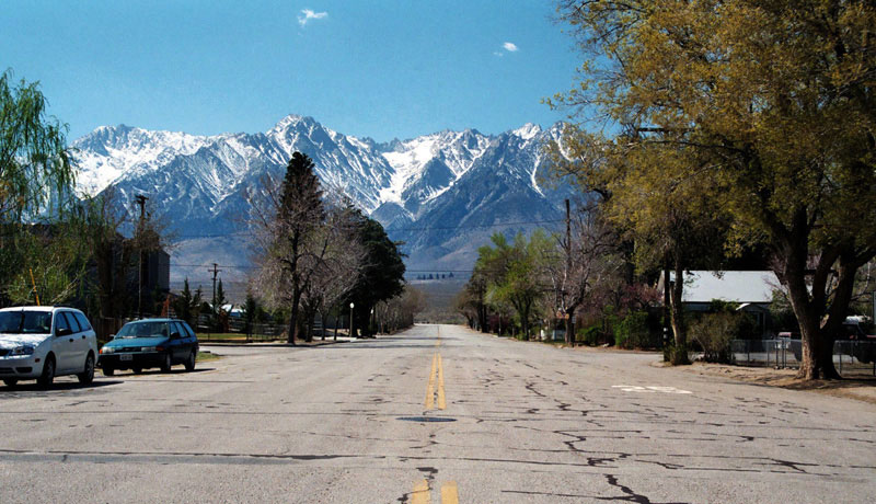
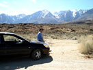
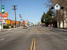
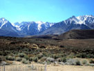
| Lone Pine |
|
 |
|
|
|
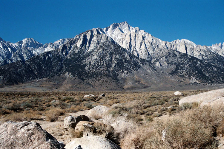
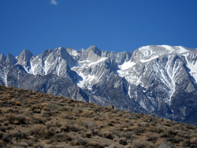
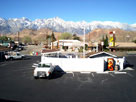
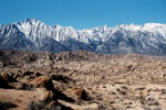
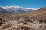
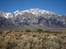
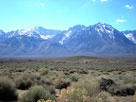
Mt. Langley, Lone Pine
Peak and Mt. Whitney
from Dow Villa Motel |
|
|
|
|
|
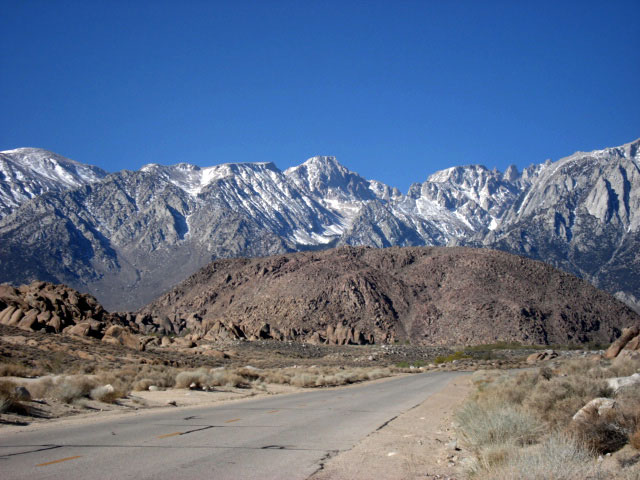
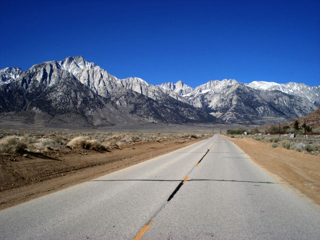
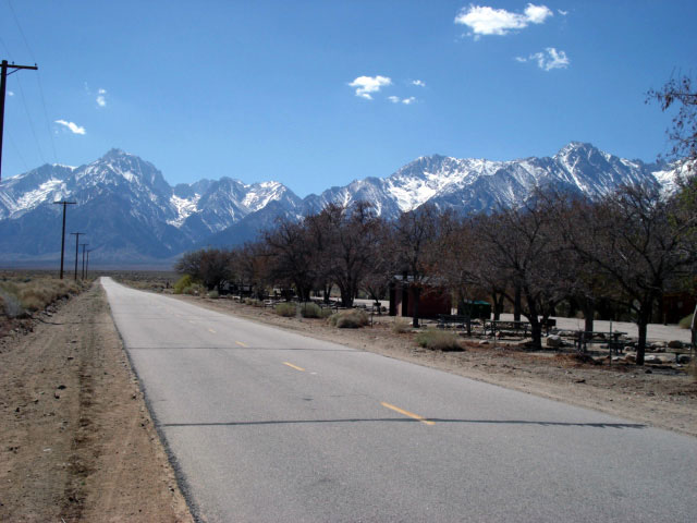
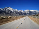
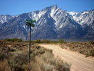
| Whitney Portal Road |
|
 |
|
 |
|
 |
|
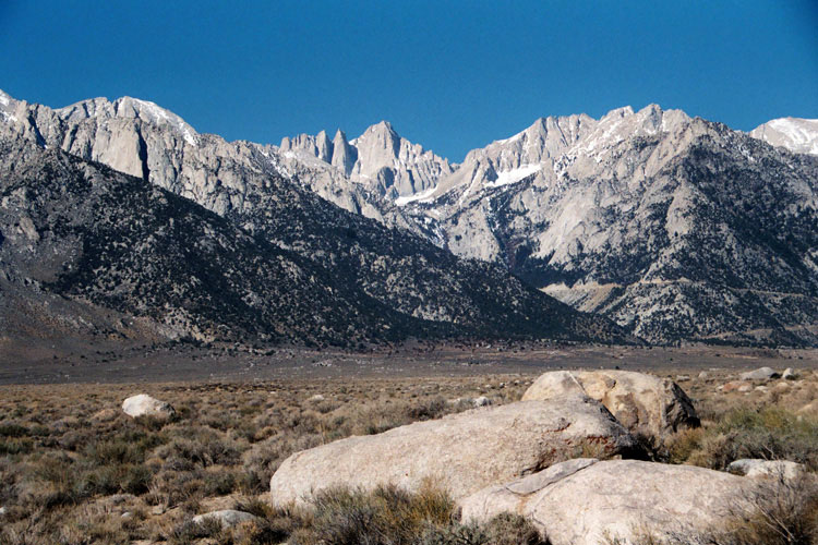
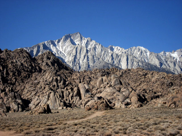
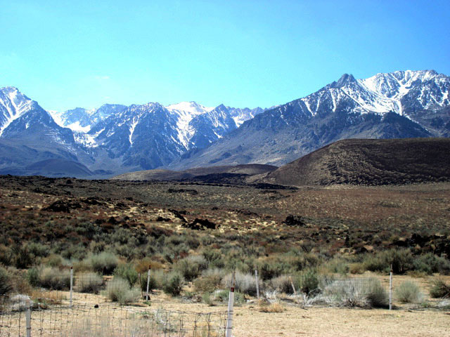
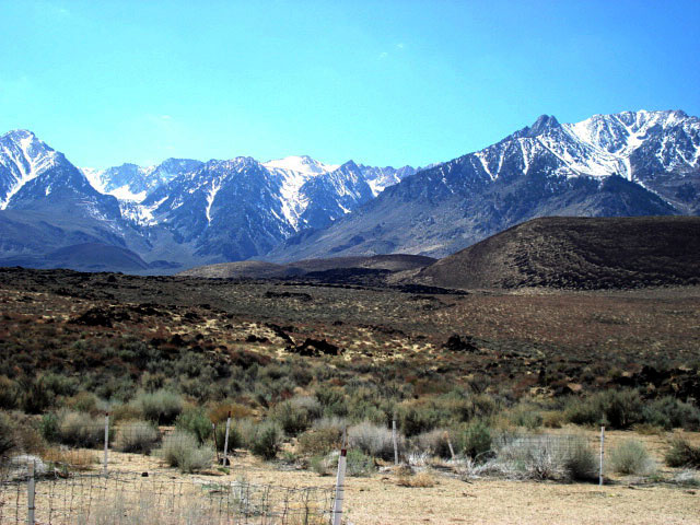
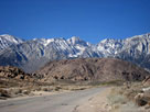
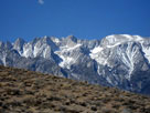
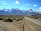
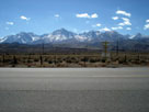
Mount Langley and
Whitney Portal Road |
|
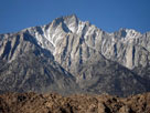
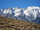
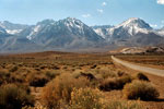
Mount Whitney and seiries of peaks
to Mount Williamson |
|
|
|
|
 |
|
|
Mount Whitney and seiries of peaks
to Mount Williamson |
|
|
 |
|
 |
|
|
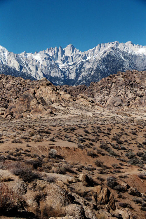
Lone Pine Peak,
Mount Whitney and
Whitney Portal Road |
|
|
 |
|
 |
|
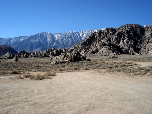
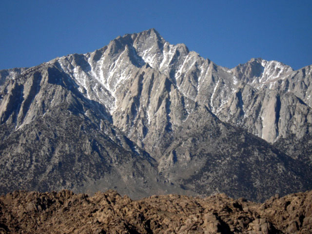
| Lone Pine Peak |
|
Mount Whitney |
|
|
|
|
|
|
|
 |
|
 |
|
| Lone Pine Peak |
|
Mount Whitney |
|
|
|
|
|
|
|
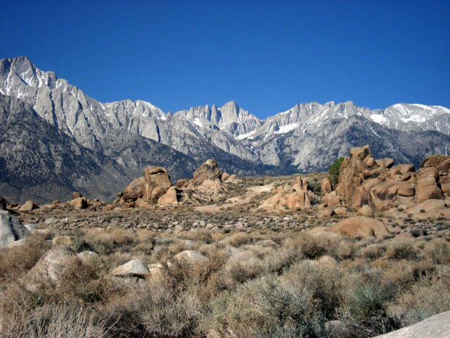
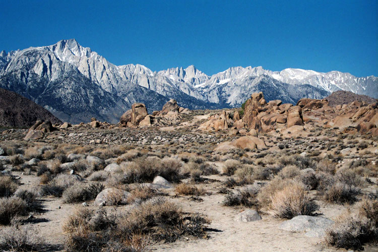
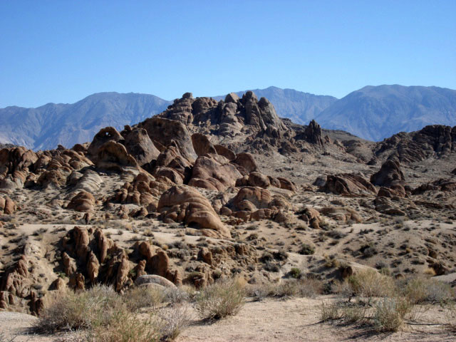
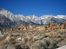
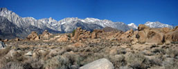
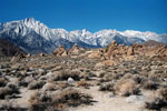
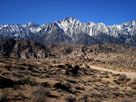
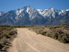
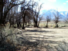
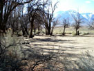
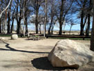
| Alabama Hills (Alabama Hills Recreation Area) |
|
 |
|
 |
|
|
|
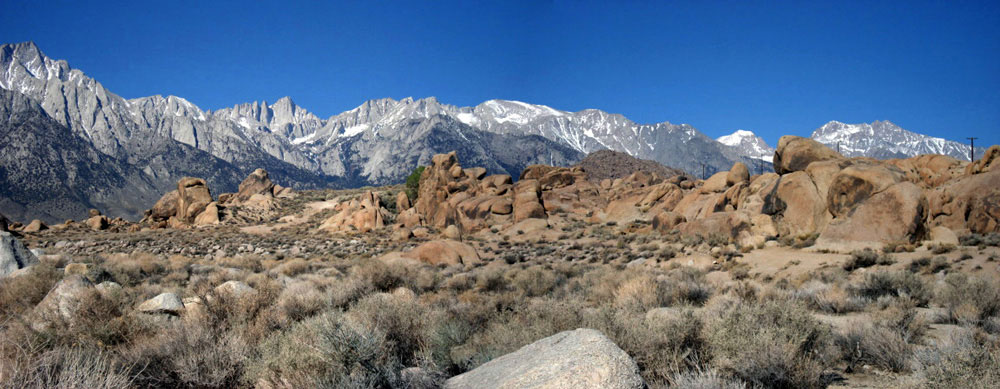
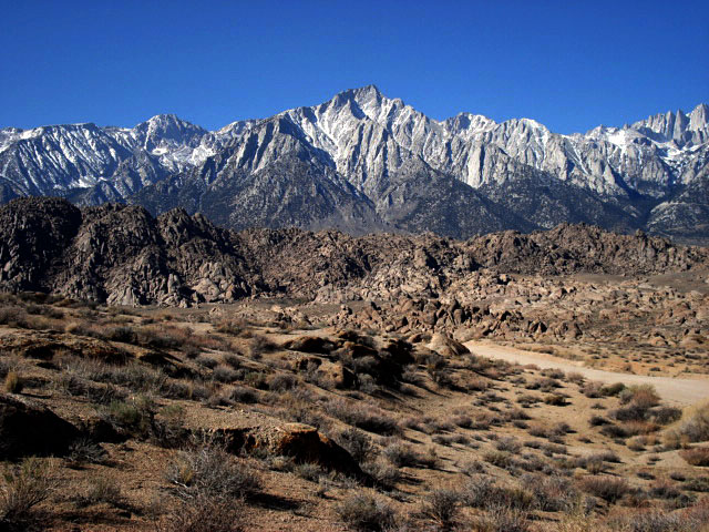
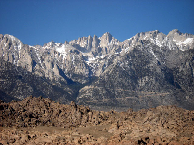
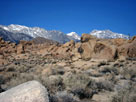
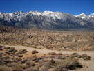
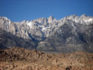
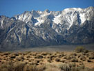
| Lone Pine Peak |
|
Mount Whitney and
series of peaks to north |
|
|
|
 |
|
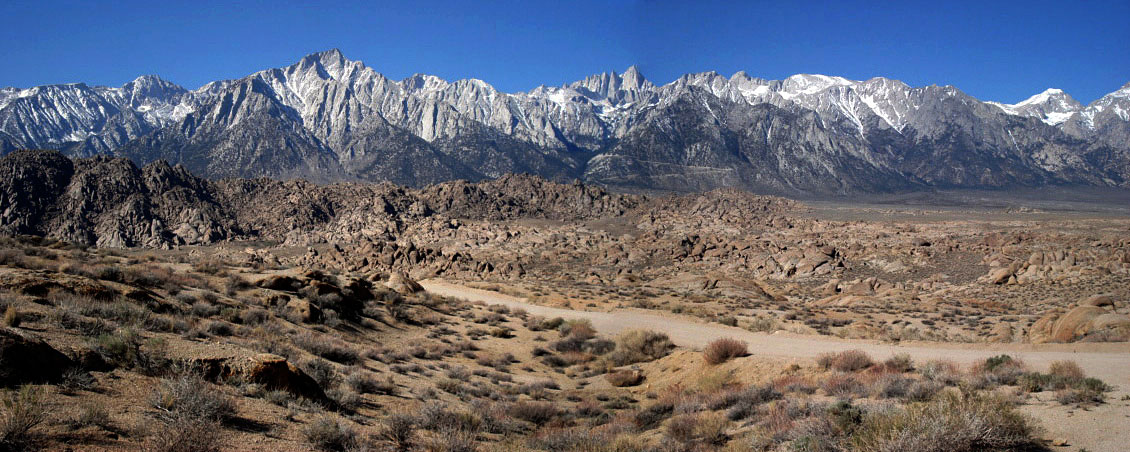
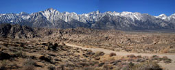
Lone Pine Peak, Mount Whitney
and series of peaks to north |
|
|
 |
|
 |
|
|
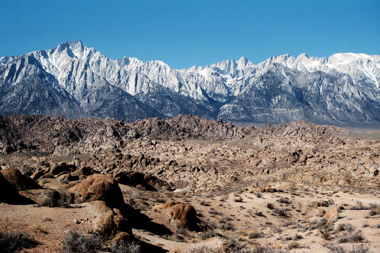
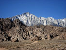
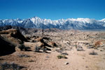
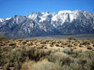
Lone Pine Peak
and Mount Whitney |
|
|
 |
|
 |
|
| Lone Pine Peak |
|
Mount Whitney |
|
|
|
|
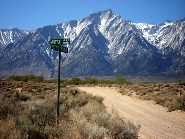
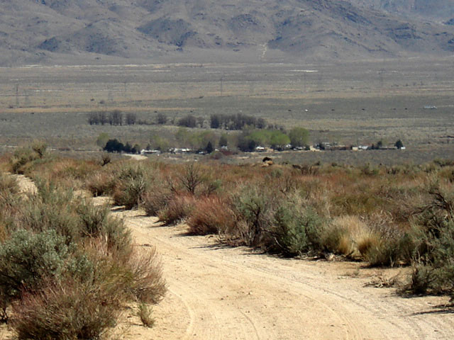
| Moffat Ranch Road |
|
 |
|
 |
|
 |
|
| Moffat Ranch Roadend |
|
Mount Williamson |
|
|
 |
|
 |
|
| Mount Whitney and Mount Carillon (?) |
|
|
|
|
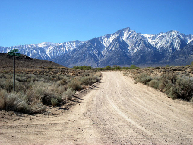
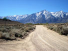
| Movie Road & Moffat Ranch Road |
|
 |
|
 |
|
 |
|
| Lone Pine Peak and Movie Road |
|
|
|
 |
|
 |
|
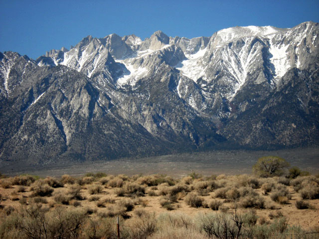
| Mount Carillon (?) from Moffat Ranch Road |
|
|
 |
|
 |
|
| Mount Carillon (?) |
|
Mount Williamson |
|
|
|
|
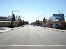
| Lone Pine |
|
 |
|
 |
|
| Highway 395 north |
|
Highway 395 south |
|
|
|
|
|
|
|
 |
|
 |
|
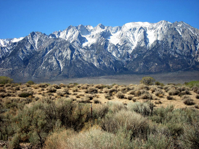
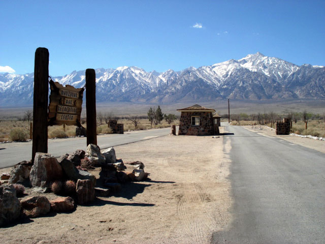
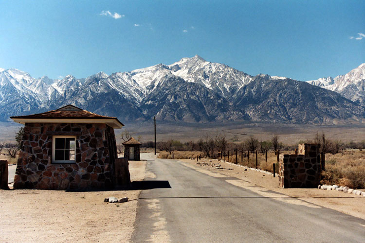
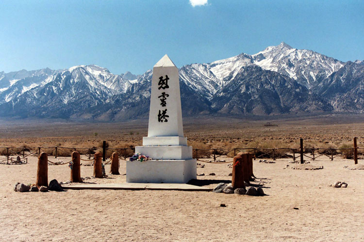
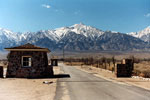
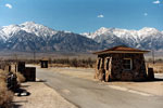
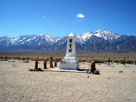
| Mount Williamson and restored Sentry Posts |
|
|
|
|
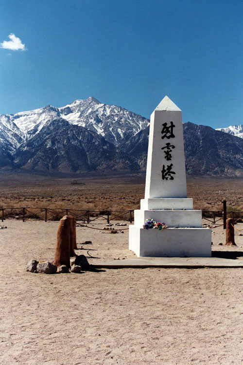
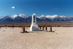
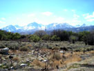
| Manzanar Cemetery |
|
 |
|
 |
|
 |
|
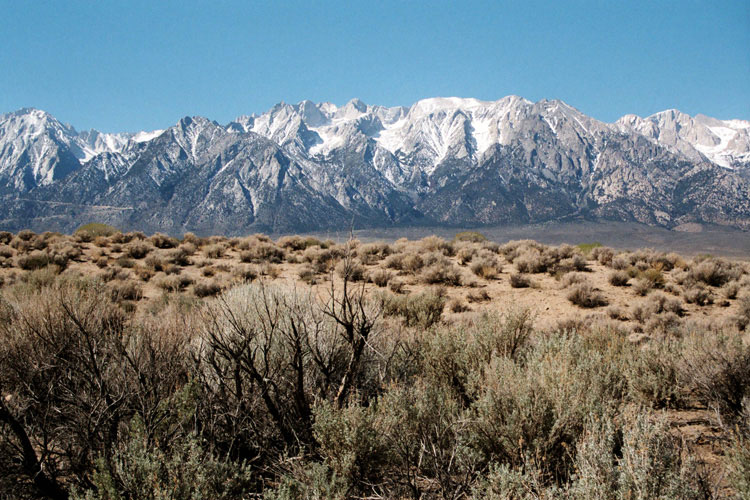
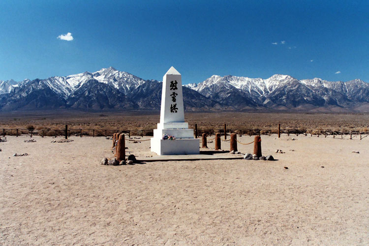
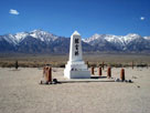
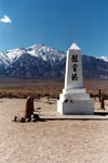
| Mount Williamson and Soul Consoling Tower |
|
|
|
 |
|
 |
|
 |
|
|
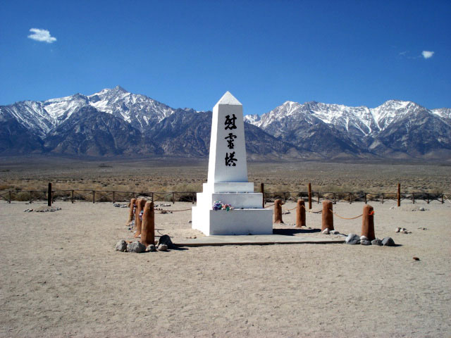
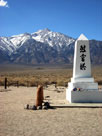
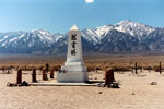
Mount Williamson and Soul Consoling Tower |
|
|
|
|
|
|
|
|
|
| Goodale Road |
|
 |
|
 |
|
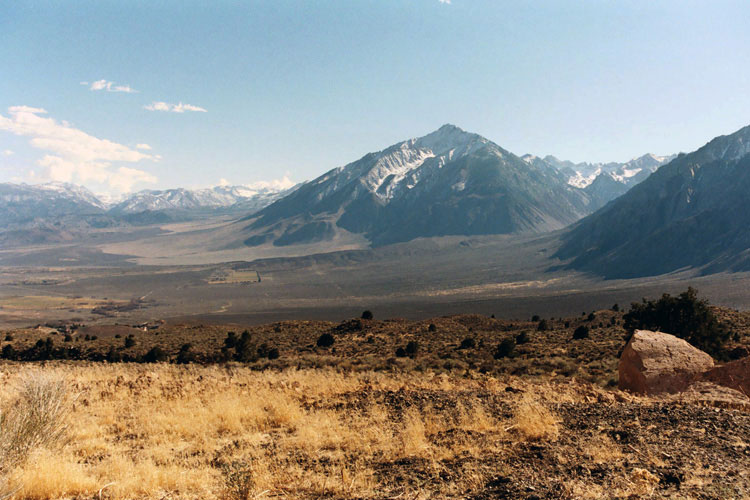
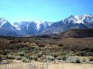
| Sierra Nevada from Goodale Road |
|
|
|
|
|
|
|
|
|
|
|
|
| Tinnemaha Road |
|
| No photos |
|
|
|
|
| Taboose Creek Campground (Taboose Campground) |
|
| No photos |
|
|
|
|
| Tinnemaha Creek Campground (Tinnemaha Campground) |
|
 |
|
 |
|
|
|
| Tinnemaha Creek Campground |
|
|
|
 |
|
 |
|
| Tinnemaha Creek Campground |
|
|
|
|
| Fuller Road |
|
 |
|
 |
|
 |
|
|
Split Mountain, Mount Tinemaha and Birch Mountain
from Fuller Road |
|
|
|
|
| Big Pine |
|
 |
|
 |
|
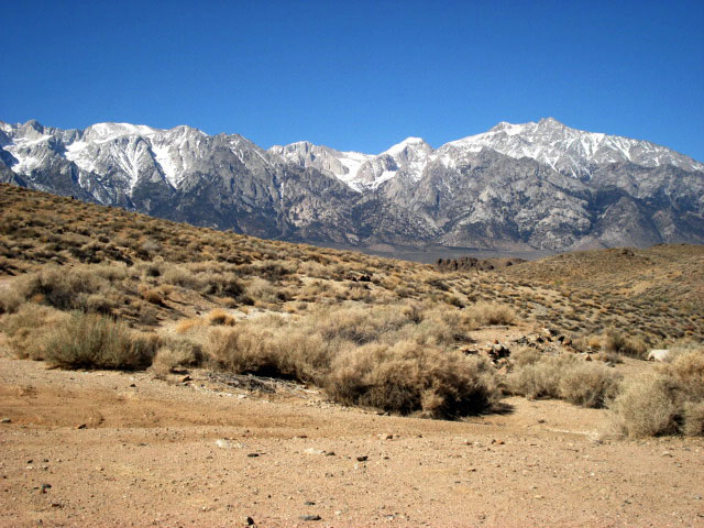
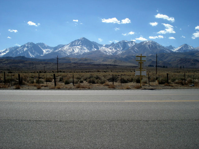
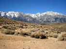
| Sierra Nevada from Highway 395, near Big Pine |
|
|
|
|
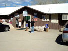
| Keough Hot Springs |
|
 |
|
|
|
| Keough Hot Springs |
|
|
|
|
|
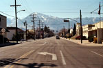
| Bishop |
|
 |
|
|
|
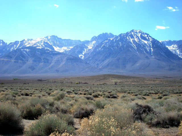
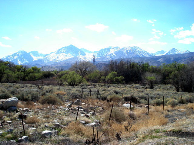
| Mt. Tom and Sabrina Road |
|
|
|
|
|
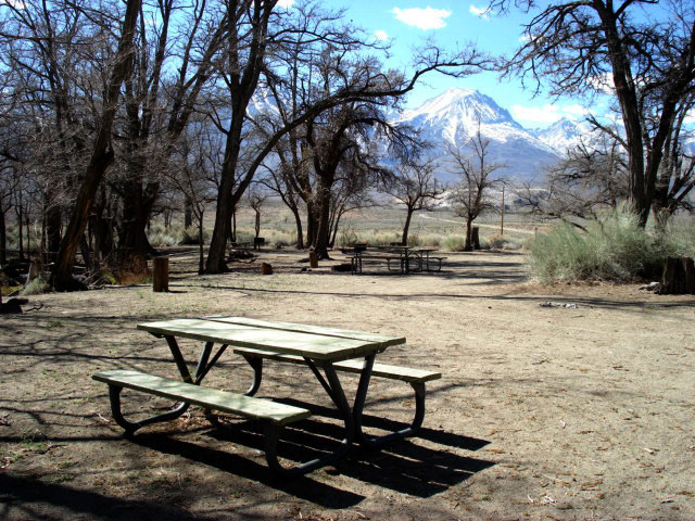
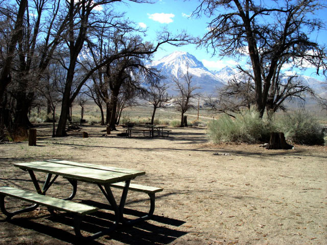
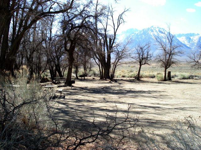
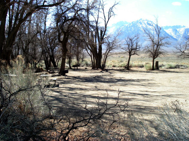
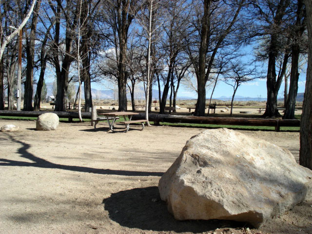
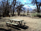
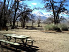
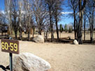
| Millpond Recreation Area |
|
 |
|
 |
|
| Millpond Recreation Area |
|
|
|
|
|
|
|
|
|
| Sherwin Creek Road |
|
 |
|
 |
|
 |
|
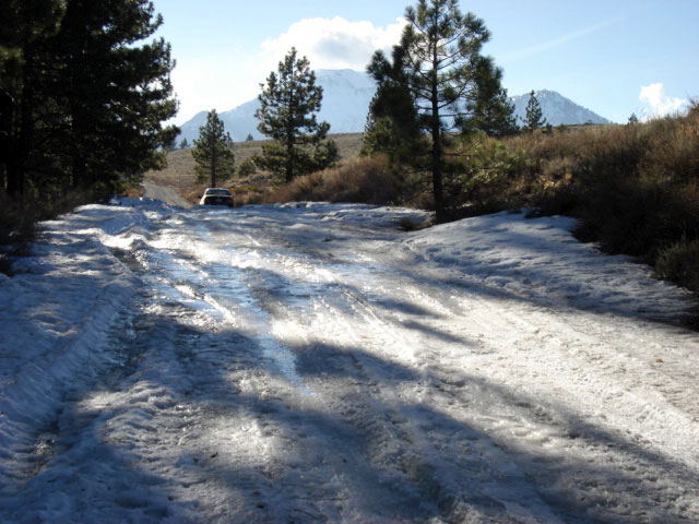
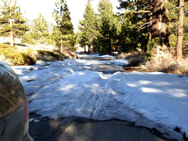
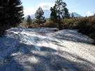
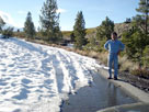
| Sherwin Creek Road with lots of snow |
|
|
|
|
|
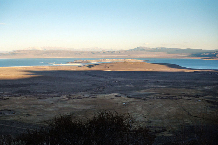
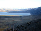
| Mono Lake |
|
 |
|
 |
|
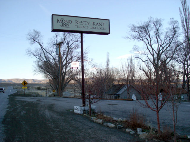
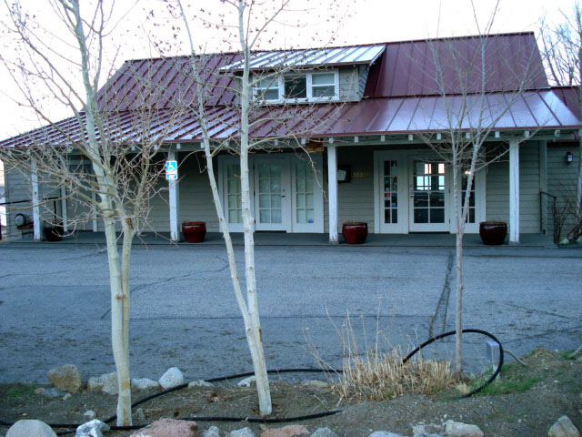
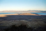
| Mono Inn at Mono Lake shore along Highway 395 |
|
|
|
|
|
|
|
 |
|
 |
|
 |
|
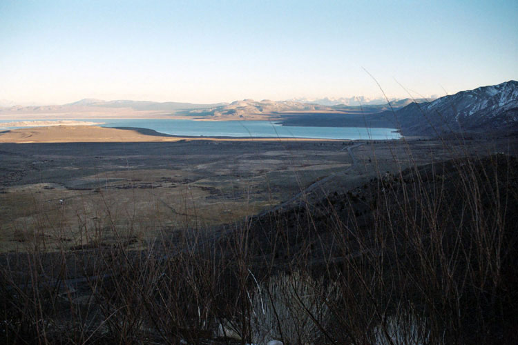
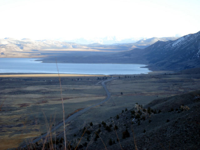
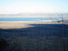
| Mono Lake from Mono Lake Vista near Conway Summit |
|
|
 |
|
 |
|
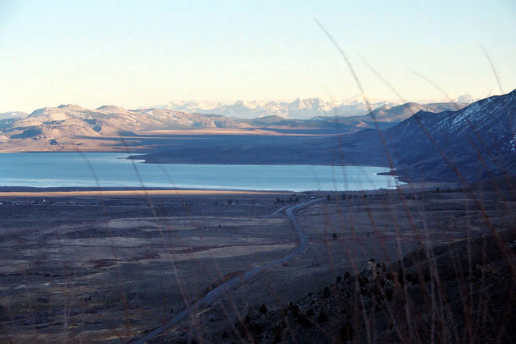
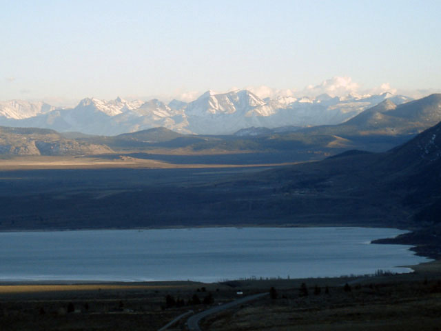
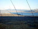
| Mono Lake from Mono Lake Vista near Conway Summit |
|
|
|
|
|
|
|
|
|
|
|
|
|
|
| Highway 50 (U.S. Route 50) West |
|
| No photos |
|