| Sequoia & Kings Canyon 2008 (Day 1) |
 |
|
|
 |
|
 |
| Highway 198 (CA State Route 198) |
 |
| No photos |
|
 |
|
 |
| Mineral King Road |
 |
 |
 |
 |
 |
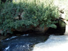
East Fork Kaweah River
from Mineral King Road |
|
|
 |
|
 |
|
|
 |
|
 |
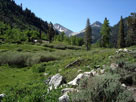
| Mineral King |
 |
 |
 |
 |
 |
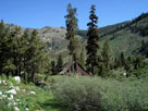
| Mosquito-Eagle Trailhead, Mineral King |
|
 |
|
 |
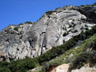
| Mineral King Road |
 |
 |
 |
 |
 |
 |
 |
|
Lookout Point Entrance
and Mineral King Road |
|
 |
|
 |
| Ash Mountain Entrance, Sequoia National Park |
 |
 |
 |
 |
 |
 |
 |
Ash Mountain Entrance,
Sequoia National Park |
|
Generals Highway |
|
|
 |
|
 |
| Generals Highway |
 |
 |
 |
 |
 |
 |
 |
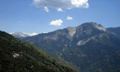
Moro Rock from
Generals Highway |
|
Moro Rock |
|
Castle Rocks from
Generals Highway |
|
 |
|
 |
| Crescent Meadow Road |
 |
| No photos |
|
 |
|
 |
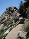
| Moro Rock |
 |
 |
 |
 |
 |
 |
 |
| Moro Rock Trail |
|
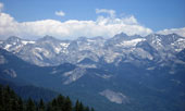
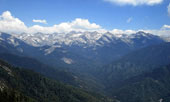
Great Western Divide
from Moro Rock Trail |
|
Moro Rock summit |
|
 |
 |
 |
 |
 |
 |
 |
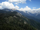
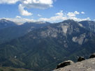
Alta Peak, Great Western Divide and Castle Rocks
from Moro Rock summit |
|
 |
 |
 |
Alta Peak, Great Western Divide and Castle Rocks
from Moro Rock summit |
|
 |
 |
 |
 |
 |
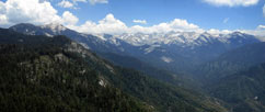
Alta Peak, Great Western Divide and Castle Rocks
from Moro Rock summit |
|
 |
|
|
 |
|
 |
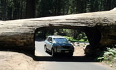
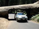
| Tunnel Log |
 |
 |
 |
 |
 |
| Tunnel Log (Crescent Meadow Road) |
|
 |
|
 |
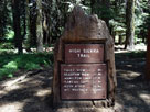
| Crescent Meadow - High Sierra Trail |
 |
 |
 |
 |
 |
 |
 |
High Sierra Trailhead
at Crescent Meadow |
|
|
 |
|
 |
| Giant Forest |
 |
| No photos |
|
 |
|
 |
| Lodgepole Village |
 |
| No photos |
|
 |
|
 |
|
|
 |
|
 |
|
|
 |
|
 |
| Grant Grove Village |
 |
| No photos |
|
 |
|
 |
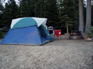
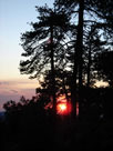
| Azalea Campground |
 |
 |
 |
 |
 |
 |
 |
|
Azalea Campground |
|
|
 |
|
 |
| Day 2 - Kings Canyon National Park & Giant Sequoia N.M. |
 |
 |
 |
 |
 |
 |
 |
 |
 |
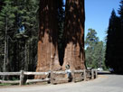
Twin Sisters,
General Grant Grove |
|
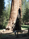
General Grant Tree |
|
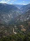
Kings Canyon
and Highway 180 |
|
Grand Sentinel
from Roads End |
|