| Highway 120 West |
 |
|
|
 |
|
 |
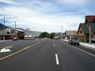
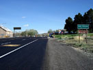
| Lee Vining - Highway 395 (U.S. Route 395) |
 |
 |
 |
 |
 |
 |
Lee Vining and
Highway 395 (north) |
|
Lee Vining and
Highway 395 (south) |
|
|
 |
|
 |
|
|
 |
|
 |
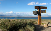
| Vista Point Drive |
 |
 |
 |
 |
 |
 |
 |
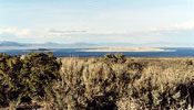
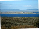
Mono Lake from Vista Point along Vista Point Drive
off Tioga Pass Road |
|
Paoha Island
and Mono Lake |
|
 |
|
 |
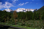
| Mount Dana from Highway |
 |
 |
 |
 |
 |
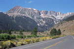
Mt. Gibbs and Mt. Dana
from Highway 120 |
|
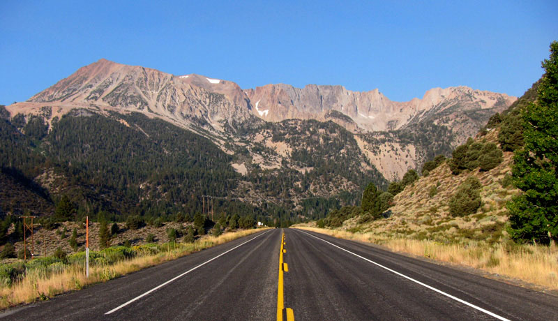
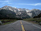
Mount Dana, Dana Crest
and Highway 120 |
|
 |
 |
 |
 |
 |
| Mount Dana, Dana Crest and Highway 120 |
|
 |
|
 |
| Lower Lee Vining Campground |
 |
 |
 |
 |
 |
 |
 |
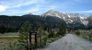
Mount Gibbs and Mount Dana from
Lower Lee Vining Campground
entrance off Tioga Pass Road |
|
Lower Lee Vining
Campground |
|
 |
|
 |
|
|
 |
|
 |
| Moraine Campground |
 |
 |
 |
 |
 |
 |
 |
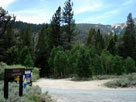
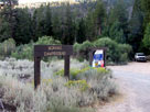
Moraine Campground entrance
from Poole Power Plant Road |
|
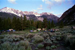
Mount Dana and Dana Crest
from Moraine Campground |
|
 |
|
 |
| Poole Power Plant Road |
 |
 |
 |
 |
 |
 |
 |
 |
 |
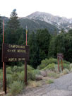
Mt. Dana and Poole
Power Plant Rd off
Tioga Pass Rd |
|
Mount Dana from
Aspen Campground
entrance |
|
Big Bend Campground |
|
Poole Power Plant |
|
 |
|
 |
|
|
 |
 |
 |
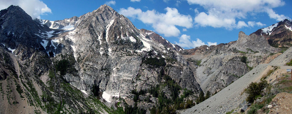
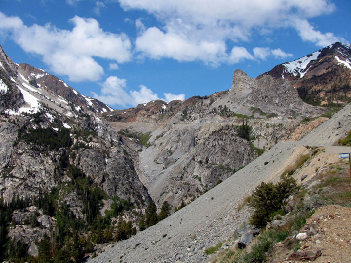
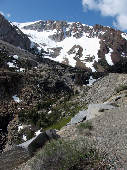
Peak 11,403 (Dana Crest), Lee Vining Canyon
and Highway 120 |
|
 |
 |
 |
 |
 |
Peak 11,403 (Dana Crest), Lee Vining Canyon
and Highway 120 |
|
|
 |
 |
 |
 |
 |
 |
 |
 |
 |
Head of Lee Vining Canyon
(Ellery Lake Falls) |
|
Lee Vining Canyon
and Highway 120 |
|
|
 |
|
 |
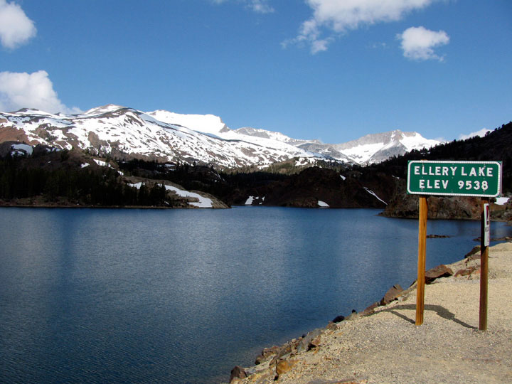
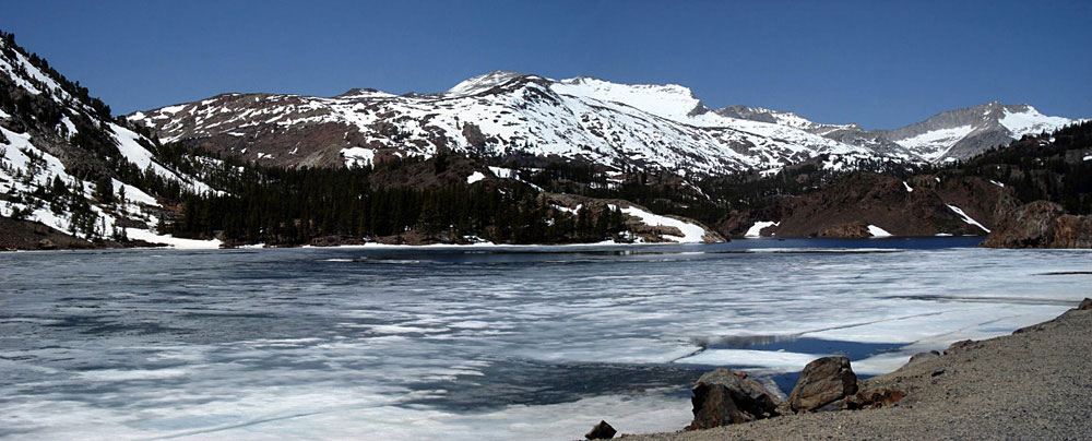
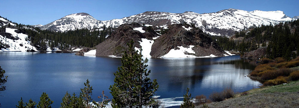
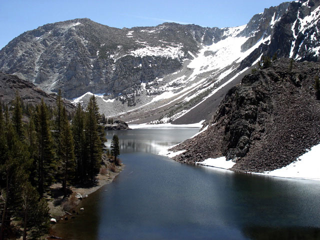
| Ellery Lake |
 |
 |
 |
 |
 |
| White Mountain, Mt. Conness (southeast peak) and Ellery Lake |
|
 |
 |
 |
 |
 |
| Gaylor Peak, White Mountain and Ellery Lake |
|
|
 |
|
 |
|
|
 |
|
 |
| Tioga Junction |
 |
 |
 |
 |
 |
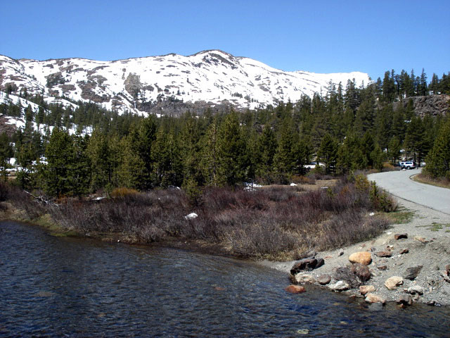
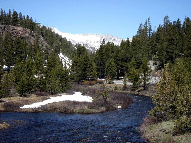
White Mountain, Lee Vining Creek and
Saddlebag Lake Road from Tioga Junction |
|
 |
 |
 |
 |
 |
 |
 |
Mount Dana, Highway 120, Tioga Pass Resort
and Lee Vining Creek near Tioga Junction |
|
|
 |
 |
 |
 |
 |
Junction Campground
from Saddlebag Lake
Road near Tioga Junction |
|
|
 |
|
 |
| Saddlebag Lake Road |
 |
 |
 |
 |
 |
 |
 |
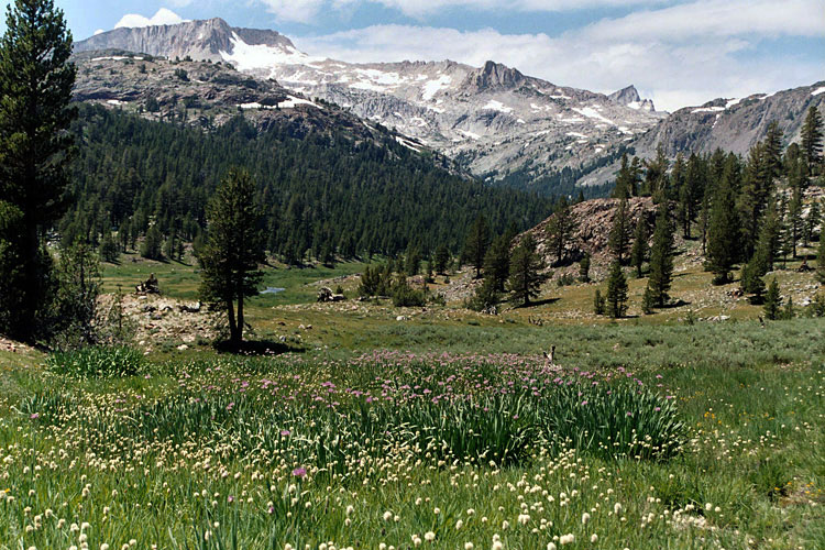
Mount Conness (east ridge)
and Lee Vining Creek
from Saddlebag Lake Road |
|
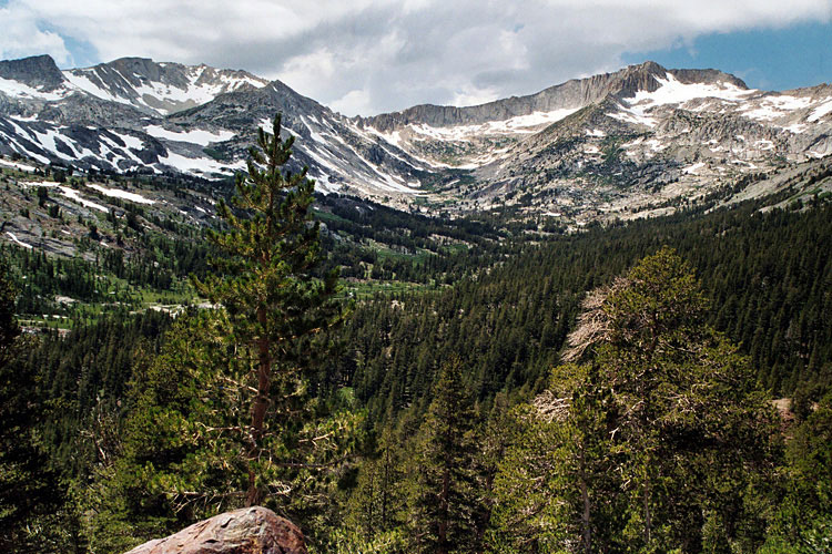
White Mountain and
Mount Conness (Hall
Natural Area) |
|
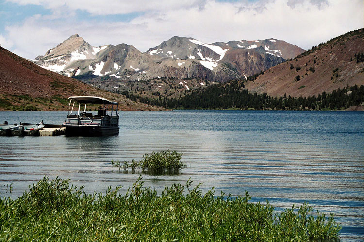
Shepherd Crest,
Excelsior Mountain
and Saddlebag Lake |
|
 |
|
 |
|
|
 |
 |
 |
 |
 |
|
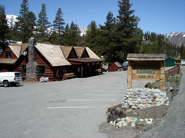
Tioga Pass Resort
off Highway 120 |
|
 |
|
 |
|
|
 |
|
 |
| Tioga Lake |
 |
 |
 |
 |
 |
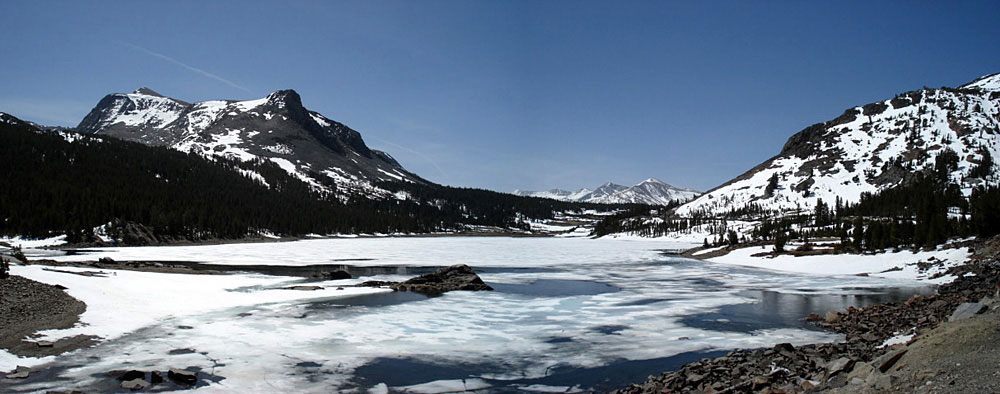
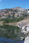
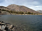
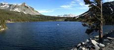
Mount Dana, Mammoth Peak, Tioga Pass
and Tioga Lake |
|
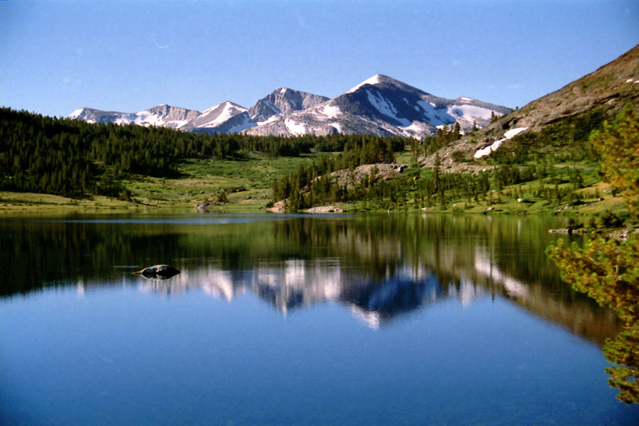
Mammoth Peak, Tioga Pass
and Tioga Lake |
|
 |
 |
 |
 |
 |
 |
 |
| Gaylor Peak |
|
Tioga Peak |
|
Mount Dana, Mammoth Peak, Tioga Pass
and Tioga Lake |
|
 |
|
 |
| Tioga Lake Campground |
 |
 |
 |
 |
 |
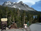
Tioga Lake Campground
entrance |
|
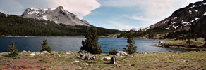
Mount Dana, Tioga Pass and Tioga Lake
from Tioga Lake Campground |
|
 |
|
 |
|
|
 |
 |
 |
 |
 |
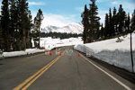
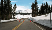
Mammoth Peak and
Highway 120 from
Tioga Lake Overlook |
|
|
 |
 |
 |
 |
 |
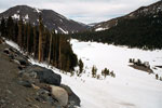
Tioga Peak and Tioga Lake
from Highway 120 |
|
|
 |
|
 |
| Mammoth Peak from Highway |
 |
 |
 |
 |
 |
 |
 |
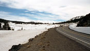
Mammoth Peak
and Highway 120 |
|
Mammoth Peak and Tioga
Pass from Highway 120 |
|
|
 |
|
 |
|
|
 |
|
 |
| Tioga Pass |
 |
 |
 |
 |
 |
Tioga Peak and Highway
120 from Tioga Pass |
|
|
 |
 |
 |
 |
 |
 |
 |
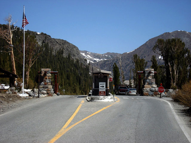
Tioga Pass Entrance
Station and Highway 120
(Tioga Road) |
|
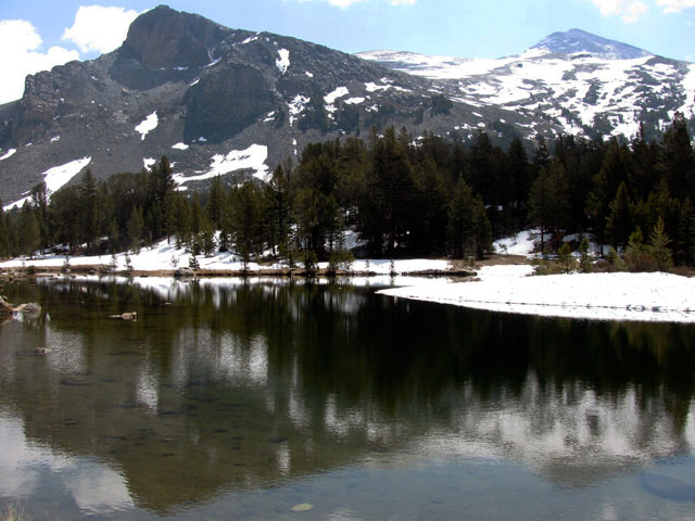
Mount Dana
from Tioga Pass |
|
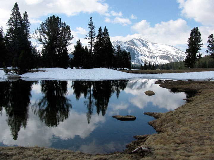
Mammoth Peak
from Tioga Pass |
|
 |
|
 |
| Highway 120 beyond Tioga Pass (Tioga Road) |
 |
 |
 |
 |
 |
 |
 |
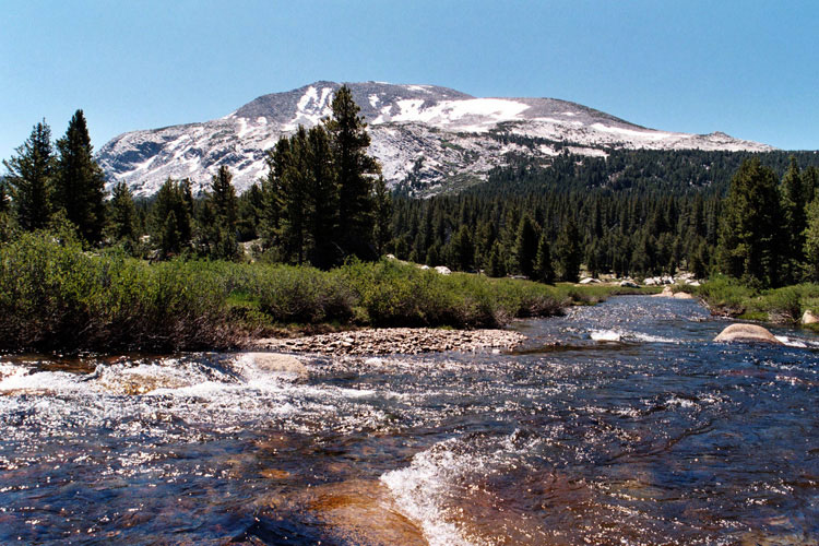
Gaylor Peak, Tioga Peak,
Tioga Pass and
Upper Dana Meadow |
|
Mammoth Peak and Dana
Fork (Dana Meadows) |
|
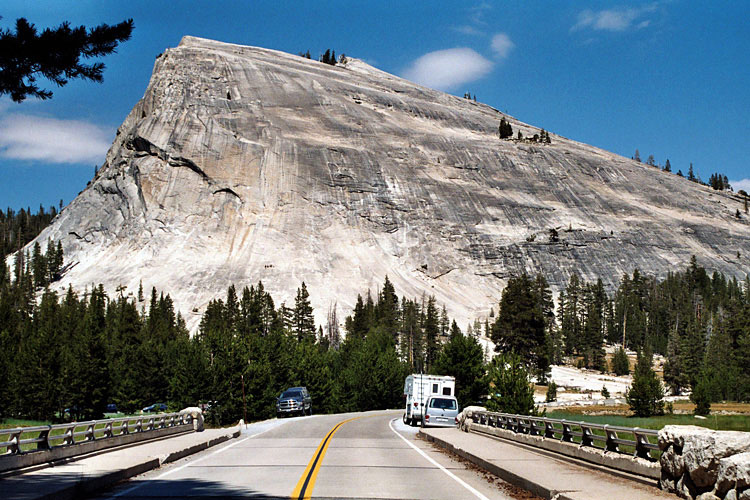
Lembert Dome and
Tuolumne Meadows Bridge |
|