| Peaks & Subpeaks of Mojave Desert |
 |
| Original photo collection of sceneries with, from and around Peaks and Subpeaks (classified as Summits), located in Mojave Desert (California/Nevada/Arizona/Utah, USA). |
|
 |
|
|
 |
|
 |
|
|
 |
| Telescope Peak |
 |
 |
 |
 |
 |
 |
 |
 |
 |
 |
 |
 |
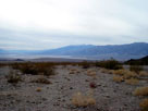
Telescope Peak and Death
Valley from Hells Gate |
|
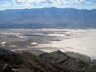
Telescope Peak and Death
Valley from Dante's View |
|
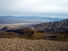
Telescope Peak and
Panamint Valley from
Father Crowley Vista |
|
 |
|
 |
|
|
 |
|
 |
| Death Valley Buttes |
 |
 |
 |
 |
 |
 |
 |
 |
 |
 |
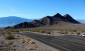
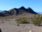
Death Valley Buttes, Hells Gate
and Daylight Pass Road |
|
Death Valley Buttes
from Hells Gate |
|
 |
|
 |
|
|
 |
|
 |
| Manly Beacon |
 |
 |
 |
 |
 |
 |
 |
 |
 |
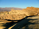
Manly Beacon and
Red Cathedral from
Zabriskie Point |
|
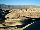
Panamint Range, Death
Valley, Golden Canyon
and Manly Beacon
from Zabriskie Point |
|
 |
|
 |
|
|
 |
|
 |
|
|
 |
|
 |
| Dry Mountain |
 |
 |
 |
 |
 |
 |
 |
 |
 |
 |
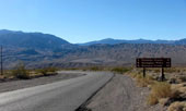
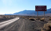
Tin Mountain and
Dry Mountain from
Scottys Castle Road |
|
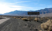
Last Chance Range (Dry Mountain)
from Ubehebe Crater Road |
|
 |
|
 |
|
|
 |
|
 |
|
|
 |
|
 |
|
|
 |
| Teutonia Peak |
 |
 |
 |
 |
 |
 |
 |
 |
 |
 |
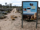
Teutonia Peak Trailhead
off Cima Road |
|
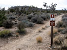
Teutonia Peak and
Teutonia Peak Trail |
|
 |
|
 |
| Granite Peak |
 |
 |
 |
 |
 |
 |
 |
 |
 |
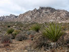
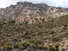
| Granite Mountains (Granite Peak?) from Kelbaker Road |
|
 |
|
 |
|
|
 |
|
|
 |
 |
 |
 |
 |
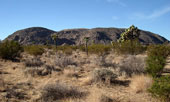
Ryan Mountain
from Park Boulevard |
|
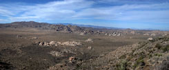
Joshua Tree National Park
from Ryan Mountain Trail |
|
 |
 |
 |
 |
 |
 |
 |
Pleasant Valley and
Ryan Mountain Summit |
|
Ryan Mountain Summit |
|
Quail Mountain from Ryan
Mountain near summit |
|
 |
|
 |
|
|
 |
 |
 |
 |
 |
 |
 |
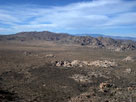
Quail Mountain and Lost Horse Valley
from Ryan Mountain Trail |
|
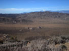
Quail Mountain and Lost
Horse Valley from
Ryan Mountain Summit |
|
 |
|
 |
|
|
 |
 |
 |
 |
 |
 |
 |
Park Boulevard
and Jumbo Rocks
Campground (Jumbo Rock
Campground) entrance |
|
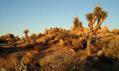
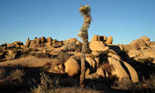
Jumbo Rocks from Jumbo Rocks Campground |
|