| Roads & Highways of Mojave Desert |
 |
| Original photo collection of sceneries along Roads and Highways running in and through Mojave Desert (California/Nevada/Arizona/Utah, USA). |
|
 |
|
|
 |
|
 |
|
|
 |
|
|
 |
 |
 |
 |
 |
 |
 |
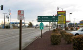
| CA 58 and U.S. 395 at Kramer Junction |
|
U.S. 395 and CA 58
(Kramer Junction) |
|
 |
|
 |
|
|
 |
 |
 |
 |
 |
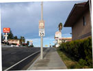
Historic Route 66
(National Trails
Highway), Barstow |
|
|
 |
|
 |
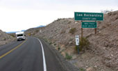
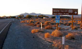
| Highway 127 (California State Route 127) |
 |
 |
 |
 |
 |
 |
 |
 |
 |
Ibex Pass and
Highway 127 (south) |
|
CA 127 (south) and CA 190
(Death Valley Junction) |
|
 |
|
 |
|
|
 |
|
 |
| Highway 40 (Interstate 40) |
 |
 |
 |
 |
 |
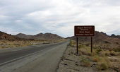
| Highway 40 (east) near Kelbaker Road junction |
|
 |
|
 |
|
|
 |
|
 |
|
|
 |
|
 |
|
|
 |
|
 |
|
|
 |
|
|
 |
 |
 |
 |
 |
 |
 |
Highway 190 entering
Death Valley National Park
(Death Valley Scenic Byway) |
|
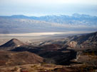
Panamint Valley and
Highway 190 from
Father Crowley Vista |
|
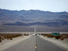
Panamint Range
and Highway 190 |
|
 |
 |
 |
 |
 |
 |
 |
Furnace Creek and
CA 190 (west) |
|
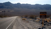
Black Mountains and
CA 190 (west) near Furnace
Creek Wash Road junction |
|
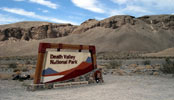
Death Valley National Park
entrance off Highway 190 |
|
 |
|
 |
|
|
 |
|
 |
|
|
 |
|
 |
|
|
 |
 |
 |
 |
 |
 |
 |
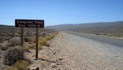
Emigrant Pass and Wildrose
Road (Emigrant Canyon Road) |
|
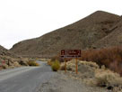
Charcoal Kilns Road
(Charcoal Kiln Road)
from Wildrose Road |
|
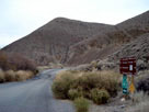
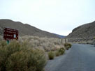
Wildrose Road from
Charcoal Kilns Road |
|
 |
|
 |
|
|
 |
 |
 |
 |
 |
 |
 |
Charcoal Kilns Road
(Charcoal Kiln Road)
from Wildrose Road |
|
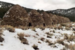
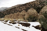
Charcoal Kilns (Wildrose Charcoal Kilns)
from Charcoal Kilns Road |
|
 |
|
 |
| Trona Wildrose Road |
 |
 |
 |
 |
 |
 |
 |
 |
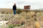
Trona Wildrose Road entering
Death Valley National Park |
|
Trona Wildrose Road
near Panamint Valley
Road junction |
|
 |
|
 |
|
|
 |
 |
 |
 |
 |
Sea level sign
from Badwater
Road (Badwater) |
|
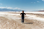
Badwater Basin
off Badwater Road |
|
 |
|
 |
|
|
 |
|
 |
|
|
 |
 |
 |
 |
 |
 |
 |
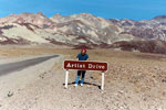
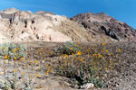
Black Mountains and
Artists Drive (Artist Drive)
off Badwater Road |
|
Black Mountains
from Artist Drive |
|
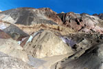
Artist's Palette
off Artist Drive |
|
 |
|
 |
|
|
 |
|
 |
|
|
 |
 |
 |
 |
 |
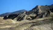
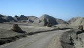
Twenty Mule Team Road (20 Mule Team Road)
in Twenty Mule Team Canyon |
|
 |
|
 |
|
|
 |
|
 |
|
|
 |
 |
 |
 |
 |
 |
 |
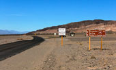
Scottys Castle Road (north)
near Daylight Pass Road |
|
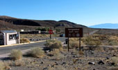
Grapevine Ranger Station and
Scottys Castle Road (south) |
|
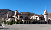
Scotty's Castle |
|
 |
|
 |
|
|
 |
 |
 |
 |
 |
 |
 |
Panamint Range, Mesquite
Flat Sand Dunes and
Scottys Castle Road
from Daylight Pass Road |
|
Death Valley, Beatty Cutoff
and Daylight Pass
Road from Hells Gate |
|
Daylight Pass |
|
 |
|
 |
|
|
 |
 |
 |
 |
 |
 |
 |
Scottys Castle Road near
Ubehebe Crater Road junction |
|
Ubehebe Crater Road near
Racetrack Road junction |
|
Ubehebe Crater from
Ubehebe Crater Overlook |
|
 |
|
 |
|
|
 |
 |
 |
 |
 |
 |
 |
Ubehebe Crater Road near
Racetrack Valley Road
(Racetrack Road) junction |
|
The Grandstand and The
Racetrack (Racetrack Playa) |
|
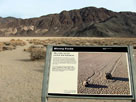
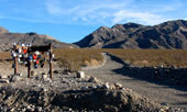
Moving Rocks Trailhead
off Racetrack Valley Road |
|
 |
|
 |
|
|
 |
 |
 |
 |
 |
 |
 |
Hidden Valley Road
from Teakettle Junction
(Racetrack Valley Road) |
|
Hidden Valley and
Hidden Valley Road |
|
Ulida Flat from
Hidden Valley Road |
|
 |
|
 |
| Big Pine Road (Death Valley Road) |
 |
 |
 |
 |
 |
 |
 |
 |
 |
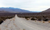
Death Valley and Big Pine
Road (Death Valley Road)
from Crankshaft Junction |
|
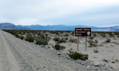
Big Pine Road (Death Valley
Road) in Eureka Valley |
|
 |
|
 |
|
|
 |
 |
 |
 |
 |
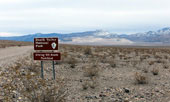
South Eureka Road off Big
Pine Road (Death Valley Road) |
|
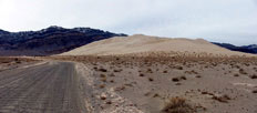
Last Chance Range, Eureka Sand Dunes
(Eureka Dunes) and South Eureka Road |
|
 |
|
 |
|
|
 |
|
 |
|
|
 |
|
|
 |
 |
 |
 |
 |
 |
 |
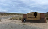
Kelbaker Road (north) entering
Mojave National Preserve |
|
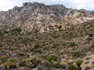
Granite Mountains
from Granite Pass |
|
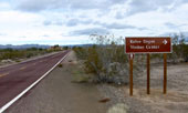
Kelbaker Road entering Kelso |
|
 |
|
 |
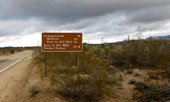
| Kelso Cima Road |
 |
 |
 |
 |
 |
 |
 |
 |
Kelso Cima Road near Cedar
Canyon Road junction |
|
Kelso Cima Road from Cedar
Canyon Road junction |
|
 |
|
 |
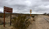
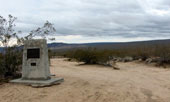
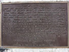
| Mojave Road |
 |
 |
 |
 |
 |
 |
 |
 |
 |
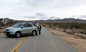
Mojave Road (west) from
Kelso Cima Road at Cedar
Canyon Road junction |
|
|
 |
|
 |
|
|
 |
 |
 |
 |
 |
 |
 |
Cedar Canyon Road (Mojave
Road) eastbound |
|
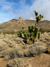
Joshua trees from Cedar Canyon Road |
|
 |
 |
 |
 |
 |
 |
 |
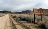
Cedar Canyon Road near
Black Canyon Road junction |
|
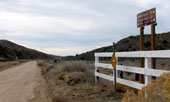
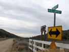
Cedar Canyon Road (west) at Black Canyon Road junction |
|
 |
|
 |
|
|
 |
 |
 |
 |
 |
 |
 |
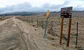
Black Canyon Road (north)
at Wild Horse Canyon
Road junction |
|
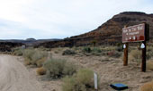
Hole In The Wall
Campground (Hole-in-the-
Wall Campground) entrance
from Black Canyon Road |
|
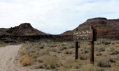
Hole In The Wall Visitor
Center (Hole-in-the-Wall
Information Center) entrance
from Black Canyon Road |
|
 |
|
 |
|
|
 |
 |
 |
 |
 |
 |
 |
Wild Horse Canyon Road
from Black Canyon Road |
|
Mid Hills Campground (Midhills
Campground) entrance from
Wild Horse Canyon Road |
|
Mid Hills to Hole-in-the-
Wall Trail (south) from
Wild Horse Canyon Road |
|
 |
|
 |
| Wild Horse Road |
 |
 |
 |
 |
 |
 |
 |
 |
Wild Horse Canyon, Wild Horse
Mesa (?) and Wild Horse Road
(Wild Horse Canyon Road) |
|
|
 |
|
 |
|
|
 |
|
|
 |
 |
 |
 |
 |
 |
 |
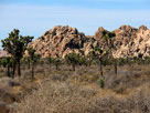
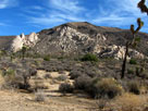
| Hidden Valley from Park Boulevard |
|
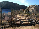
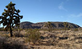
Ryan Mountain from
Park Boulevard in
Lost Horse Valley |
|
 |
 |
 |
 |
 |
 |
 |
Ryan Mountain Trailhead
off Park Boulevard |
|
Ryan Mountain from Park
Boulevard in Queen Valley |
|
Park Boulevard
and Jumbo Rocks
Campground (Jumbo Rock
Campground) entrance |
|
 |
|
 |
|
|
 |
|
 |
|
|
 |
 |
 |
 |
 |
 |
 |
Ryan Mountain from Queen Valley Road
in Lost Horse Valley |
|
Queen Valley Road
in Queen Valley |
|
 |
|
 |
|
|
 |
|
 |
|
|
 |
|
 |
|
|
 |
 |
 |
 |
 |
White Tank Campground
off Pinto Basin Road |
|
|
 |
|
 |
|
|
 |
 |
 |
 |
 |
Indian Cove Campground
from Indian Cove Road |
|
|
 |
|
 |
|
|
 |
|
|
 |
 |
 |
 |
 |
 |
 |
Highway 395 (north)
near Little Lake |
|
Olancha Peak
and Highway 395 near
Sage Flats Road junction |
|
Lone Pine and
U.S. 395 (south) |
|
 |
|
 |
|
|
 |
 |
 |
 |
 |
 |
 |
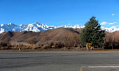
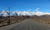
Lone Pine Peak,
Mount Whitney and
U.S. 395
from Lone Pine
Narrow Gauge Road |
|
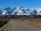
Mount Whitney and
Mount Williamson from Lone
Pine Narrow Gauge Road |
|
Mount Langley, Lone Pine
Peak and Mount Whitney |
|
 |
|
 |
| Highway 136 (California State Route 136) |
 |
 |
 |
 |
 |
 |
 |
 |
 |
 |
 |
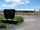
Eastern Sierra Interagency
Visitor Center
off Highway 136 |
|
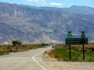
Inyo Mountains and
Highway 136 (east) |
|
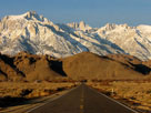
Lone Pine Peak, Mount
Whitney and Mount Russell
from Highway 136 |
|
 |
|
 |
| Owenyo Road (Owenyo Lone Pine Road) |
 |
 |
 |
 |
 |
 |
 |
 |
Lone Pine Narrow Gauge
Road and Owenyo Road
(Owenyo Lone Pine Road) |
|
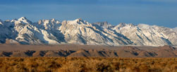
Mount Langley, Lone Pine Peak, Mount
Whitney and Mount Russell from Owenyo Road |
|
 |
|
 |
| Cerro Gordo Road |
 |
 |
 |
 |
 |
 |
 |
 |
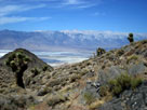
Sierra Nevada (Mount
Langley) and Owens Lake
from Cerro Gordo Road |
|
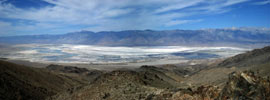
Sierra Nevada (Olancha Peak to Mount Langley)
and Owens Lake from Cerro Gordo Road |
|
 |
|
 |
| Highway 14 (California State Route 14) |
 |
| Forthcoming... |
|
 |
|
 |
|
|
 |
|
 |
|
|
 |
|
 |
|
|
 |
|
 |
|
|
 |
|
 |
|
|
 |
|
 |
|
|
 |
|
 |
|
|
 |
|
 |
|
|
 |
|
|
 |
|
 |
|
|
 |
|
|
 |
|
 |
|
|
 |
|
|