| Highways of Mojave Desert |
 |
| Original photo collection of sceneries with, from and around Highways (U.S. Highways and State Highways) running in and through Mojave Desert (California/Nevada/Arizona/Utah, USA). |
|
 |
|
 |
|
|
 |
|
 |
| Highway 40 (Interstate 40) |
 |
 |
 |
 |
 |
Highway 40 (east) near
Kelbaker Road junction |
|
Kelbaker Road (south)
off Highway 40 |
|
 |
|
 |
|
|
 |
 |
 |
 |
 |
 |
 |
CA 190 (west) from
Death Valley Junction |
|
Highway 190 (west)
entering Furnace Creek |
|
Highway 190 (west) near
Scottys Castle Road junction |
|
 |
 |
 |
 |
 |
 |
 |
Highway 190 (west) through
Devil's Corn Field |
|
Mesquite Flat Sand Dunes
(Mesquite Flat Dunes)
from Highway 190 |
|
Panamint Range and
Highway 190 (east)
near Panamint Valley
Road junction |
|
 |
|
 |
|
|
 |
 |
 |
 |
 |
Inyokern and
Highway 178 (east) |
|
Carriage Inn, Ridgecrest
and Highway 178 |
|
 |
|
 |
| Highway 127 (California State Route 127) |
 |
 |
 |
 |
 |
 |
 |
 |
 |
Ibex Pass and
Highway 127 (south) |
|
CA 127 (south) and CA 190
(Death Valley Junction) |
|
 |
|
 |
| Highway 395 (U.S. Route 395) |
 |
 |
 |
 |
 |
 |
 |
 |
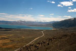
North end of Eastern
Sierra Scenic Byway
near Topaz Lake |
|
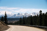
Mono Lake and Highway
395 from Mono Lake Vista
near Conway Summit |
|
Mount Morrison
and Laurel Mountain |
|
|
 |
 |
 |
 |
 |
 |
 |
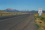
Mammoth Mountain
and Ritter Range |
|
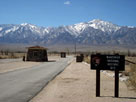
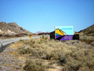
Manzanar National
Historic Site entrance |
|
South end of Eastern
Sierra Scenic Byway
near Little Lake |
|
 |
|
 |
| Highway 136 (California State Route 136) |
 |
 |
 |
 |
 |
 |
 |
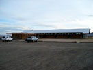
Eastern Sierra Interagency
Visitor Center
off Highway 136 |
|
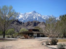
Lone Pine Peak
and old Visitor Center |
|
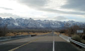
Sierra Nevada Mountains
and Highway 136
crossing Owens River |
|
 |
|
 |
| Highway 14 (California State Route 14) |
 |
| Forthcoming... |
|
 |
|
 |
| Highway 58 (California State Route 58) |
 |
 |
 |
 |
 |
 |
 |
 |
 |
 |
 |
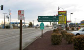
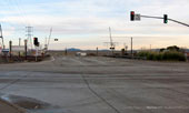
| CA 58 and U.S. 395 at Kramer Junction |
|
U.S. 395 and CA 58
(Kramer Junction) |
|