| Peaks & Subpeaks of Sierra Nevada |
 |
| Original photo collection of sceneries with, from and around Peaks and Subpeaks (Mountains, Domes, Rocks; classified as Summits) of Sierra Nevada Mountains (Sierra Nevada, Sierra Nevada Range) and subranges (California/Nevada, USA). |
|
 |
|
 |
| Sonora Peak |
 |
 |
 |
 |
 |
 |
 |
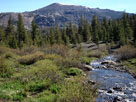
Sonora Peak
and Deadman Creek
from Highway 108 |
|
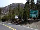
Sonora Peak and
Highway 108 (west)
from Sonora Pass |
|
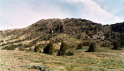
Sonora Peak from
above Sonora Pass |
|
 |
|
 |
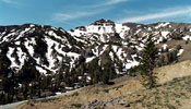
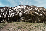
| Pacific Crest Peak (Peak 11,245) |
 |
 |
 |
 |
 |
 |
 |
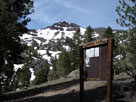
Pacific Crest Peak and
Paicific Crest Trail (south)
from Sonora Pass |
|
Pacific Crest Peak
and Highway 108 from
above Sonora Pass |
|
Pacific Crest Peak
and Sonora Pass |
|
 |
|
 |
|
|
 |
|
 |
|
|
 |
|
 |
| Crown Point |
 |
 |
 |
 |
 |
 |
 |
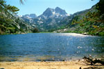
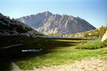
Crown Point
and Barney Lake |
|
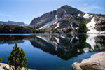
Crown Point
and Peeler Lake |
|
Crown Point from
Burro Pass Trail |
|
 |
|
 |
| Sawtooth Ridge |
 |
 |
 |
 |
 |
 |
 |
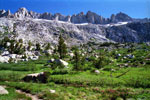
Sawtooth Ridge from
Burro Pass Trail |
|
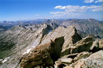
Sawtooth Ridge from
Matterhorn Peak summit |
|
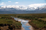
Matterhorn Peak
and Sawtooth Ridge
from Highway 395 |
|
 |
|
 |
| Matterhorn Peak |
 |
 |
 |
 |
 |
 |
 |
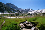
Matterhorn Peak
and Burro Pass
from Burro Pass Trail |
|
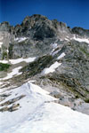
Matterhorn Peak
and Burro Pass |
|
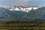
Matterhorn Peak
and Sawtooth Ridge
from Highway 395,
near Bridgeport |
|
 |
|
 |
| Twin Peaks |
 |
 |
 |
 |
 |
 |
 |
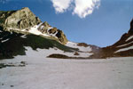
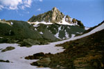
Twin Peaks and
Horse Creek Pass |
|
Twin Peaks and Horse Creek |
|
 |
|
 |
| Dunderberg Peak |
 |
 |
 |
 |
 |
 |
 |
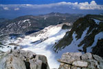
Dunderberg Peak
from Highway 395 |
|
Dunderberg Peak and
Dunderberg Meadows Rd |
|
Dunderberg Peak from
Mount Conness summit |
|
 |
|
 |
|
|
 |
|
 |
|
|
 |
|
 |
| Excelsior Mountain |
 |
 |
 |
 |
 |
 |
 |
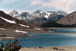
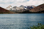
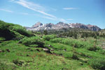
Shepherd Crest, Excelsior Mountain
and Saddlebag Lake |
|
Shepherd Crest and
Excelsior Mountain from
Conness Lakes Trail |
|
 |
|
 |
| Shepherd Crest |
 |
 |
 |
 |
 |
 |
 |
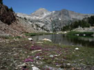
Shepherd Crest
from 20 Lakes Basin |
|
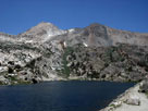
Shepherd Crest
and Steelhead Lake |
|
Shepherd Crest
and Cascade Lake |
|
 |
|
 |
| North Peak |
 |
 |
 |
 |
 |
 |
 |
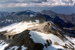
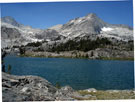
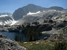
North Peak from
Mount Conness summit |
|
North Peak
and Greenstone Lake |
|
North Peak
and Steelhead Lake |
|
 |
|
 |
| Mount Conness |
 |
 |
 |
 |
 |
 |
 |
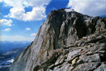
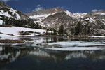
Mount Conness from
Young Lakes Trail |
|
Mount Conness summit |
|
Mount Conness and
Green Treble Lake |
|
 |
|
 |
| White Mountain |
 |
 |
 |
 |
 |
 |
 |
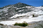
White Mountain from
above Upper Young Lake |
|
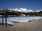
White Mountain
and Ellery Lake |
|
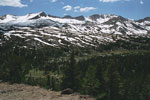
White Mountain from
Saddlebag Lake Road |
|
 |
|
 |
| Gaylor Peak |
 |
 |
 |
 |
 |
 |
 |
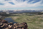
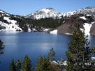
Gaylor Peak and Tioga Peak
from Upper Dana Meadow |
|
Cathedral Range and
Gaylor Lakes from
Gaylor Peak summit |
|
Gaylor Peak and
Ellery Lake from
Highway 120 |
|
 |
|
 |
| Tioga Crest |
 |
 |
 |
 |
 |
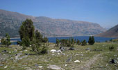
Tioga Crest, Saddlebag Lake
and 20 Lakes Basin Trail |
|
Tioga Crest and Shamrock Lake
from 20 Lakes Basin Trail |
|
 |
|
 |
| Tioga Peak |
 |
 |
 |
 |
 |
 |
 |
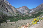
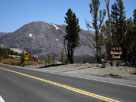
Tioga Peak and
Lee Vining Canyon
from Tioga Pass Road |
|
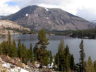
Tioga Peak and
Tioga Lake from
Tioga Lake Overlook |
|
Tioga Peak and
Tioga Pass Road
from Tioga Pass |
|
 |
|
 |
| Mount Dana |
 |
 |
 |
 |
 |
 |
 |
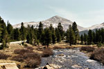
Mount Dana
and Dana Fork |
|
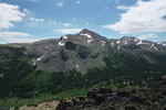
Mount Dana from
Gaylor Peak summit |
|
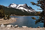
Mount Dana
and Tioga Lake |
|
 |
|
 |
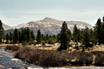
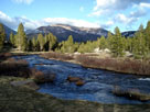
| Mount Gibbs |
 |
 |
 |
 |
 |
 |
 |
| Mount Gibbs and Dana Fork Tuolumne River |
|
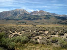
Mt. Gibbs and Mt. Dana
from Highway 395 |
|
 |
|
 |
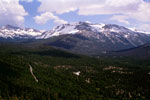
| Mammoth Peak |
 |
 |
 |
 |
 |
 |
 |
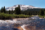
Mount Gibbs and
Mammoth Peak from
Lembert Dome summit |
|
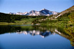
Mammoth Peak and
Dana Fork Tuolumne River |
|
Mammoth Peak, Tioga
Pass and Tioga Lake |
|
 |
|
 |
| Cathedral Peak |
 |
 |
 |
 |
 |
 |
 |
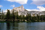
Cathedral Peak
and Lower Cathedral Lake |
|
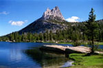
Cathedral Peak
and Upper Cathedral Lake |
|
Cathedral Peak
summit |
|
 |
|
 |
| Mount Hoffmann |
 |
 |
 |
 |
 |
 |
 |
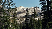
Mount Hoffmann
from Tioga Road |
|
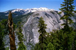
Mount Hoffmann
and Mount Watkins
from Half Dome Trail |
|
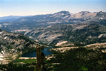
Mount Hoffmann,
Lower Cathedral Lake
and Eichorn Pinnacle
from Cathedral Peak |
|
 |
|
 |
| Half Dome |
 |
 |
 |
 |
 |
 |
 |
Tenaya Canyon, Clouds Rest
and Half Dome
from Glacier Point |
|
Half Dome from
Half Dome Trail |
|
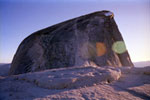
Half Dome from
North Dome summit |
|
 |
|
 |
| El Capitan |
 |
 |
 |
 |
 |
 |
 |
 |
 |
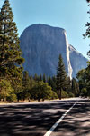
| El Capitan from Southside Drive |
|
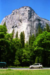
El Capitan and
Northside Drive |
|
El Capitan
from Tunnel View |
|
 |
|
 |
| Mount Lyell |
 |
 |
 |
 |
 |
 |
 |
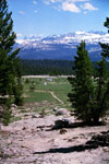
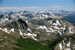
Mt. Ritter, Mt. Lyell
and Young Lakes
Trail |
|
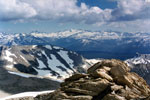
Mount Ritter, Mount Lyell
and White Mountain
from Mount Conness summit |
|
Mt. Conness and Mt. Lyell
from Matterhorn Peak summit |
|
 |
|
 |
| Mount Lewis |
 |
 |
 |
 |
 |
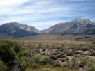
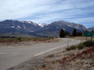
Mt. Lewis, Mono Pass
and Mt. Gibbs
from Highway 395 |
|
Mt. Wood, Mt. Lewis and
June Lake Loop North
Junction off Highway 395 |
|
 |
|
 |
| Mount Wood |
 |
 |
 |
 |
 |
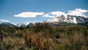
Carson Peak and Mount Wood
from June Lake Loop |
|
Mount Wood, Mount Lewis
and Mount Gibbs from
Highway 120 |
|
 |
|
 |
| Carson Peak |
 |
 |
 |
 |
 |
 |
 |
Carson Peak and June Lake
from June Lake Loop |
|
Carson Peak from
June Lake Loop |
|
Carson Peak
and Silver Lake |
|
 |
|
 |
|
|
 |
|
 |
| Two Teats |
 |
 |
 |
 |
 |
Two Teats from
San Joaquin Ridge Trail
near Minaret Vista |
|
|
 |
|
 |
| Banner Peak |
 |
 |
 |
 |
 |
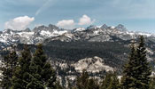
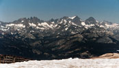
Ritter Range (Minarets, Mount
Ritter and Banner Peak) from
Minaret Vista near Minaret Summit |
|
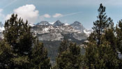
Mount Ritter and Banner Peak
from San Joaquin Ridge Trail |
|
 |
|
 |
| Mount Ritter |
 |
 |
 |
 |
 |
 |
 |
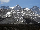
Mount Ritter and Banner
Peak from Minaret Vista |
|
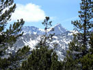
Mount Ritter from
San Joaquin Ridge Trail |
|
Ritter Range (Minarets, Mount
Ritter and Banner Peak) from
Mammoth Mountain summit |
|
 |
|
 |
| Minarets |
 |
 |
 |
 |
 |
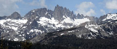
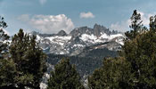
| The Minarets from Minaret Vista |
|
The Minarets from
San Joaquin Ridge Trail |
|
 |
|
 |
| Mammoth Mountain |
 |
 |
 |
 |
 |
 |
 |
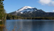
Mammoth Mountain
and Minaret Vista |
|
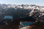
Mammoth Mountain
and Lake Mary |
|
Mammoth Crest and
Mammoth Lakes from
Mammoth Mountain summit |
|
 |
|
 |
| Mammoth Crest |
 |
 |
 |
 |
 |
 |
 |
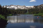
Mammoth Crest,
Crystal Crag
and Twin Lakes |
|
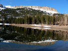
Mammoth Crest
and Horseshoe Lake |
|
Mammoth Crest from
Crystal Lake Trail |
|
 |
|
 |
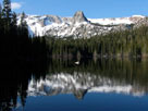
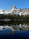
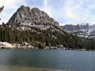
| Crystal Crag |
 |
 |
 |
 |
 |
 |
 |
Mammoth Crest,
Crystal Crag
and Lake Mamie |
|
Crystal Crag
and Lake George |
|
Crystal Crag
and Crystal Lake |
|
 |
|
 |
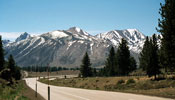
| Laurel Mountain |
 |
 |
 |
 |
 |
 |
 |
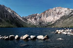
Mount Morrison,
Laurel Mountain
and Highway 395 |
|
Laurel Mountain
and Convict Lake |
|
Laurel Mountain from
Owens River Road |
|
 |
|
 |
| Mount Morrison |
 |
 |
 |
 |
 |
 |
 |
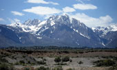
Mount Morrison
and Laurel Mountain
from Highway 395 (south) |
|
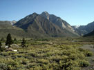
Mono Jim Peak,
Mount Morrison and
Convict Lake Campground
from Convict Lake Road |
|
Mount Morrison from
Owens River Road |
|
 |
|
 |
| Mount Morgan |
 |
 |
 |
 |
 |
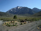
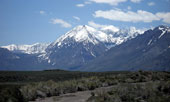
Mount Morgan from
Crowley Lake Campground |
|
Mount Morgan from
Owens River Road |
|
 |
|
 |
| Bear Creek Spire |
 |
 |
 |
 |
 |
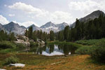
Little Lakes Peak
and Bear Creek Spire
from Mono Pass Trail |
|
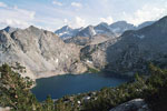
Bear Creek Spire
and Ruby Lake
from Mono Pass Trail |
|
 |
|
 |
|
|
 |
|
 |
| Mount Tom |
 |
 |
 |
 |
 |
 |
 |
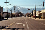
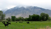
Mount Tom from
West Line Street
(Highway 168), Bishop |
|
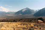
Mount Tom from
Pine Creek Road |
|
Mount Tom from
Lower Rock Creek Road |
|
 |
|
 |
| Basin Mountain |
 |
 |
 |
 |
 |
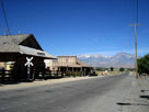
Basin Mountain and
Mount Tom from
Laws Railroad Museum |
|
Mt. Humphreys, Basin Mountain, Mt. Tom and Wheeler Ridge
from Silver Canyon Road |
|
 |
|
 |
| Mount Humphreys |
 |
 |
 |
 |
 |
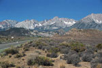
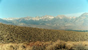
Mount Humphreys
and Highway 168 |
|
Mount Humphreys and Basin
Mountain from Silver Canyon Rd |
|
 |
|
 |
|
|
 |
|
 |
| Mount Johnson |
 |
 |
 |
 |
 |
 |
 |
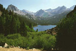
Hurd Peak, Mt. Johnson,
Mt. Gilbert, Mt. Thompson
and South Lake
(Bishop Pass Trailhead) |
|
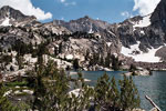
Mount Johnson and Lowest Treasure Lake |
|
 |
|
 |
| Hurd Peak |
 |
 |
 |
 |
 |
 |
 |
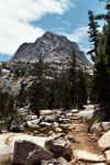
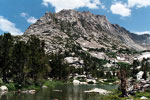
Hurd Peak,
Bishop Pass Trail
and South Lake |
|
Hurd Peak from
Treasure Lakes
Trail |
|
Hurd Peak and
Lowest Treasure Lake |
|
 |
|
 |
|
|
 |
|
 |
| North Palisade |
 |
 |
 |
 |
 |
 |
 |
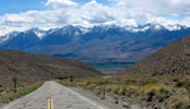
North Palisade
and First Lake |
|
Middle Palisade, North
Palisade and Highway 168 |
|
Middle Palisade
and North Palisade
from Sierra View |
|
 |
|
 |
|
|
 |
|
 |
| Middle Palisade |
 |
 |
 |
 |
 |
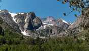
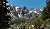
Middle Palisade and South Fork Big Pine Creek
from North Fork Trail |
|
 |
|
 |
| Birch Mountain |
 |
 |
 |
 |
 |
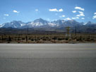
Birch Mountain
from Highway 395 |
|
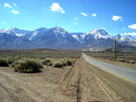
Split Mountain, Mount
Tinemaha and Birch
Mountain from Fuller Rd |
|
 |
|
 |
| Mount Tinemaha |
 |
 |
 |
 |
 |
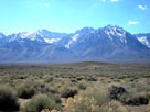
Mount Tinemaha,
Split Mountain
and Birch Mountain
from Highway 395 |
|
Split Mountain
and Mount Tinemaha
from Fuller Road |
|
 |
|
 |
| Split Mountain |
 |
 |
 |
 |
 |
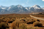
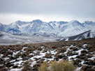
Split Mountain, Mount
Tinemaha and Birch
Mountain from Fuller Road |
|
Split Mountain from
Death Valley Road |
|
 |
|
 |
| Goodale Mountain |
 |
 |
 |
 |
 |
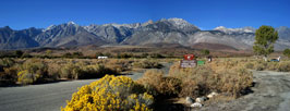
Goodale Mountain from
Taboose Campground |
|
Goodale Mountain and
Goodale Creek Campground |
|
 |
|
 |
| Nameless Pyramid |
 |
 |
 |
 |
 |
 |
 |
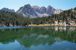
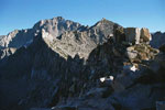
Nameless Pyramid
and Gilbert Lake |
|
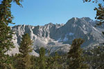
Nameless Pyramid from
Kearsarge Pass Trail |
|
Nameless Pyramid
from Kearsarge Pass |
|
 |
|
 |
| Moro Rock |
 |
 |
 |
 |
 |
 |
 |
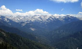
Moro Rock from
Generals Highway |
|
Moro Rock Trail |
|
Great Western Divide
from Moro Rock summit |
|
 |
|
 |
| Mount Williamson |
 |
 |
 |
 |
 |
 |
 |
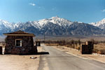
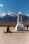
Mount Williamson from
Manzanar National Historic Site |
|
Mount Williamson
from Moffat Ranch Road |
|
 |
|
 |
| Mount Carillon |
 |
 |
 |
 |
 |
Mount Carillon and Tunnabora Peak
from Moffat Ranch Road |
|
 |
|
 |
|
|
 |
|
 |
| Mount Whitney |
 |
 |
 |
 |
 |
 |
 |
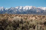
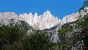
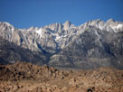
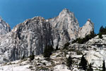
Mount Whitney from
Lone Pine Campground |
|
Mount Whitney
from Alabama Hills |
|
Mount Whitney from
North Fork Lone Pine
Creek Trail |
|
 |
|
 |
| Keeler Needle |
 |
 |
 |
 |
 |
 |
 |
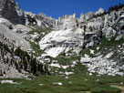
Crooks Peak, Keeler Needle
and Mount Whitney from
Whitney Portal Road |
|
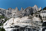
Crooks Peak, Keeler Needle
and Mount Whitney from
Lower Boy Scout Lake |
|
Crooks Peak, Keeler Needle
and Mount Whitney from
above Lower Boy Scout Lake |
|
 |
|
 |
| Crooks Peak (Day Needle) |
 |
 |
 |
 |
 |
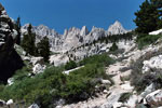
Crooks Peak, Keeler Needle
and Mt. Whitney from North
Fork Lone Pine Creek Trail |
|
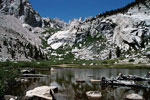
Crooks Peak from
Lower Boy Scout Lake |
|
 |
|
 |
| Thor Peak |
 |
 |
 |
 |
 |
 |
 |
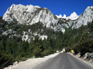
Thor Peak, Needles,
Mount Whitney and
Whitney Portal Road |
|
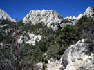
Thor Peak, Needles,
Mount Whitney and
Mount Whitney Trail |
|
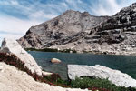
Thor Peak and
Upper Boy Scout Lake |
|
 |
|
 |
| Lone Pine Peak |
 |
 |
 |
 |
 |
 |
 |
Lone Pine Peak
from Whitney Portal Road |
|
Lone Pine Peak
and Movie Road |
|
Lone Pine Peak
and Eastern Sierra
Visitor Center (old) |
|
 |
|
 |
|
|
 |
|
 |
| Mount Langley |
 |
 |
 |
 |
 |
 |
 |
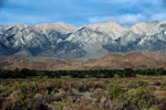
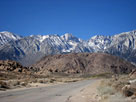
Mount Langley from Lone
Pine Narrow Gauge Road |
|
Mount Langley from
Whitney Portal Road |
|
Mount Langley from
Cottonwood Lakes Trail |
|
 |
|
 |
| Peak 3915m |
 |
 |
 |
 |
 |
|
Peak 3915m, Mount Langley
and Cottonwood Lakes Trail |
|
 |
|
 |
| Cirque Peak |
 |
 |
 |
 |
 |
|
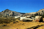
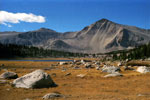
Cirque Peak and
Cottonwood Lakes from
Cottonwood Lakes Trail |
|
 |
|
 |
|
|
 |
|
 |
| Olancha Peak |
 |
 |
 |
 |
 |
 |
 |
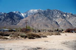
Olancha Peak from
Highway 395, near Olancha |
|
Olancha Peak
from Sage Flat Road |
|
Olancha Peak and
Owens Lake from
Cerro Gordo Road |
|
 |
|
 |
|
|
 |
|
 |
|
|
 |
|
 |
| Peak 6,366 |
 |
 |
 |
 |
 |
 |
 |
| Peak 6,366 from Walker Pass and Highway 178 |
|
Peak 6,366 from
Highway 178 |
|
 |
|
 |
| See also |
 |
|
|
|