| Parks & Reserves of Sierra Nevada |
 |
| Original photo collection of sceneries in, from and around Parks and Reserves (National Parks, National Monuments, National Forests, Wilderness Areas, State Parks, State Reserves, etc.) located in and around Sierra Nevada Mountains (Sierra Nevada, Sierra Nevada Range) and subranges (California/Nevada, USA). |
|
 |
|
 |
|
|
 |
|
 |
|
|
 |
 |
 |
 |
 |
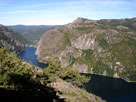
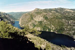
| Donnell Lake from Donnell Vista Point off Highway 108 |
|
 |
|
 |
|
|
 |
 |
 |
 |
 |
 |
 |
Sonora Bridge
Campground entrance |
|
Twin Lakes
Recreation Area |
|
Crags Campground
entrance |
|
 |
|
 |
|
|
 |
|
 |
|
|
 |
|
 |
|
|
 |
|
 |
| Hoover Wilderness |
 |
 |
 |
 |
 |
 |
 |
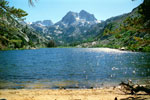
Crown Point
and Barney Lake |
|
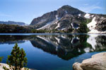
Crown Point
and Peeler Lake |
|
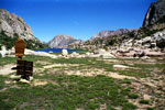
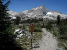
Kettle Peak and Snow Lake
from Rock Island Pass |
|
 |
 |
 |
 |
 |
 |
 |
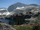
North Peak and
Greenstone Lake |
|
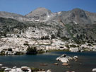
Noth Peak and
Steelhead Lake |
|
Shepherd Crest
and Cascade Lake |
|
 |
|
 |
| Yosemite National Park (Yosemite Wilderness) |
 |
 |
 |
 |
 |
 |
 |
Liberty Cap and
Nevada Fall from
John Muir Trail |
|
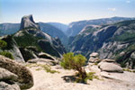
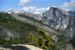
Half Dome, El Capitan
and North Dome from
Upper Quarter Dome |
|
Clouds Rest, North Dome
and Half Dome
fom Yosemite Point |
|
 |
 |
 |
 |
 |
 |
 |
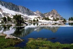
Cathedral Peak and
Upper Cathedral Lake |
|
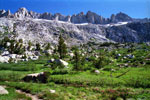
Ragged Peak and
Lower Young Lake |
|
Sawtooth Ridge
and Matterhotn Peak |
|
 |
|
 |
| Inyo National Forest |
 |
 |
 |
 |
 |
 |
 |
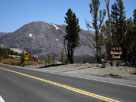
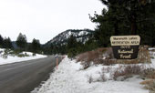
Tioga Peak and Tioga
Pass Rd from Tioga Pass |
|
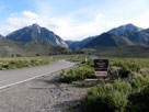
CA State Route 203
to Mammoth Lakes |
|
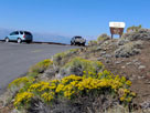
Mount Morrison and
Convict Lake Road |
|
 |
 |
 |
 |
 |
 |
 |
Sierra View and
White Mountain Road |
|
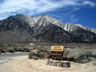
Lone Pine Peak from
Lone Pine Campground
entrance |
|
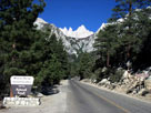
Mount Whiteny and
Whiteny Portal Road |
|
 |
|
 |
|
|
 |
 |
 |
 |
 |
 |
 |
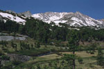
White Mountain
and Lee Vining Creek |
|
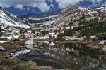
Mt. Conness (southeast peak)
and Lake 10,040+ |
|
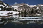
Mt. Conness (southeast peak)
and Green Treble Lake |
|
 |
|
 |
|
|
 |
|
 |
| Ansel Adams Wilderness |
 |
 |
 |
 |
 |
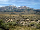
Mt. Gibbs and Mt. Dana
from Highway 395 |
|
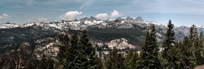
Ritter Range from Minaret Vista near Minaret Summit |
|
 |
|
 |
|
|
 |
|
 |
|
|
 |
 |
 |
 |
 |
 |
 |
The Buttresses from
Rainbow Falls Trail |
|
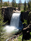
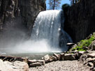
Rainbow Falls
(2nd Viewpoint) |
|
Rainbow Falls
(3rd Viewpoint) |
|
 |
|
 |
|
|
 |
|
 |
| John Muir Wilderness |
 |
 |
 |
 |
 |
 |
 |
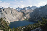
Bear Creek Spire, Mt. Dade,
Mt. Abbot and Ruby Lake |
|
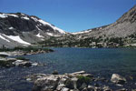
Piute Pass and Piute Lake |
|
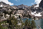
Mt. Goode and Mt. Johnson
from Lowest Treasure Lake
(Treasure Lakes) |
|
 |
 |
 |
 |
 |
 |
 |
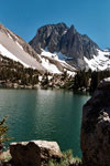
Temple Crag
and First Lake of
Big Pine Lakes |
|
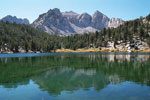
Nameless Pyramid
and Gilbert Lake |
|
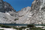
Mount Russell and
Upper Boy Scout Lake |
|
 |
|
 |
| Monarch Wilderness |
 |
 |
 |
 |
 |
Monarch Wilderness, Middle Fork Kings River
and Kings Canyon from Junction View |
|
|
 |
|
 |
|
|
 |
|
 |
| Sequoia National Park |
 |
 |
 |
 |
 |
 |
 |
Sequoia National
Park entrance and
Highway 198 |
|
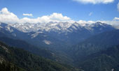
Great Western Divide
from Moro Rock summit |
|
Mineral King |
|
 |
|
 |
|
|
 |
|
 |
| Giant Sequoia National Monument |
 |
 |
 |
 |
 |
 |
 |
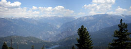
Kings Canyon and Sequoia National Parks
and Giant Sequoia National Monument
from Hume Road |
|
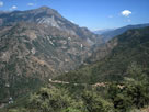
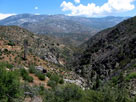
Kings Canyon and Highway
180 from Junction View |
|
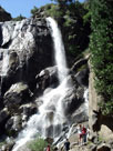
Grizzly Falls |
|
 |
 |
 |
 |
 |
 |
 |
Kings Canyon and Highway
180 from Junction View |
|
Kern Canyon from
Mountain Highway 99 |
|
Mountain Highway 99
near Johnsondale Bridge |
|
 |
|
 |
|
|
 |
|
 |
| Manzanar National Historic Site |
 |
 |
 |
 |
 |
 |
 |
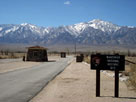
Mount Williamson
from Manzanar National
Historic Site entrance |
|
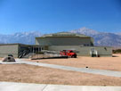
Manzanar Nat'l Historic
Site Visitor Center |
|
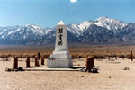
Mount Williamson and
Soul Consoling Tower
(Manzanar Cemetery) |
|
 |
|
 |
|
|
 |
|
 |
|
|
 |
|
 |
|
|
 |
|
 |
|
|
 |
|
 |
|
|
 |
|
 |
|
|
 |
|
 |
| See also |
 |
|
|
|