| Trailheads of Sierra Nevada |
 |
|
|
 |
|
 |
|
|
 |
|
 |
|
|
 |
|
 |
| Sonora Pass |
 |
 |
 |
 |
 |
 |
 |
|
 |
 |
 |
 |
 |
|
 |
|
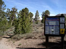
Pacific Crest Trail (north)
at Sonora Pass |
|
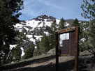
Pacific Crest Peak
(Peak 11,245) and
Pacific Crest Trail (south) |
|
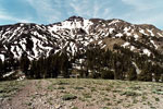
Pacific Crest Peak
and Sonora Pass |
|
|
 |
|
 |
| Leavitt Meadow (Leavitt Meadows) |
 |
 |
 |
 |
 |
 |
 |
|
 |
 |
 |
 |
|
 |
|
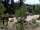
Leavitt Meadows Trailhead
(Leavitt Trailhead)
off Sonora Pass Highway |
|
Leavitt Meadows
Campground near Leavitt
Meadows Trailhead |
|
|
|
 |
|
 |
| Mono Village (Twin Lakes) |
 |
 |
 |
 |
 |
|
 |
 |
 |
 |
 |
|
 |
|
Upper Twin Lake
and Mono Village |
|
Barney Lake Trail
(Robinson Creek Trail)
into Hoover Wilderness |
|
Twin Peaks and Horse Creek
(above Horse Creek Trail) |
|
|
 |
|
 |
| Virginia Lakes |
 |
 |
 |
 |
 |
|
 |
 |
 |
 |
 |
|
 |
|
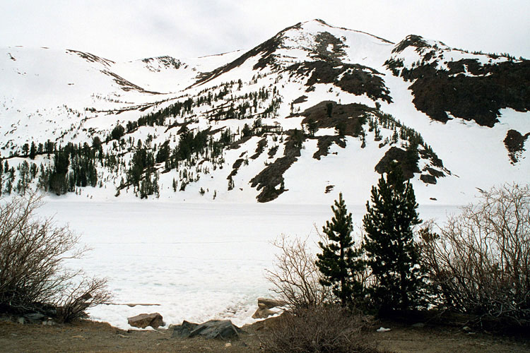
Black Mountain
and Big Virginia Lake
(Big Valley Lake) from
Virginia Lakes Trailhead |
|
Black Mountain and
Little Virginia Lake
(Little Valley) |
|
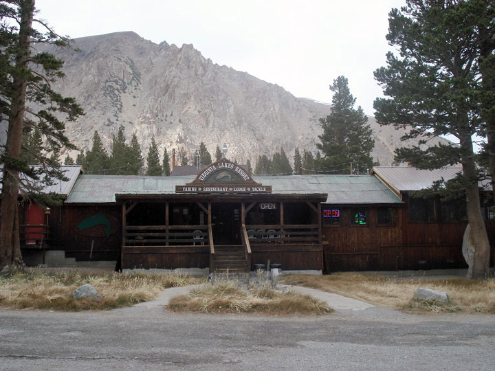
Virginia Lakes Resort |
|
|
 |
|
 |
| Saddlebag Lake Trailhead (Saddlebag Lake) |
 |
 |
 |
|
 |
 |
 |
 |
 |
|
 |
|
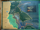
Vicinity map display at
Saddlebag Lake Trailhead |
|
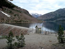
Saddlebag 104-039 Dam
and Saddlebag Lake near
Saddlebag Lake Trailhead |
|
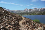
Shepherd Crest,
Excelsior Mountain
and Saddlebag Lake |
|
|
 |
|
 |
| Saddlebag Lake |
 |
 |
 |
 |
 |
|
 |
 |
 |
 |
 |
|
 |
|
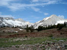
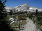
Mount Conness and
North Peak from
Lundy Pass Trail |
|
North Peak,
Greenstone Lake and
20 Lakes Basin Trail |
|
North Peak, Shepherd Crest
and Greenstone Lake
from Conness Lakes Trail |
|
|
 |
|
 |
| Tioga Pass |
 |
 |
 |
 |
 |
|
 |
 |
 |
 |
 |
|
 |
|
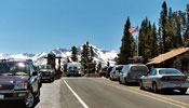
Tioga Pass Entrance,
Yosemite National Park and
Tioga Pass Road (Highway 120) |
|
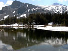
Peak 11,409 and Mount
Dana from Tioga Pass |
|
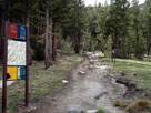
Gaylor Lakes Trailhead
at Tioga Pass |
|
|
 |
|
 |
| Tuolumne Meadows |
 |
 |
 |
 |
 |
|
 |
 |
 |
 |
 |
|
 |
|
Fairview Dome from
Cathedral Lakes Trail |
|
Pacific Crest Trail
(Glen Aulin Trail)
at Tuolumne Meadows |
|
John Muir Trail
(Lyell Canyon Trail)
at Tuolumne Meadows |
|
|
 |
|
 |
| Yosemite Valley |
 |
 |
 |
 |
 |
 |
 |
|
 |
 |
 |
 |
 |
 |
 |
|
 |
|
John Muir Trail
from Happy Isles |
|
Yosemite Falls from
Lower Yosemite
Falls Trail |
|
Yosemite Falls Trail |
|
Sentinel Falls and
4-Mile Trailhead |
|
|
 |
|
 |
| Glacier Point |
 |
 |
 |
 |
 |
|
 |
 |
 |
 |
 |
|
 |
|
Tenaya Canyon, Half Dome
and Glacier Point
from Four Mile Trail |
|
Panorama Trailhead/Pohono
Trailhead at Glacier Point |
|
Panorama Trailhead ('95) |
|
|
 |
|
 |
| Minaret Vista |
 |
 |
 |
 |
 |
|
 |
 |
 |
 |
 |
|
 |
|
Ritter Range
from Minaret Vista |
|
Minarets, Mount Ritter and Banner Peak
from San Joaquin Ridge Trail |
|
|
 |
|
 |
|
|
 |
|
 |
|
|
 |
|
 |
|
|
 |
|
 |
| Devils Postpile National Monument |
 |
 |
 |
 |
 |
 |
 |
 |
 |
 |
 |
|
 |
 |
 |
 |
 |
|
 |
|
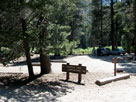
Devils Postpile Recreation
Site (Trailhead parking) |
|
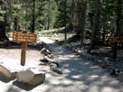
John Muir Trail signs
on Devils Postpile Trail |
|
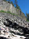
Devil's Postpile from
Devils Postpile Trail |
|
|
 |
|
 |
|
|
 |
|
 |
|
|
 |
|
 |
|
|
 |
|
 |
| Lake George |
 |
 |
 |
|
 |
 |
 |
 |
 |
 |
 |
|
 |
|
|
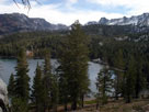
Lake George and
Mammoth Crest from
Mammoth Crest Trail |
|
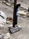
T.J.-Barrett Lakes Trailhead
(T.J. Lake Trailhead,
Barrett Lake Trailhead)
near Lake George |
|
|
|
 |
|
 |
|
|
 |
|
 |
|
|
 |
|
 |
| Mosquito Flat (Mosquito Flat Trailhead) |
 |
 |
 |
 |
 |
|
 |
 |
 |
 |
 |
|
 |
|
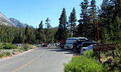
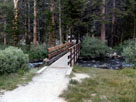
Mosquito Flat Trailhead
(Rock Creek Roadend) |
|
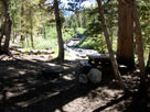
Mosquito Flat Backpacker
Campground and
Rock Creek |
|
Rock Creek and Mack
Lake Trail from south
end of Campground |
|
|
 |
|
 |
|
|
 |
|
 |
|
|
 |
|
 |
|
|
 |
|
 |
|
|
 |
|
 |
|
|
 |
|
 |
|
|
 |
|
 |
| Bishop Pass Trailhead (South Lake) |
 |
 |
 |
 |
 |
 |
 |
|
 |
 |
 |
 |
 |
|
 |
|
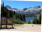
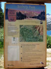
South Lake and Bishop Pass
Trailhead (South Lake-
Bishop Pass Trailhead) |
|
Hurd Peak, Mt. Johnson,
Mt. Gilbert, Mt. Thompson
and South Lake
from Bishop Pass Trail |
|
|
 |
|
 |
|
|
 |
|
 |
|
|
 |
|
 |
|
|
 |
|
 |
|
|
 |
|
 |
|
|
 |
|
 |
|
|
 |
|
 |
|
|
 |
|
 |
|
|
 |
|
 |
|
|
 |
|
 |
|
|
 |
|
 |
|
|
 |
|
 |
|
|
 |
|
 |
|
|
 |
|
 |
|
|
 |
|
 |
|
|
 |
|
 |
| Walker Pass |
 |
 |
 |
 |
 |
|
 |
 |
 |
|
 |
|
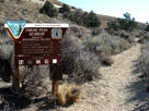
| Paicific Crest Trail (north) at Walker Pass |
|
|
 |
|
 |
|
|