| Streams (Rivers & Creeks) of Sierra Nevada |
 |
|
|
 |
|
 |
| Stanislaus River |
 |
 |
 |
 |
 |
 |
 |
 |
 |
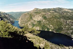
Donnell Lake (Middle Fork
Stanislaus River) from Donnell
Vista off Highway 108 |
|
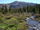
Sonora Peak and Deadman
Creek from Highway 108 |
|
 |
|
 |
| Tuolumne River |
 |
 |
 |
 |
 |
 |
 |
 |
 |
 |
|
 |
|
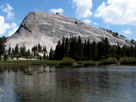
Lembert Dome and
Tuolumne River |
|
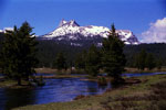
Cathedral Peak
and Tuolumne River |
|
Tuolumne River and
Glen Aulin Trail |
|
|
 |
 |
 |
 |
 |
 |
 |
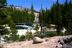
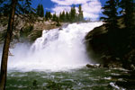
Tuolumne Falls
(Tuolumne River) |
|
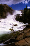
White Cascade from
Glen Aulin Trail |
|
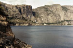
Hetch Hetchy Reservoir |
|
 |
|
 |
|
|
 |
 |
 |
 |
 |
 |
 |
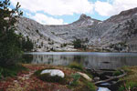
Cockscomb and Budd Lake
outlet (Budd Creek) |
|
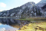
Elizabeth Lake inlet
(Unicorn Creek) |
|
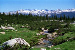
Mt. Lyell, Cathedral Range
and Dingley Creek |
|
 |
|
 |
| Merced River |
 |
 |
 |
 |
 |
|
 |
 |
 |
 |
 |
|
 |
|
Highway 140 (east)
and Merced River |
|
Pohono Bridge over Merced
River from Southside Dr,
Yosemite National Park |
|
El Capitan, Bridalveil
Fall and Merced River
from Valley View |
|
|
 |
 |
 |
 |
 |
 |
 |
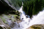
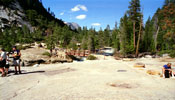
Merced River and Mist Trail
from top of Vernal Fall |
|
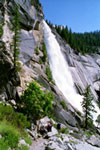
Nevada Fall
from Mist Trail |
|
Merced River and John Muir
Trail into Little Yosemite
Valley (top of Nevada Fall) |
|
 |
|
 |
| Merced River Tributaries |
 |
 |
 |
 |
 |
 |
 |
 |
 |
Illilouette Creek
and Illilouette Fall |
|
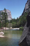
Mirror Lake outlet
(Tenaya Creek) |
|
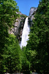
Yosemite Falls
(Yosemite Creek) |
|
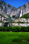
Bridalveil Fall
(Bridalveil Creek) |
|
 |
|
 |
| San Joaquin River |
 |
 |
 |
 |
 |
|
 |
 |
 |
 |
 |
|
 |
|
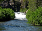
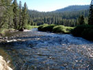
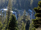
Middle Fork San Joaquin River
in Devils Postpile National Monument |
|
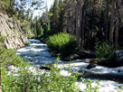
Middle Fork San
Joaquin River near Minaret
Falls Campground |
|
|
 |
 |
 |
 |
 |
 |
 |
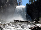
Minaret Falls from
Minaret Falls Campground |
|
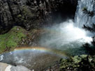
Rainbow Falls and Middle Fork San Joaquin River |
|
 |
|
 |
| Kings River |
 |
 |
 |
 |
 |
 |
 |
|
 |
 |
 |
 |
 |
|
 |
|
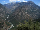
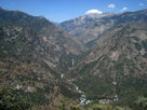
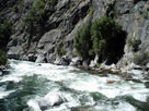
Middle Fork Kings River from Junction View
off Highway 180 |
|
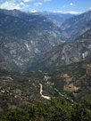
Kings Canyon
and Highway 180 |
|
|
 |
 |
 |
 |
 |
 |
 |
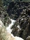
South Fork
Kings River
near Yucca Point |
|
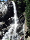
Grizzly Falls |
|
South Fork Kings River
from Highway 180 |
|
 |
|
 |
| Kern River |
 |
 |
 |
 |
 |
 |
 |
|
 |
 |
 |
 |
 |
|
 |
|
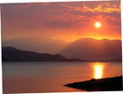
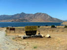
Lake Isabella from
South Fork Recreation Site
off Highway 178 |
|
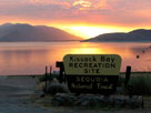
Lake Isabella from
Kissack Bay Recreation Site
off Highway 178 |
|
Lake Isabella
from Sierra Way |
|
|
 |
 |
 |
 |
 |
 |
 |
North Fork Kern River,
Kern Canyon and
Mountain Highway 99 |
|
North Fork Kern River, Johnsondale Bridge
and Mountain Highway 99 |
|
 |
|
 |
|
|
 |
|
 |
|
|
 |
|
 |
| West Walker River |
 |
 |
 |
|
 |
 |
 |
 |
 |
|
 |
|
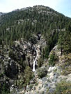
West Walker River and Leavitt Meadow
from Leavitt Falls Vista off Highway 108 |
|
Leavitt Falls
(Leavitt Creek) from
Leavitt Falls Vista |
|
|
 |
|
 |
|
|
 |
|
 |
|
|
 |
|
 |
| East Walker River Tributaries |
 |
 |
 |
 |
 |
 |
 |
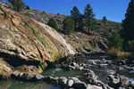
Buckeye Hot Spring
along Buckeye Creek |
|
Robinson Creek (?)
from Highway 395 |
|
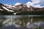
Little Virginia Lake
(Little Valley) of Virginia
Lakes (Virginia Creek) |
|
 |
|
 |
| Owens River |
 |
 |
 |
 |
 |
|
 |
 |
 |
 |
 |
|
 |
|
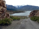
Lake Crowley from
Owens Gorge Road |
|
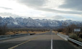
Highway 136 (west)
crossing Owens River |
|
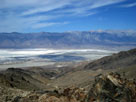
Owens Lake |
|
|
 |
|
 |
| Rivers & Creeks of Eastern Sierra [Photo Galleries] |
 |
 |
 |
 |
 |
 |
 |
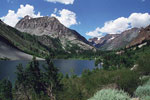
Gilcrest Peak and
Lundy Lake (Mill Creek)
from Lundy Lake Road |
|
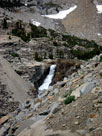
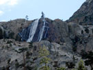
Ellery Lake Falls
(Lee Vining Creek)
from Highway 120 |
|
Horsetail Falls
(Rush Creek Falls)
from June Lake Loop |
|
 |
 |
 |
 |
 |
 |
 |
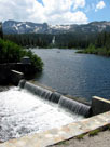
Mammoth Crest and
Twin Lakes outlet
(Mammoth Creek) |
|
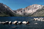
Laurel Mountain and Convict
Lake (Convict Creek) |
|
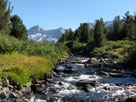
Bear Creek Spire
and Rock Creek |
|
 |
 |
 |
 |
 |
 |
 |
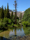
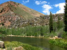
Middle Fork Bishop
Creek from Lake
Sabrina Road |
|
Peak 10,594 and
North Lake outlet (North
Fork Bishop Creek) |
|
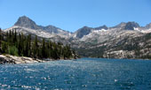
South Lake from Hillside
104-030 Dam (South
Fork Bishop Creek) |
|
 |
 |
 |
 |
 |
 |
 |
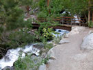
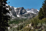
Big Pine Creek Trail and
North Fork Big Pine Creek |
|
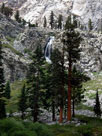
Middle Palisade and South
Fork Big Pine Creek from
North Fork Trail |
|
Golden Trout Falls
(Independence
Creek) from Golden
Trout Lakes Trail |
|
 |
 |
 |
 |
 |
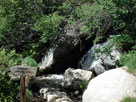
Mount Whiney Trail
crossing North Fork
Lone Pine Creek |
|
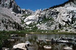
The Needles and Lower Boy
Scout Lake (North Fork
Lone Pine Creek) |
|