| Highways of Yosemite |
 |
| Original photo collections of sceneries along Highways (California State Routes, California State Highways) running in and through Yosemite National Park (Tuolumne, Mariposa and Madera Counties, California, USA). |
|
 |
|
 |
| Highway 120 (California State Route 120) Eastbound |
 |
 |
 |
|
 |
 |
 |
 |
 |
|
 |
|
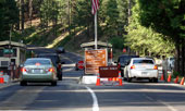
Big Oak Flat Entrance
and Highway 120
(Big Oak Flat Road) |
|
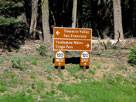
Highway 120 (Tioga Road)
at Crane Flat |
|
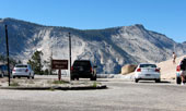
Clouds Rest and Olmsted
Point from Highway 120 |
|
|
 |
 |
 |
 |
 |
 |
 |
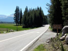
Highway 120 into
Tuolumne Meadows |
|
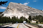
Lembert Dome, Highway 120
and Tuolumne
Meadows
Bridge over Tuolumne River |
|
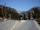
Tioga Pass Entrance
Station and Highway 120 |
|
 |
|
 |
| Highway 120 (California State Route 120) Westbound |
 |
 |
 |
|
 |
 |
 |
 |
 |
|
 |
|
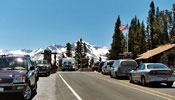
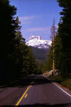
Mammoth Peak and Tioga
Pass from Highway 120
(Tioga Pass Road) |
|
Tioga Pass Entrance
and Highway 120 |
|
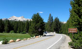
Cathedral Peak and
Highway 120 (west) |
|
|
 |
 |
 |
 |
 |
 |
 |
Unicorn Peak and Highway 120
into Tuolumne Meadows |
|
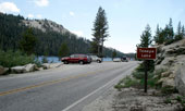
Tenaya Lake and
Highway 120 (west) |
|
Highway 120
at Crane Flat |
|
 |
|
 |
| Highway 140 (California State Route 140) |
 |
 |
 |
|
 |
 |
 |
 |
 |
|
 |
|
Highway 140 (east)
and Merced River |
|
Arch Rock Entrance and
Highway 140 (El Portal Road) |
|
The Cascades from
Highway 140 |
|
|
 |
 |
 |
 |
 |
 |
 |
| Big Oak Road junction |
|
Pohono Bridge
and Merced River
from Southside Drive |
|
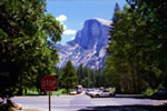
Half Dome from
Southside Drive
near Curry Village |
|
 |
|
 |
| Highway 41 (California State Route 41) |
 |
 |
 |
|
 |
 |
 |
 |
 |
|
 |
|
Highway 41 (north) into
Yosemite Natational Park |
|
South Entrance and
Highway 41 (Wawona Road) |
|
South Fork Merced River
and Wawona Campground
from Highway 41 |
|
|
 |
 |
 |
 |
 |
 |
 |
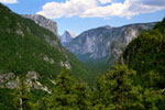
El Capitan, Half Dome,
Sentinel Dome and Yosemite
Valley from Highway 41 |
|
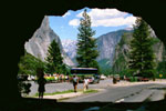
Tunnel View and Highway
41 from Wawona Tunnel |
|
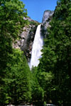
Bridalveil Fall from
Bridalveil Fall
Trailhead off
Highway 41 |
|