| Streams (Rivers & Creeks) of Yosemite |
 |
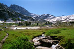
| Original photo collection of sceneries with and around Rivers and Creeks (Streams) running in and through Yosemite National Park (Tuolumne, Mariposa and Madera Counties, California, USA). |
|
|
|
|
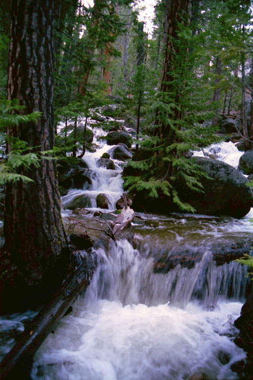
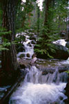
| Merced River |
|
 |
|
 |
|
 |
|
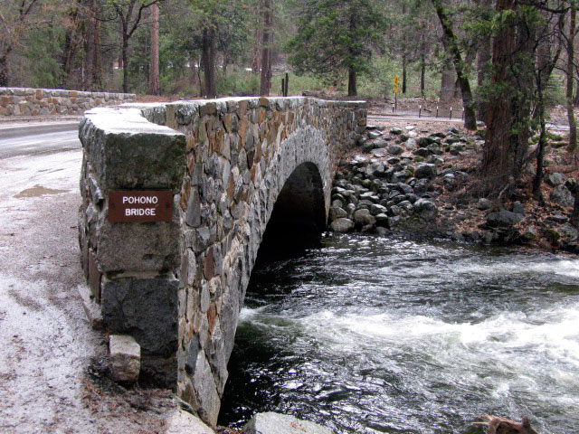
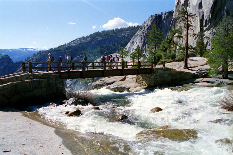
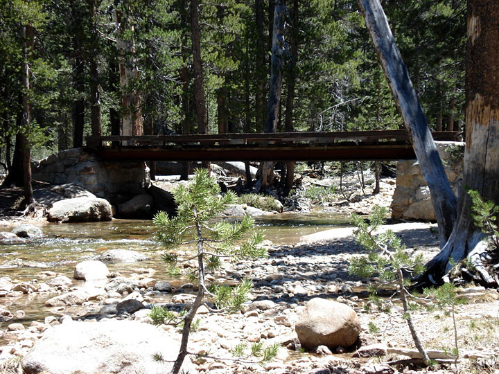
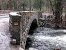
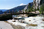
Pohono Bridge
over Merced River |
|
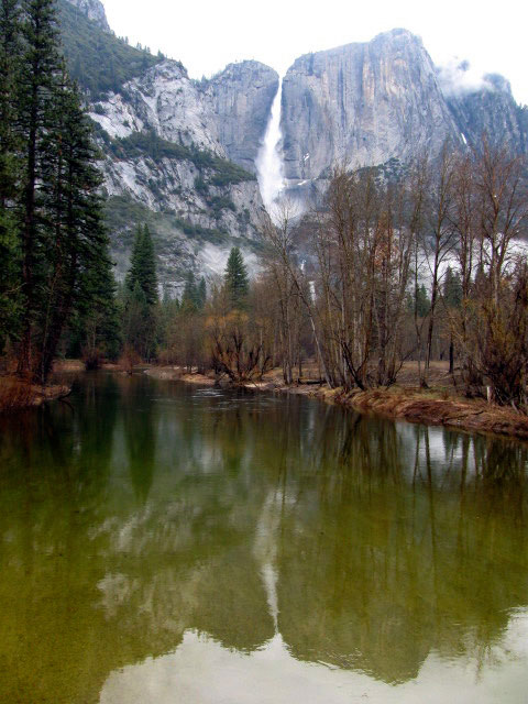
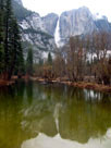
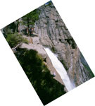
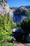
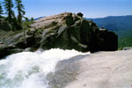
Yosemite Falls from
Swinging Bridge |
|
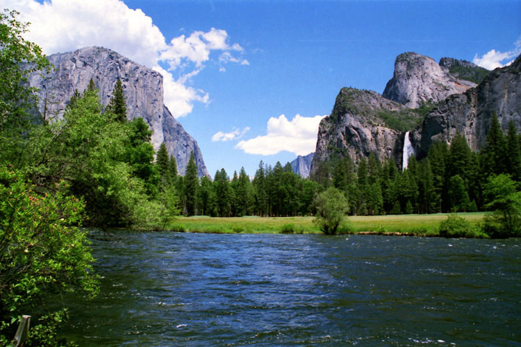
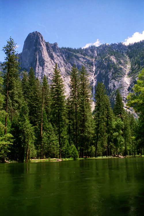
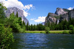
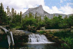
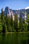
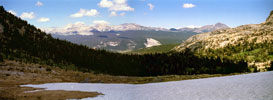
El Capitan, Cathedral
Rocks, Bridalveil Fall
and Merced River
from Valley View |
|
|
 |
|
 |
|
 |
|
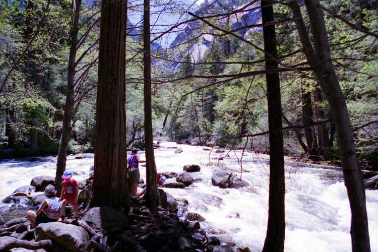
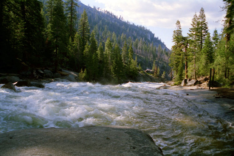
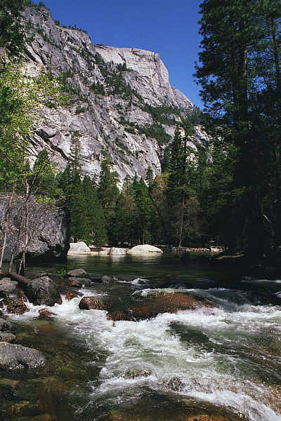
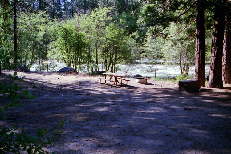
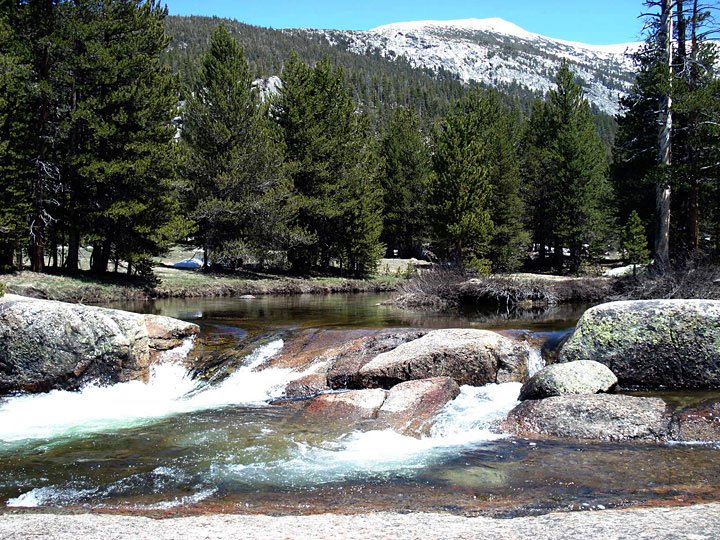
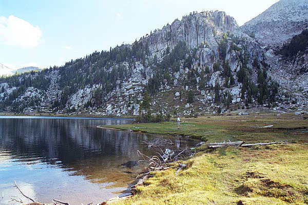
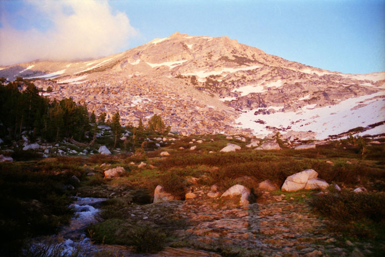
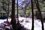
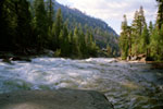
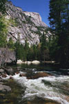
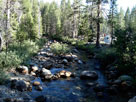
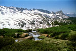
Merced River
near Happy Isles |
|
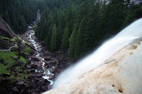
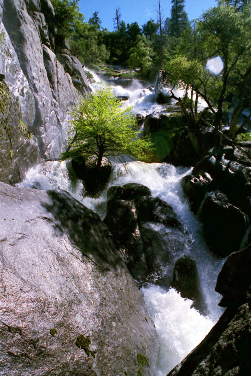
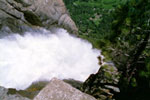
Merced River and Mist Trail
from top of Vernal Fall |
|
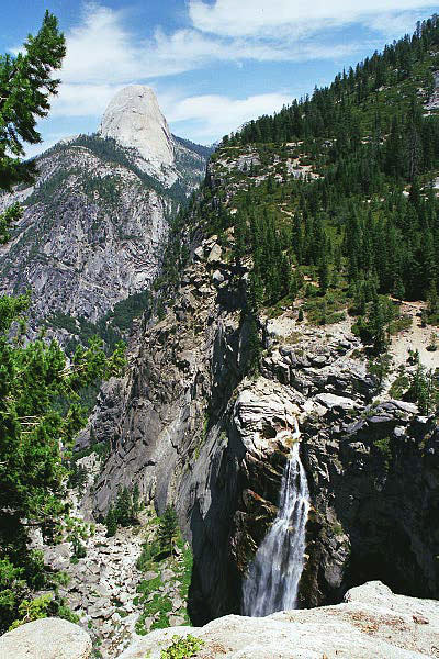
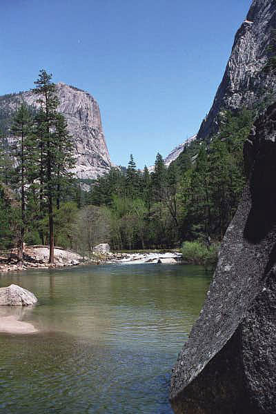
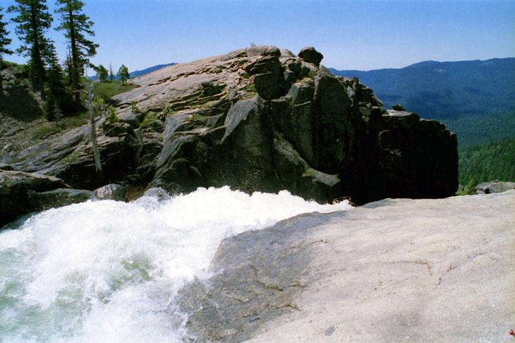
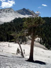
Merced River and John Muir
Trail (top of Nevada Fall) |
|
|
|
|
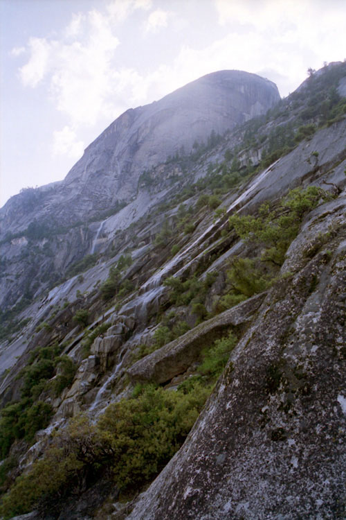
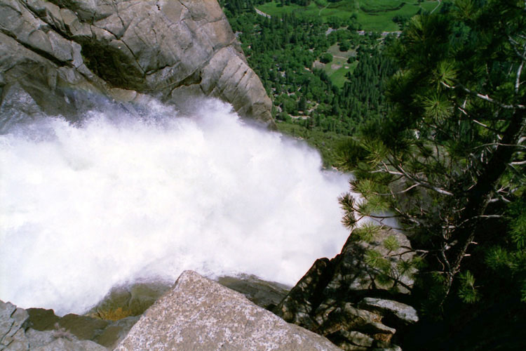
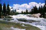
| Illilouette Creek |
|
 |
|
 |
|
 |
|
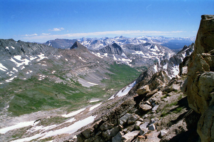
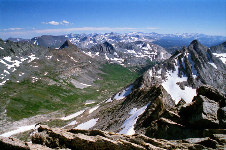
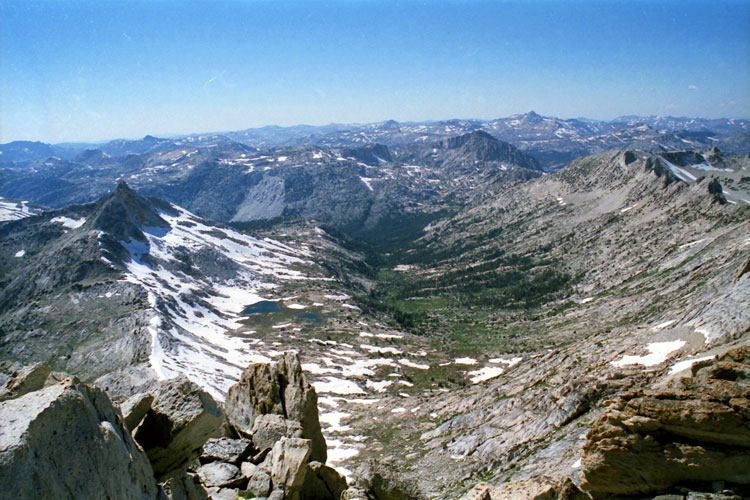
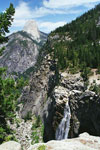
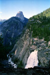
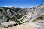
Half Dome, Illilouette Creek and
Illilouette Fall from Panorama Trail |
|
Top of Illilouette Fall |
|
|
|
|
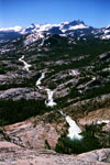
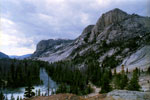
| Tenaya Creek |
|
 |
|
 |
|
 |
|
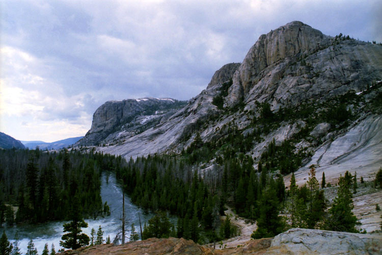
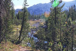
Washington Column
and Tenaya Creek |
|
Mirror Lake outlet
(Tenaya Creek) |
|
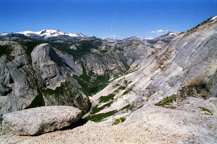
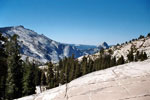
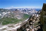
Mt. Hoffmann, Basket Dome
and Tenaya Canyon from
Upper Quarter Dome |
|
|
 |
|
 |
|
 |
|
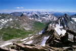
Clouds Rest, Half Dome
and Tenaya Canyon
from Olmsted Point |
|
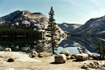
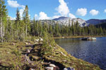
Polly Dome
and Tenaya Lake |
|
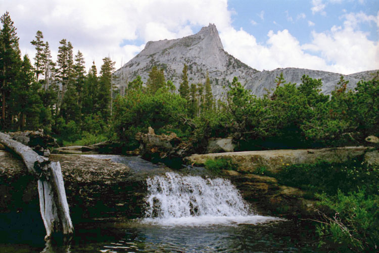
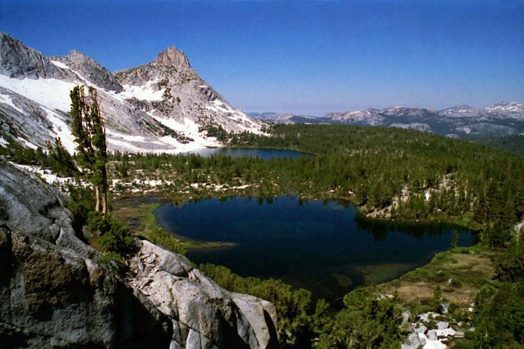
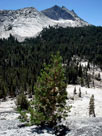
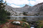
Cathedral Peak and
Lower Cathedral Lake outlet
(Tenaya Creek) |
|
|
|
|
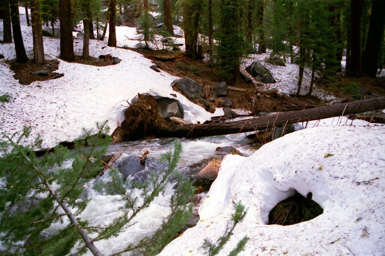
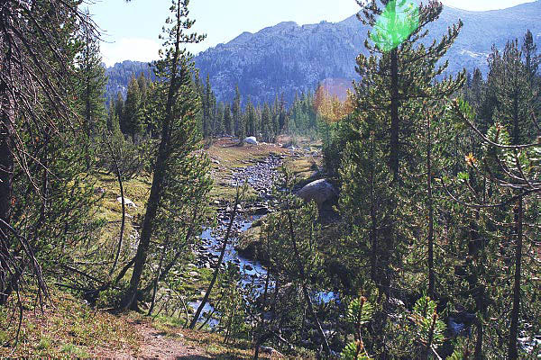
| Sunrise Creek |
|
 |
|
|
|
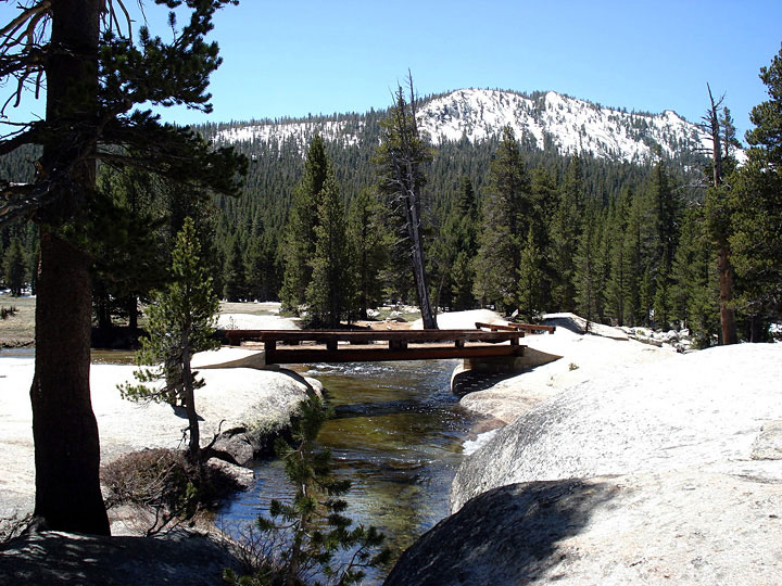
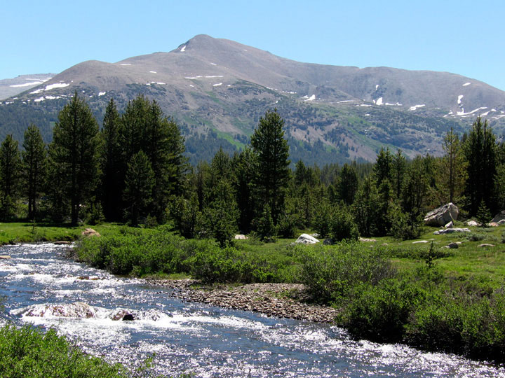
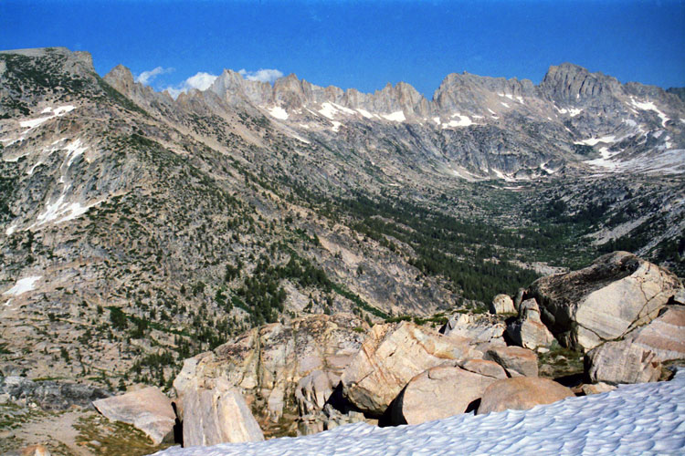
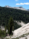
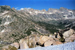
Sunrise Creek from
John Muir Trail
(Little Yosemite
Valley) |
|
|
|
|
|
|
|
|
|
|
|
|
|
|
|
|
|
|
|
|
| Yosemite Creek |
|
 |
|
 |
|
 |
|
Yosemite Creek
through Yosemite
Creek Campground |
|
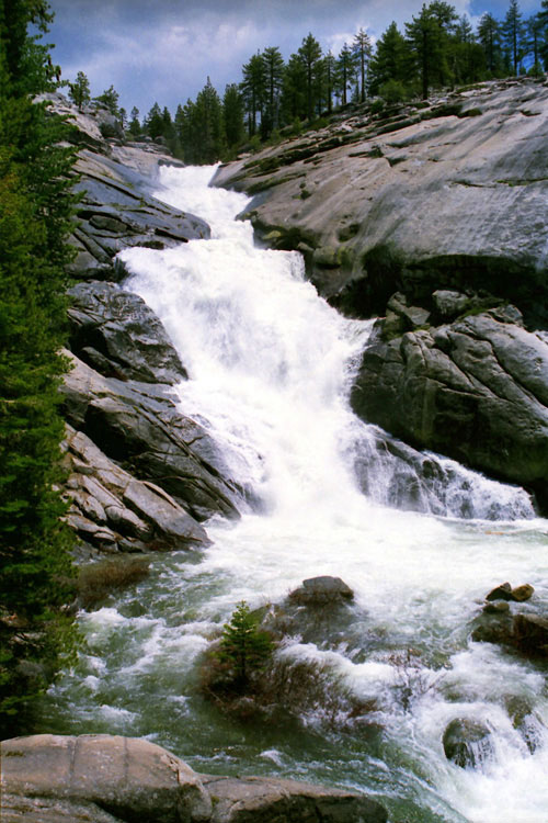
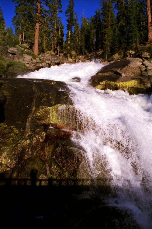
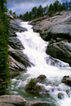
Top of Yosemite Falls
(Yosemite Creek) |
|
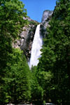
Upper Yosemite Fall |
|
|
|
|
| Sentinel Creek |
|
 |
|
 |
|
|
 |
|
|
|
|
|
Sentinel Rock,
Sentinel Falls
(Sentinel Creek)
and Merced River |
|
|
|
|
|
|
|
|
|
|
|
|
|
|
|
|
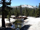
| Bridalveil Creek |
|
 |
|
 |
|
 |
|
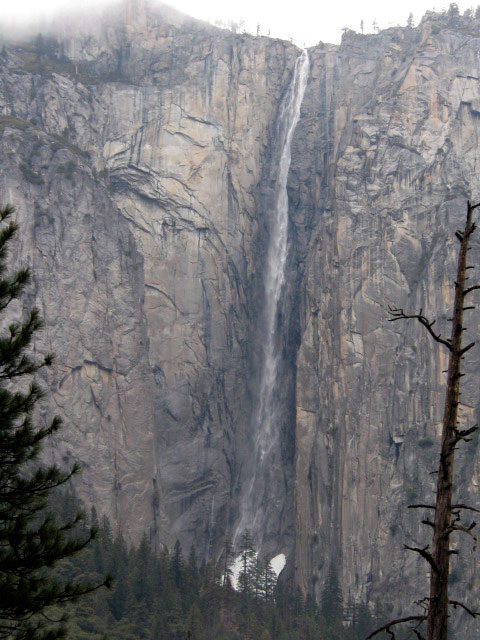
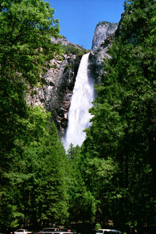
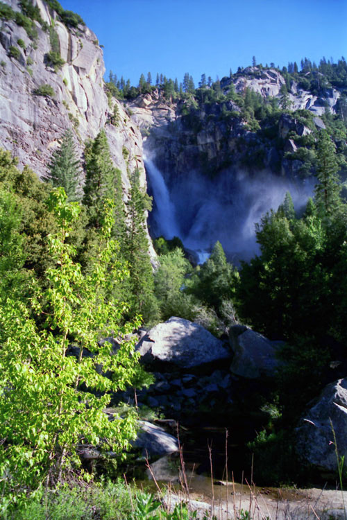
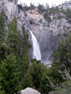
Bridalveil Fall
(Bridalveil Creek) |
|
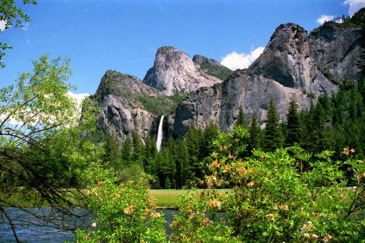
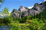
Cathedral Rocks, Bridalveil
Fall and Merced River
from Valley View |
|
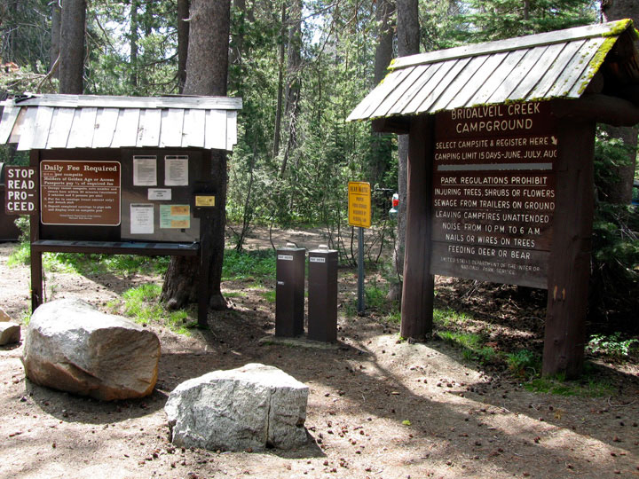
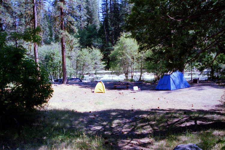
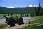
Bridalveil Creek
Campground |
|
|
|
|
| Cascade Creek |
|
|
|
|
|
|
 |
|
 |
|
 |
|
|
|
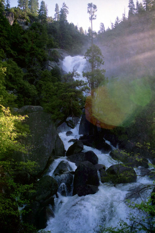
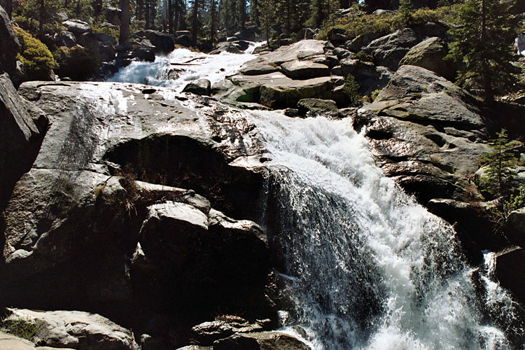
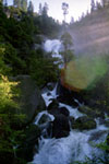
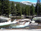
The Cascades (Cascade Creek)
from El Portal Road |
|
Upper Cascades
from Big Oak Rd |
|
|
|
|
|
|
|
|
|
|
| Chilnualna Creek |
|
 |
|
 |
|
 |
|
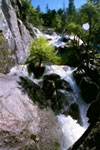
Chilnualna Creek
from Chilnualna
Falls Trail |
|
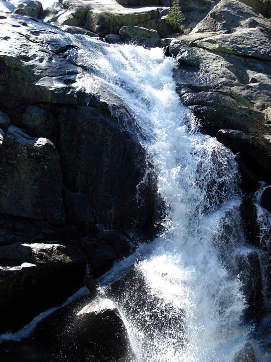
Top of Lower
Chilnualna Falls |
|
Upper Chilnualna
Falls |
|
|
|
|
| Tuolumne River |
|
 |
|
 |
|
 |
|
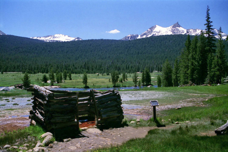
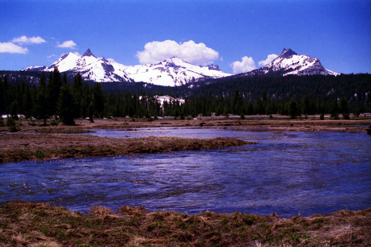
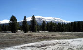
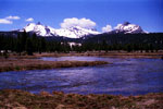
Unicorn Peak and Tuolumne
River at Soda Springs |
|
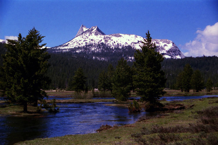
Cathedral Peak
and Tuolumne River |
|
Unicorn Peak, Cockscomb
and Tuolumne River
from Glen Aulin Trail |
|
|
 |
|
 |
|
 |
|
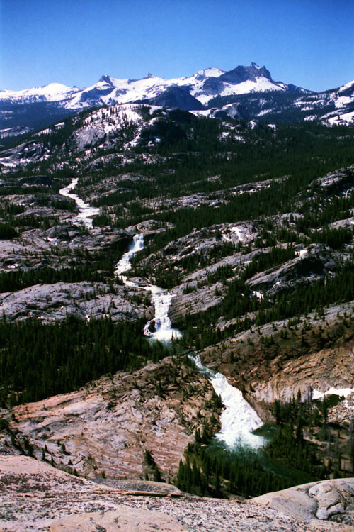
Tuolumne River
from Peak 8,886
near Glen Aulin |
|
Wildcat Point, Peak 8,886
and Tuolumne River |
|
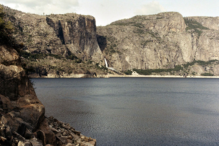
Hetch Hetchy Reservoir |
|
|
|
|
| Lyell Fork (Lyell Fork of Tuolumne River) |
|
 |
|
 |
|
 |
|
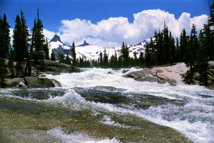
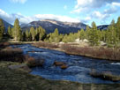
Lyell Fork and
Pacific Crest Trail |
|
Mammoth Peak and Lyell
Fork from John Muir Trail |
|
Lyell Fork |
|
|
|
|
|
|
|
|
|
| Dana Fork (Dana Fork of Tuolumne River) |
|
 |
|
 |
|
 |
|
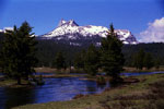
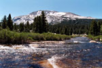
Mount Dana
and Dana Fork |
|
Mount Gibbs
and Dana Fork |
|
Mammoth Peak
and Dana Fork |
|
|
|
|
| Cathedral Creek |
|
 |
|
 |
|
 |
|
Cathedral Peak and Cathedral Creek
from south slope of Fairview Dome |
|
Tresidder Peak
and Cathedral Creek |
|
|
|
|
| Budd Creek |
|
 |
|
 |
|
Cockscomb and Budd Lake
outlet (Budd Creek) |
|
Mount Conness, White Mountain, Mount Dana
and Budd Creek (in woods) |
|
|
|
|
| Unicorn Creek |
|
 |
|
 |
|
 |
|
Unicorn Creek from
Elizabeth Lake Trail |
|
Johnson Peak
and Elizabeth Lake |
|
Elizabeth Lake inlet
(Unicorn Creek) |
|
|
|
|
| Delaney Creek |
|
 |
|
|
|
Unicorn Peak, Echo Peaks,
Cathedral Peak, Delaney
Creek and Tuolumne River |
|
|
|
|
|
| Dingley Creek |
|
 |
|
|
|
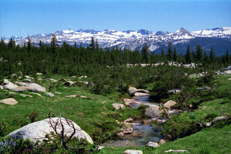
Mt. Lyell, Cathedral Range
and Dingley Creek
from Young Lakes Trail |
|
|
|
|
|
| Conness Creek |
|
 |
|
 |
|
 |
|
Ragged Peak, Lower Young
Lake and Middle Young Lake
from Young Lakes Trail |
|
Mount Conness (summit
in cloud) and Conness
Creek (tributary) |
|
Ragged Peak and Conness
Creek (tributary) from
Lake 10,560+ |
|
|
|
|
| Return Creek |
|
| Forthcoming... |
|
|
|
|
| Spiller Creek |
|
 |
|
 |
|
Virginia Peak, Stanton
Peak and Spiller Creek
from Matterhorn Peak
(southwest slope) |
|
Virginia Peak, Stanton
Peak, Spiller Creek and
Whorl Mountain from
Matterhorn Peak summit |
|
|
|
|
|
|
|
|
|
|
|
|
|
|
| Upper Piute Creek |
|
 |
|
 |
|
 |
|
Sawtooth Ridge, Matterhorn
Peak and Upper Piute Creek
from Mule Pass |
|
Matterhorn Peak, Burro
Pass and Upper Piute Creek
from Burro Pass Trail |
|
Finger Peaks, Crown
Point and Upper
Piute Creek from
Matterhorn Peak summit |
|
|
|
|
|
|
|
|
|
|
|
|
|
|
| See also |
|
|
|
|