| Trailheads of Yosemite |
 |
| Original photo collection of sceneries with, from and around Trailheads for hiking/backbacking Trails, located in Yosemite National Park (Tuolumne, Mariposa and Madera Counties, California, USA). |
|
 |
|
|
|
|
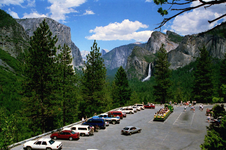
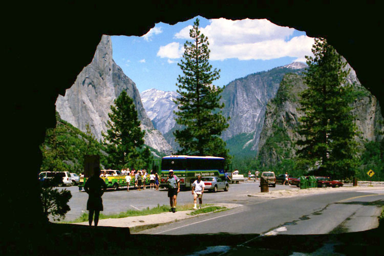
| Yosemite Valley |
|
 |
|
|
|
 |
|
|
 |
|
 |
|
 |
|
 |
|
|
|
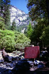
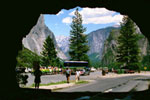
John Muir Trail
from Happy Isles |
|
Yosemite Falls from
Lower Yosemite
Falls Trail |
|
Yosemite Falls Trail |
|
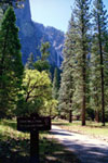
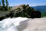
Sentinel Falls and
4-Mile Trailhead |
|
|
|
|
|
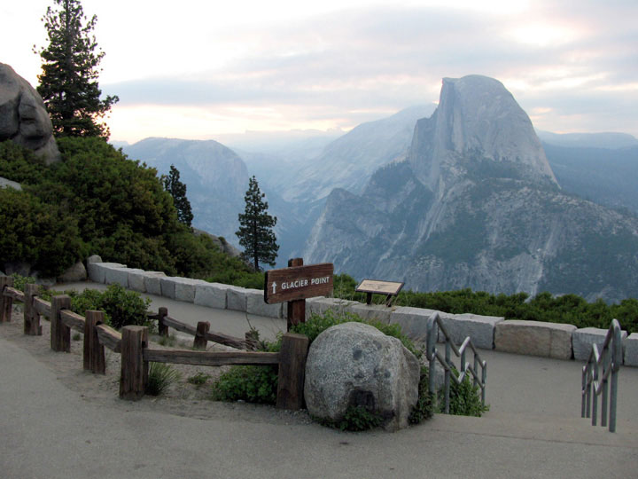
| Glacier Point |
|
|
|
 |
|
|
 |
|
 |
|
 |
|
|
|
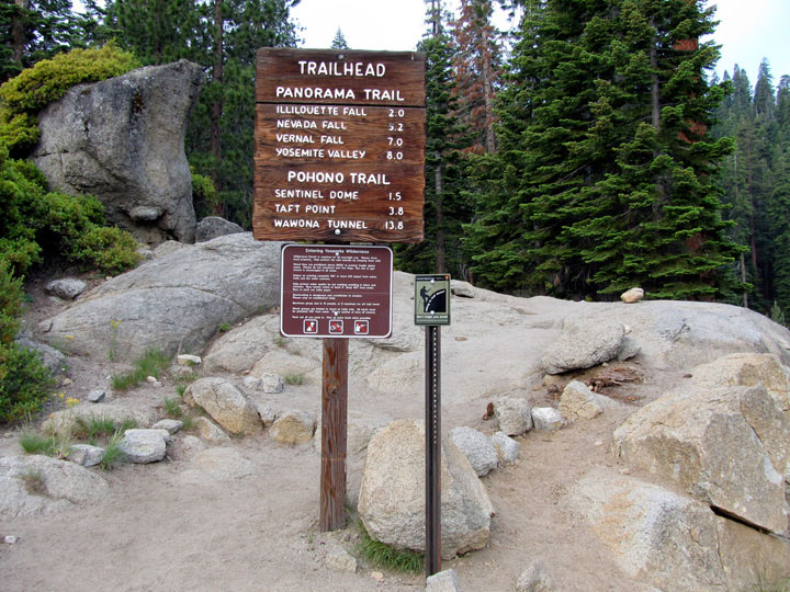
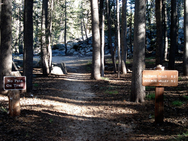
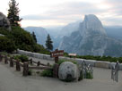
Panorama Trailhead/
Pohono Trailhead
at Glacier Point |
|
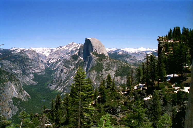
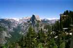
Half Dome from
Glacier Point Trail |
|
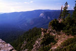
Tenaya Canyon, Half Dome
and Glacier Point
from Four Mile Trail |
|
|
|
|
|
| Glacier Point Road |
|
 |
|
 |
|
|
|
 |
|
|
 |
|
 |
|
|
|
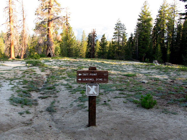
Taft Point/Sentinel
Dome Trailhead off
Glacier Point Road |
|
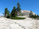
Sentinel Dome from
Sentinel Dome Trail |
|
|
|
|
|
| Wawona |
|
|
|
|
|
|
 |
|
 |
|
 |
|
|
|
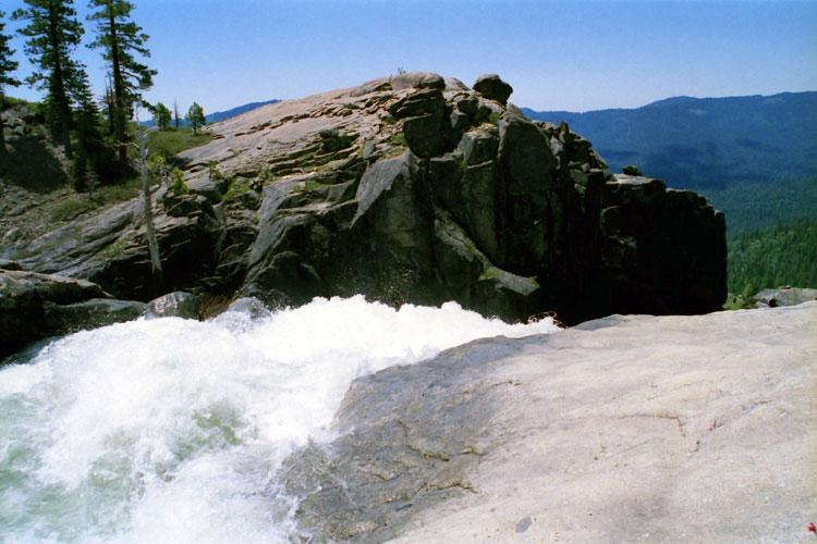
Top of Lower Chilnualna Fall
(Chilnualna Falls Trail) |
|
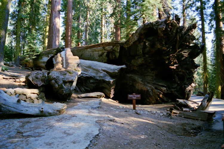
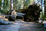
Fallen Tunnel Tree
at Mariposa Grove |
|
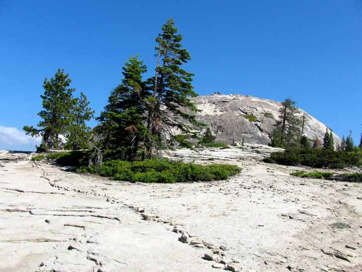
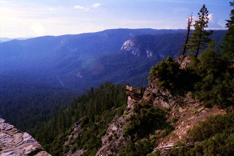
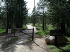
Wawona Dome
from Wawona Point |
|
|
|
|
|
| Tunnel View |
|
 |
|
|
|
|
 |
|
 |
|
|
|
Tunnel View
(Pohono Trailhead) |
|
Tunnel View and Wawona
Road from Wawona Tunnel |
|
|
|
|
|
|
|
|
|
|
|
|
|
|
|
|
|
|
|
|
|
|
|
|
|
|
|
|
|
|
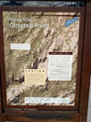
| Olmsted Point |
|
|
|
|
|
 |
|
|
 |
|
 |
|
 |
|
|
|
|
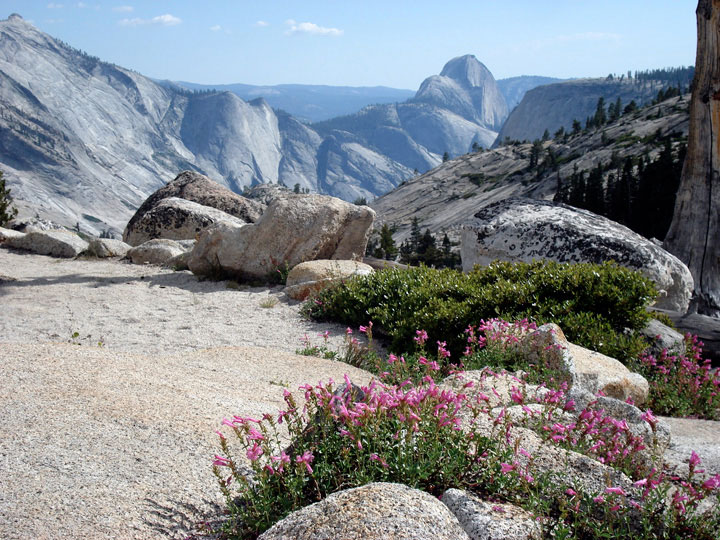
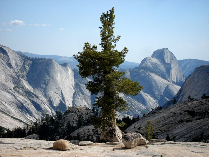
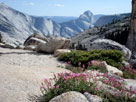
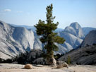
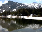
Quarter Domes and Half Dome
from Olmsted Point Scenic Overlook |
|
|
|
|
|
| Tuolumne Meadows |
|
|
|
|
|
|
 |
|
 |
|
 |
|
|
|
Fairview Dome from
Cathedral Lakes Trailhead |
|
Trail to Tuolumne River |
|
Trail to John Muir Trail |
|
|
|
 |
|
 |
|
 |
|
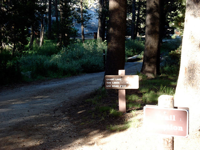
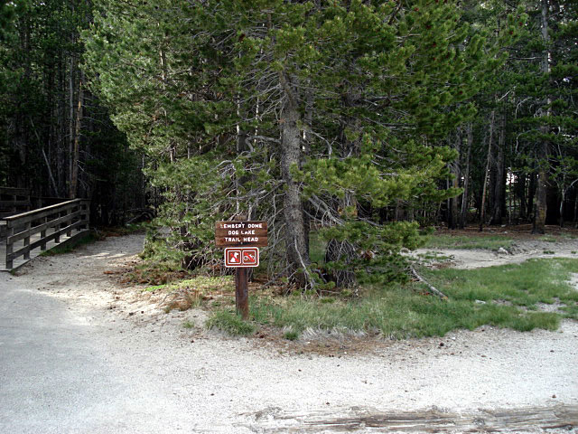
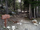
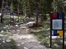
Lembert Dome/
Dog Lake Trailhead |
|
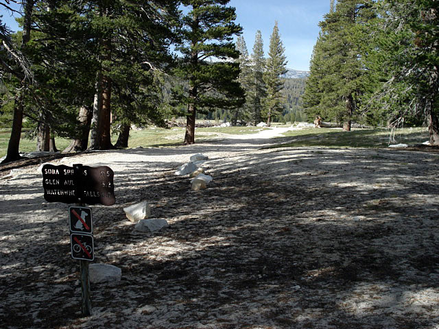
Pacific Crest Trail
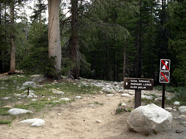
(Glen Aulin Trail) |
|
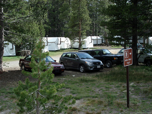
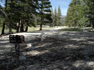
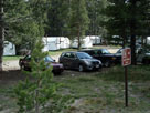
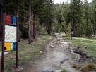
Trailhead at Stables |
|
|
 |
|
 |
|
 |
|
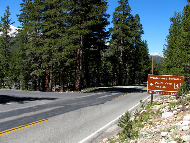
Tuolumne Lodge Road
and Tioga Road (west) |
|
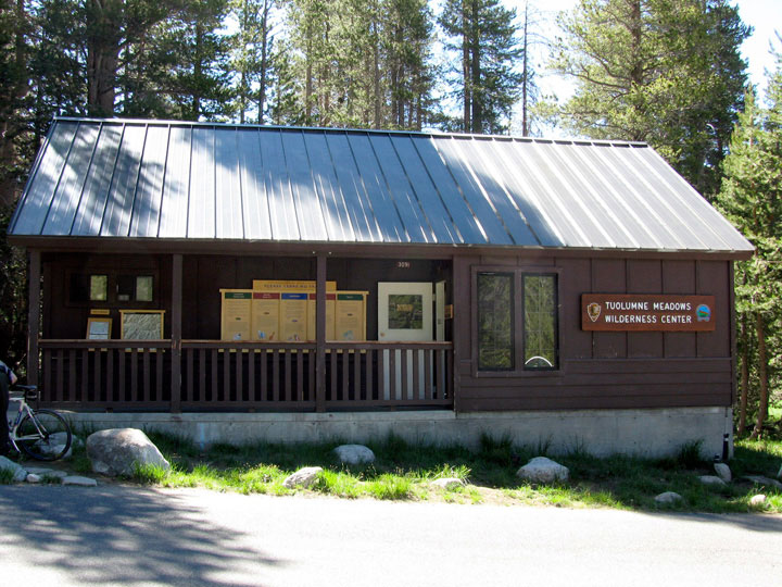
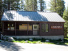
Tuolumne Meadows
Wilderness Center |
|
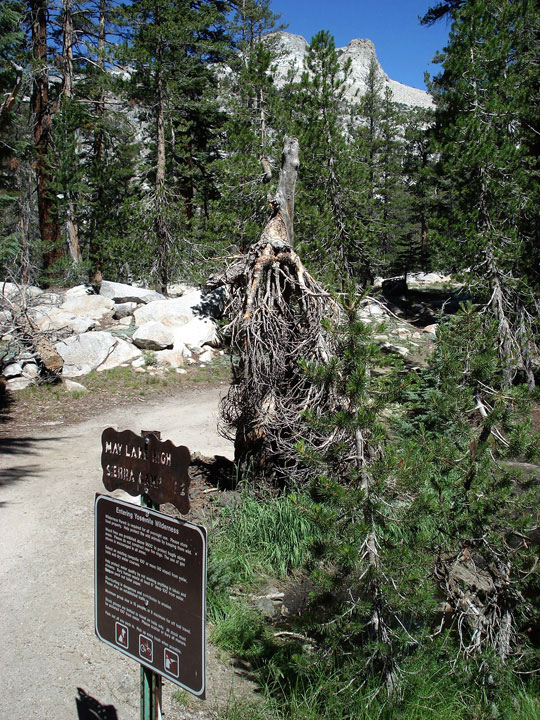
Young Lakes Trailhead
near Tuolumne Meadows
Lodge |
|
|
 |
|
 |
|
 |
|
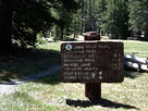
John Muir Trail sign in
Tuolumne Meadows Lodge |
|
John Muir Trail
(Lyell Canyon Trail) |
|
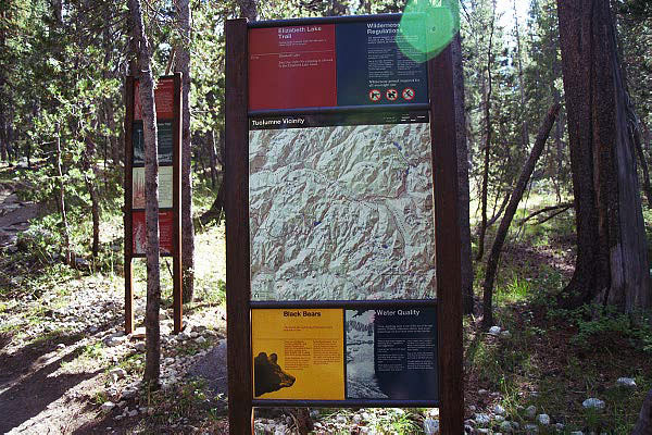
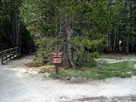
Elizabeth Lake Trailhead
in Tuolumne Meadows
Campground |
|
|
|
|
|
|
|
|
|
| Tioga Pass |
|
|
|
|
|
|
 |
|
 |
|
 |
|
|
|
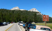
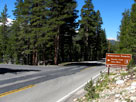
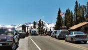
Tioga Pass Entrance,
Yosemite National Park and
Tioga Pass Road (Highway 120) |
|
Peak 11,409 and Mount
Dana from Tioga Pass |
|
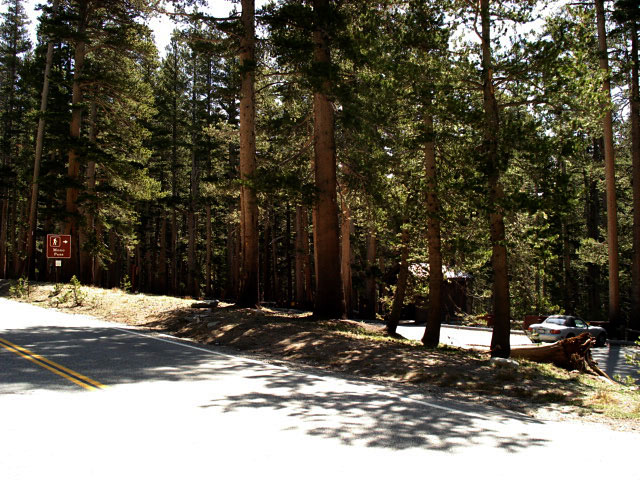
Gaylor Lakes Trailhead
at Tioga Pass |
|
|