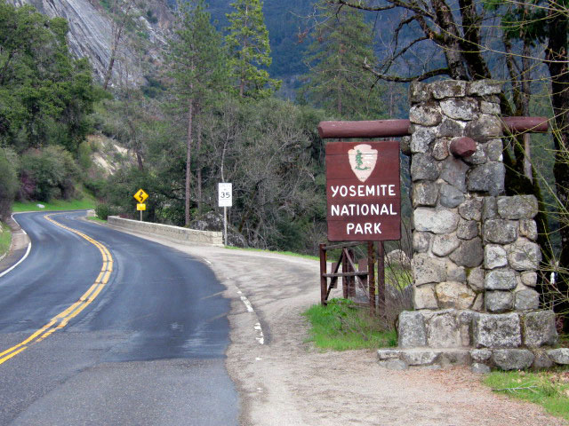
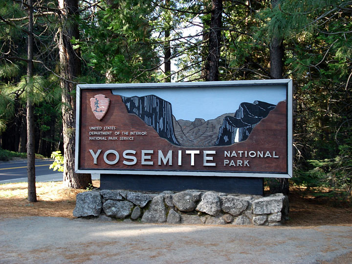
| Roads & Highways of Yosemite |
 |
|
|
|
|
|
|
|
|
|
|
| Southside Drive |
|
 |
|
|
 |
|
 |
|
 |
|
|
|
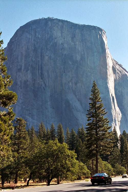
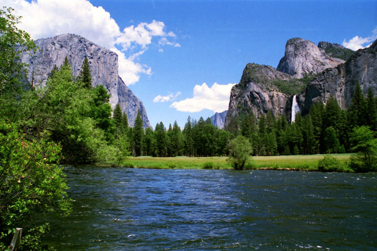
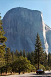
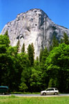
El Capitan and
Southside Drive |
|
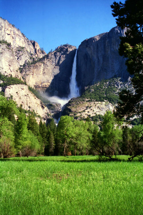
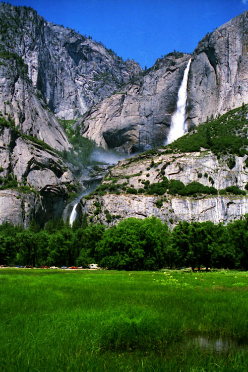
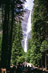
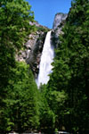
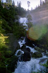
Yosemite Falls from
Southside Drive |
|
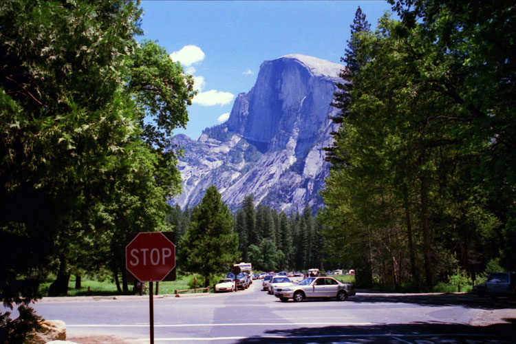
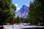
Half Dome from Southside
Drive near Curry Villlage |
|
|
|
|
|
|
|
|
|
|
|
|
|
|
|
|
|
|
|
|
| Northside Drive |
|
|
|
|
 |
|
 |
|
 |
|
|
|
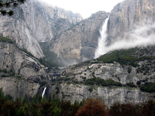
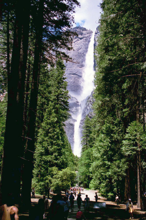
Yosemite Falls and
Lower Yosemite
Fall Trail |
|
El Capitan and
Northside Drive |
|
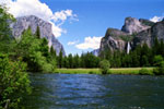
El Capitan, Cathedral Rocks,
Bridalveil Fall and Merced
River from Valley View |
|
|
|
|
|
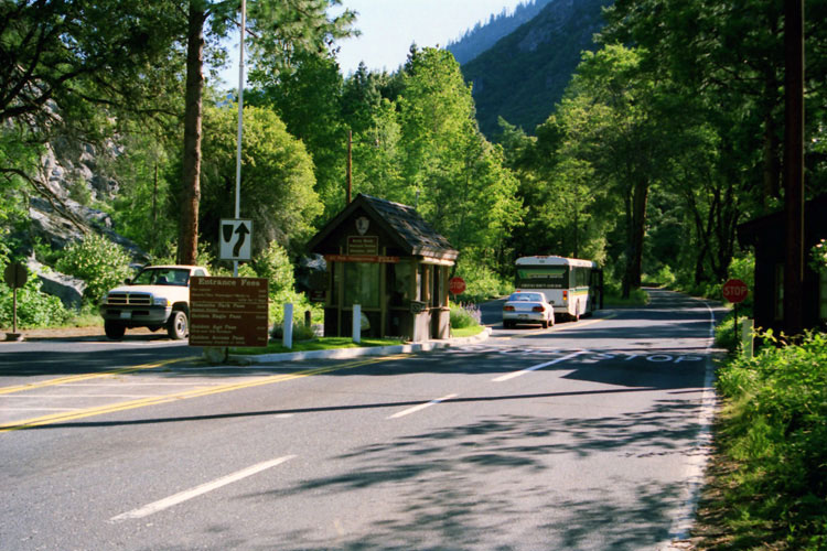
| Wawona Road (Highway 41) |
|
 |
|
 |
|
 |
|
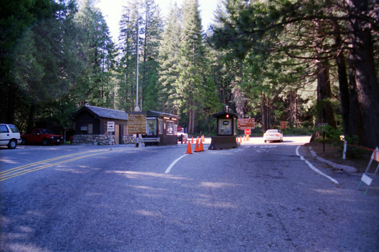
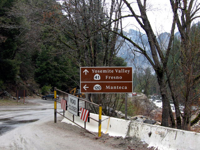
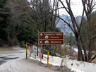
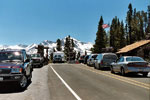
South Entrance and
Wawona Road (Highway 41) |
|
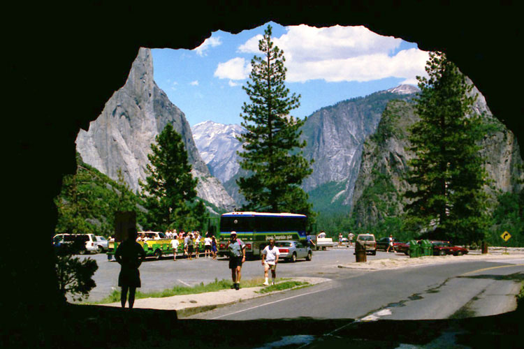
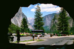
Wawona Tunnel
and Tunnel View |
|
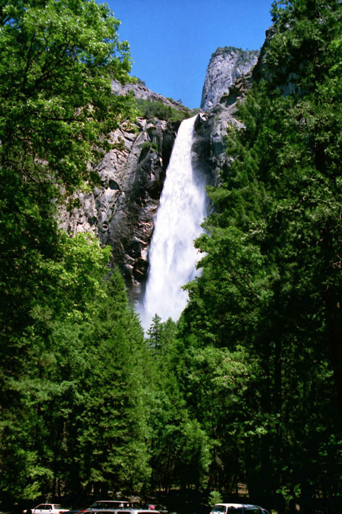
Bridalveil Fall
from Bridalveil Fall
Trailhead |
|
|
|
|
|
|
|
|
|
| Glacier Point Road |
|
 |
|
 |
|
|
 |
|
 |
|
 |
|
|
|
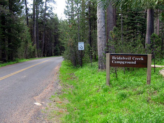
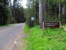
Bridalveil Creek
Campground entrance
off Glacier Point Road |
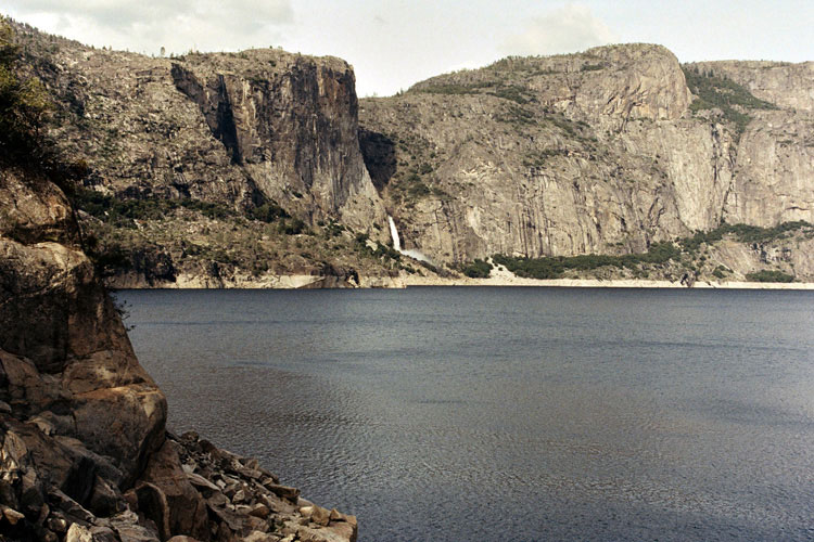
|
Washburn Point off
Glacier Point Road |
|
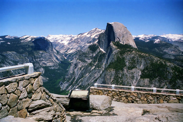
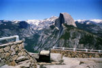
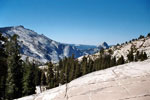
Tenaya Canyon and Half
Dome from Glacier Point |
|
|
|
|
|
|
|
|
|
|
|
|
|
|
|
|
|
|
|
|
| Big Oak Road |
|
 |
|
 |
|
 |
|
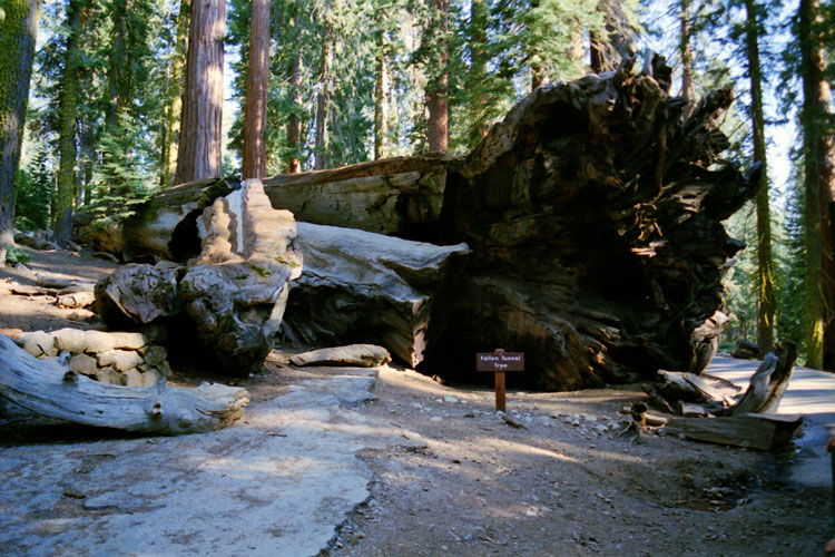
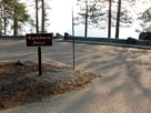
Big Oak Road (left) and
Big Oak Flat Road (right)
from Tioga Road
at Crane Flat |
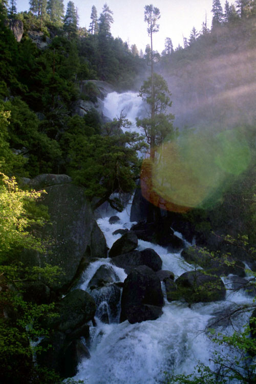
|
Upper Cascades
from Big Oak Rd |
|
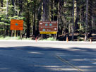
Big Oak Road junction
from El Portal Road |
|
|
|
|
| Tioga Road (Tioga Pass Road, Highway 120) |
|
 |
|
 |
|
 |
|
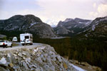
Clouds Rest, Quarter Domes
and Half Dome
from Olmsted Point |
|
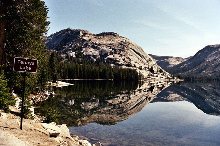
Polly Dome, Mt. Conness,
Tenaya Peak, Tenaya
Lake and Tioga Road |
|
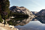
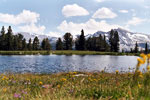
Polly Dome and Tenaya Lake
from Tioga Road |
|
|
 |
|
 |
|
 |
|
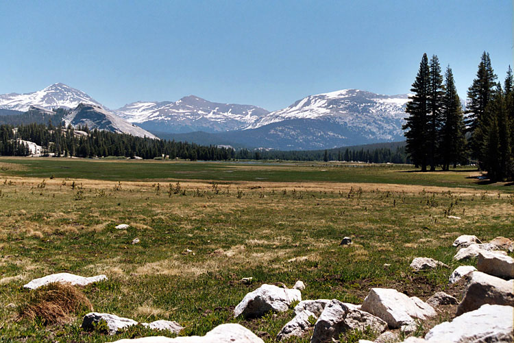
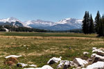
Tuolumne Meadows
from Tioga Road |
|
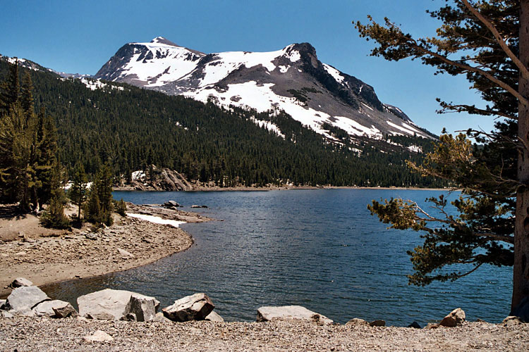
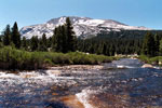
Mammoth Peak and Dana
Fork (Dana Meadows) |
|
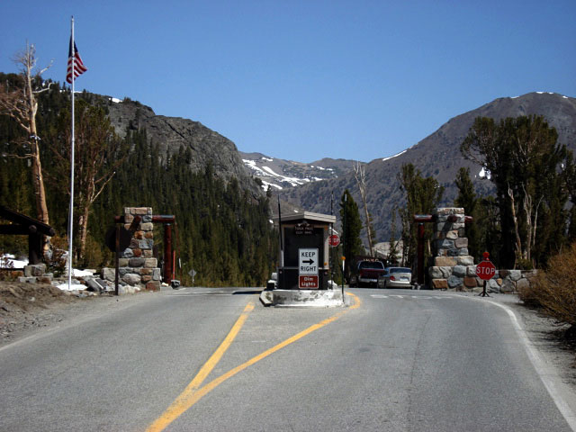
Tioga Pass
and Tioga Road |
|
|
|
|
|
|
|
|
|
|
|
|
|
|
|
|
|
|
|
|
|
|
|
|
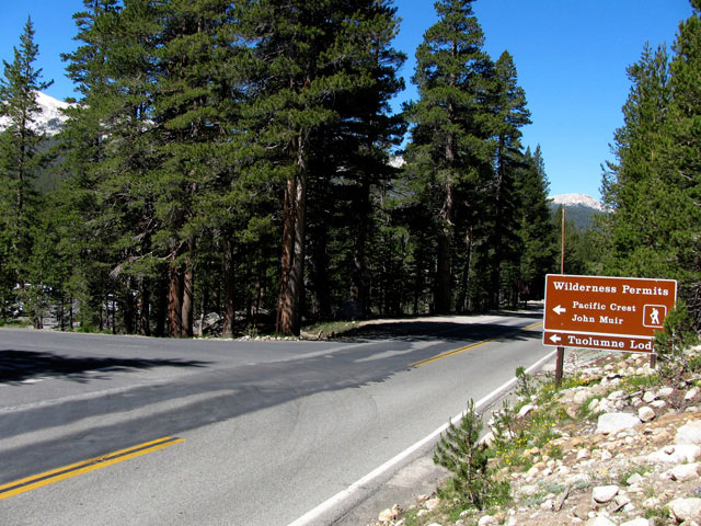
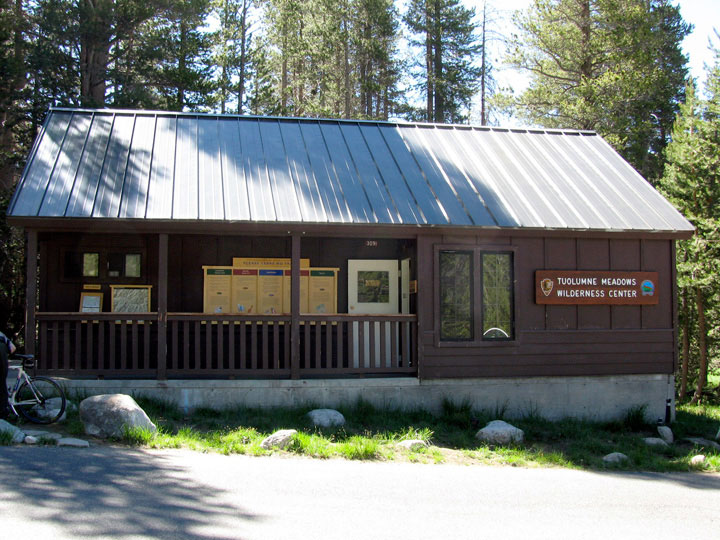
| Stables Road (Pacific Crest Trail) |
|
 |
|
 |
|
 |
|
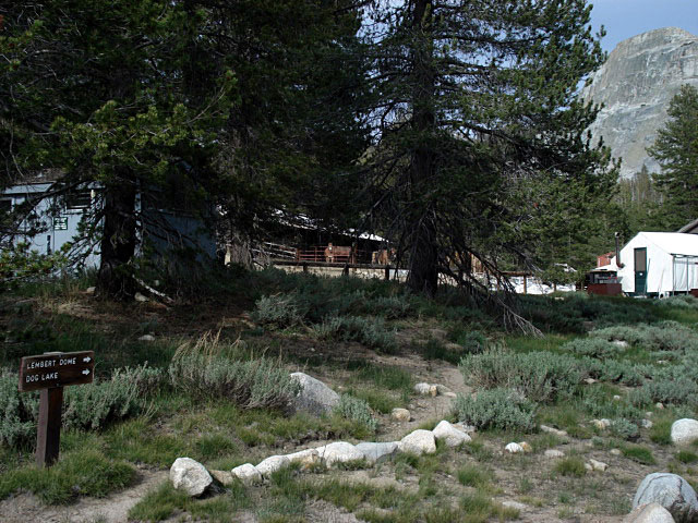
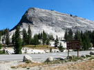
Lembert Dome and Tioga
Road at Stables
Road junction |
|
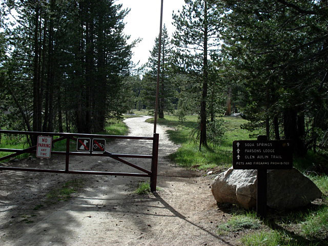
Glen Aulin Trail
(Pacific Crest Trail)
to Parsons Lodge |
|
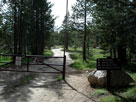
Tuolumne Meadows Stables |
|
|
|
|
|
|
|
|
|
| Tioga Pass Road (Highway 120) |
|
 |
|
 |
|
 |
|
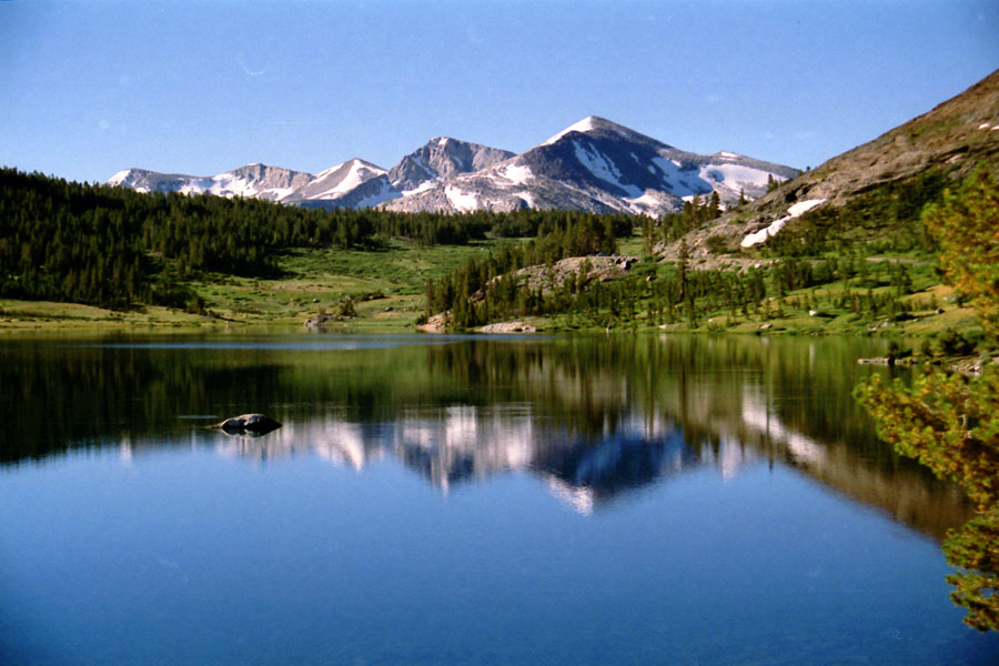
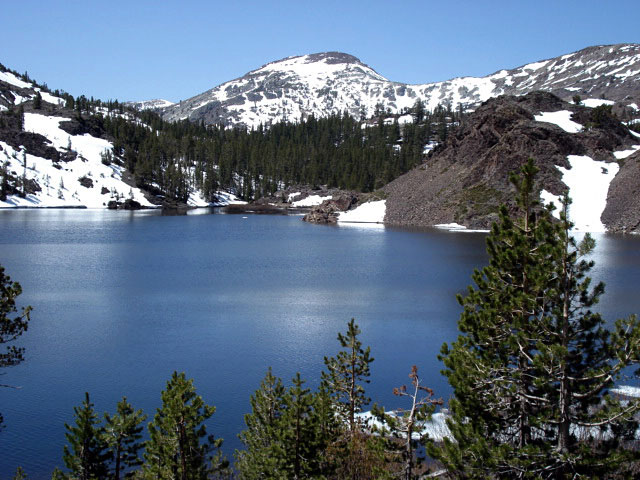
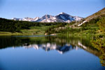
Mammoth Peak, Tioga Pass
and Tioga Lake from Tioga
Pass Road (Highway 120) |
|
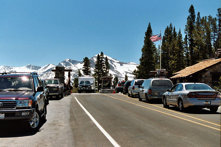
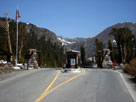
Tioga Pass Entrance
and Tioga Pass Road |
|
Kuna Crest and Mammoth
Peak from near Tioga Pass |
|
|
|
|
|
|