| Death Valley 2009 (Day 1) |
 |
|
|
|
|
|
| Stateline, Nevada - Highway 50 (U.S. Route 50) |
|
| No photos |
|
|
|
|
| Carson City, Nevada |
|
| No photos |
|
|
|
|
| Highway 395 (U.S. Route 395) |
|
 |
|
|
|
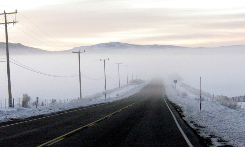
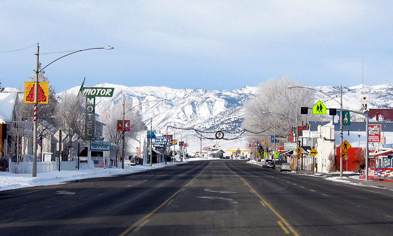
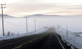
Highway 395 (south)
near Bridgeport |
|
|
|
|
|
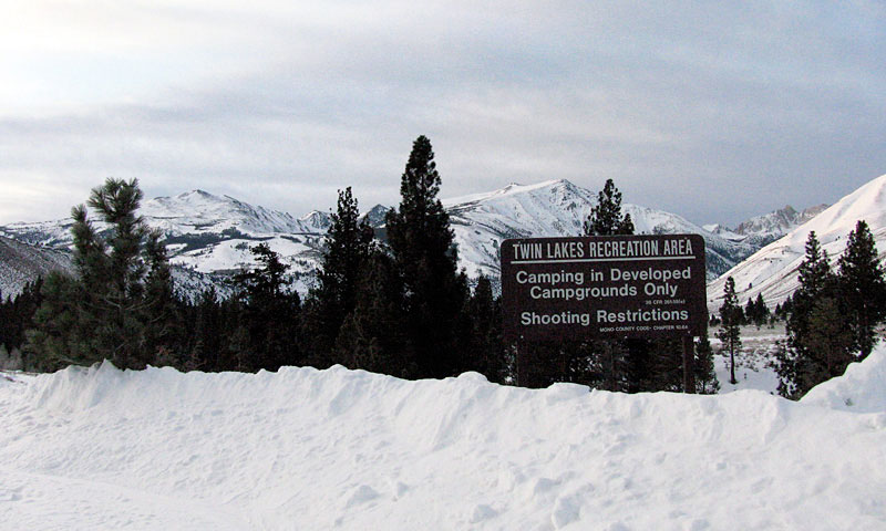
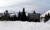
| Twin Lakes Road |
|
 |
|
 |
|
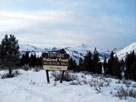
Monument Ridge, Crater Crest and Matterhorn Peak
from Twin Lakes Road |
|
|
|
|
| Twin Lakes |
|
 |
|
 |
|
 |
|
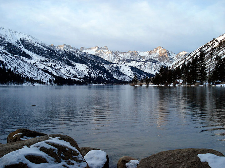
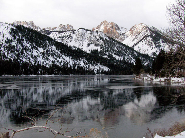
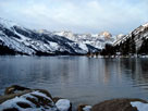
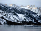
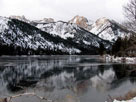
Matterhorn Peak, Sawtooth Ridge
and Lower Twin Lake |
|
Upper Twin Lake |
|
|
 |
|
 |
|
 |
|
|
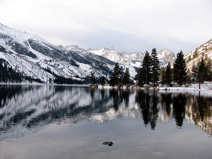
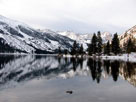
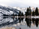
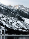
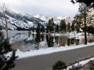
Matterhorn Peak, Sawtooth Ridge
and Lower Twin Lake |
|
|
 |
|
 |
|
 |
|
|
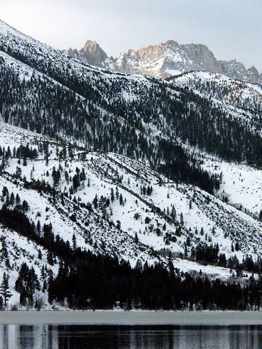
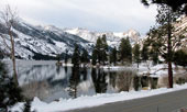
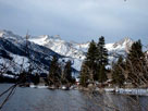
Matterhorn Peak, Sawtooth Ridge,
Lower Twin Lake and Twin Lakes Road |
|
|
 |
|
 |
|
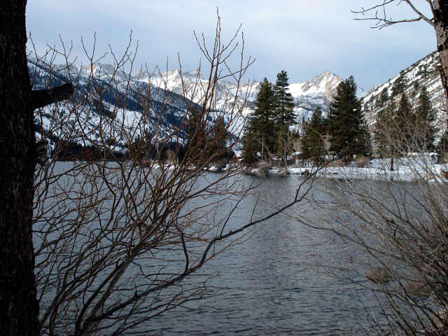
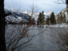
Matterhorn Peak, Sawtooth Ridge
and Lower Twin Lake |
|
|
|
|
|
|
|
|
|
| Highway 395 (U.S. Route 395) |
|
 |
|
 |
|
 |
|
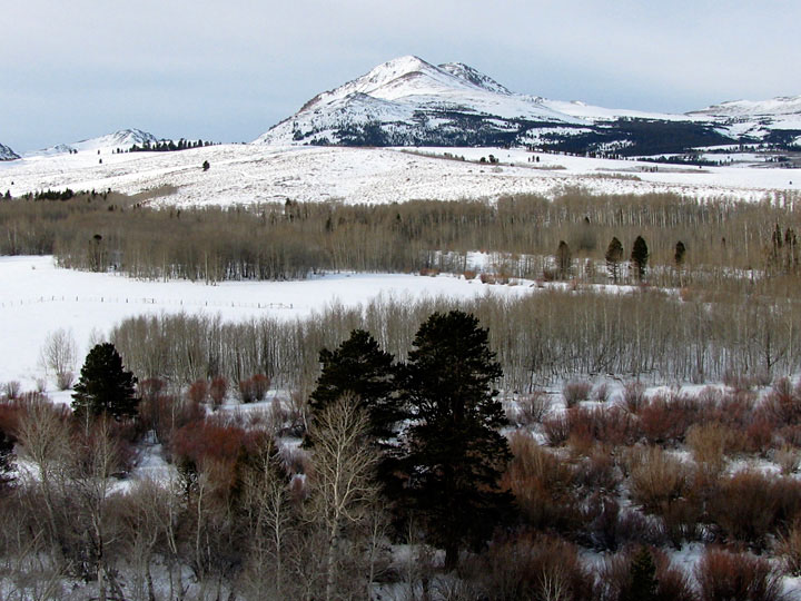
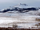
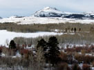
| Dunderberg Peak from Highway 395 |
|
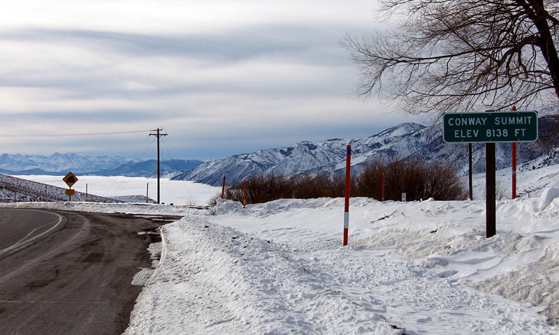
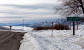
Conway Summit and
Highway 395 (south) |
|
|
|
|
|
|
|
|
|
 |
|
|
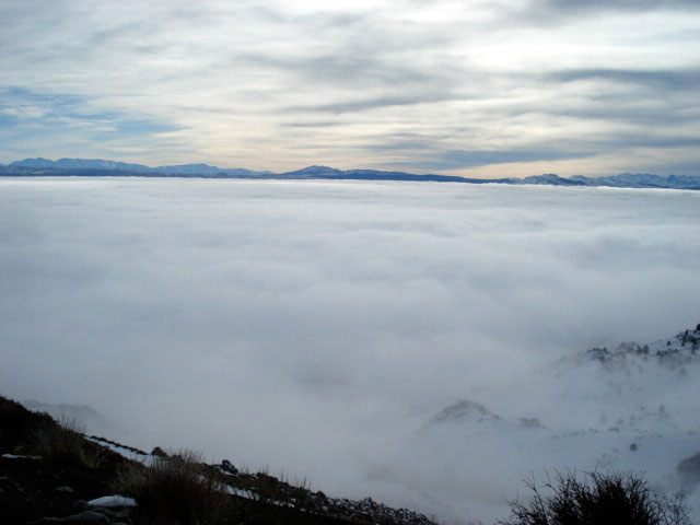
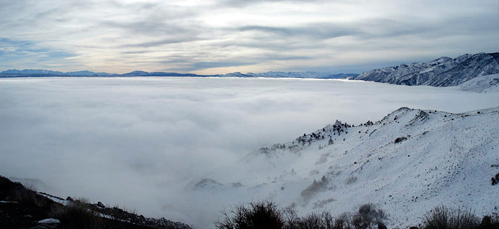
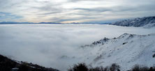
Mono Lake (in clouds)
from Mono Lake Vista |
|
|
|
|
|
|
|
|
|
|
|
|
 |
|
 |
|
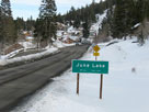
Town of June Lake
and June Lake Loop |
|
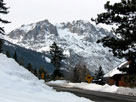
Carson Peak and
June Lake Loop |
|
|
|
|
| Long Valley |
|
 |
|
 |
|
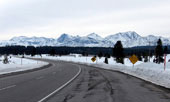
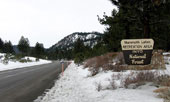
Sherwin Range and
Highway 395 (south) |
|
Highway 203 to Mammoth Lakes |
|
|
 |
|
 |
|
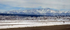
Northeast rim of Long Valley Caldera
from Highway 395 |
|
|
 |
|
Northeast rim of Long Valley Caldera
from Highway 395 |
|
|
|
|
|
|
|
 |
|
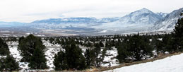
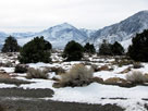
Mount Tom and Round Valley
from Lower Rock Creek Road |
|
|
 |
|
 |
|
 |
|
| Mount Tom and Wheeler Ridge from Lower Rock Creek Road |
|
|
 |
|
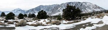
| Mount Tom and Wheeler Ridge from Lower Rock Creek Road |
|
|
 |
|
 |
|
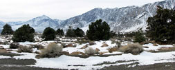
| Mount Tom and Wheeler Ridge from Lower Rock Creek Road |
|
|
 |
|
|
|
Mount Tom from
Lower Rock Creek Road |
|
|
|
|
|
| Bishop |
|
 |
|
|
|
Mount Tom and
Highway 395 (north) |
|
|
|
|
|
| Big Pine |
|
 |
|
 |
|
 |
|
Town of Big Pine and
Highway 395 (south) |
|
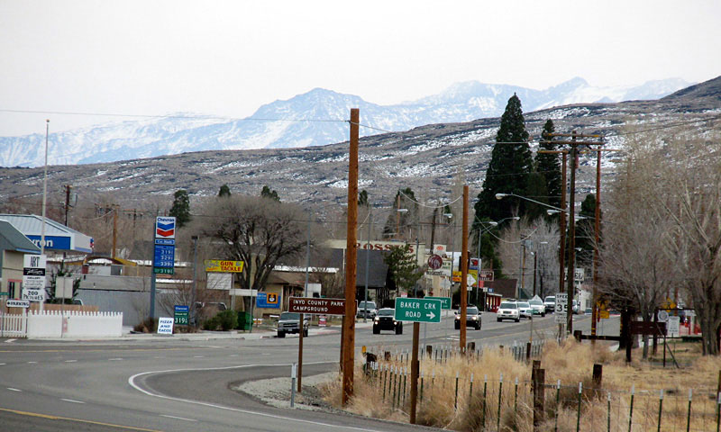
Highway 395 (north)
and Highway 168 |
|
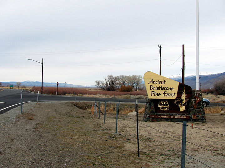
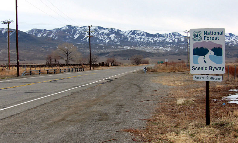
Highway 168 (Ancient
Bristlecone Scenic Byway) |
|
|
|
|
| Death Valley Road |
|
 |
|
 |
|
 |
|
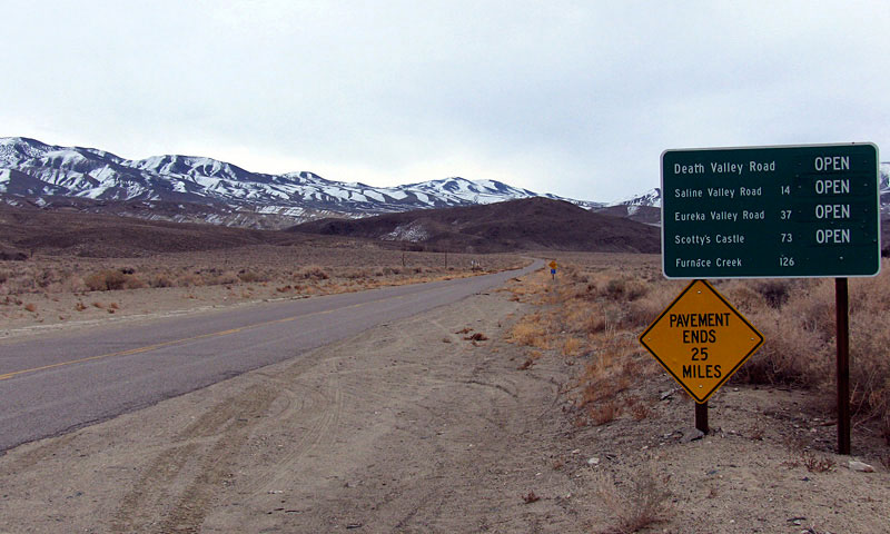
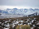
Death Valley Rd (Waucoba Rd)
off Highway 168 |
|
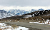
Sierra Nevada Mountains from Death Valley Road |
|
|
 |
|
 |
|
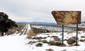
| Saline Valley Road |
|
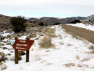
Sierra Nevada Mountains
and Death Valley Road |
|
|
 |
|
 |
|
 |
|
| Death Valley Road (Loretta Mine Road) |
|
|
|
|
|
|
|
|
 |
|
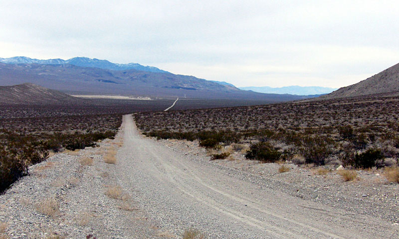
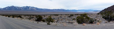
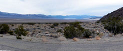
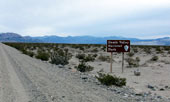
| Last Chance Range and Eureka Valley from Big Pine Road (Death Valley Road) |
|
|
 |
|
 |
|
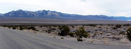
| Last Chance Range and Eureka Valley from Big Pine Road (Death Valley Road) |
|
|
 |
|
|
|
Big Pine Road
(Death Valley Road) |
|
|
|
|
|
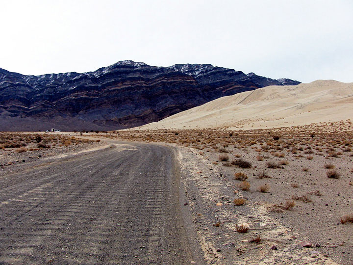
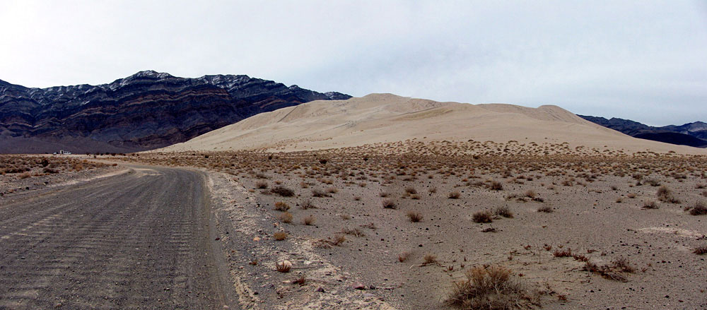
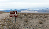
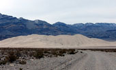
| Eureka Dunes (Eureka Sand Dunes) |
|
 |
|
 |
|
| South Eureka Road |
|
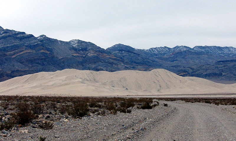
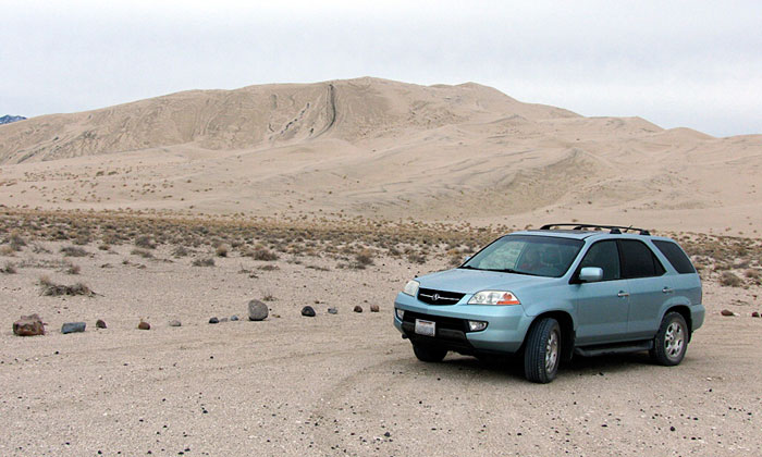
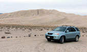
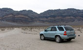
Eureka Dunes
(Eureka Sand Dunes) |
|
|
 |
|
 |
|
 |
|
| Eureka Sand Dunes |
|
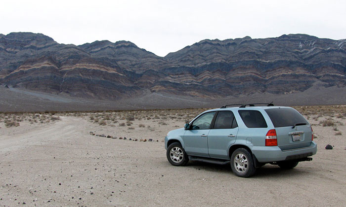
Last Chance Range |
|
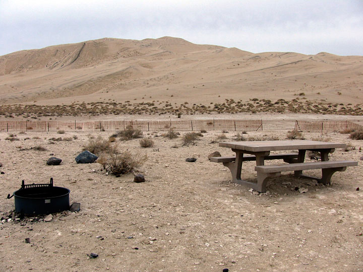
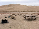
Eureka Dunes
Campground |
|
|
 |
|
 |
|
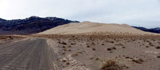
| Last Chance Range and Eureka Sand Dunes |
|
|
 |
|
| Last Chance Range and Eureka Sand Dunes |
|
|
|
|
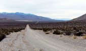
| Crankshaft Junction - Big Pine Road |
|
 |
|
|
|
Big Pine Rd (Death Valley Rd)
from Crankshaft Junction |
|
|
|
|
|
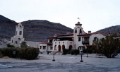
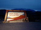
| Scotty's Castle Road |
|
 |
|
 |
|
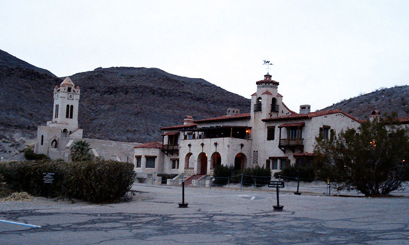
| Scotty's Castle |
|
|
|
|
|
| Nevada State Route 267 & U.S. Route 95 |
|
| No photos |
|
|
|
|
| Beatty, Nevada |
|
| No photos |
|
|
|
|
| Day 2 - Salt Creek & Racetrack |
|
 |
|
 |
|
 |
|
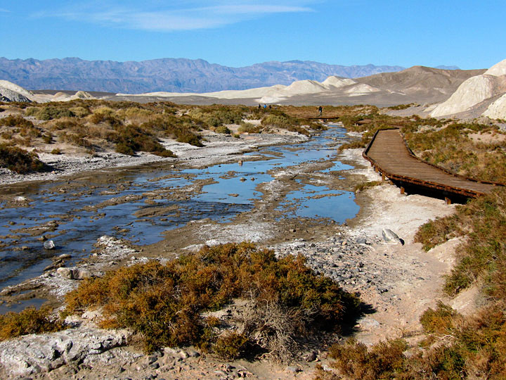
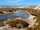
| Salt Creek |
|
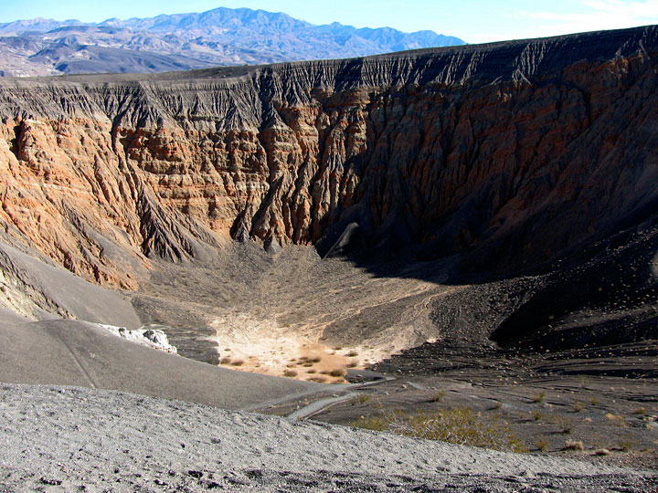
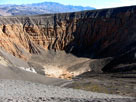
Ubehebe Crater |
|
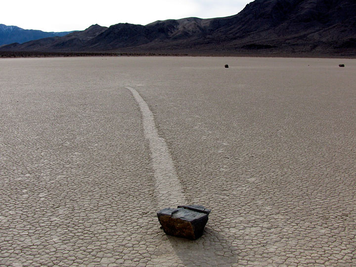
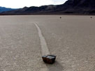
Moving Rocks,
Racetrack Playa |
|