| Death Valley 2009 (Day 3) |
 |
|
|
|
|
|
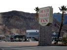
| Beatty, Nevada |
|
 |
|
 |
|
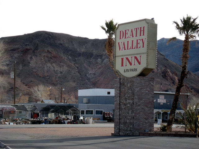
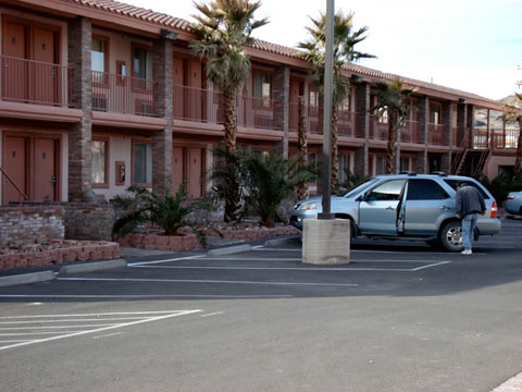
| Death Valley Inn |
|
|
|
|
| Nevada State Route 374 |
|
 |
|
|
|
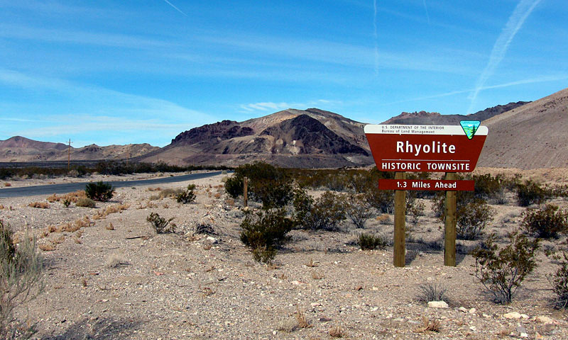
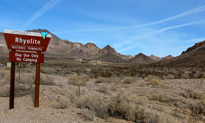
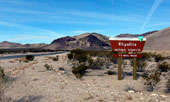
Rhyolite entrance
off Nevada 374 |
|
|
|
|
|
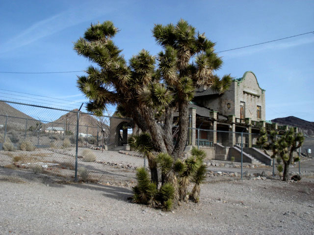
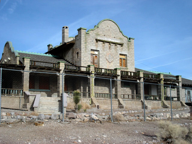
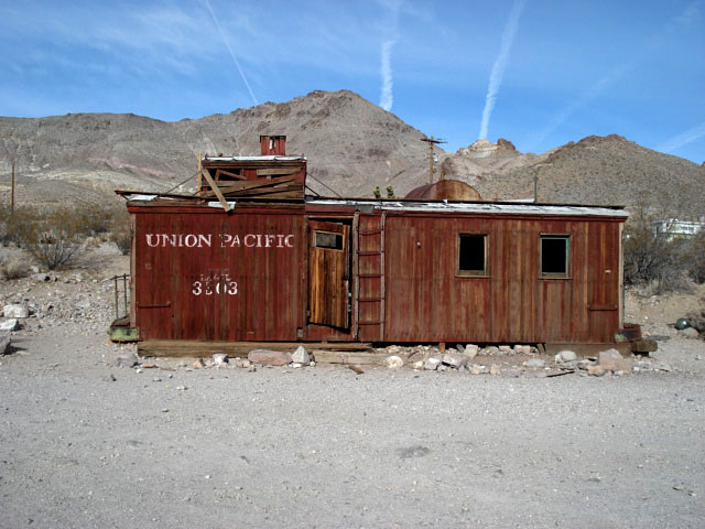
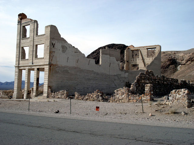
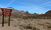
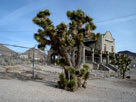
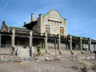
| Rhyolite |
|
 |
|
 |
|
 |
|
| Rhyolite (ghost town) |
|
|
|
|
|
|
|
|
|
|
|
|
|
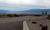
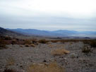
| Hells Gate |
|
 |
|
 |
|
 |
|
|
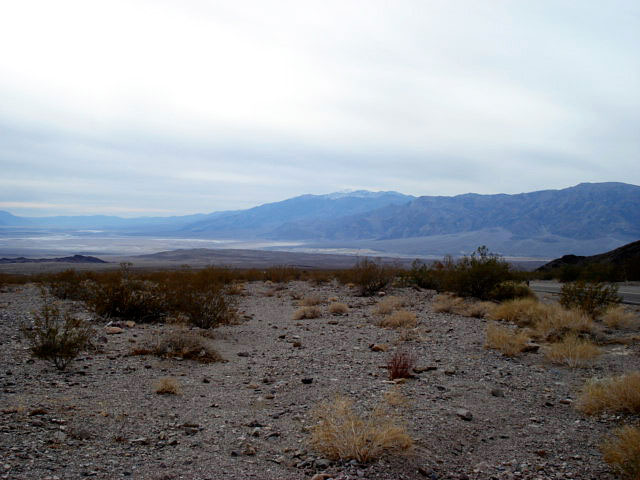
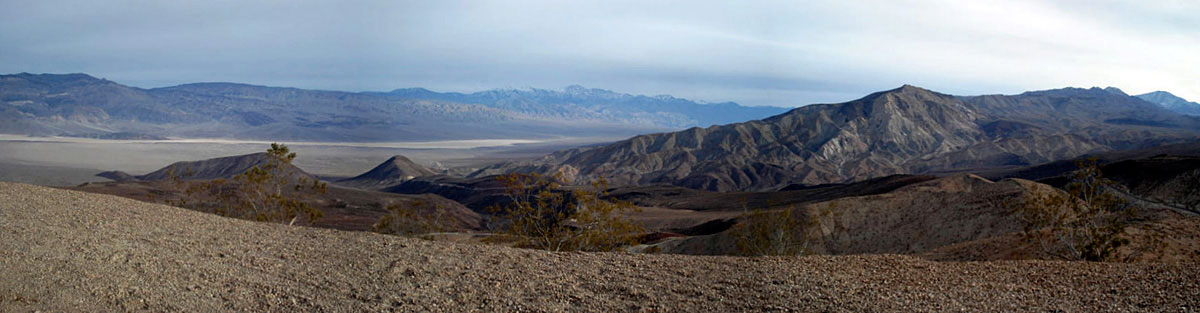
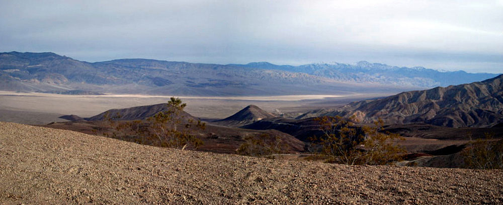
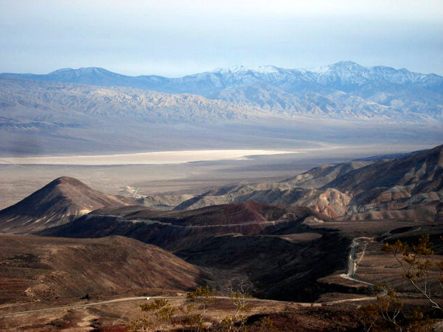
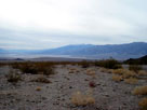
Death Valley from Hells Gate |
|
|
|
|
 |
|
|
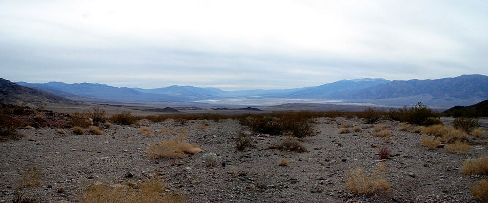
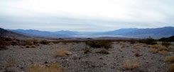
Death Valley from Hells Gate |
|
|
|
|
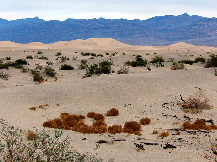
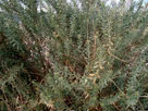
| Devil's Corn Field |
|
 |
|
 |
|
 |
|
|
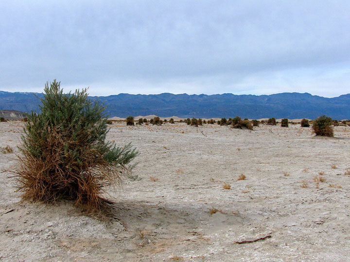
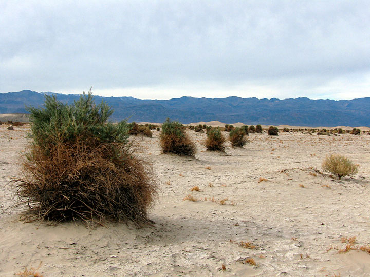
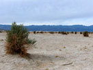
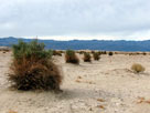
Devil's Corn Field |
|
|
|
|
|
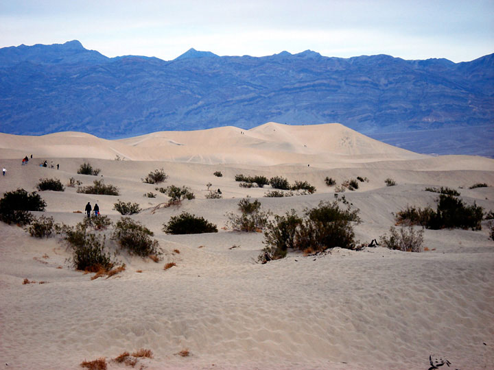
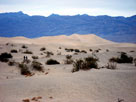
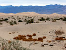
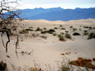
| Sand Dunes |
|
 |
|
 |
|
 |
|
| Grapevine Mountains and Sand Dunes |
|
|
|
|
|
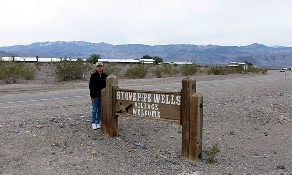
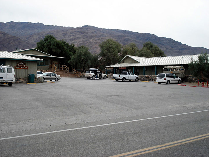
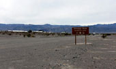
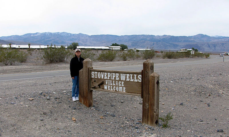
| Stovepipe Wells Village |
|
 |
|
 |
|
Stovepipe Wells Village
and Highway 190 |
|
|
|
 |
|
 |
|
| Stovepipe Wells Village and Highway 190 |
|
|
|
|
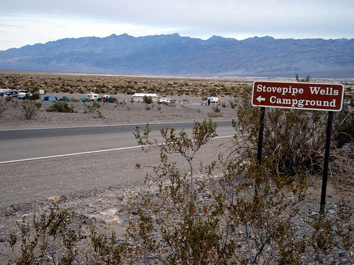
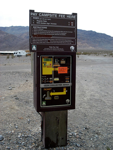
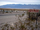
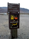
| Stovepipe Wells Campground |
|
 |
|
 |
|
Stovepipe Wells
Campground and
Highway 190 |
|
|
|
|
|
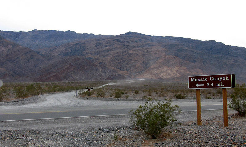
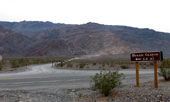
| Mosaic Canyon Road |
|
 |
|
|
|
Mosaic Canyon Road
and Highway 190 |
|
|
|
|
|
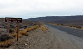
| Emigrant Canyon Road |
|
 |
|
 |
|
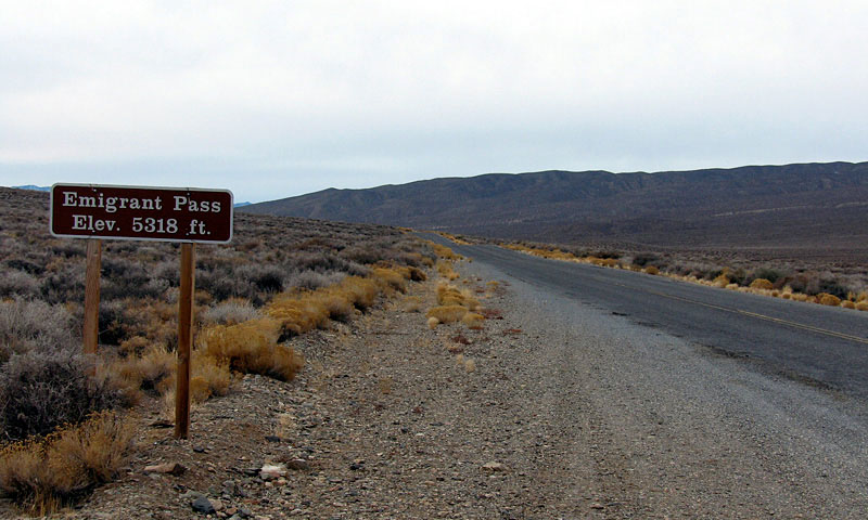
Emigrant Pass and
Emigrant Canyon Road
(Wildrose Road) |
|
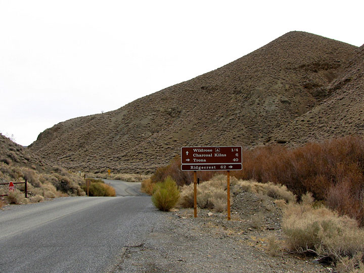
Charcoal Kilns Road from
Emigrant Canyon Road |
|
|
|
|
| Charcoal Kilns Road |
|
 |
|
 |
|
 |
|
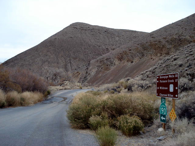
Emigrant Canyon Road
(Wildrose Road) from
Charcoal Kilns Road |
|
Wildrose Campground |
|
|
|
|
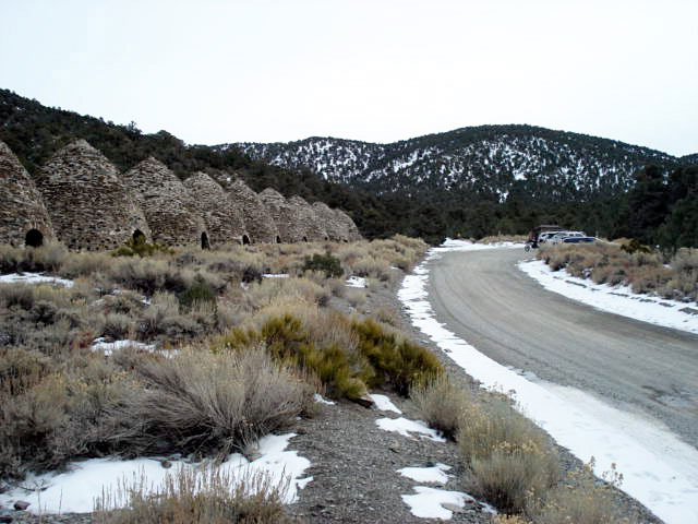
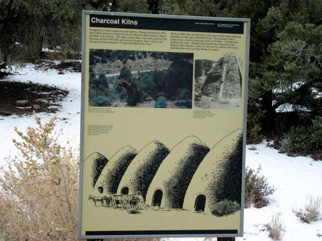
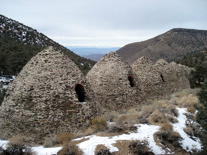
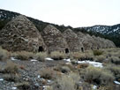
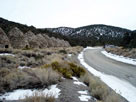
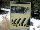
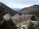
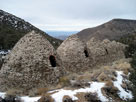
| Charcoal Kilns |
|
 |
|
 |
|
 |
|
|
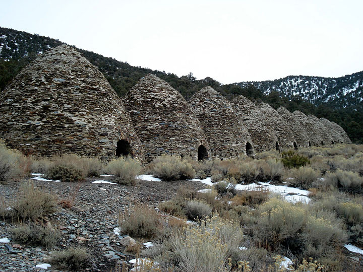
Charcoal Kilns and
Mahogany Flat Road |
|
|
|
 |
|
 |
|
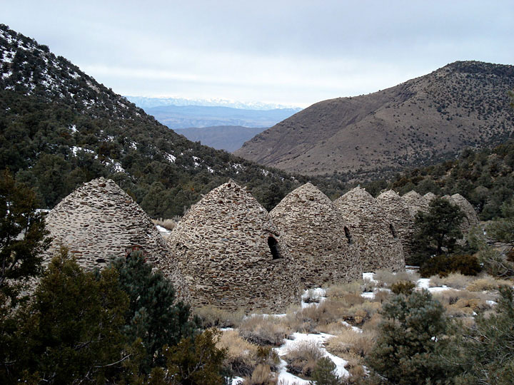
| Sierra Nevada Mountains and Charcoal Kilns |
|
|
 |
|
|
|
Sierra Nevada Mountains
from Charcoal Kilns Road |
|
|
|
|
|
| Wildrose Trona Road |
|
 |
|
 |
|
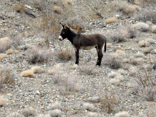
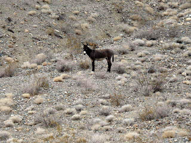
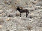
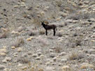
| A desert survivor |
|
|
|
|
|
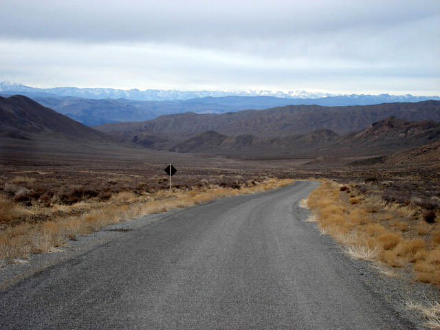
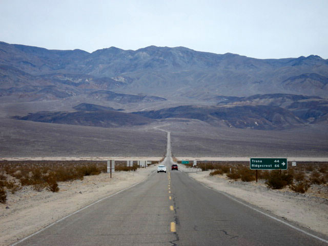
| Panamint Valley Road |
|
 |
|
 |
|
| Panamint Valley Road |
|
|
|
|
|
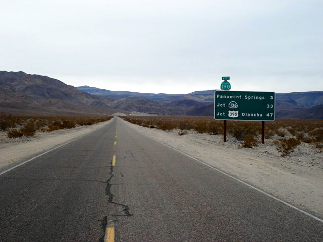
| Highway 190 (California State Route 190) |
|
 |
|
 |
|
|
| Highway 190 west |
|
Panamint Range
and Highway 190 |
|
|
|
|
|
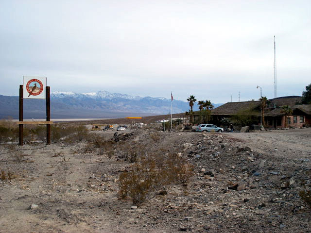
| Panamint Springs |
|
 |
|
|
|
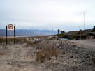
Panamint Springs Resort
and Highway 190 |
|
|
|
|
|
| Father Crowley Vista |
|
 |
|
 |
|
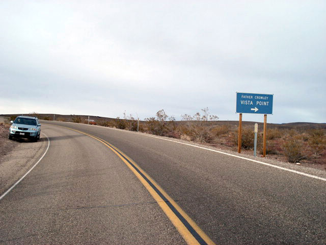
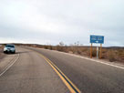
Father Crowley Vista Point
entrance and Highway 190 |
|
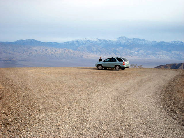
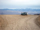
Father Crowley Vista |
|
|
 |
|
 |
|
 |
|
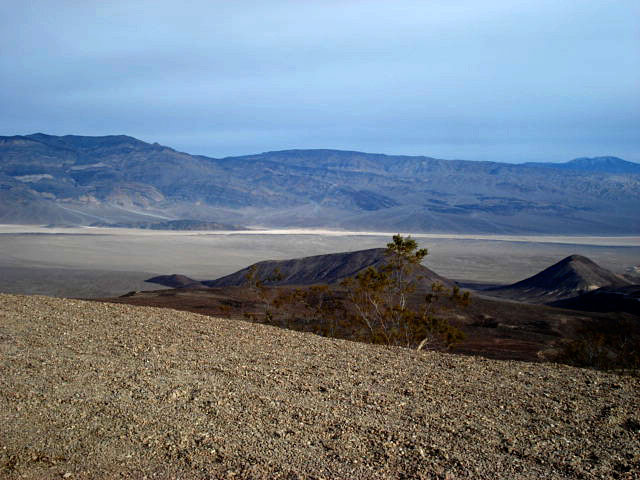
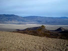
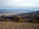
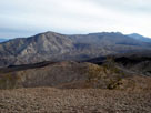
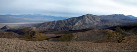
| Panamint Range and Panamint Valley from Father Crowley Vista |
|
|
 |
|
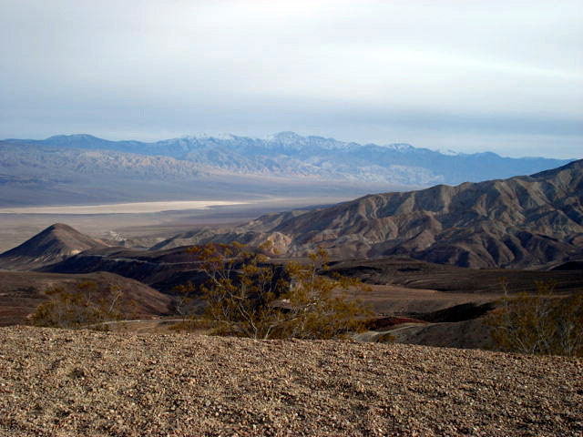
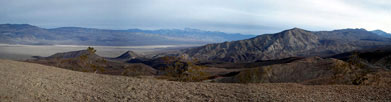
| Panamint Range and Panamint Valley from Father Crowley Vista |
|
|
 |
|
 |
|
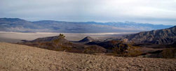
| Panamint Range and Panamint Valley from Father Crowley Vista |
|
|
 |
|
|
|
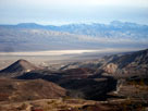
Panamint Valley and
Highway 190 from
Father Crowley Vista |
|
|
|
|
|
| Highway 190 (California State Route 190) |
|
 |
|
 |
|
|
| Highway 190 west |
|
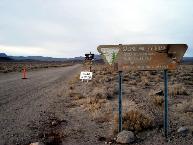
Saline Valley Road |
|
|
|
 |
|
 |
|
|
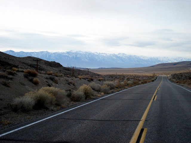
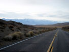
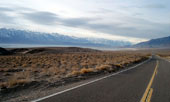
Sierra Nevada Mountains,
Owens Lake and
Highway 190 (west) |
|
|
|
|
| Highway 136 (California State Route 136) |
|
 |
|
 |
|
|
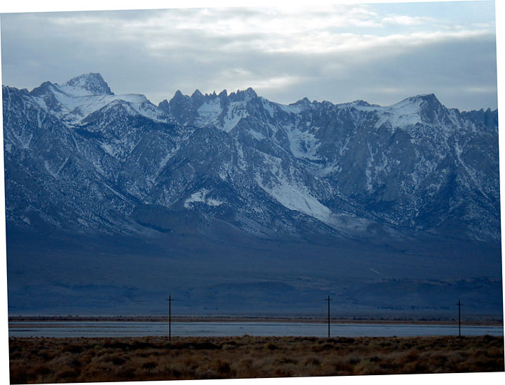
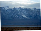
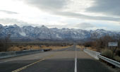
Mount Corcoran
from Highway 136 |
|
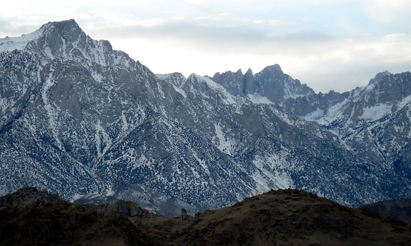
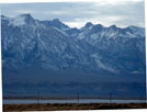
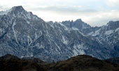
Mount Whiteny
and Mount Russell
from Highway 136 |
|
|
|
 |
|
 |
|
 |
|
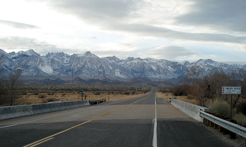
Highway 136 (west)
crossing Owens River |
|
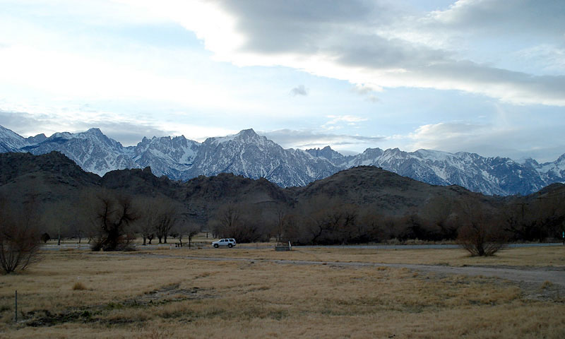
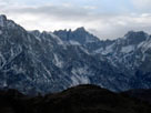
Mount Whiteny
from Highway 136 |
|
|
|
|
|
|
|
|
|
|
|
|
|
|
|
|
|