Golden Trout Lakes Trail,
Mono Lake & Fairview Dome (Day 1) |
 |
|
|
 |
|
 |
| CA State Route 152 & Interstate 5 |
 |
| No photos |
|
 |
|
 |
| CA State Route 46 & U.S. Route 99 |
 |
| No photos |
|
 |
|
 |
|
|
 |
 |
 |
 |
 |
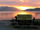
| Lake Isabella from Kissack Bay Recreation Site |
|
 |
|
 |
|
|
 |
 |
 |
 |
 |
Walker Pass and
Highway 178 (west) |
|
|
 |
|
 |
|
|
 |
|
 |
|
|
 |
 |
 |
 |
 |
|
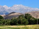
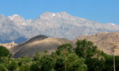
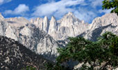
Mount Williamson from
Eastern Sierra Interagency
Visitor Center |
|
 |
|
 |
|
|
 |
|
 |
|
|
 |
 |
 |
 |
 |
 |
 |
|
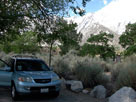
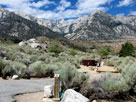
Mount Whitney from
Lone Pine Campground |
|
 |
 |
 |
 |
 |
Mount Whitney from
Lone Pine Campground |
|
|
 |
|
 |
| Whitney Portal Road |
 |
 |
 |
 |
 |
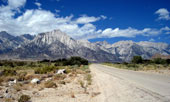
Lone Pine Peak and
Mount Whitney from
Whitney Portal Road |
|
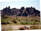
Alabama Hills from
Whitney Portal Road |
|
 |
|
 |
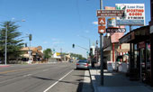
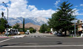
| Lone Pine |
 |
 |
 |
 |
 |
Lone Pine and
Highway 395 (north) |
|
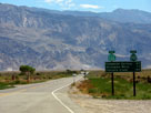
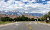
Whitney Portal Road
and Highway 395 |
|
 |
|
 |
|
|
 |
 |
 |
 |
 |
Inyo Mountains and
Highway 136 (east) |
|
Lone Pine Peak, Mt. Whitney
and Highway 395 from
Highway 136 (west) |
|
 |
|
 |
|
|
 |
 |
 |
 |
 |
 |
 |
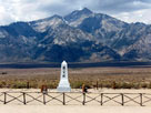
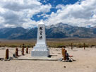
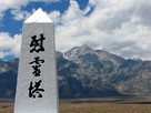
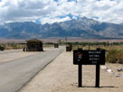
Mount Williamson and Manzanar Cemetery
(Manzanar National Historic Site) |
|
|
 |
 |
 |
 |
 |
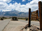
Manzanar National Historic Site entrance
off Highway 395 |
|
 |
|
 |
| Independence |
 |
 |
 |
 |
 |
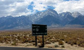
Mt. Williamson from Highway
395 near Independence |
|
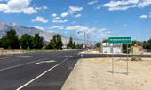
Highway 395 (north)
into Independence |
|
 |
 |
 |
 |
 |
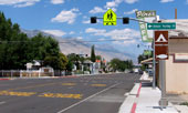
Independence and
Highway 395 (north) |
|
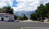
Mt. Bradley, West Market Street
(Onion Valley Road) and
Highway 395, Independence |
|
 |
|
 |
| Onion Valley Road |
 |
 |
 |
 |
 |
 |
 |
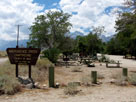
Independence Creek
Campground |
|
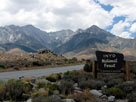
Mount Bradley,
University Peak and
Independence Peak |
|
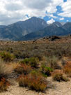
Mount Williamson
from Onion Valley
Road |
|
 |
 |
 |
 |
 |
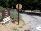
Lower Grays Meadow
Campground entrance |
|
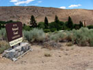
Upper Grays Meadow
Campground entrance |
|
 |
 |
 |
 |
 |
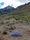
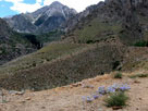
| Independence Peak from Onion Valley Road |
|
 |
 |
 |
 |
 |
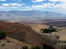
Inyo Mountains and
Owens Valley from
Onion Valley Road |
|
|
 |
|
|
 |
|
|
 |
|
 |
| Onion Valley |
 |
 |
 |
 |
 |
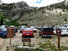
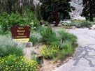
Onion Valley
(Onion Valley Roadend) |
|
Onion Valley Campground
entrance |
|
 |
|
 |
|
|
 |
 |
 |
 |
 |
|
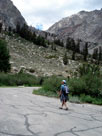
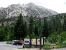
Independence Peak,
Robinson Lake Falls and
Onion Valley Campground |
|
 |
|
 |
|
|
 |
 |
 |
 |
 |
 |
 |
| Kearsarge Pass Trail |
|
Onion Valley |
|
|
 |
 |
 |
 |
 |
 |
 |
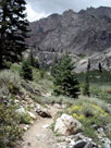
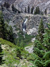
Golden Trout Falls
from Kearsarge Pass Trail |
|
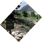
Kearsarge Pass
5 miles ahead |
|
 |
|
 |
|
|
 |
|
|
 |
 |
 |
 |
 |
 |
 |
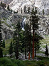
| Golden Trout Falls |
|
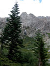
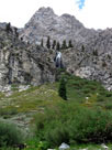
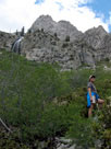
Kearsarge Peak and Golden Trout Falls
from Golden Trout Lakes Trail |
|
 |
 |
 |
 |
 |
 |
 |
|
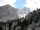
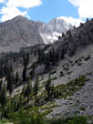
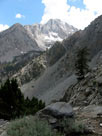
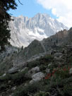
University Peak from
Golden Trout Lakes Trail |
|
Kearsarge Peak and
Golden Trout Falls |
|
 |
 |
 |
 |
 |
 |
 |
| University Peak |
|
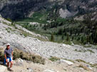
Golden Trout Lakes Trail |
|
 |
 |
 |
 |
 |
Onion Valley from
Golden Trout Lakes Trail |
|
|
 |
|
 |
|
|
 |
 |
 |
 |
 |
 |
 |
| University Peak from Golden Trout Lakes Trail |
|
 |
|
 |
|
|
 |
 |
 |
 |
 |
 |
 |
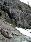
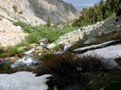
| Golden Trout Lakes Trail along Independence Creek (tributary) |
|
 |
 |
 |
 |
 |
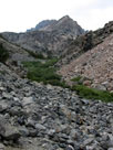
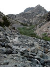
| Golden Trout Lakes Trail into rock fields |
|
 |
 |
 |
 |
 |
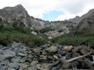
Independence Creek
(tributary) |
|
|
 |
|
 |
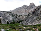
| Below Golden Trout Lake (Golden Trout Lakes) |
 |
 |
 |
 |
 |
 |
 |
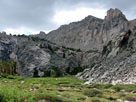
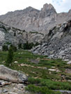
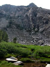
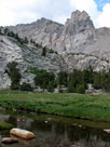
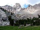
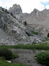
| Bowl below Golden Trout Lakes from Golden Trout Lakes Trail |
|
 |
 |
 |
 |
 |
 |
 |
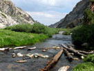
| Independence Creek (tributary) from Golden Trout Lakes Trail |
|
 |
 |
 |
 |
 |
 |
 |
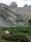
| Bowl below Golden Trout Lakes from Golden Trout Lakes Trail |
|
 |
|
 |
|
|
 |
 |
 |
 |
 |
 |
 |
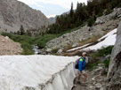
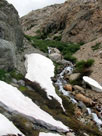
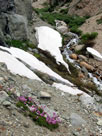
| Golden Trout Lakes Trail along Independence Creek (tributary) |
|
 |
 |
 |
 |
 |
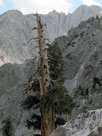
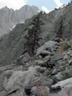
University Peak from
Golden Trout Lakes Trail |
|
 |
 |
 |
 |
 |
 |
 |
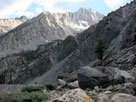
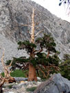
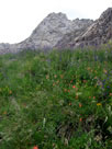
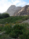
| Golden Trout Lakes Trail |
|
University Peak |
|
|
 |
 |
 |
 |
 |
 |
 |
|
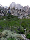
Kearsarge Peak (?) from
Golden Trout Lakes Trail |
|
 |
 |
 |
 |
 |
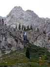
Kearsarge Peak and Golden Trout Falls
from Golden Trout Lakes Trail |
|
 |
|
 |
|
|
 |
|
|
 |
|
 |
|
|
 |
|
 |
| Day 2 - Highway 395 & Mono Lake |
 |
 |
 |
 |
 |
 |
 |
 |
 |
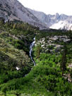
Robinson Lake Falls
from Onion Valley
Campground |
|
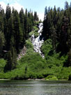
Twin Falls and
Twin Lakes
(Mammoth Lakes) |
|
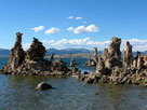
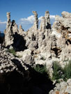
Mono Lake Tufa State Natural Reserve
(Mono Lake South Tufa) |
|