| Lone Pine & Upper Boy Scout Lake (Day 1) |
 |
|
|
 |
|
 |
|
|
 |
|
 |
|
|
 |
|
 |
|
|
 |
 |
 |
 |
 |
 |
 |
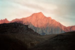
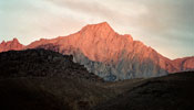
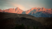
| Lone Pine Peak from Portagee Joe Campground |
|
|
 |
 |
 |
 |
 |
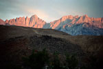
Mount Whitney and
Mount Russell from
Portagee Joe Campground |
|
|
 |
 |
 |
 |
 |
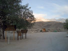
Portagee Joe Campground
from Tuttle Creek Road |
|
|
 |
|
 |
| Lone Pine |
 |
 |
 |
 |
 |
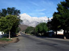
Lone Pine Peak,
Mount Whitney and
Whitney Portal Road |
|
|
 |
|
 |
|
|
 |
 |
 |
 |
 |
 |
 |
| Mount Langley |
|
Lone Pine Peak
and Mount Whitney |
|
Mount Williamson |
|
 |
 |
 |
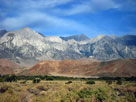
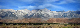
Mount Langley, Lone Pine Peak, Mount Whitney and Mount Williamson
from above Lone Pine Narrow Gauge Road |
|
 |
 |
 |
 |
 |
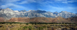
Mount Langley, Lone Pine Peak, Mount Whitney and Mount Williamson
from above Lone Pine Narrow Gauge Road |
|
 |
 |
 |
 |
 |
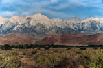
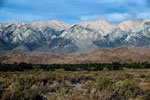
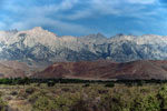
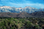
Lone Pine Peak, Mt. Whitney
and Mt. Williamson |
|
Lone Pine Peak
and Mount Whitney |
|
 |
 |
 |
 |
 |
 |
 |
| Mount Langley |
|
Lone Pine Peak
and Mount Whitney |
|
Mount Williamson |
|
 |
 |
 |
Mount Langley, Lone Pine Peak, Mount Whitney and Mount Williamson
from above Lone Pine Narrow Gauge Road |
|
 |
 |
 |
 |
 |
Mount Langley, Lone Pine Peak, Mount Whitney and Mount Williamson
from above Lone Pine Narrow Gauge Road |
|
 |
|
 |
|
|
 |
 |
 |
Mount Langley, Lone Pine Peak, Mount Whitney and Mount Williamson
from above Lone Pine Narrow Gauge Road |
|
 |
 |
 |
 |
 |
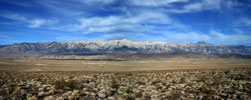
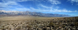
Mount Langley, Lone Pine Peak, Mount Whitney and Mount Williamson
from above Lone Pine Narrow Gauge Road |
|
 |
 |
 |
 |
 |
 |
 |
| Mount Langley, Lone Pine Peak and Mount Whitney |
|
Mount Williamson |
|
 |
 |
 |
 |
 |
|
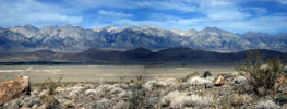
Mount Langley, Lone Pine Peak, Mount Whitney
and Mount Williamson
from above Lone Pine Narrow Gauge Road |
|
 |
 |
 |
 |
 |
| Mt. Langley, Lone Pine Peak, Mt. Whitney and Mt. Williamson |
|
 |
 |
 |
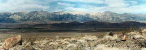
Mt. Langley, Lone Pine Peak, Mt. Whitney and
Mt. Williamson from above Lone Pine Narrow Gauge Road |
|
 |
 |
 |
 |
 |
 |
 |
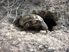
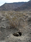
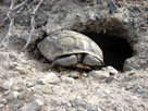
| An amazing creature, tortoise |
|
|
 |
|
 |
|
|
 |
|
 |
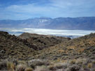
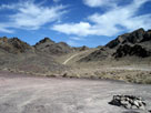
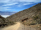
| Cerro Gordo Road |
 |
 |
 |
 |
 |
 |
 |
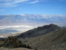
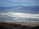
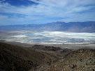
Olancha Peak and
Owens Lake from
Cerro Gordo Road |
|
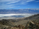
Sierra Crest
and Owens Lake |
|
 |
 |
 |
 |
 |
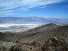
Olancha Peak
and Owens Lake |
|
|
 |
 |
 |
 |
 |
| Sierra Crest and Owens Lake |
|
 |
 |
 |
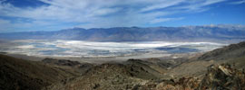
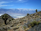
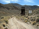
Sierra Crest and Owens Lake
from Cerro Gordo Road |
|
 |
 |
 |
 |
 |
 |
 |
|
Sierra Crest
and Owens Lake |
|
|
 |
|
 |
| Highway 136 (California State Route 136) |
 |
 |
 |
 |
 |
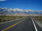
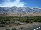
Sierra Crest from
Highway 136 west |
|
|
 |
 |
 |
 |
 |
 |
 |
| Mount Whitney and its neighboring peaks |
|
 |
 |
 |
| Mount Whitney and its neighboring peaks from Highway 136 west |
|
 |
 |
 |
 |
 |
| Mount Whitney and its neighboring peaks from Highway 136 west |
|
 |
|
 |
| Whitney Portal Road |
 |
 |
 |
 |
 |
Lone Pine Peak, Mount Whitney
and Lone Pine Campground entrance
from Whitney Portal Road |
|
 |
|
 |
| Horseshoe Meadows Road |
 |
 |
 |
 |
 |
Lone Pine Peak and
Tuttle Creek Campground
entrance |
|
Alabama Hills and
Horseshoe Meadows Road |
|
 |
 |
 |
 |
 |
 |
 |
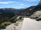
Inyo Mountains, Owens Valley and Lone Pine
from Horseshoe Meadows Road |
|
Horseshoe Meadow |
|
 |
|
 |
|
|
 |
 |
 |
 |
 |
Cottonwood Lakes
Walk-in Campground |
|
Equestrian Campground |
|
 |
 |
 |
 |
 |
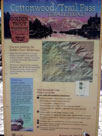
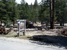
| Cottonwood Pass Trailhead |
|
 |
 |
 |
 |
 |
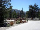
Cottonwood Pass
(Golden Trout)
Walk-in Campground |
|
|
 |
|
 |
|
|
 |
|
 |
|
|
 |
 |
 |
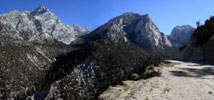
Lone Pine Peak, Peak 3681m, Thor Peak
and Whitney Portal Road |
|
 |
|
 |
|
|
 |
|
 |
| Day 2 - Hiking to Upper Boy Scout Lake |
 |
 |
 |
 |
 |
 |
 |
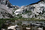
| Lower Boy Scout Lake |
|
Day Needle, Keeler Needle
and Mount Whitney |
|
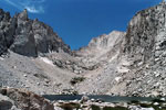
Mount Russell and
Upper Boy Scout Lake |
|